March 12, 2026
The morning was much nicer than the day before, with partly cloudy skies. Since our delayed flight was not leaving until that evening, we had a bonus day for more activities in Piha.
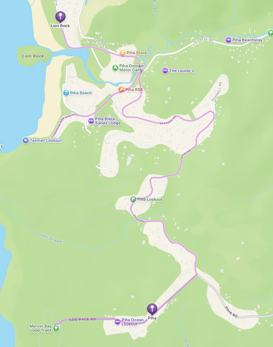
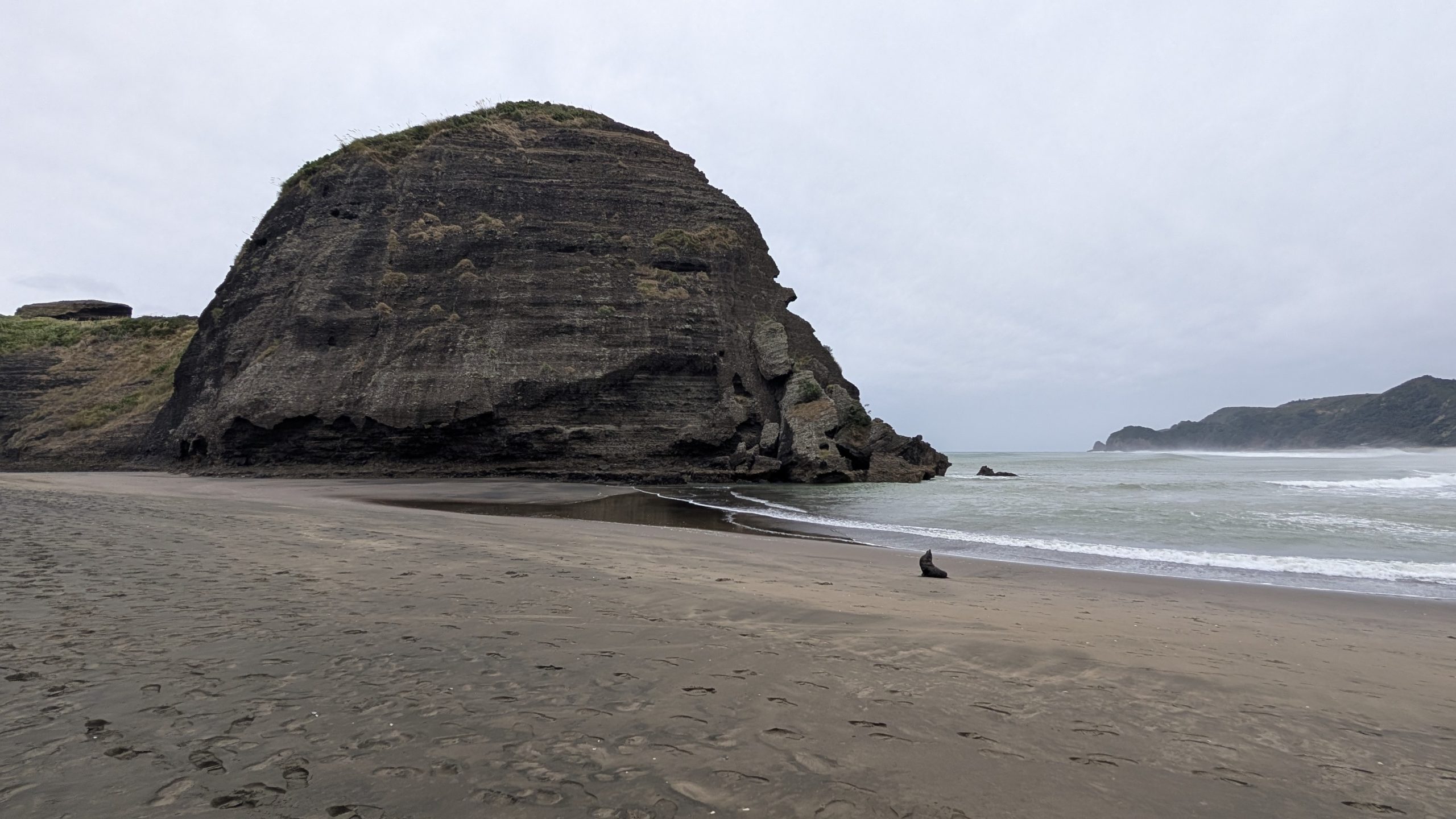
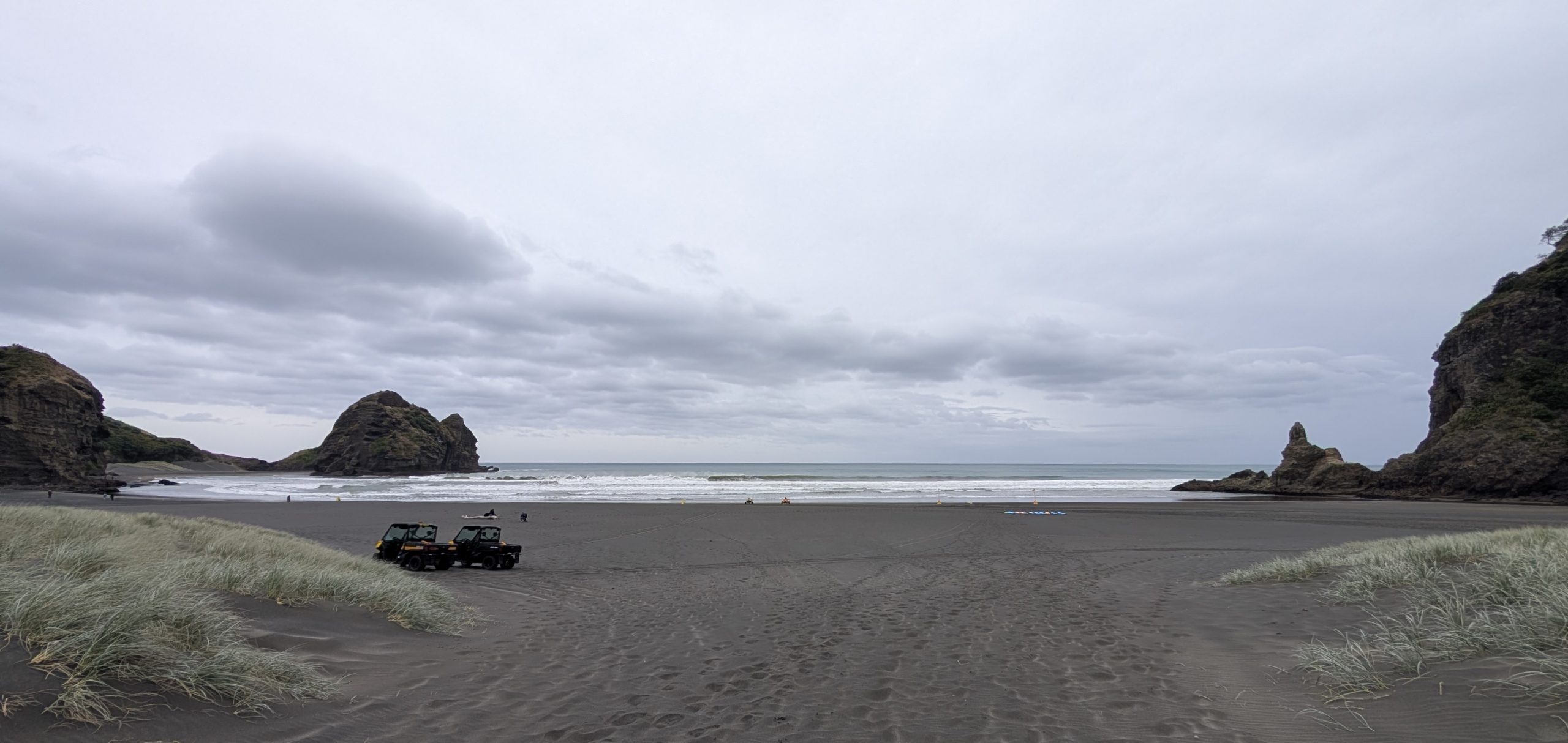
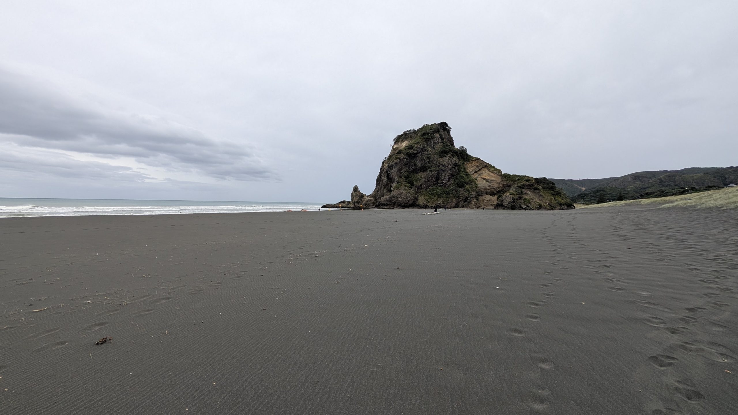
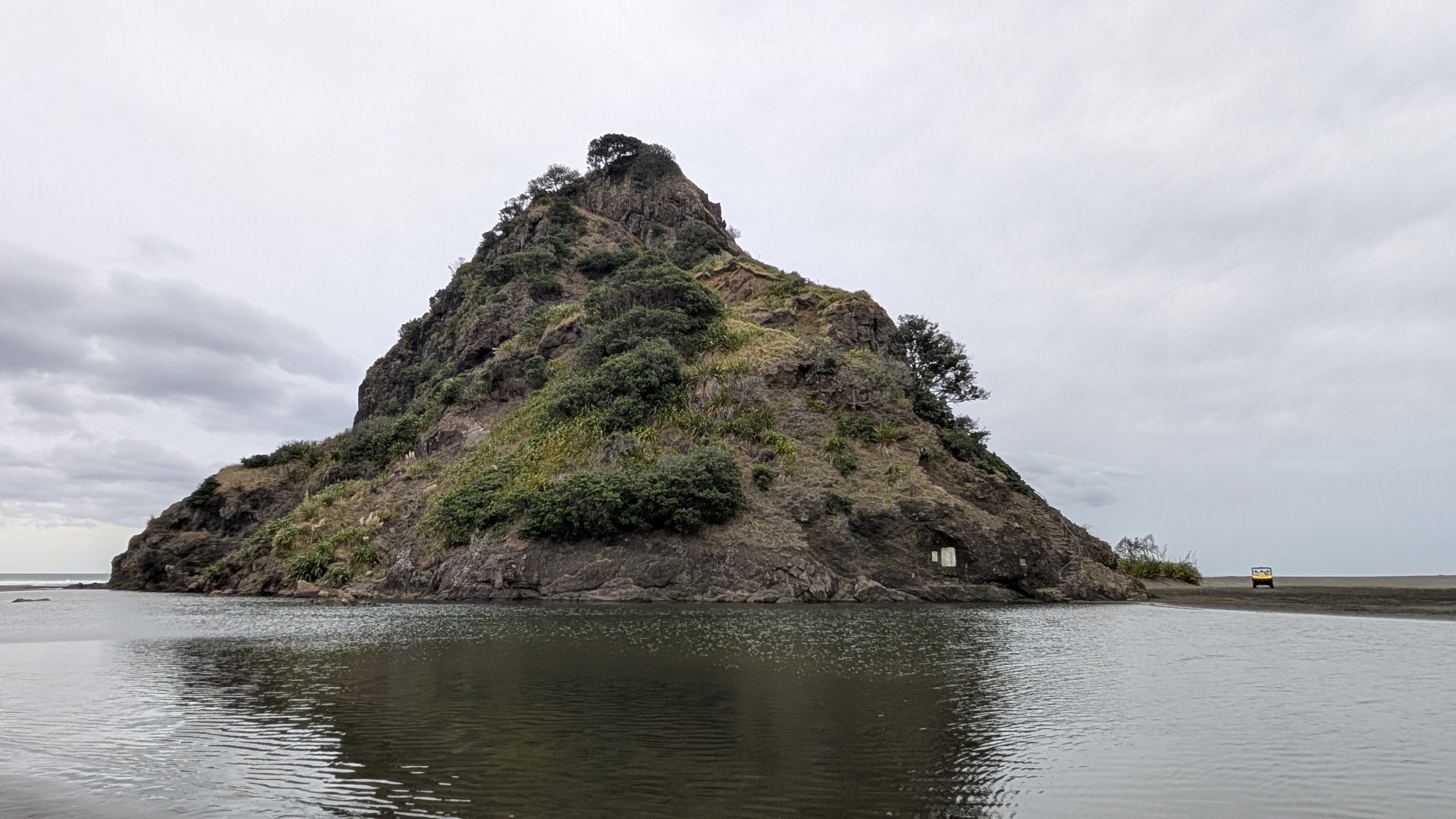
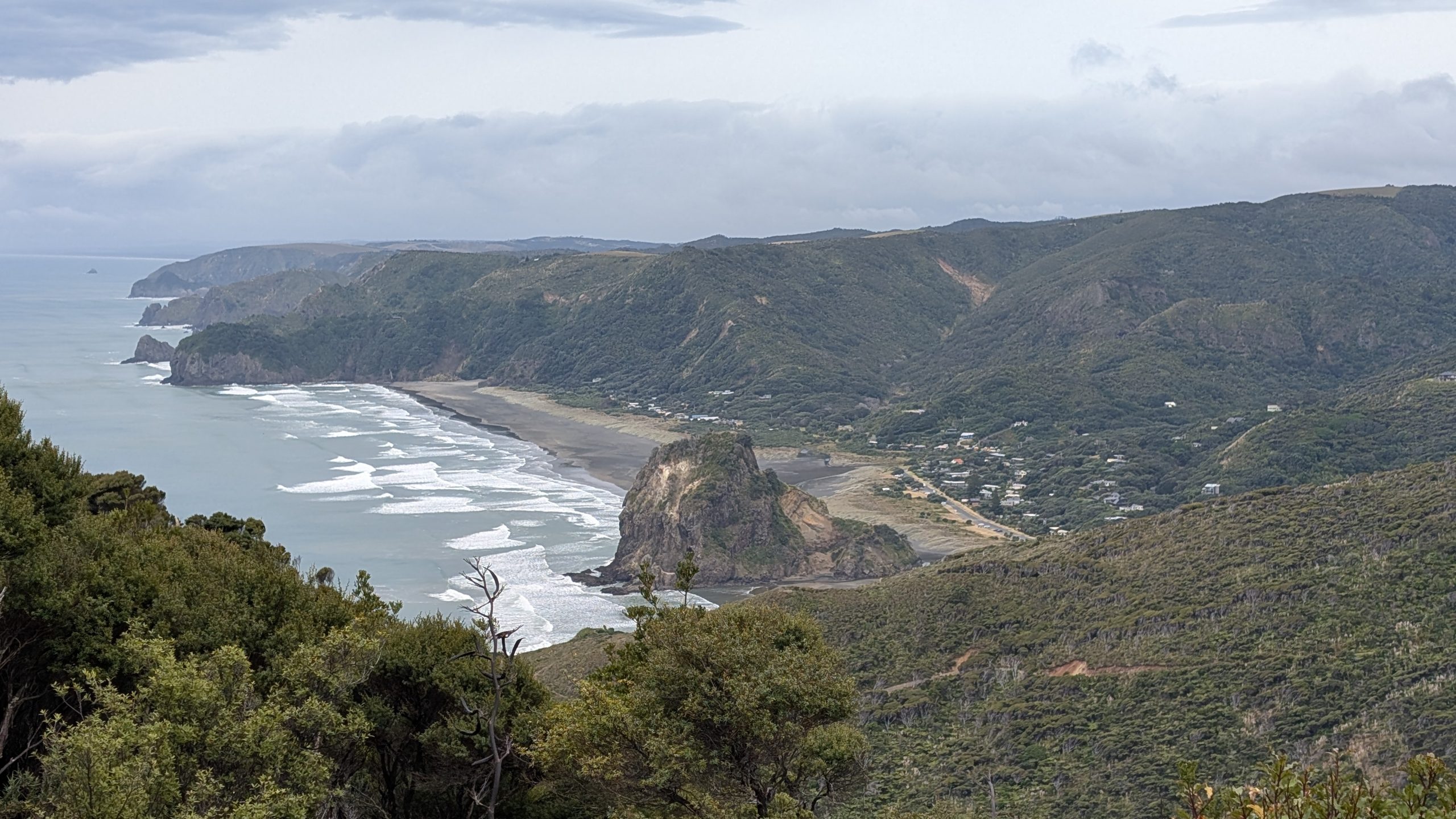
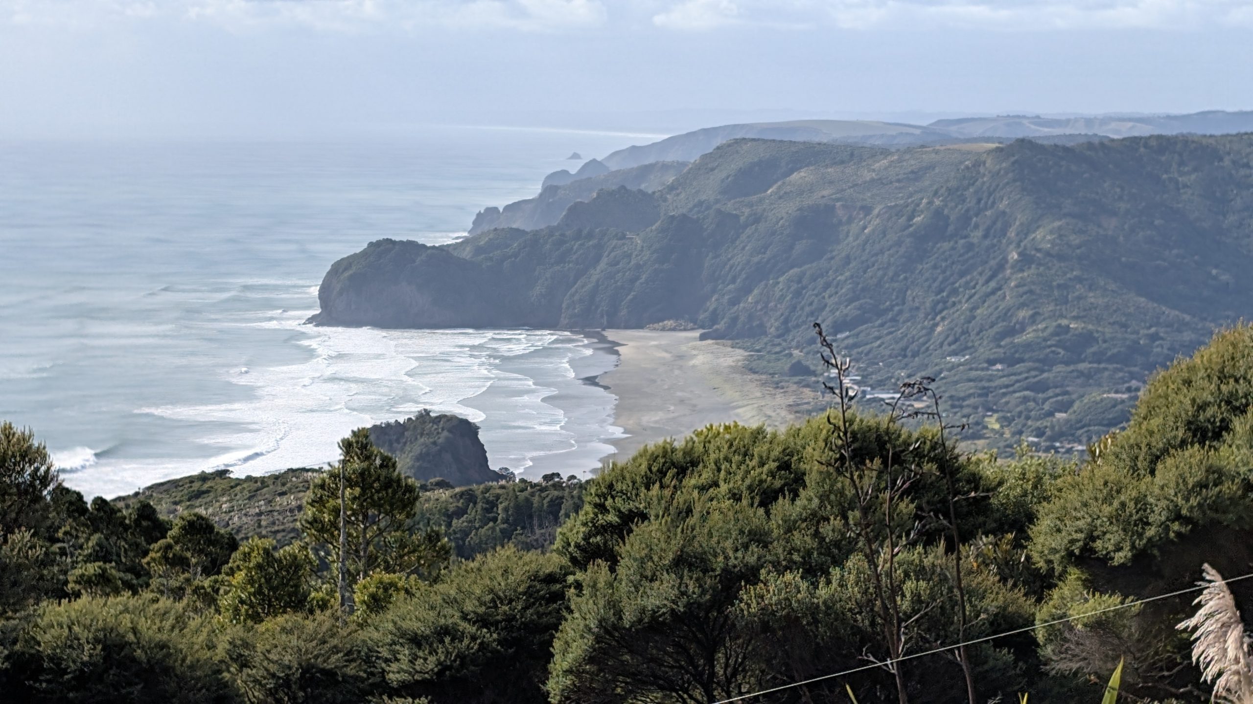
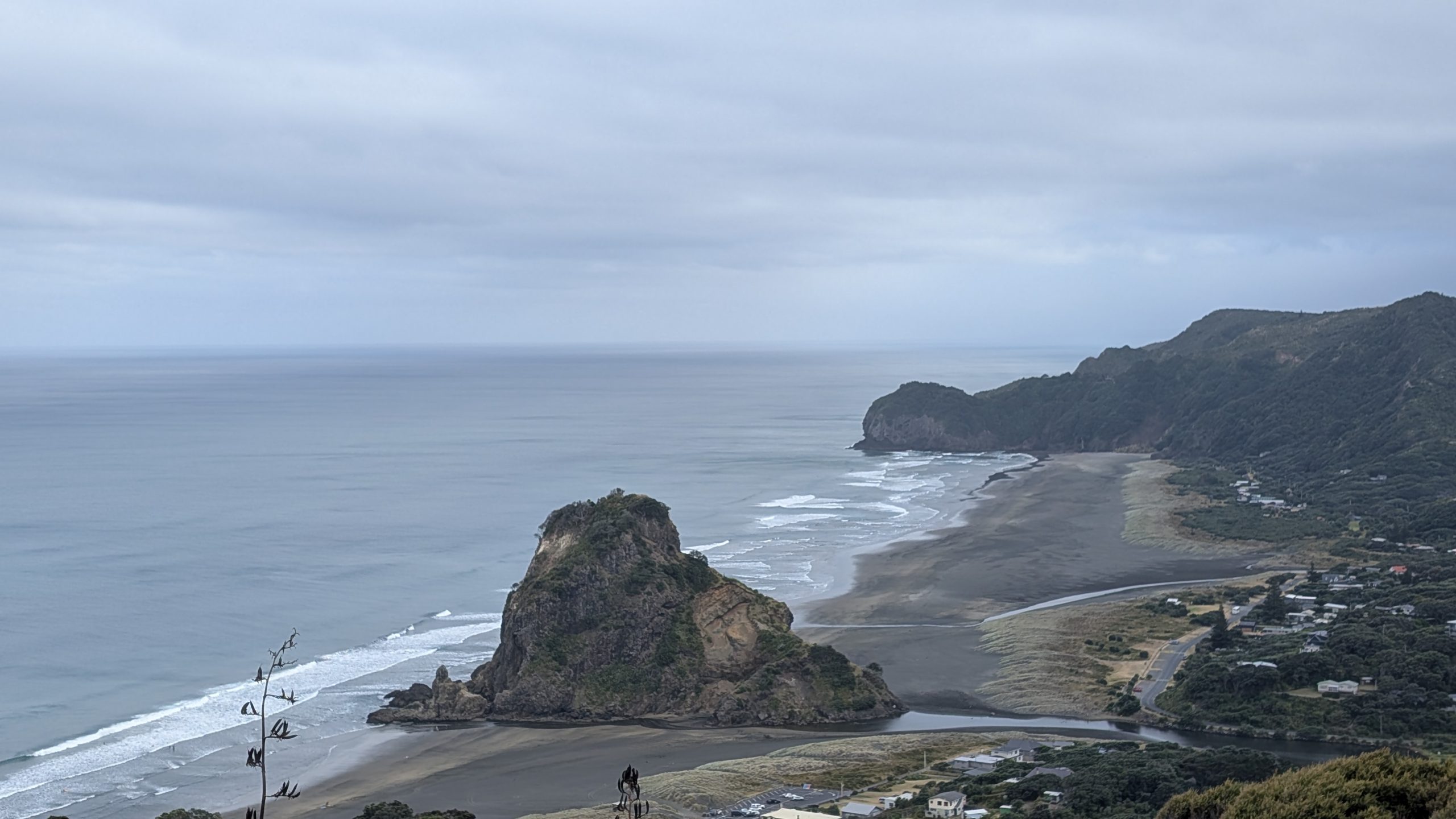
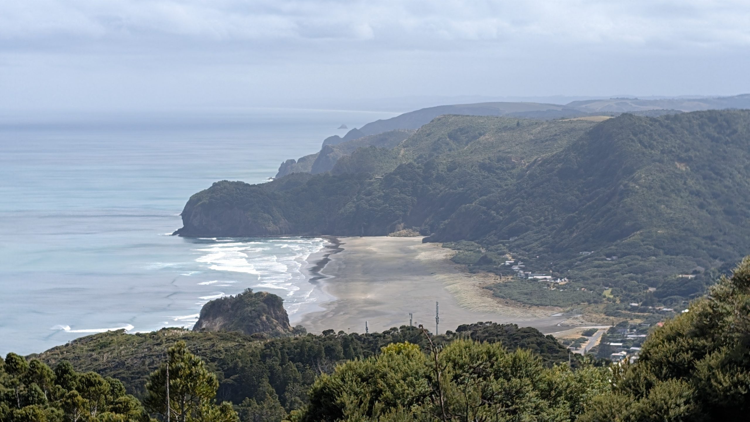
After finishing more leftovers for breakfast, we drove down to Piha and stopped at a roadside overlook of Lion Rock and the Piha beaches.
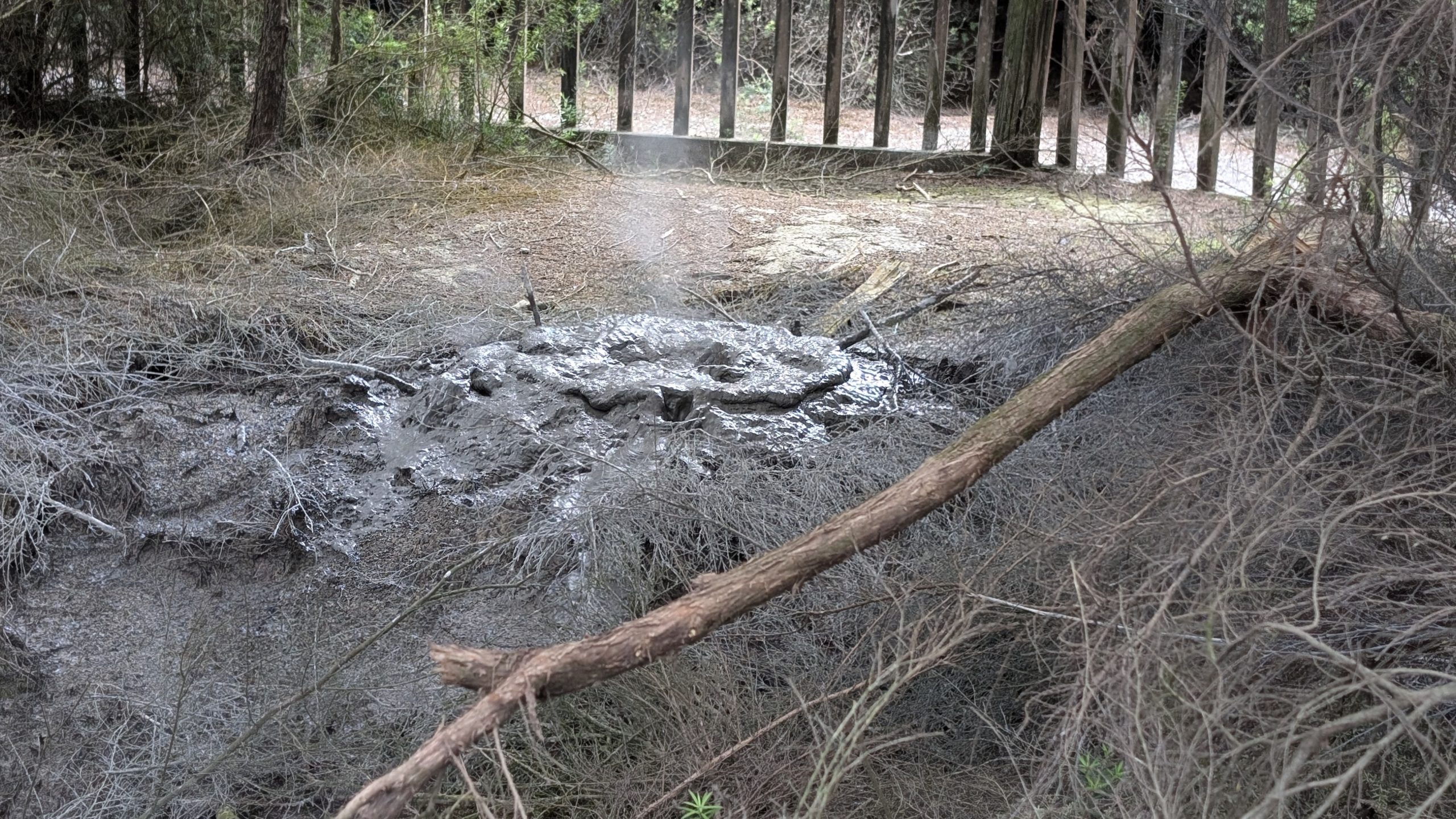
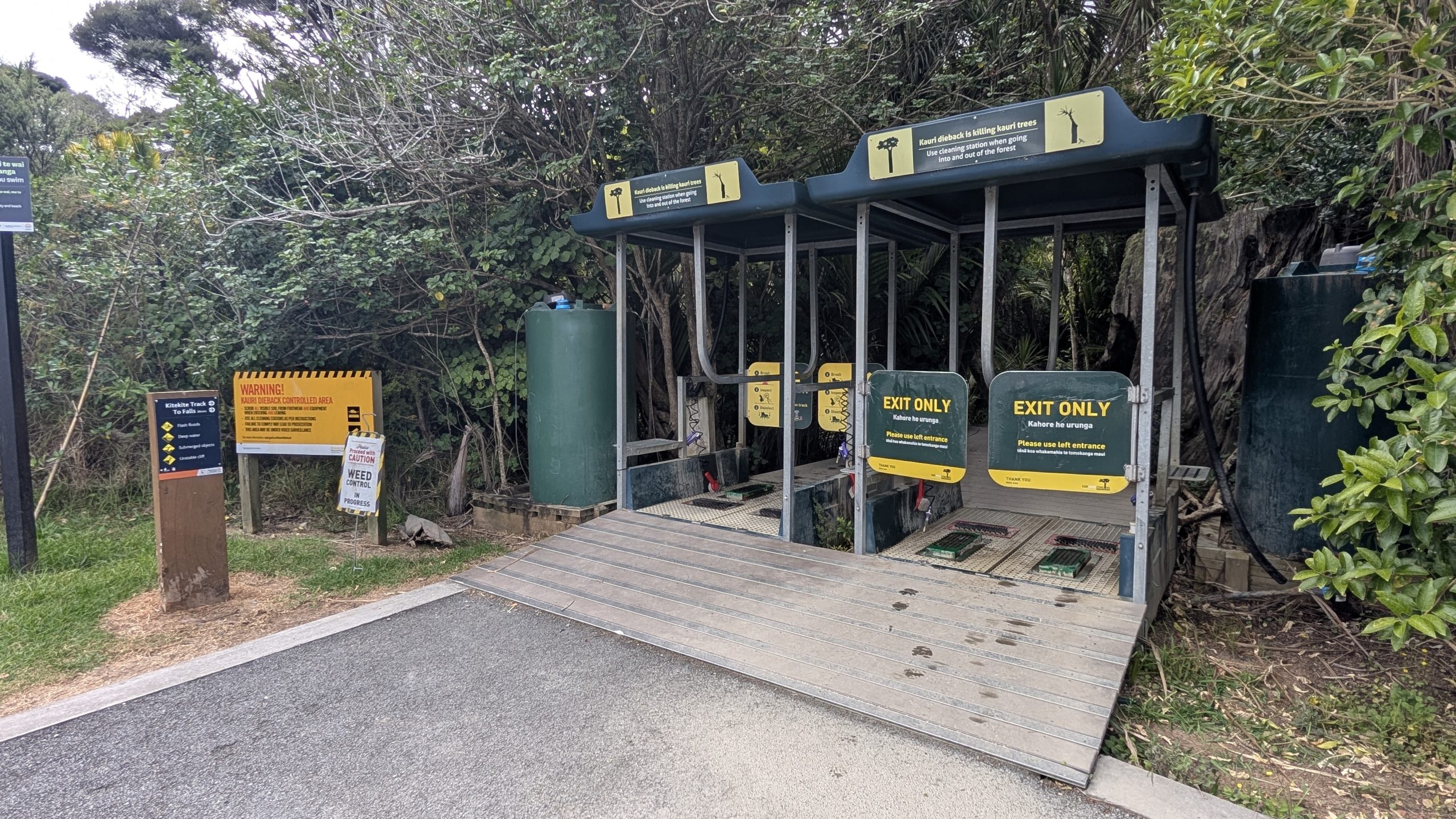
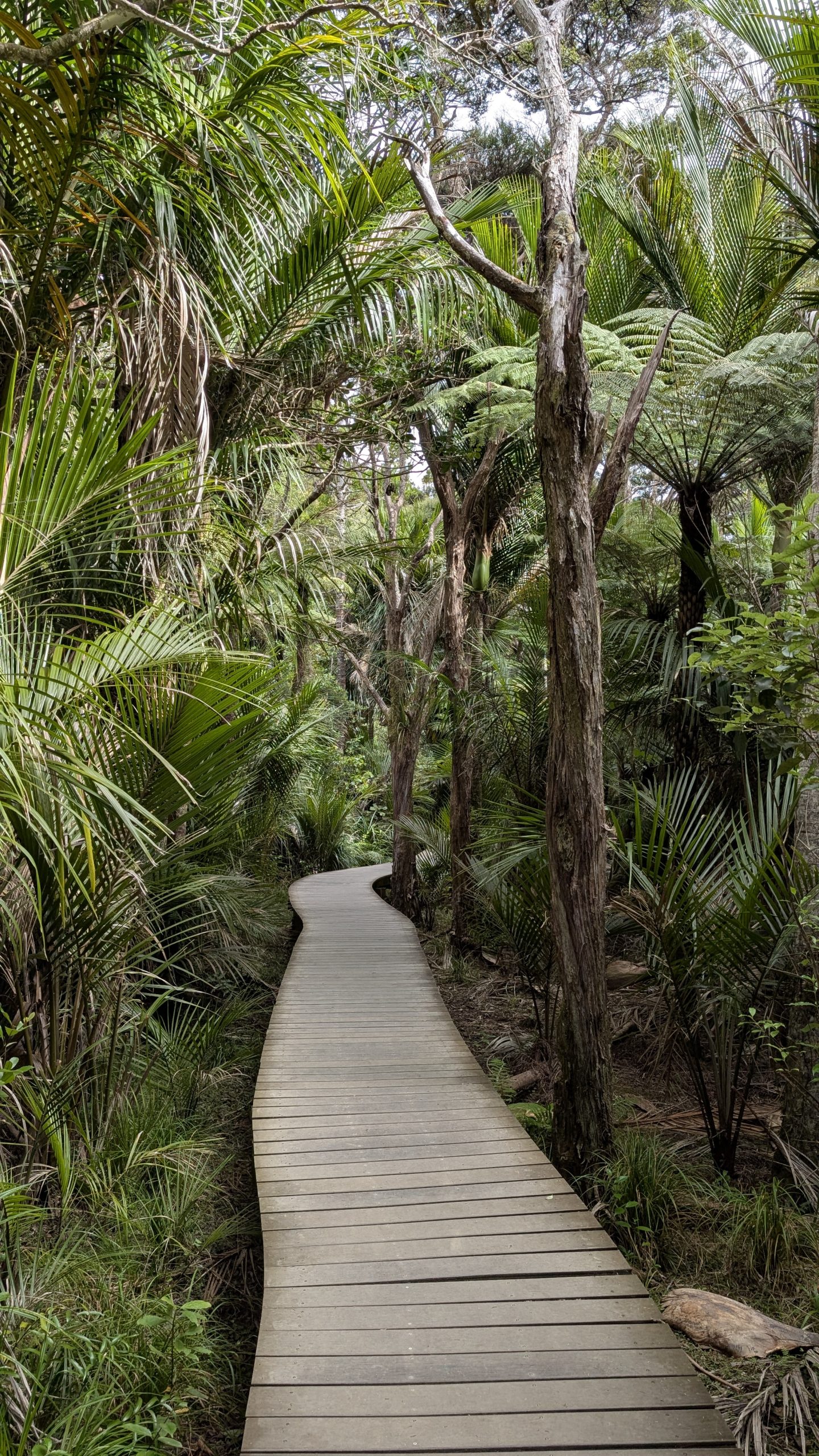
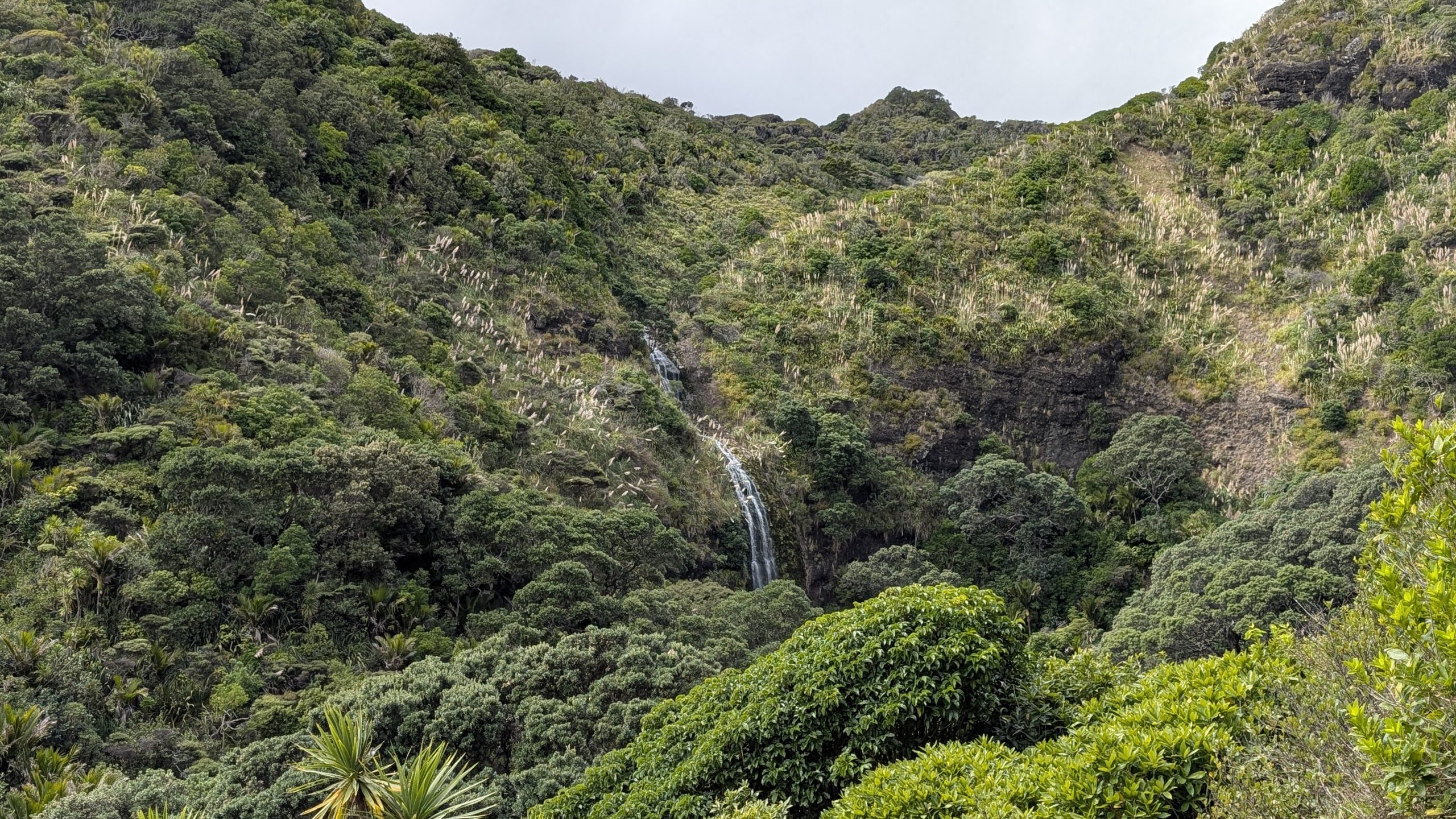
Then we drove to the trailhead to Kitekite Falls. It was a fairly easy 2.8 km loop hike to the waterfall, going out on the Kitekite Track and returning via the Byers Walk. We passed through the cleaning station at the trail entrance to disinfect our boots to prevent the spread of kauri dieback.
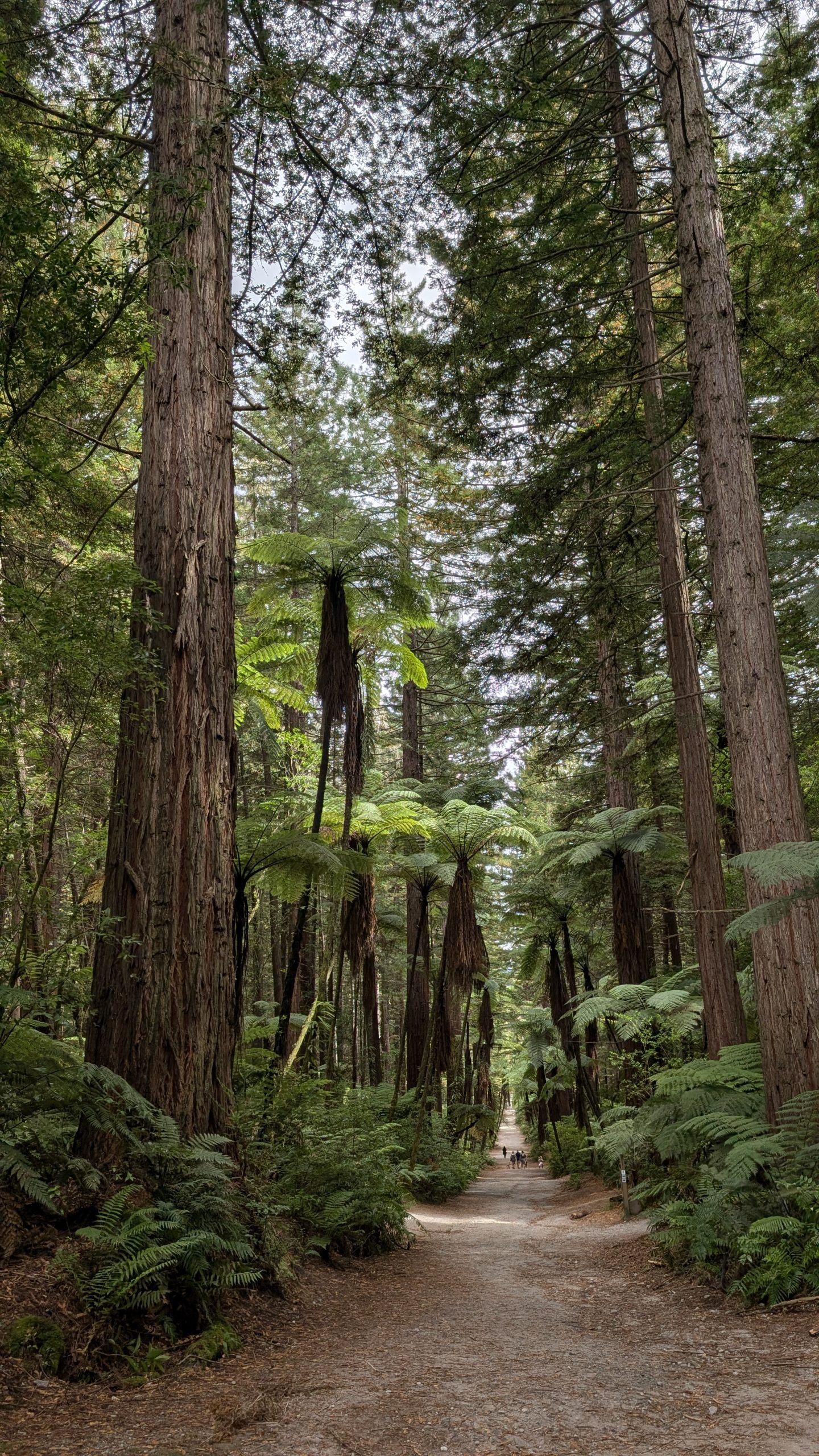
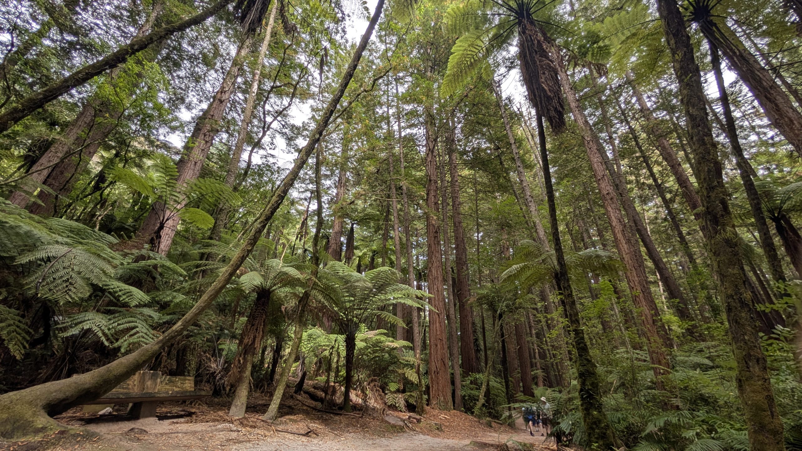
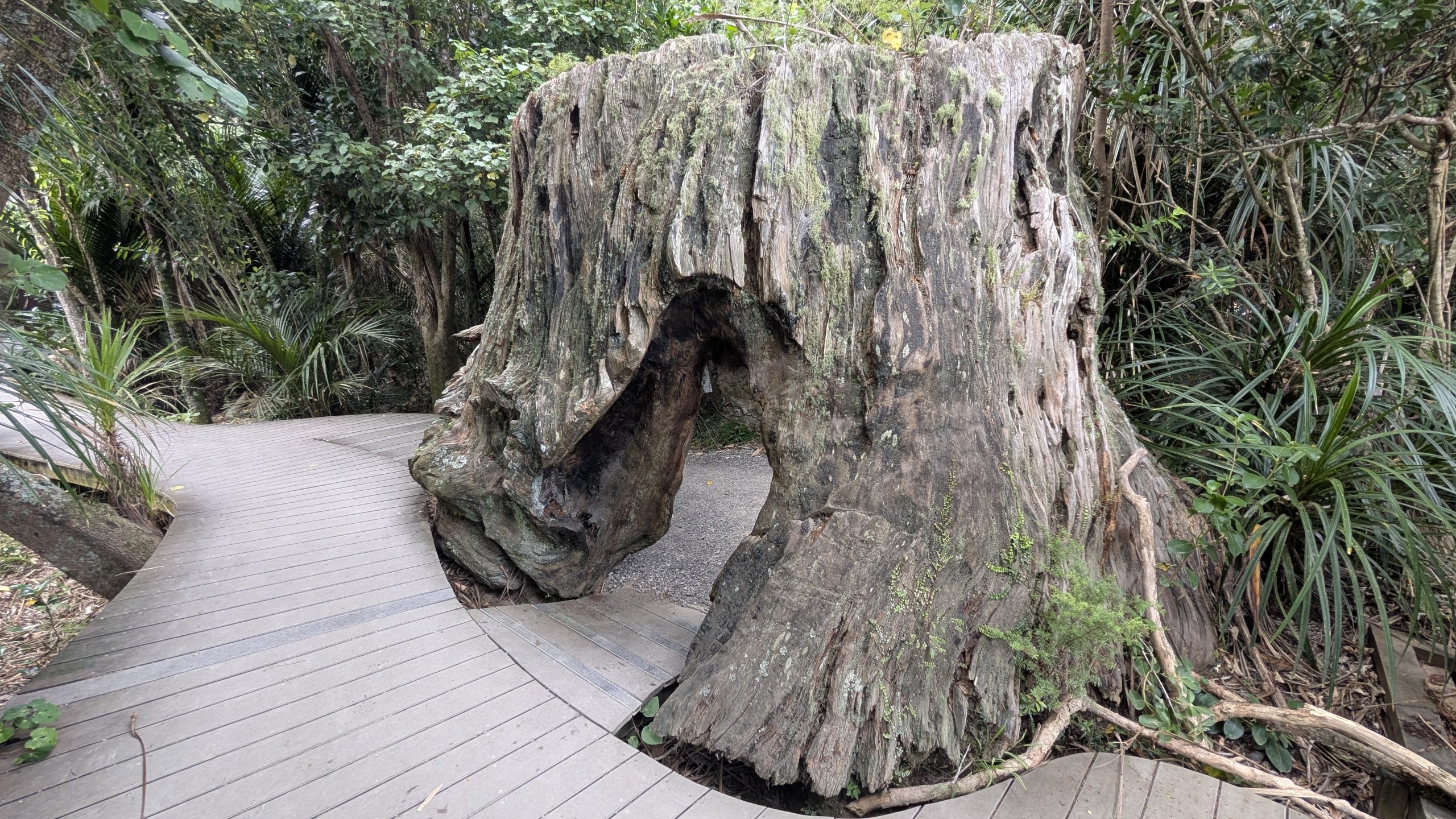
The first half of the trail was flat and easy, with boardwalks passing through a lush forest with tree ferns. The second half was a fairly steep climb to the waterfall.
Kitekite Falls was a nice 40-meter high, 3-tiered waterfall with a small pool at its base. We had a nice view, and in good weather, too. The trail was not crowded.
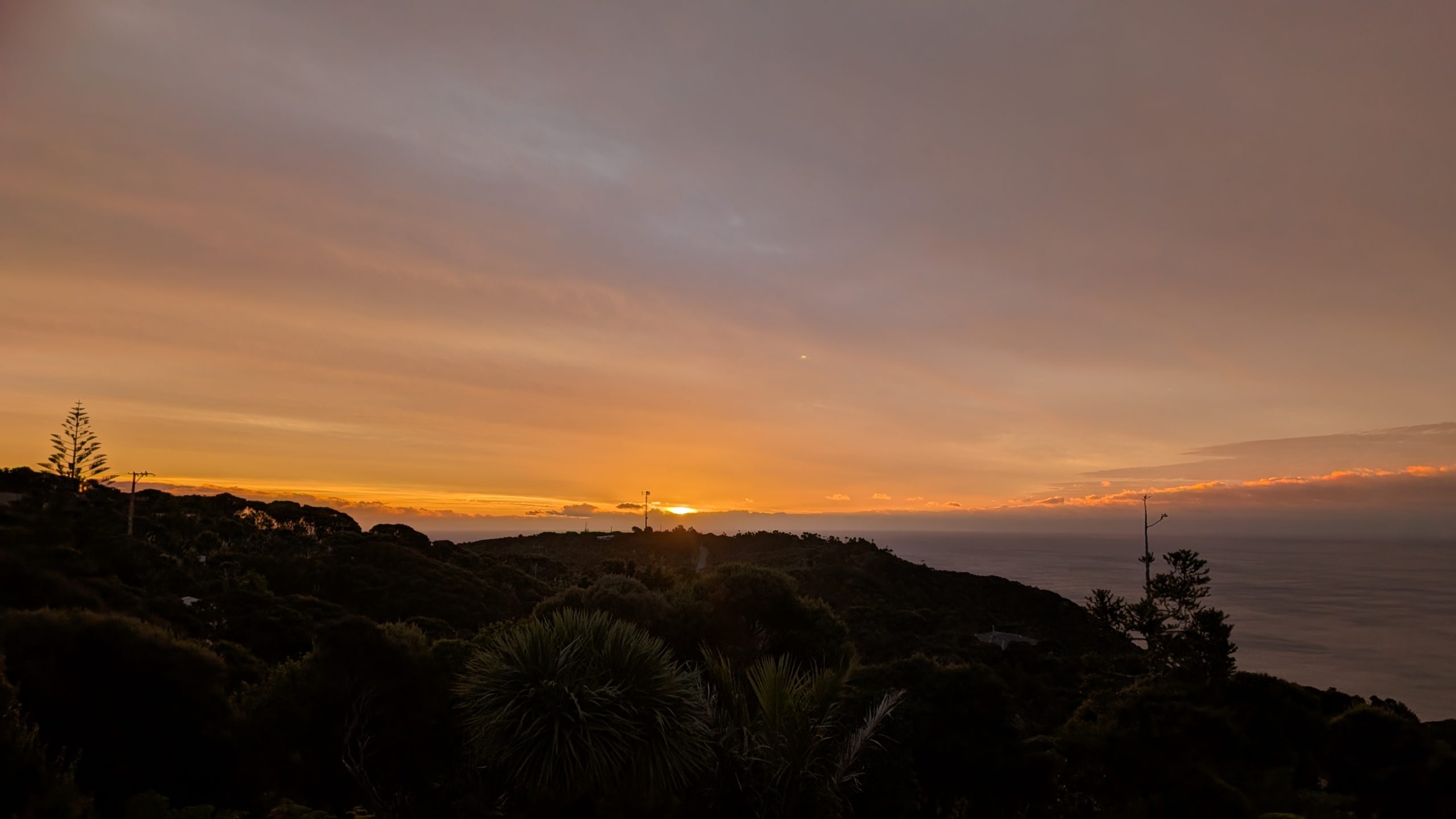
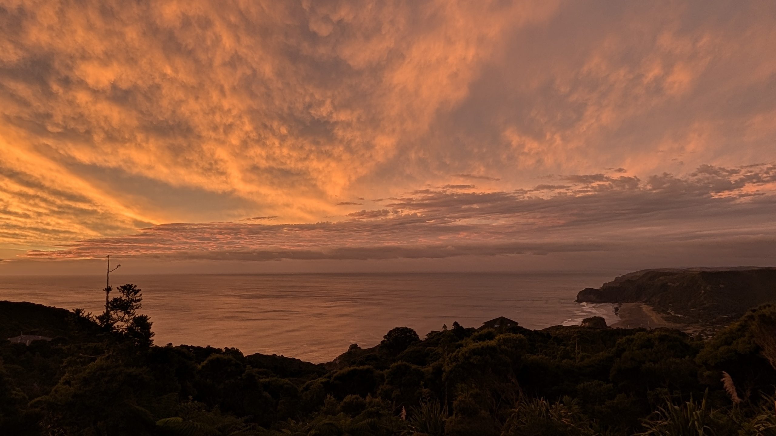
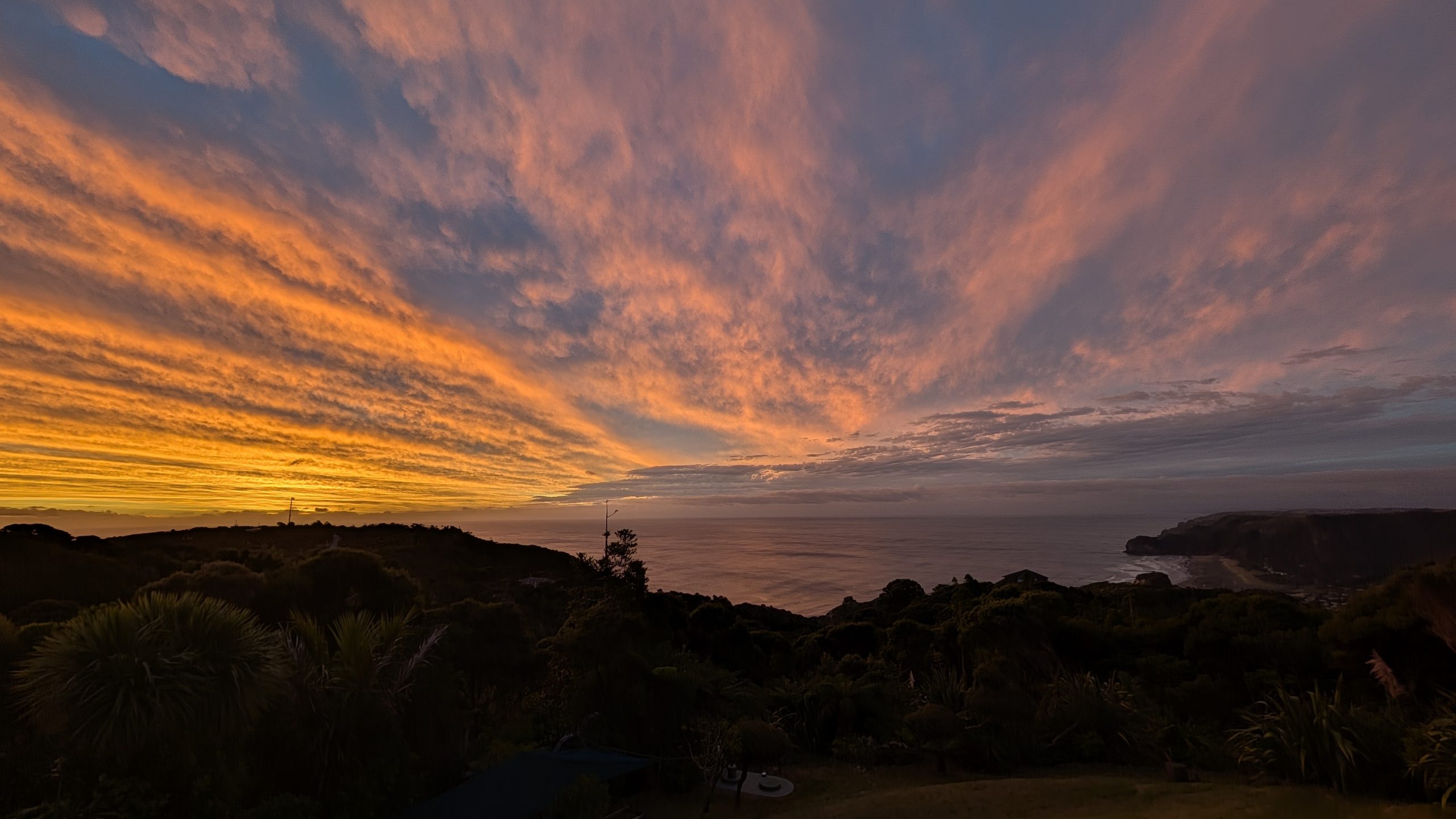
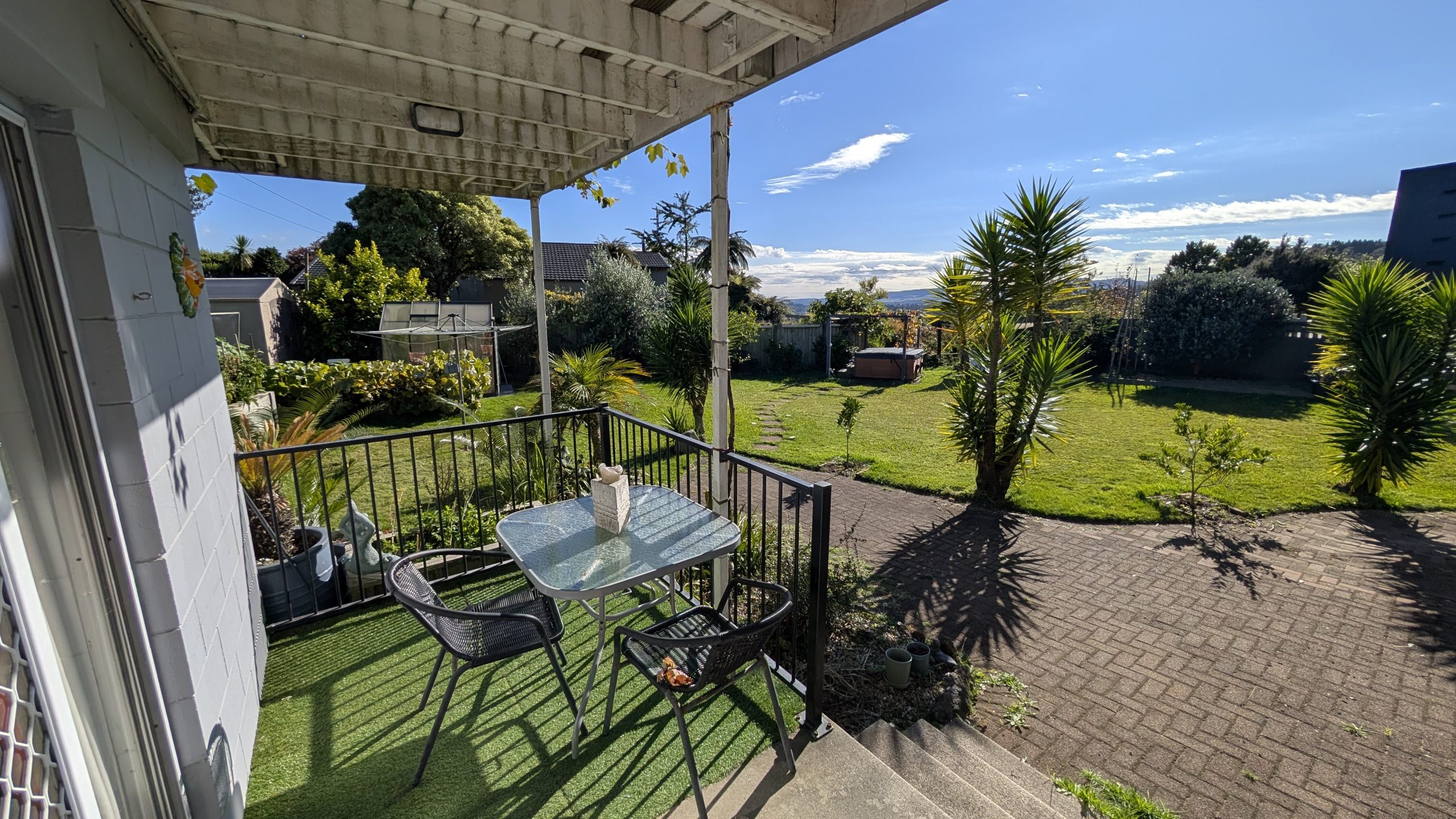
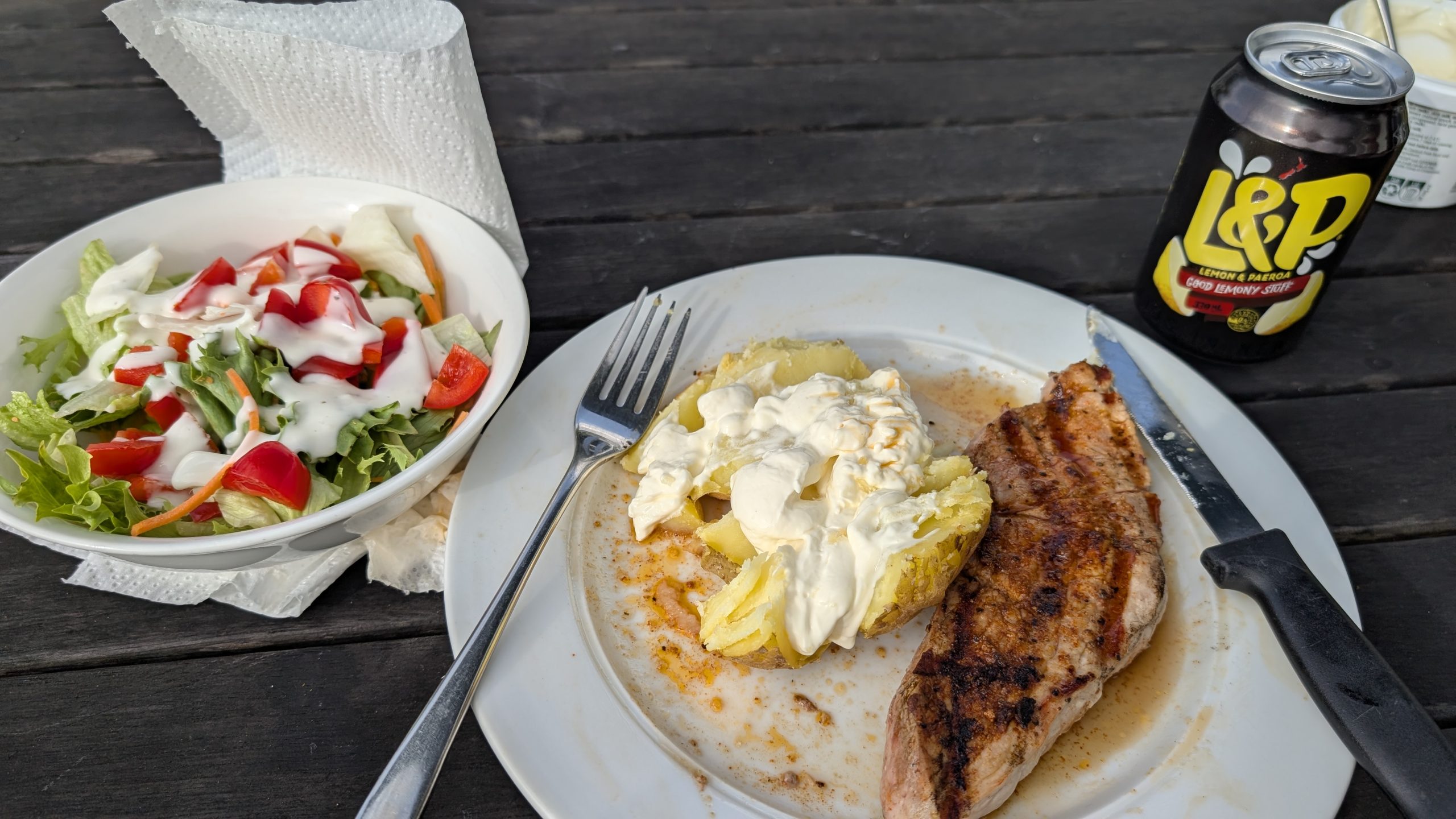
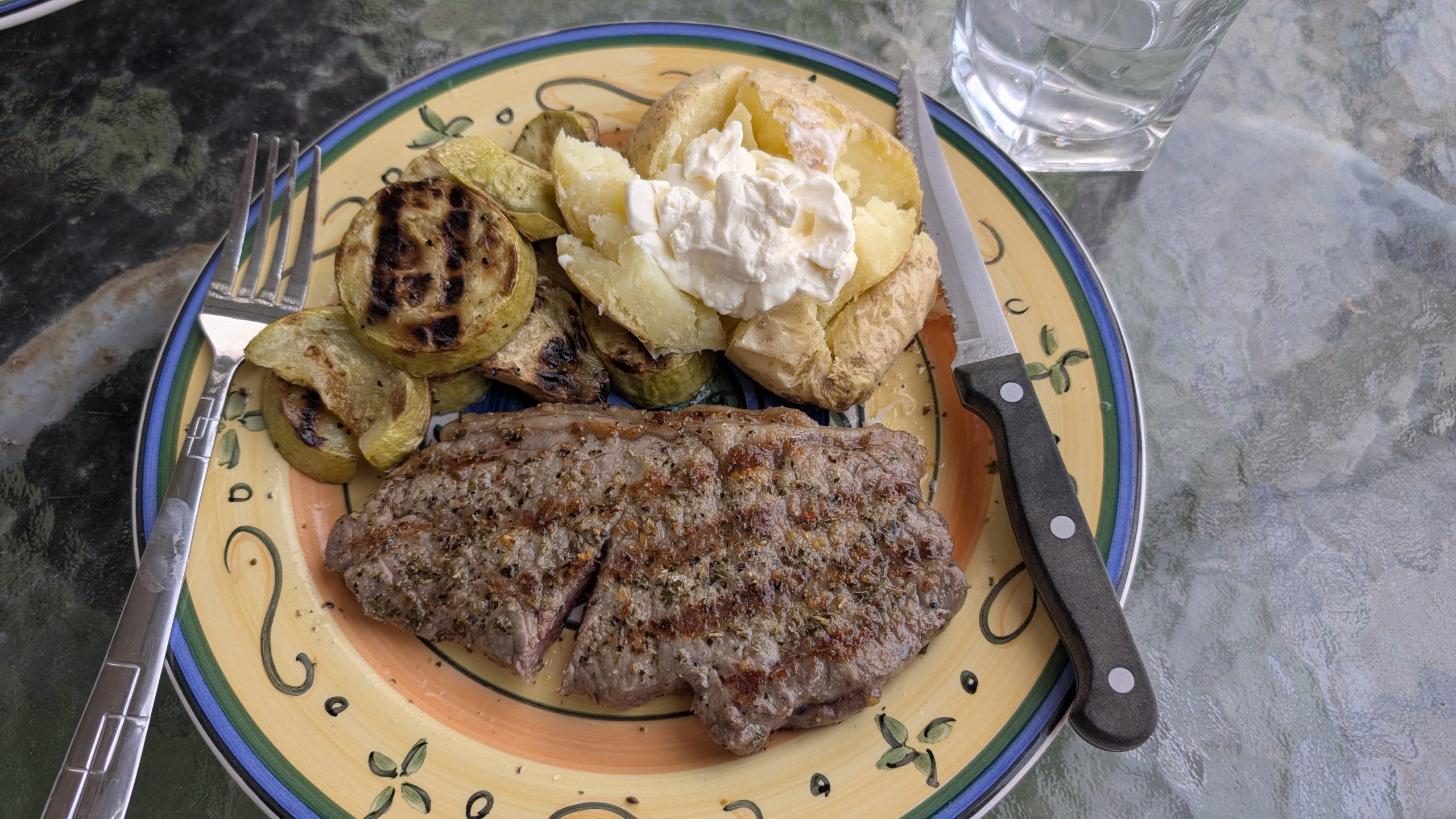
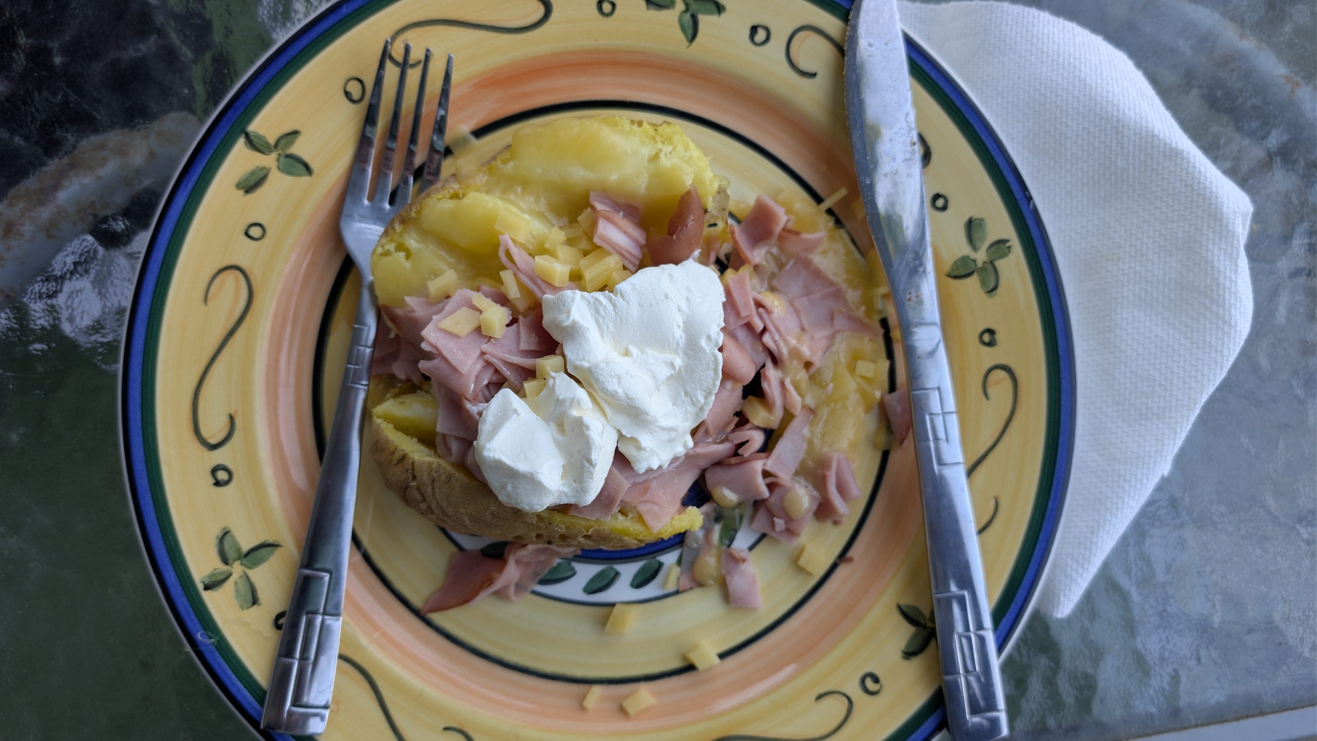
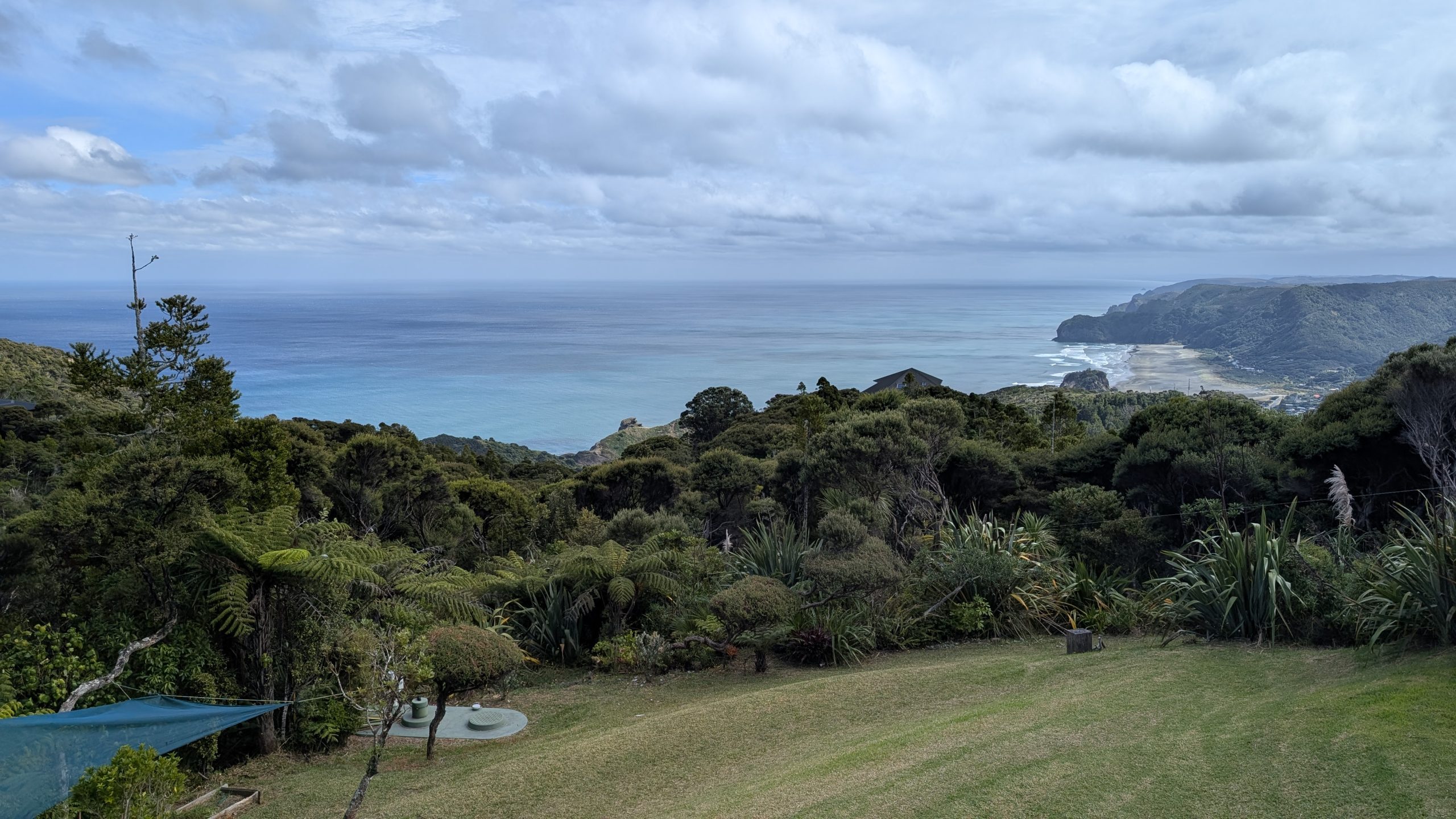
After the hike, we returned to the cottage to finish packing and have lunch. The weather continued to be nice, and we enjoyed one last view from the deck.
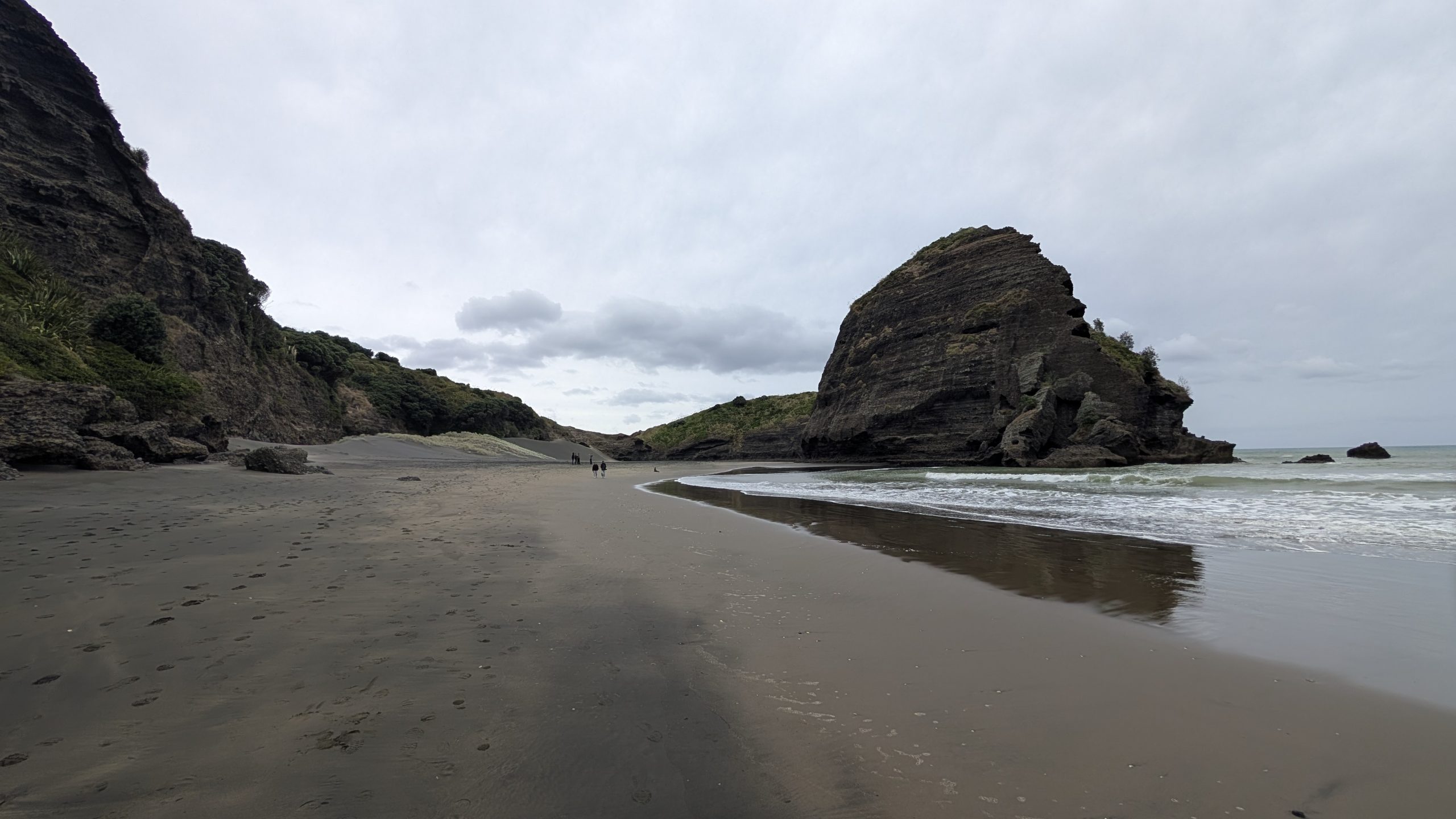
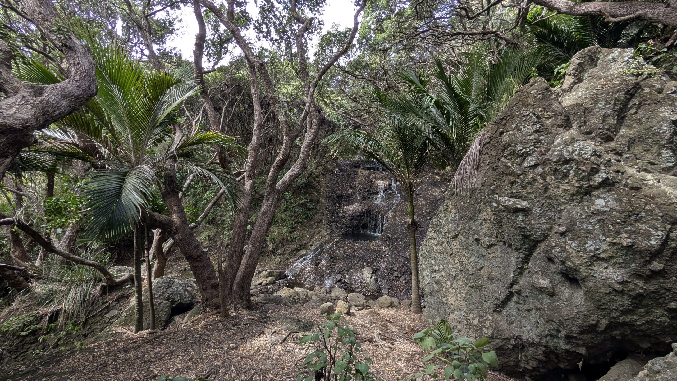
We checked out of the cottage in early afternoon and drove 10 minutes down the road to the car park for Karekare Falls and the beach. It was a 10-minute walk up the road and then a short trail to the 30-meter high Karekare Falls. At the waterfall were several people swimming at the base and enjoying the view.
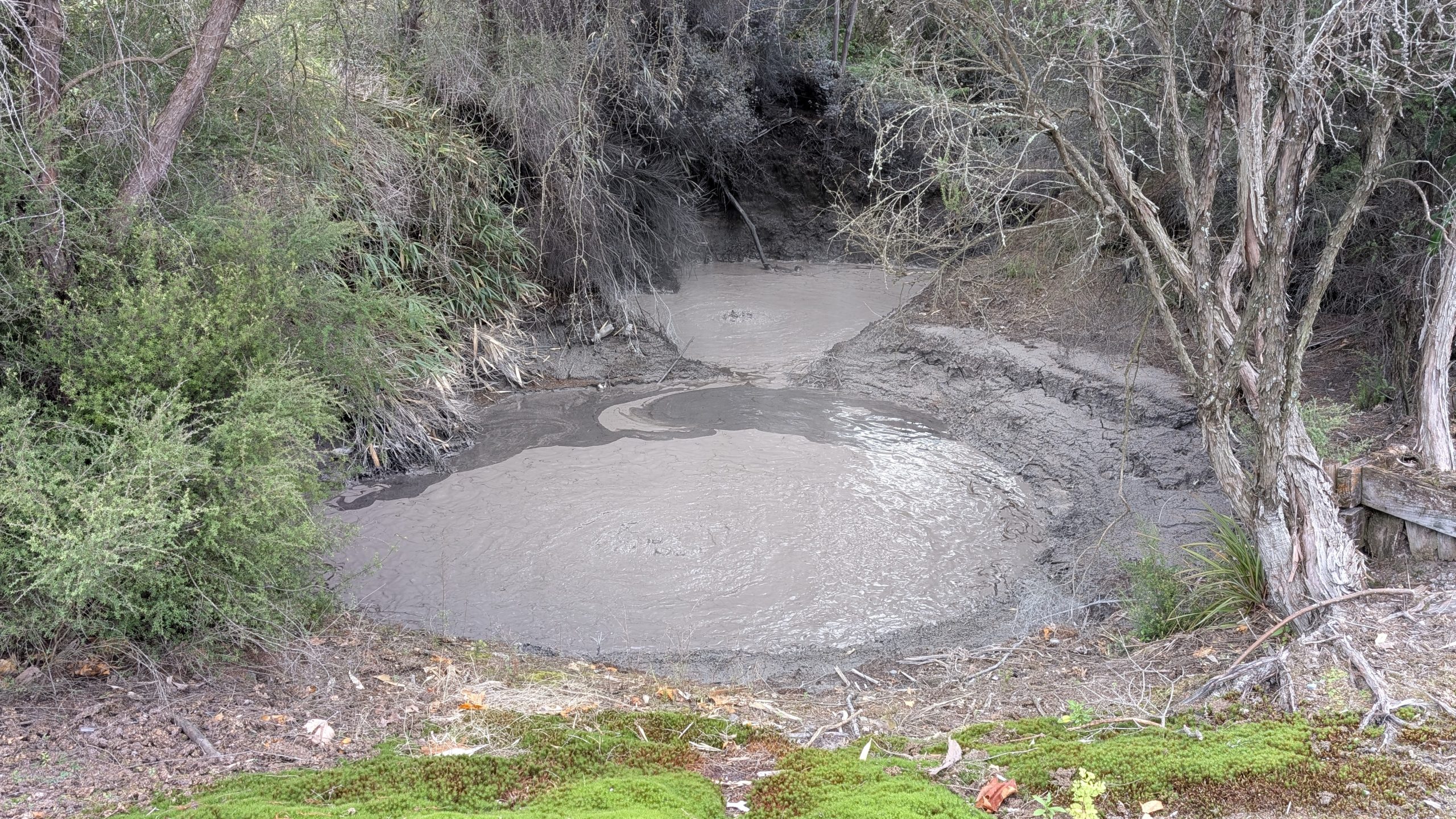
On the return trip from the falls, I stopped to take a photo of the small Opal Pool Stream Cascade at the side of the trail, and another photo of Karekare Falls from the road.
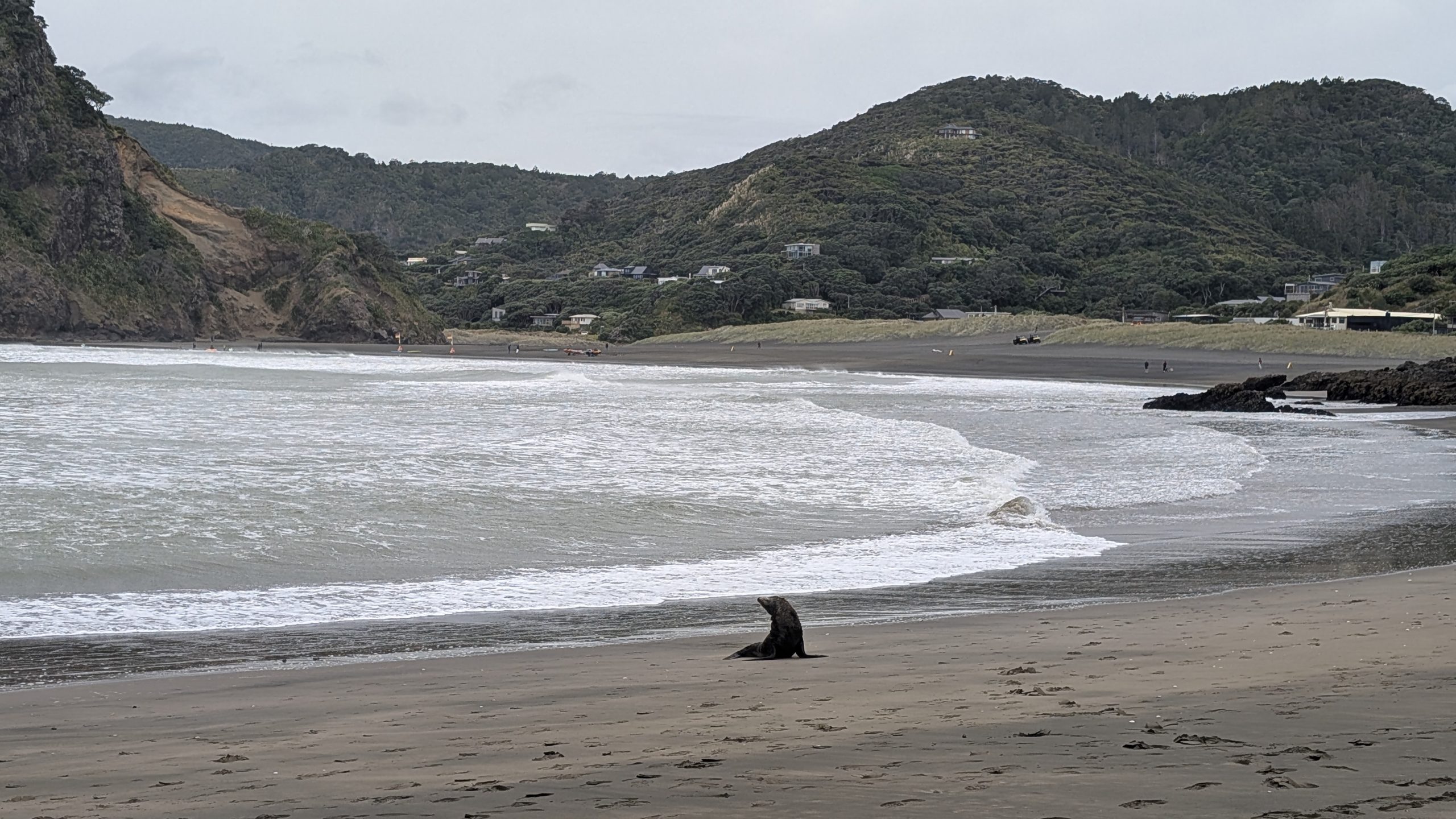
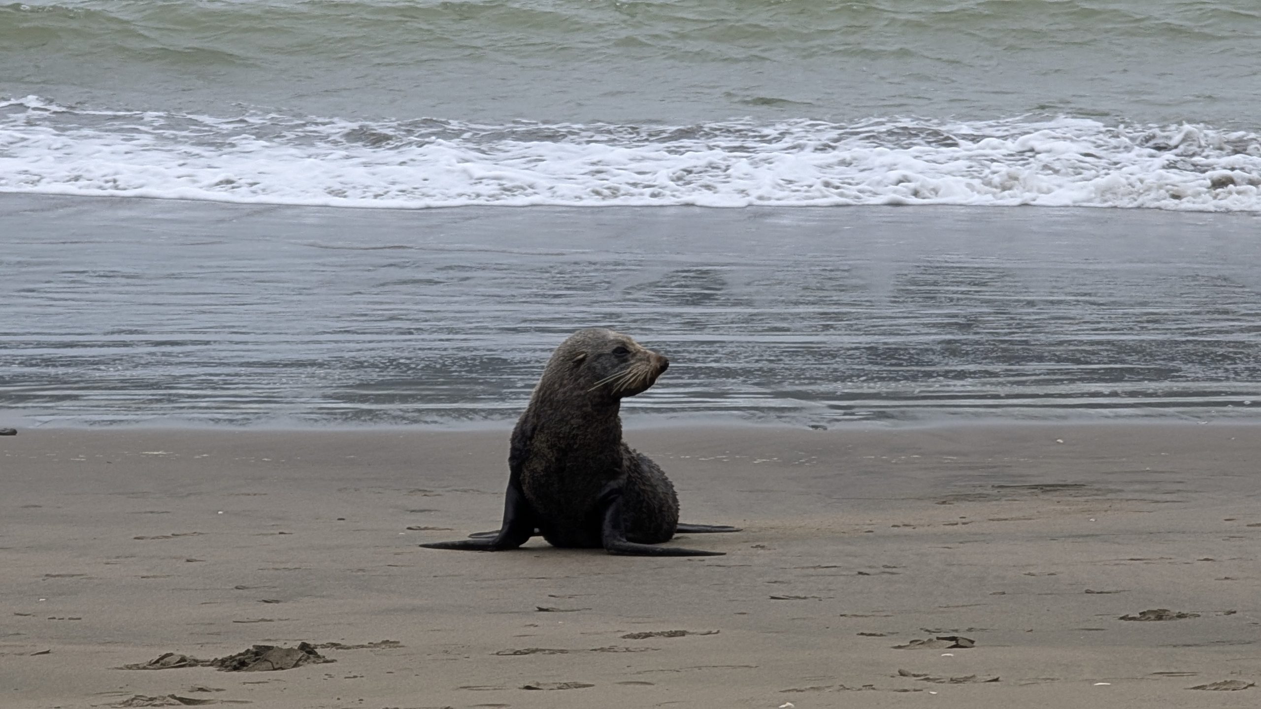
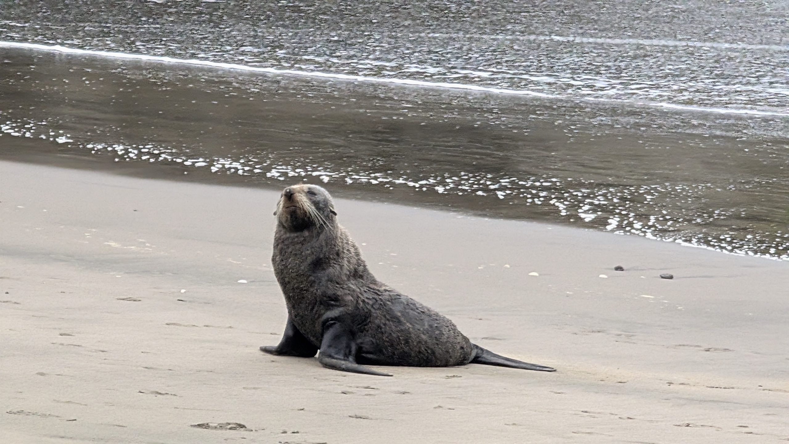
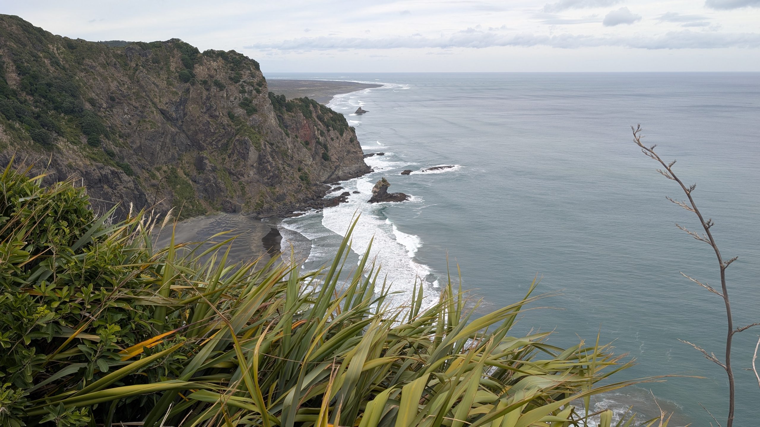
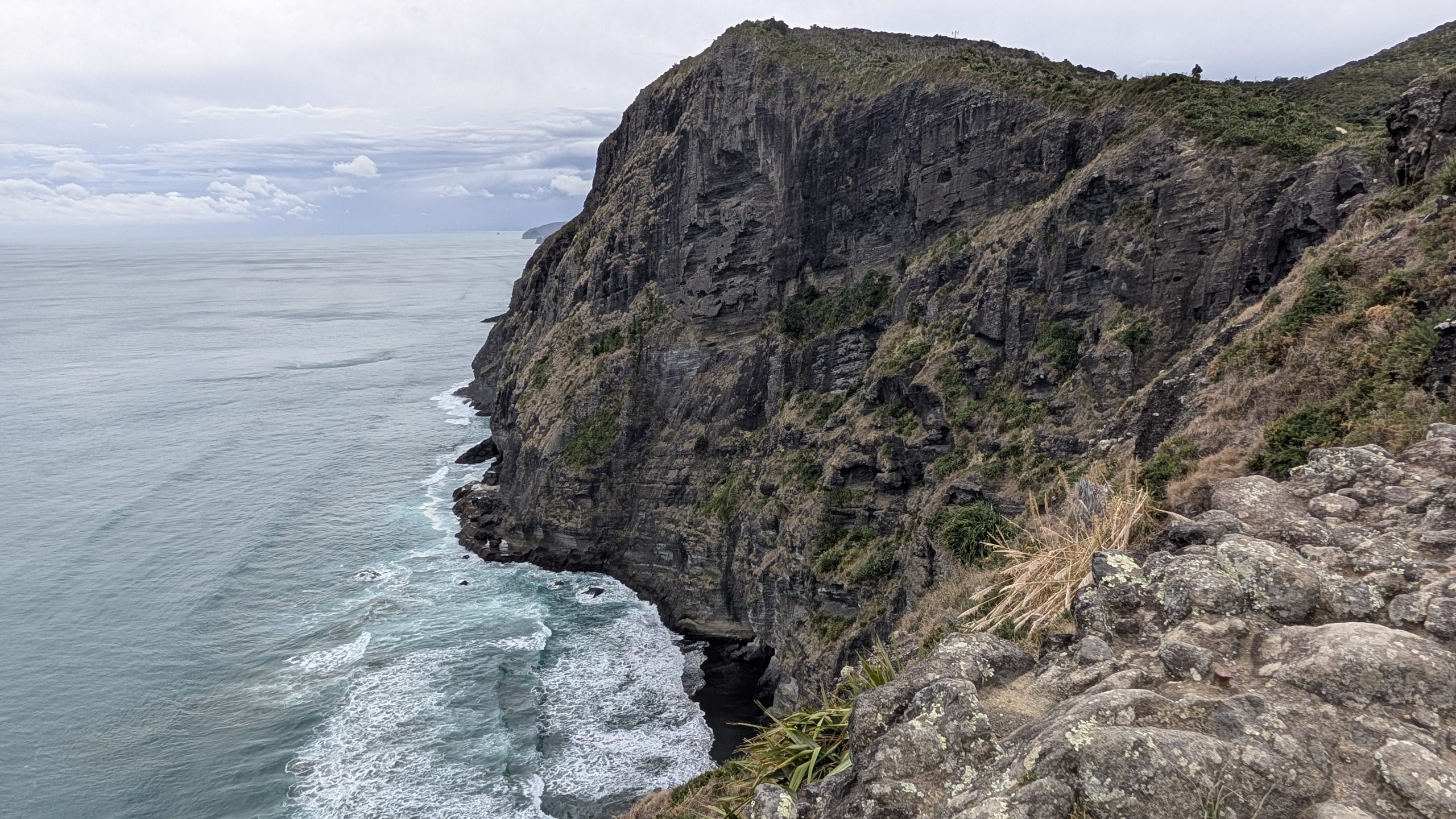
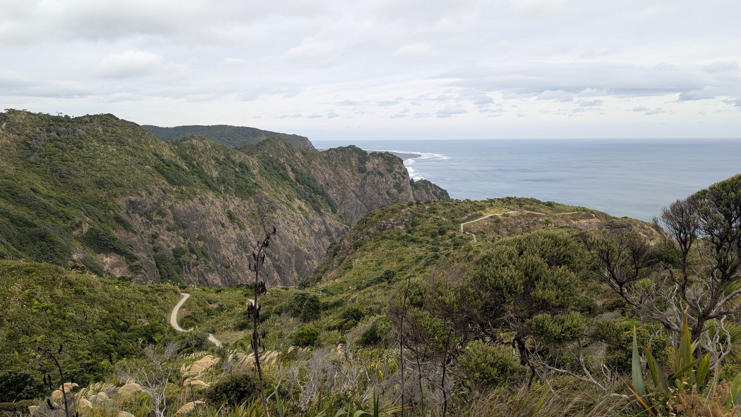
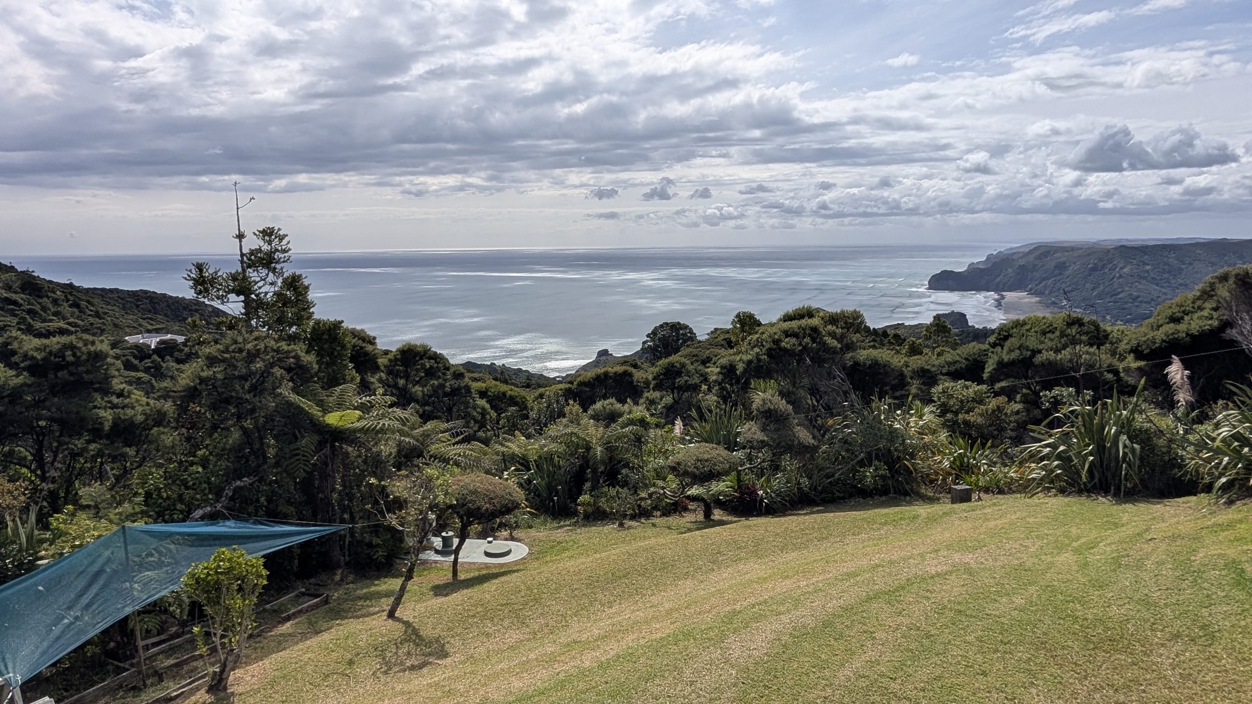
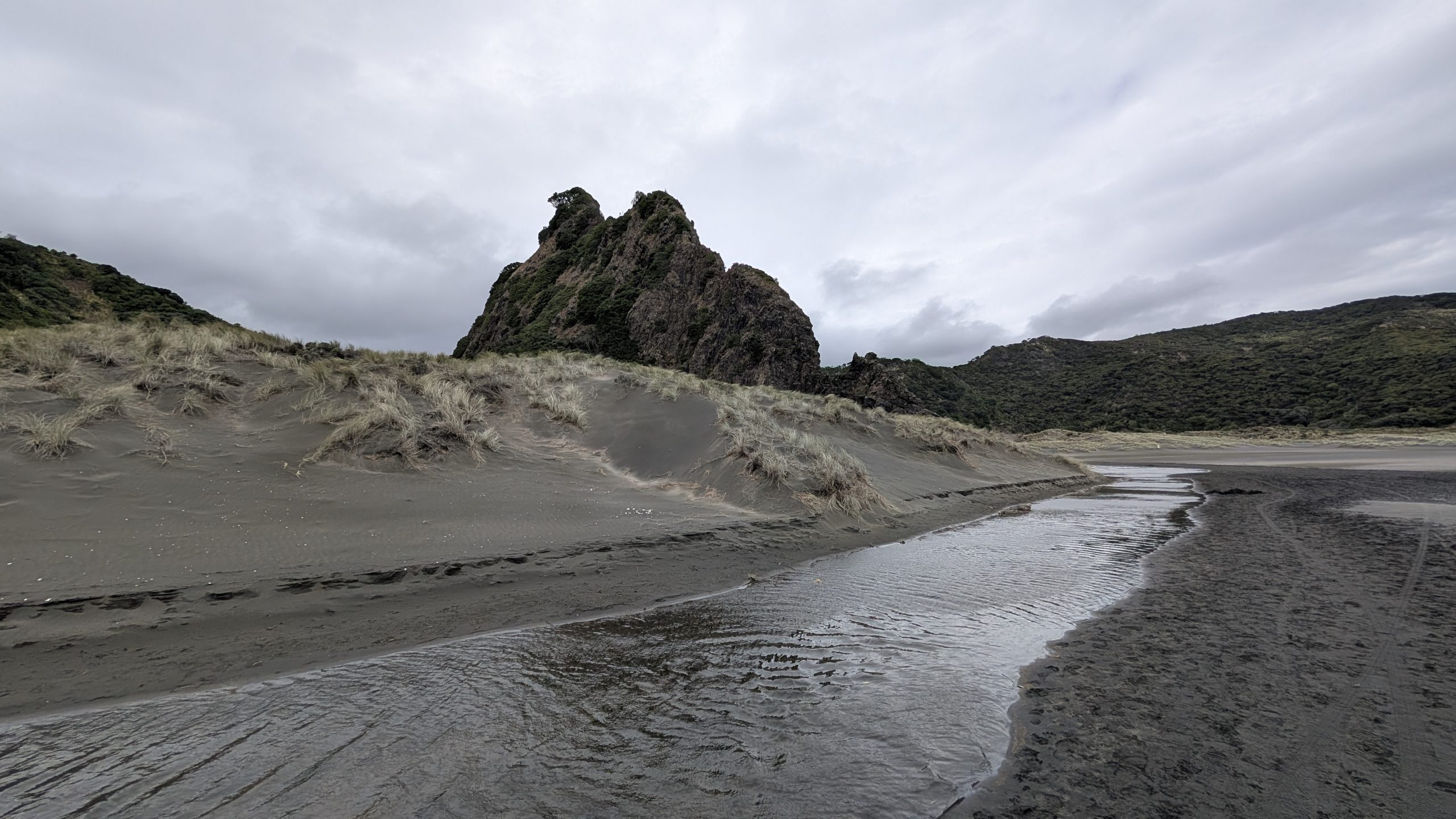
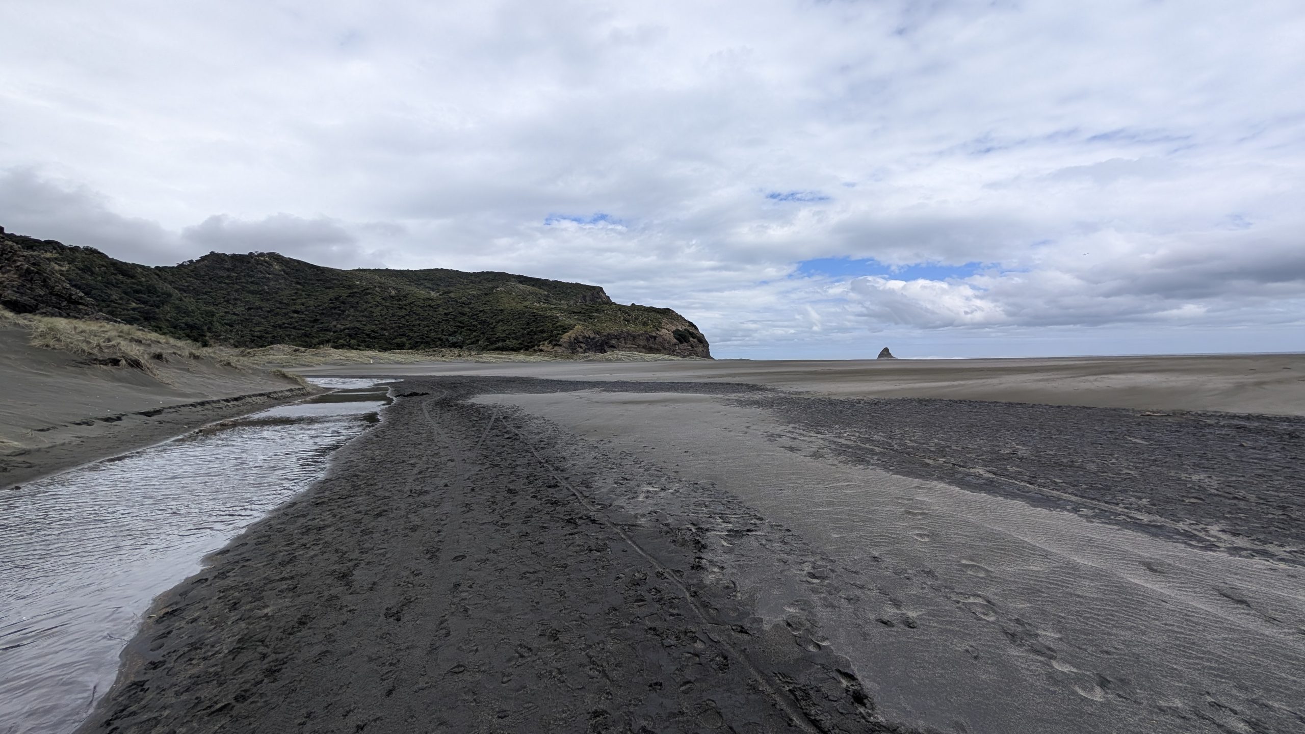
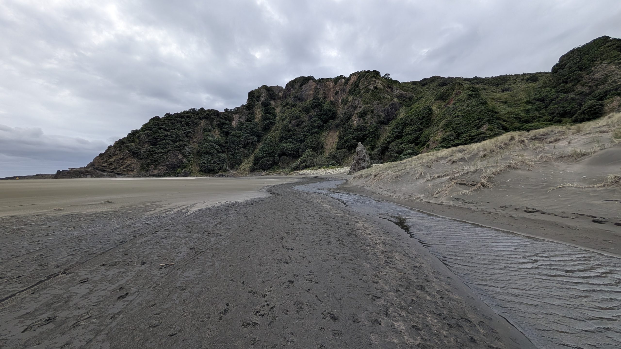
I wanted to make one more stop to see Karekare Beach before we left the area. It was another 10-minute walk from the car park. After we walked a few minutes, the trail opened up to the beach area, and it got increasingly windier as we got closer to the beach. At that point Heinrich decided to turn around: the wind was pretty uncomfortable. I continued on to the beach, but it really was not a pleasant hike. I got to the edge of the beach where I could see the Tasman Sea in the distance, but the wind was kicking up the sand and blasting it everywhere, so I did not continue on to the ocean. This was actually one hike I wished I had never bothered to take. I was not surprised that I was the only person on the beach. It was lonely and desolate.
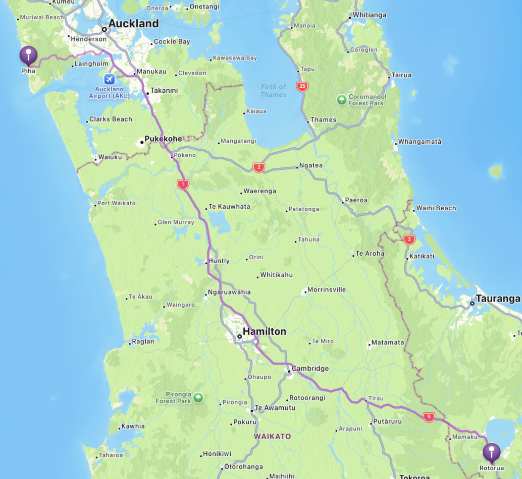
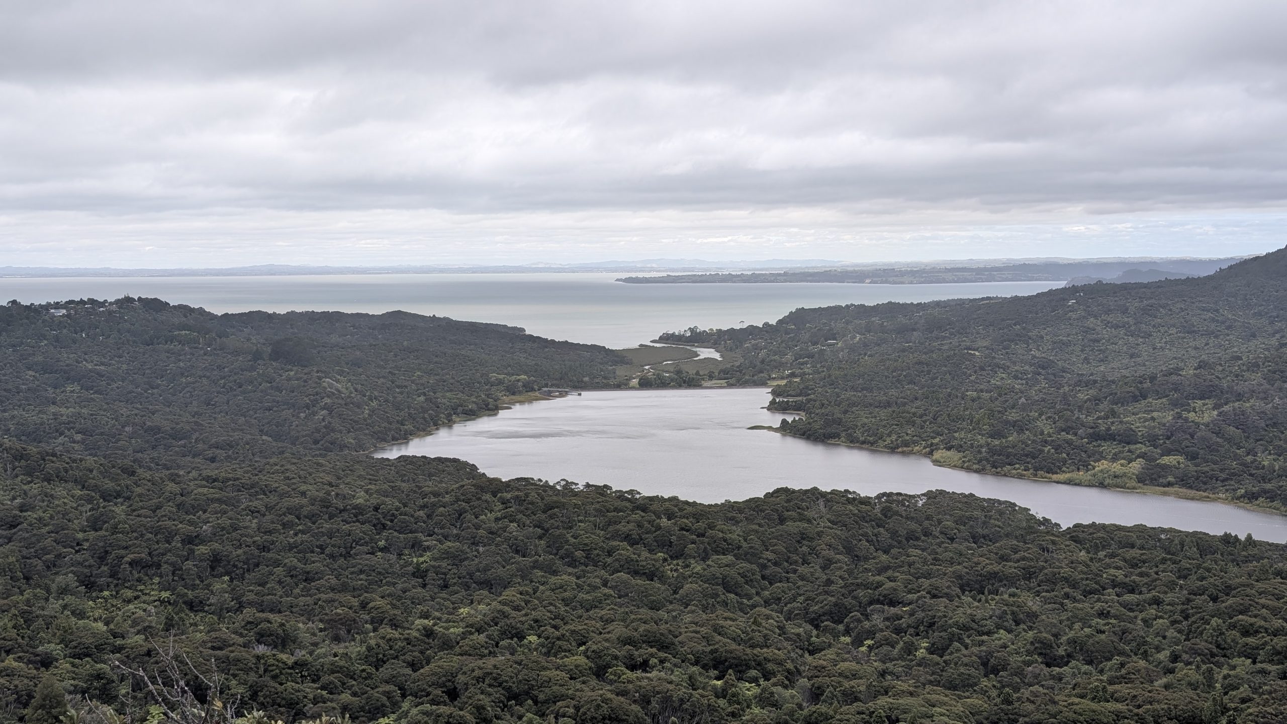
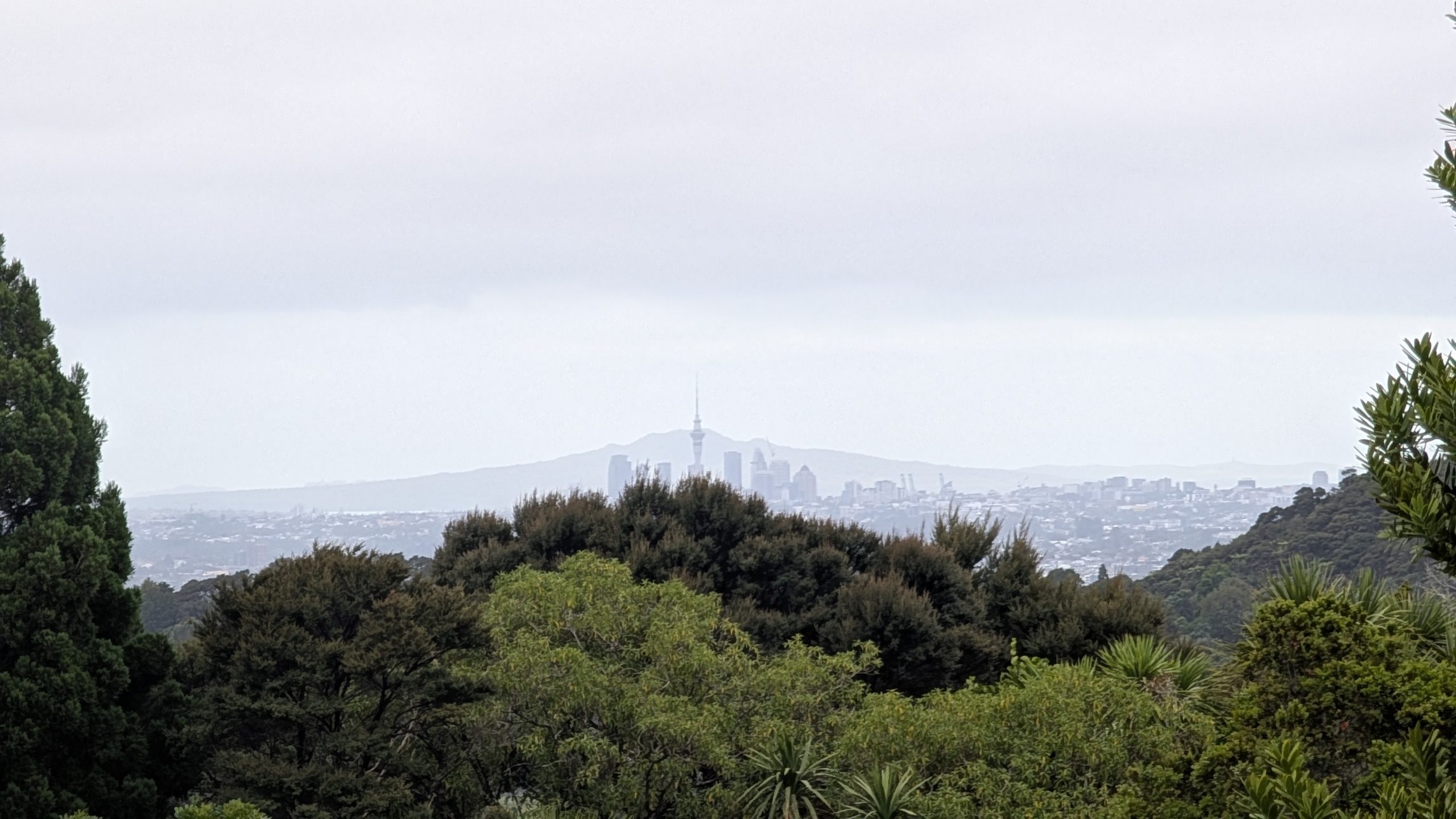
On the drive back to Auckland, we stopped to visit the Arataki Visitor Centre in the Waitakere Ranges Regional Park. We picked up some brochures of the area inside the visitor centre. Then we stopped at lookouts to the Manukou Harbour and downtown Auckland just outside the entrance. The weather had deteriorated as we got closer to Auckland, and it was now mostly cloudy, windy, and cold. There was a nature trail at the visitor centre that we could have explored, but we were running out of time and were done dealing with the weather.
We drove through the outskirts of Auckland to the vicinity of the airport and stopped at a Pak'nSave supermarket to use our remaining New Zealand cash on a few more bars of Whittaker's Chocolate. The road traffic was heavy, so it was not a fun drive. The supermarket parking lot was crowded, especially after we were done shopping.
We were going to use a coupon to make our last gas fill-up at the Pak'nSave gas station that was just a few feet away from where we had parked the car, but there was a very long line to get in. Heinrich said he did not want to deal with the line, so I searched on my phone for another gas station. We found a Mobile gas station that was about a 10-minute drive away. It had no way to pay at the pump, so he had to go inside.
Finally we navigated through more crowded roads to drive back to the Apex Car Rentals building to drop off the rental car. Then we had trouble finding someone to return the car key. We were finally taken care of after about a 15-minute wait, just as the next shuttle bus was arriving to take us to the airport.
At the airport terminal we had trouble finding the American Airlines counter to check in for our flight to Dallas. Once we passed that hurdle, we got through security fairly quickly. We had enough time before our flight to use our Priority Pass to access the lounge, but when we got to the entrance, we were turned away because the lounge was full. So we went to our gate. There was no good place to sit, so we walked upstairs and found a fairly quiet place to spend time before boarding began.
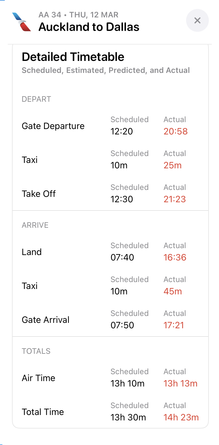
The boarding procedure consisted of taking a bus to go out to the plane. We were in group 6 for boarding, and we were the first in our group to board the bus. We stood at the back door entrance of the bus, thinking we could get off early, but we ended up being last since they didn't open the back door when we arrived. After we got on the plane, the compartments above our seats were already filled, but we managed to squeeze our carry-on luggage into bins a few rows ahead of us. Boarding was extremely slow, and it delayed our flight even further. We finally left at about 9 PM, 45 minutes behind schedule.
We were in a row with just 2 seats at the back of the plane, with 3 seats in front of us. We had used this same setup on previous trips to and from New Zealand, and it had worked out well because we had more room at the extra seat in front of us. This plane's configuration was a bit different because the extra seat was near the window and not the aisle. My seat was directly behind the middle seat, so there was a big gap between my seat and the window, making it impossible for me to lean against the wall to try to sleep.
I used my noise-cancelling headphones which helped a lot with the background noise. But I just couldn't get comfortable to sleep. I finally gave up and watched a couple of movies. There were no lavatories at the back of the plane, just the crew galley. So we didn't have a lot of traffic going past us in the aisle, which was nice. We were served dinner, a snack, and then breakfast on the plane.
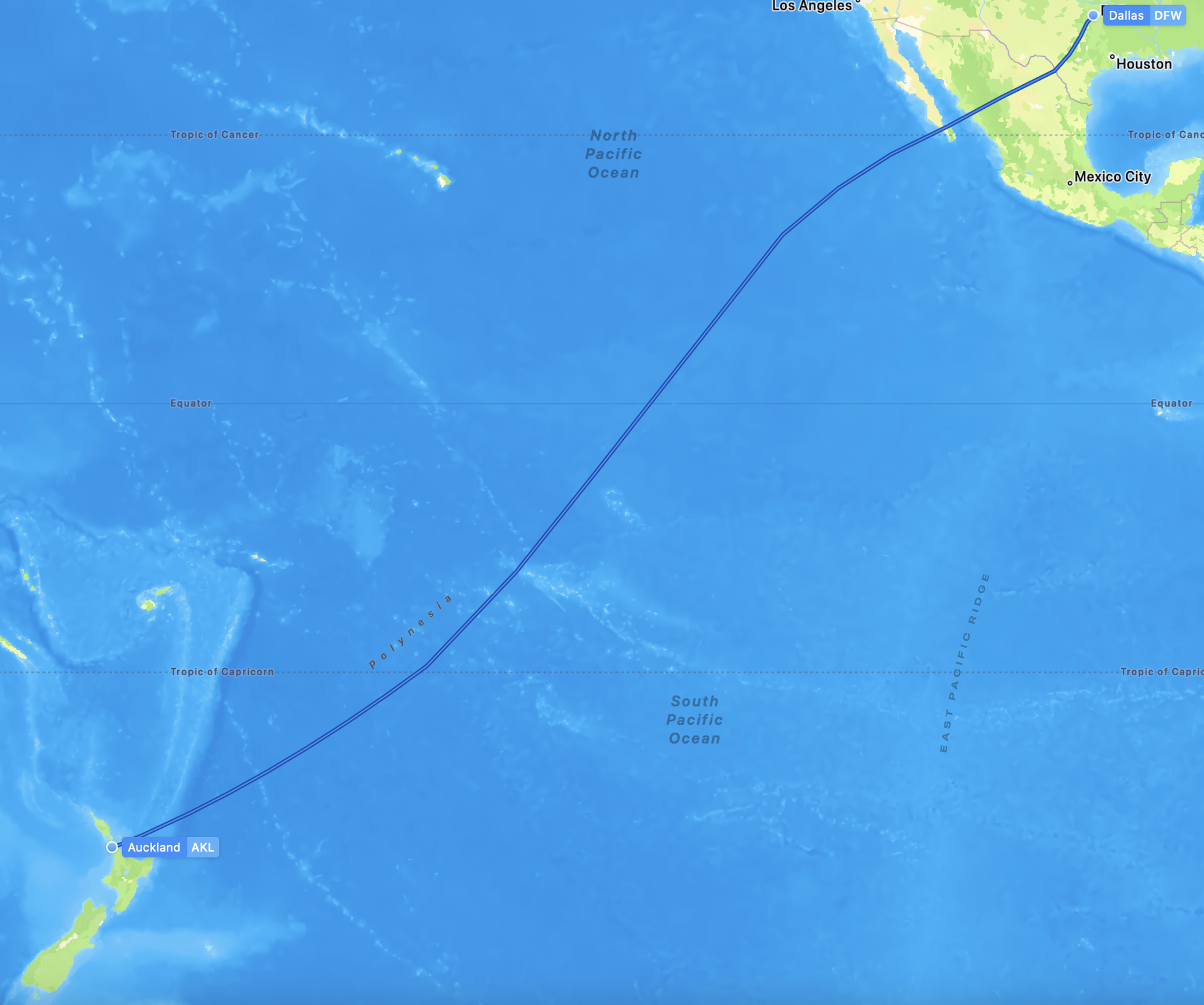
As we approached Baha California it started to get light outside, but we were not able to see anything due to the electronic window shades being darkened for the entire flight.
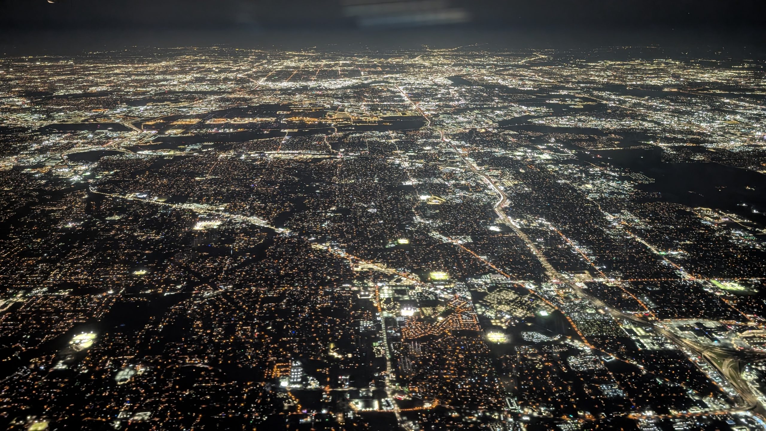
We finally landed in Dallas. Then the plane came to a stop on the taxi way. The pilot said there was no gate open for us to arrive. We sat on the taxi way for another 45 minutes before we finally arrived at a gate. Our total time on that plane, including the boarding and deplaning time, was about 15 and 1/2 hours. The chart below shows how delayed our flight was, from beginning to end.
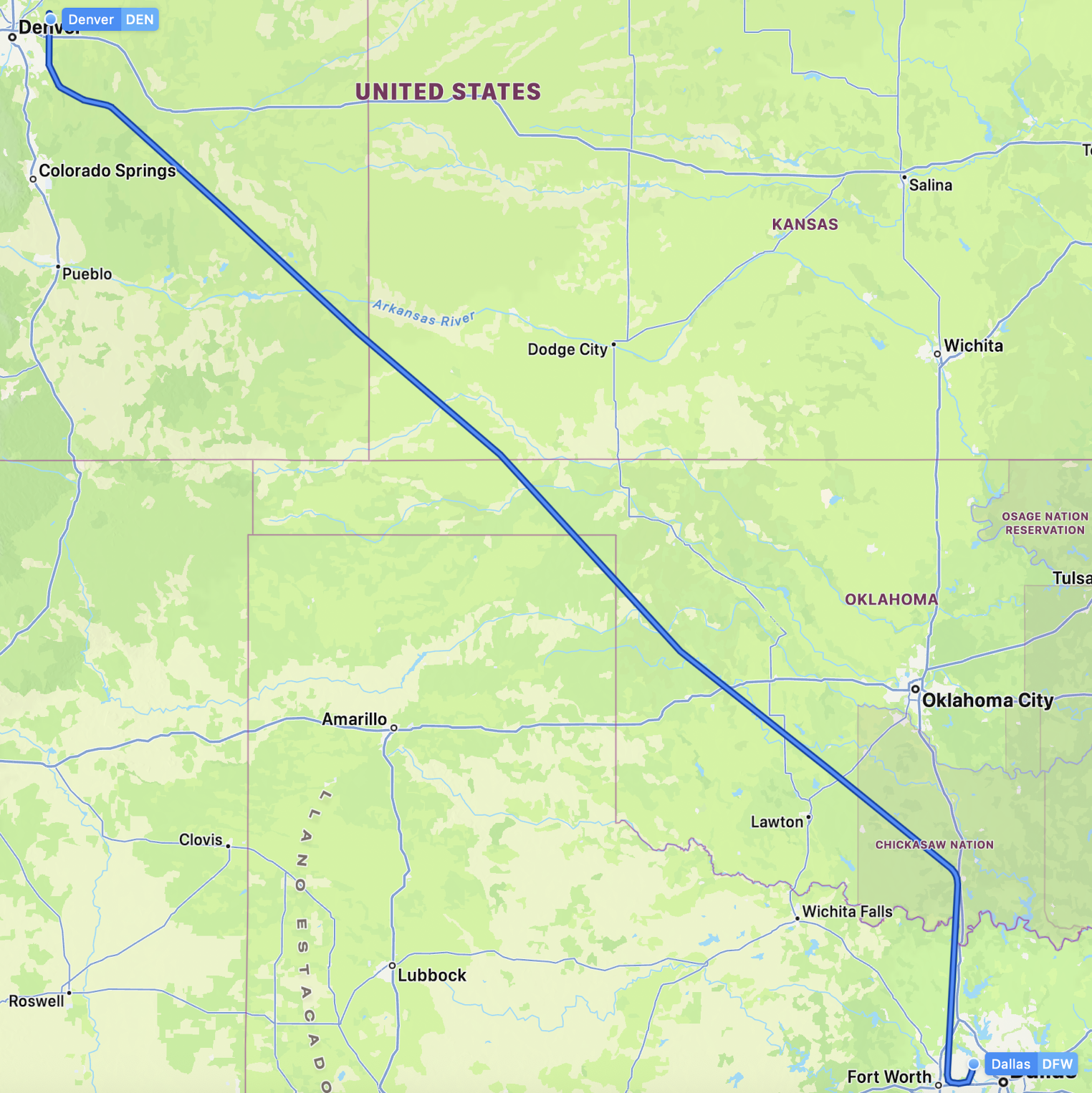
Our flight to Denver was also delayed by an hour due to very high winds in Denver. With all of the delays, our original 3-hour and 10-minute layover in Dallas got shortened to 2 and 1/2 hours. Fortunately going through customs ended up being fast. The global entry program, which had been closed by the government shutdown, reopened the day of our flight. The wait to go through customs was only about 10 minutes. We were sent through with no questions asked. We picked up our luggage, and nobody wanted to check it. There was a drop-off area for our luggage to be taken to the next flight to Denver. Once out of the customs area, we had to go through security again, which was quick with the TSA Precheck. The entire process took about 45 minutes.
Since we still had about an hour before boarding started for our flight, we were hoping to use the Priority Pass to make a visit to the lounge that was nearby. Once again the lounge was full, but this time we got put on a wait list. I asked the agent how long the wait would be, and she said, "not long." Not a very helpful answer, but we waited about 25 minutes and then we gave up. We had to take a train to another terminal for our flight to Denver, and we weren't sure how long that would take. Originally the flight was scheduled to leave from the same terminal as the lounge, just a few gates away, but the gate got reassigned. It took us about 15 minutes to take the train and walk to the gate.
Boarding was late in getting started, so we arrived in plenty of time. And even with the delayed boarding, we actually managed to leave at the rescheduled time. The flight to Denver was uneventful and arrived at about 9:20 PM.
My daughter Linda met us at the arrivals area and drove us home. We finally got home at 11 PM, and it was still March 12 because of crossing the International Date Line, making it a very, very long day with a lot of experienced frustrations.
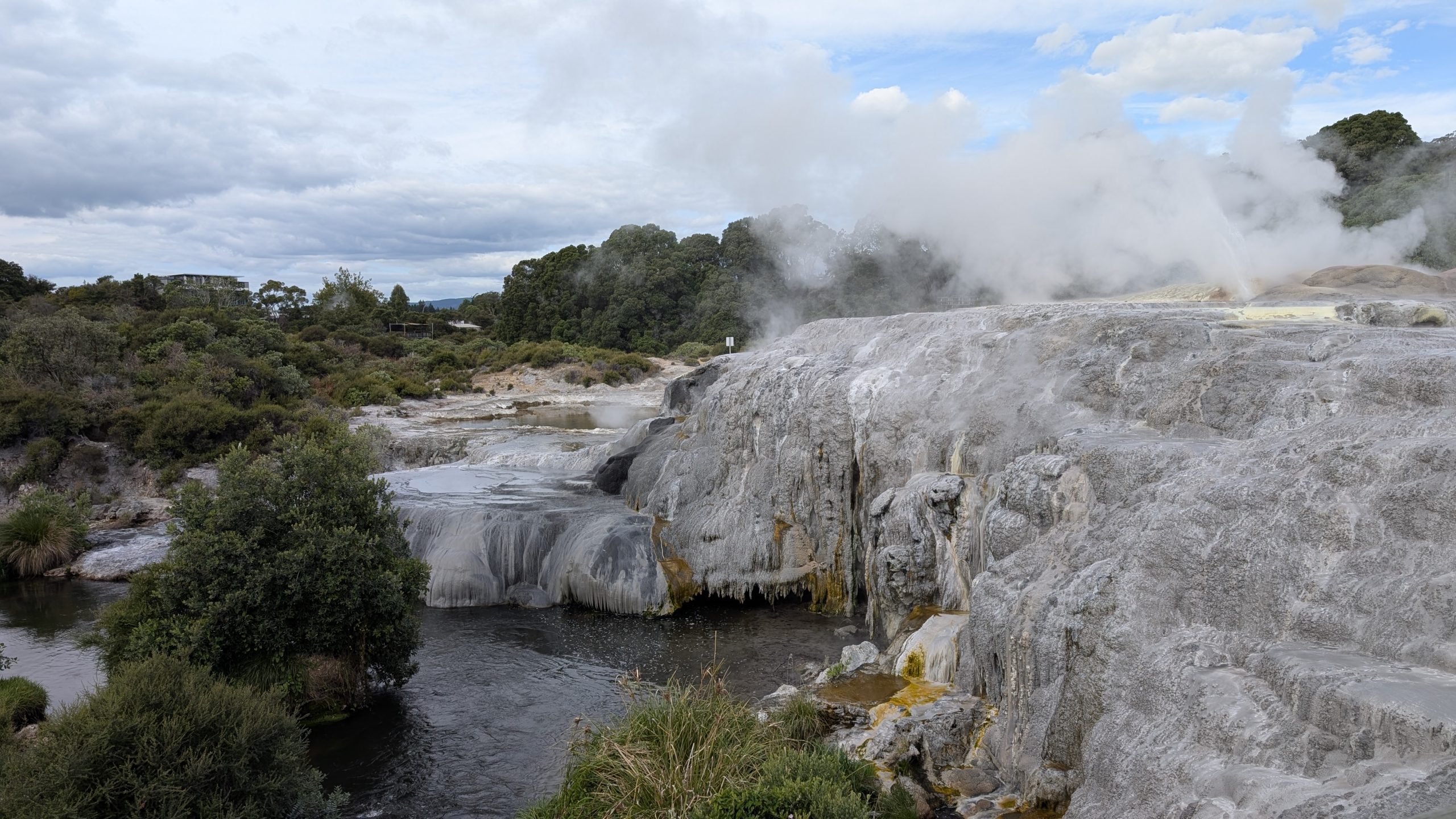
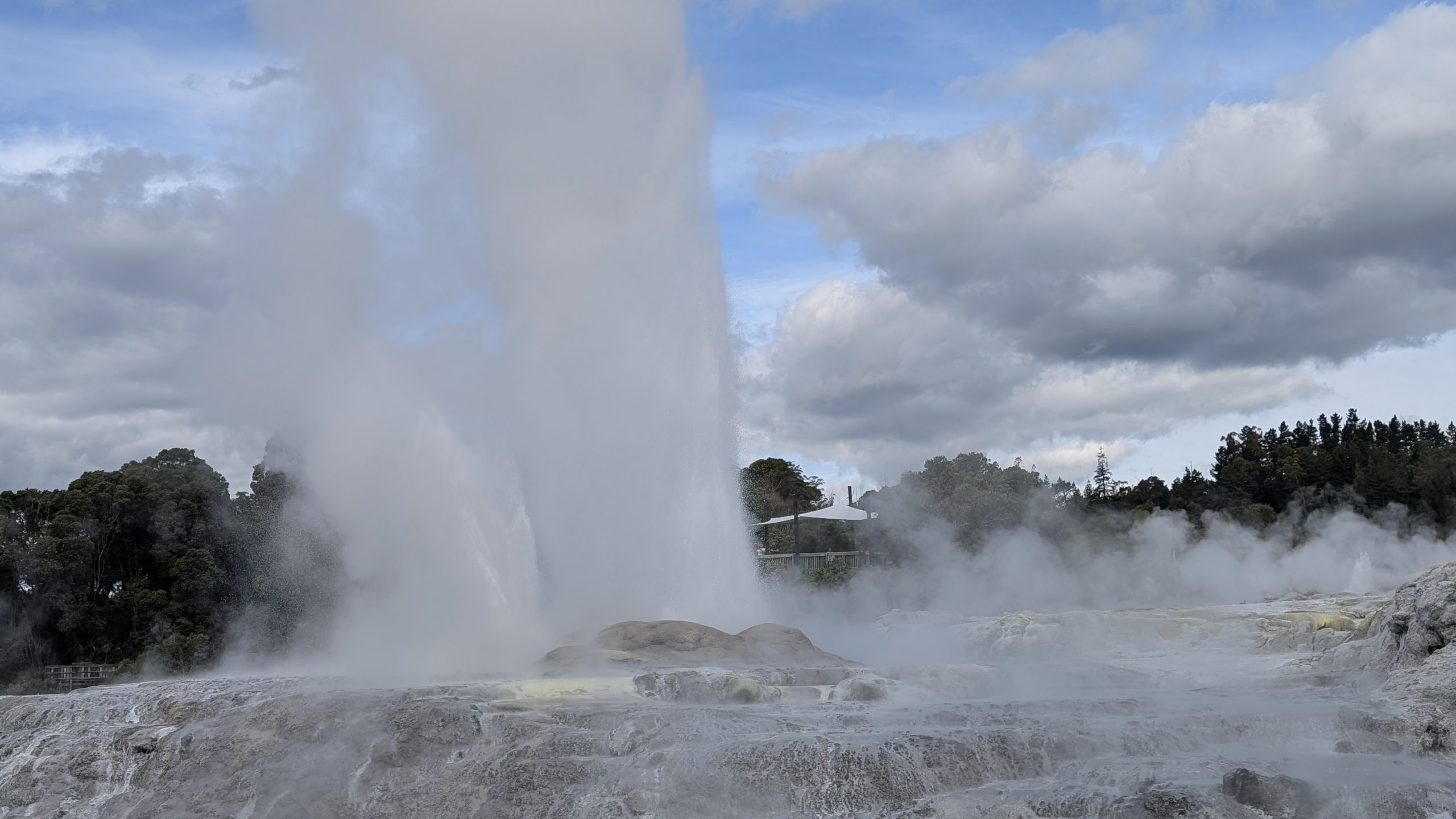
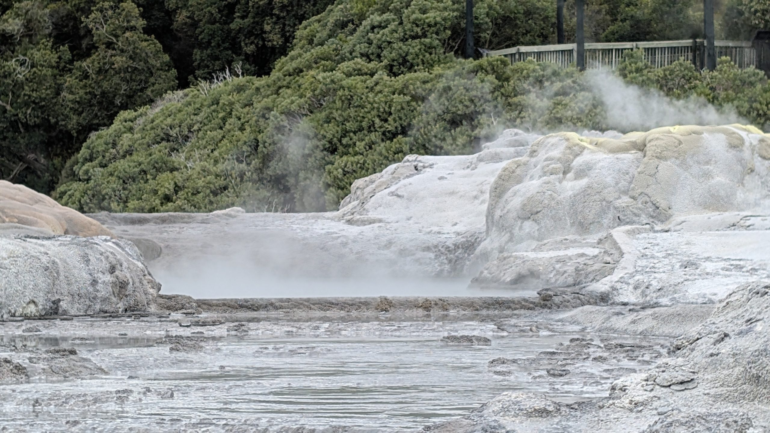
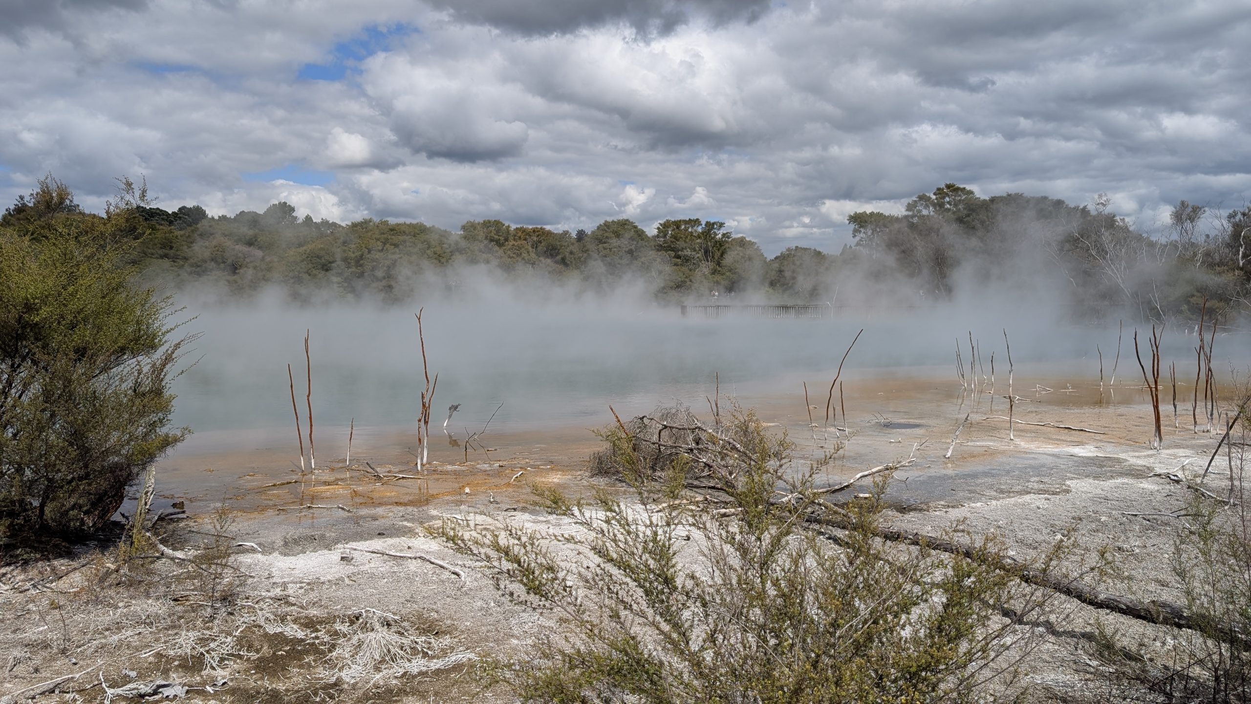
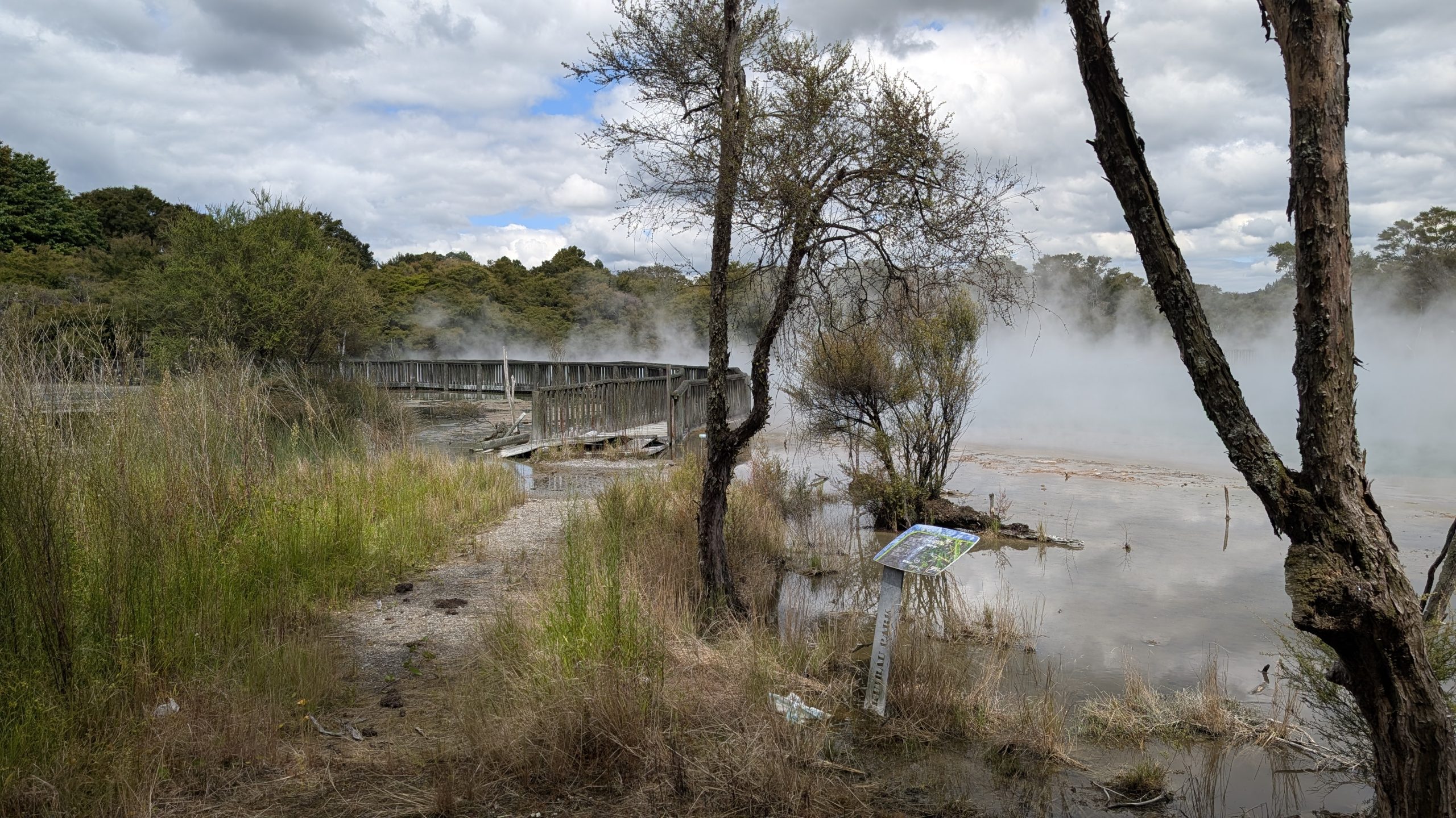
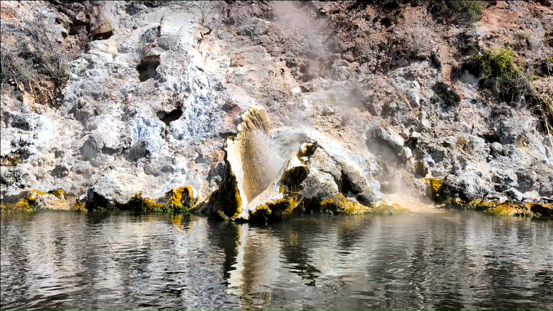
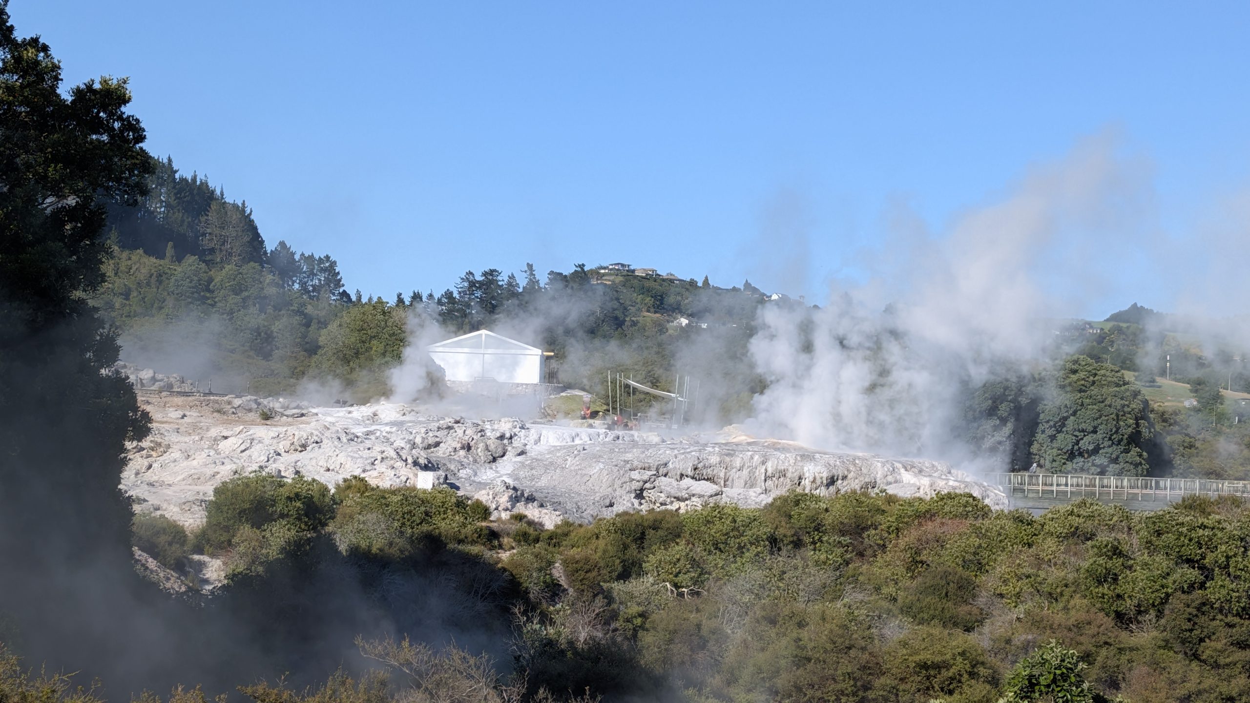
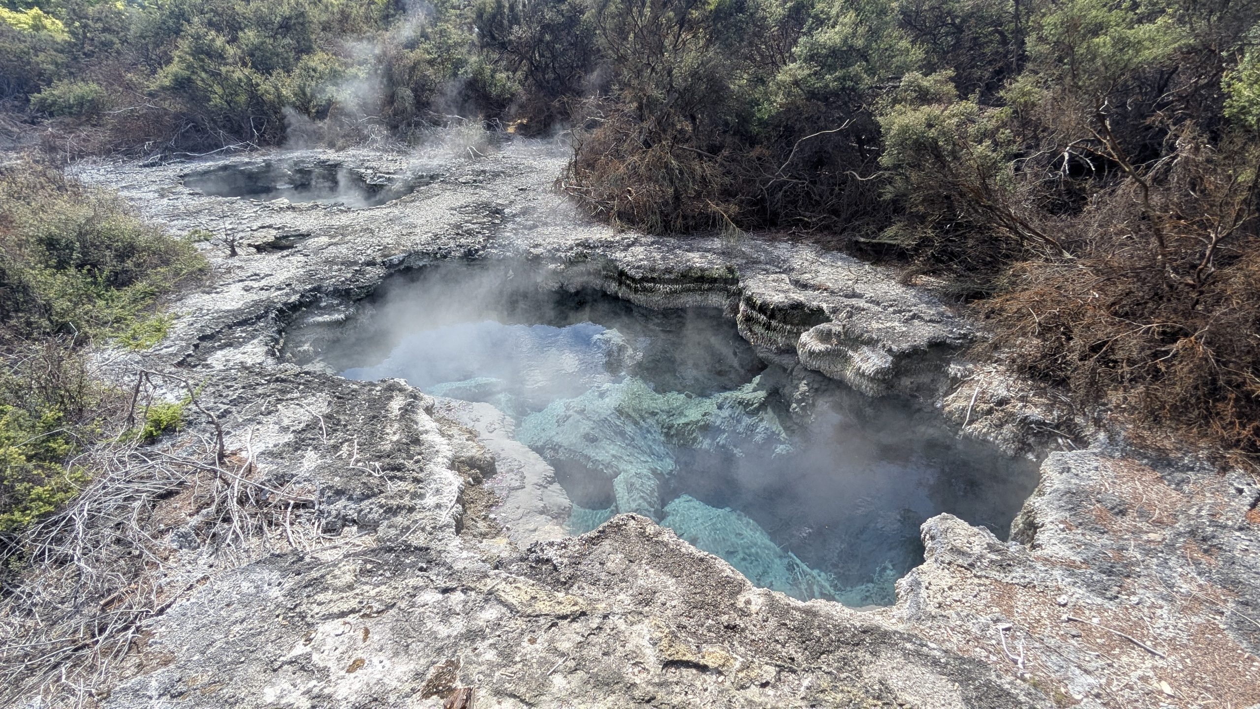
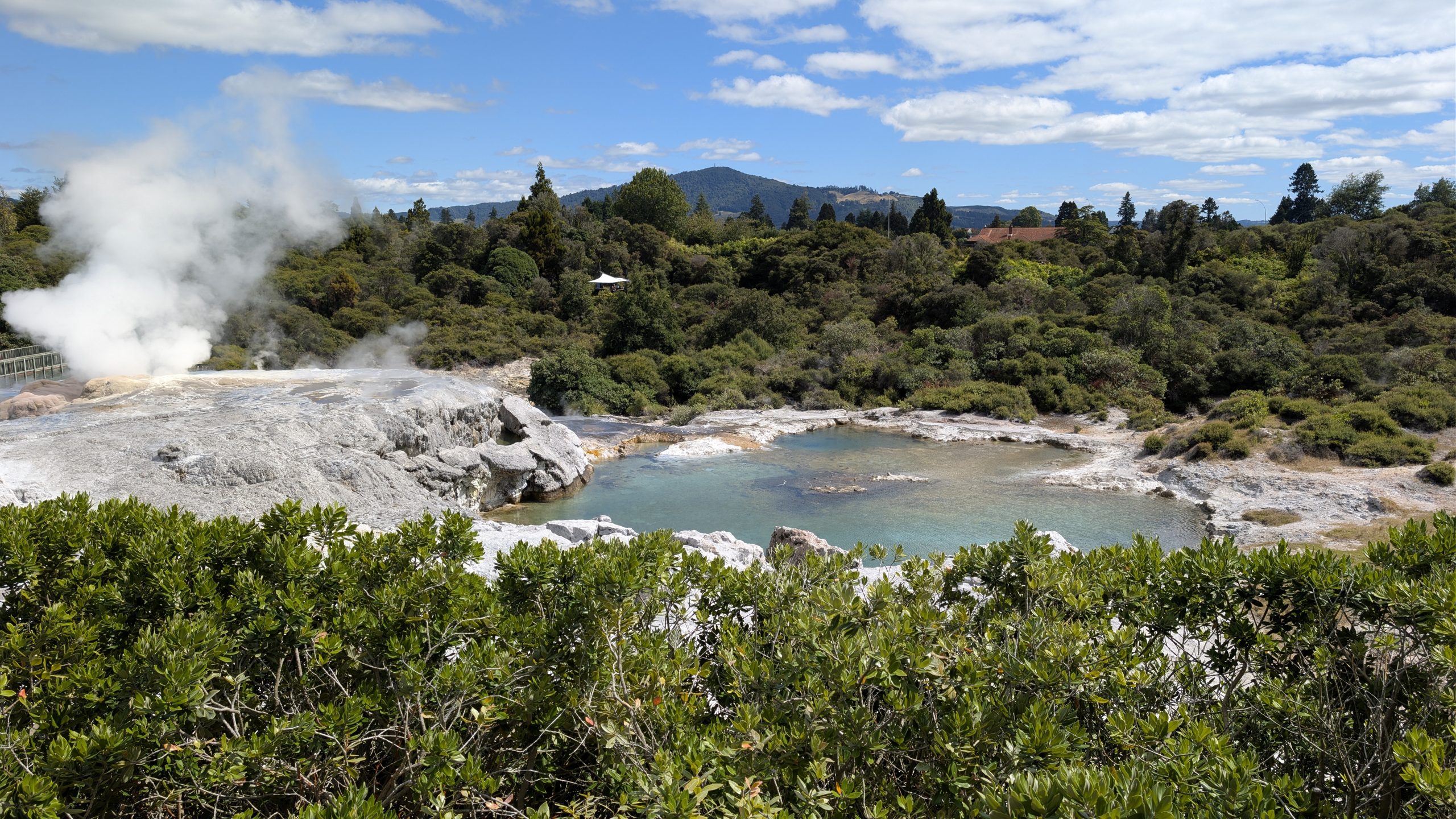
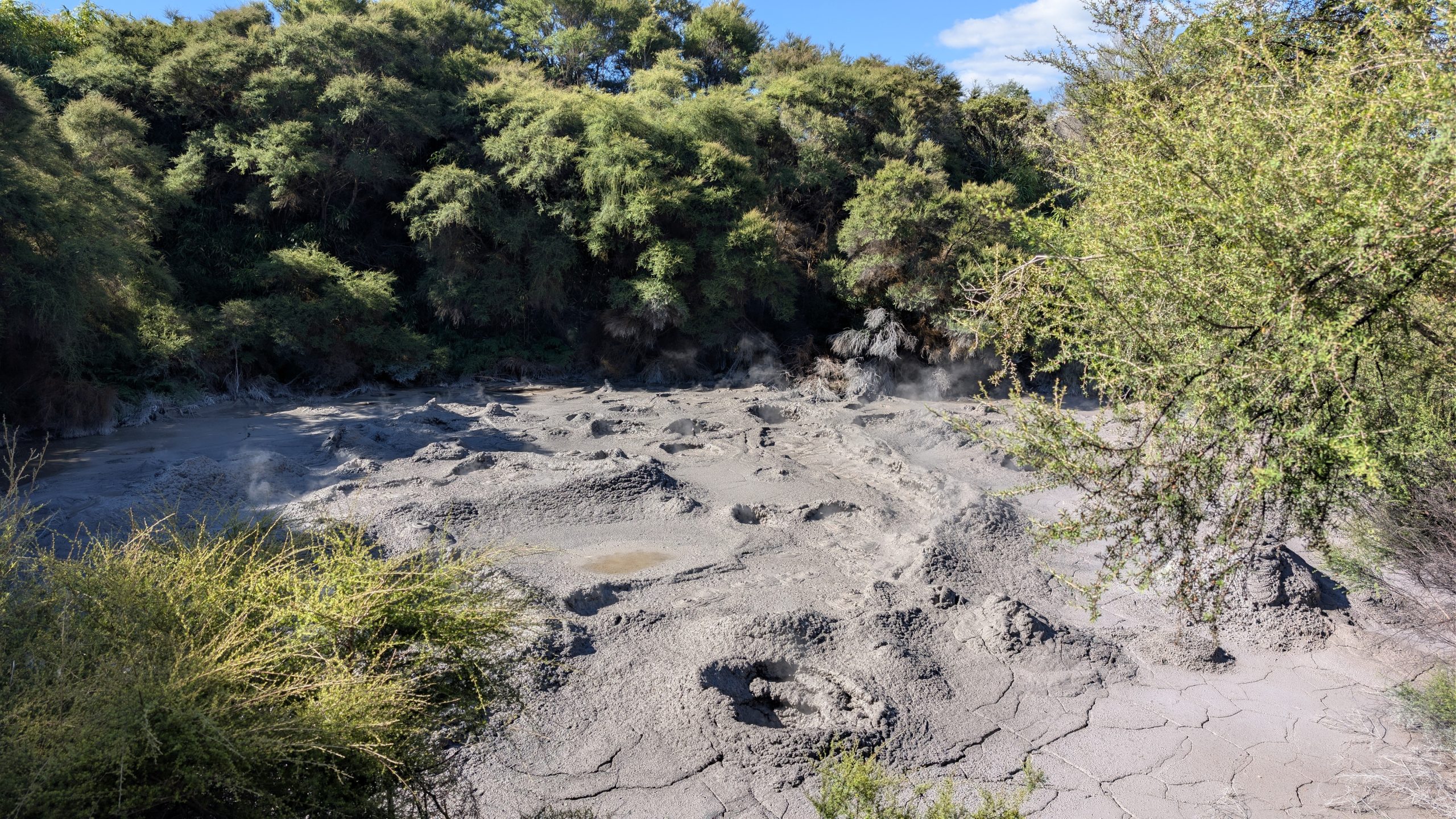
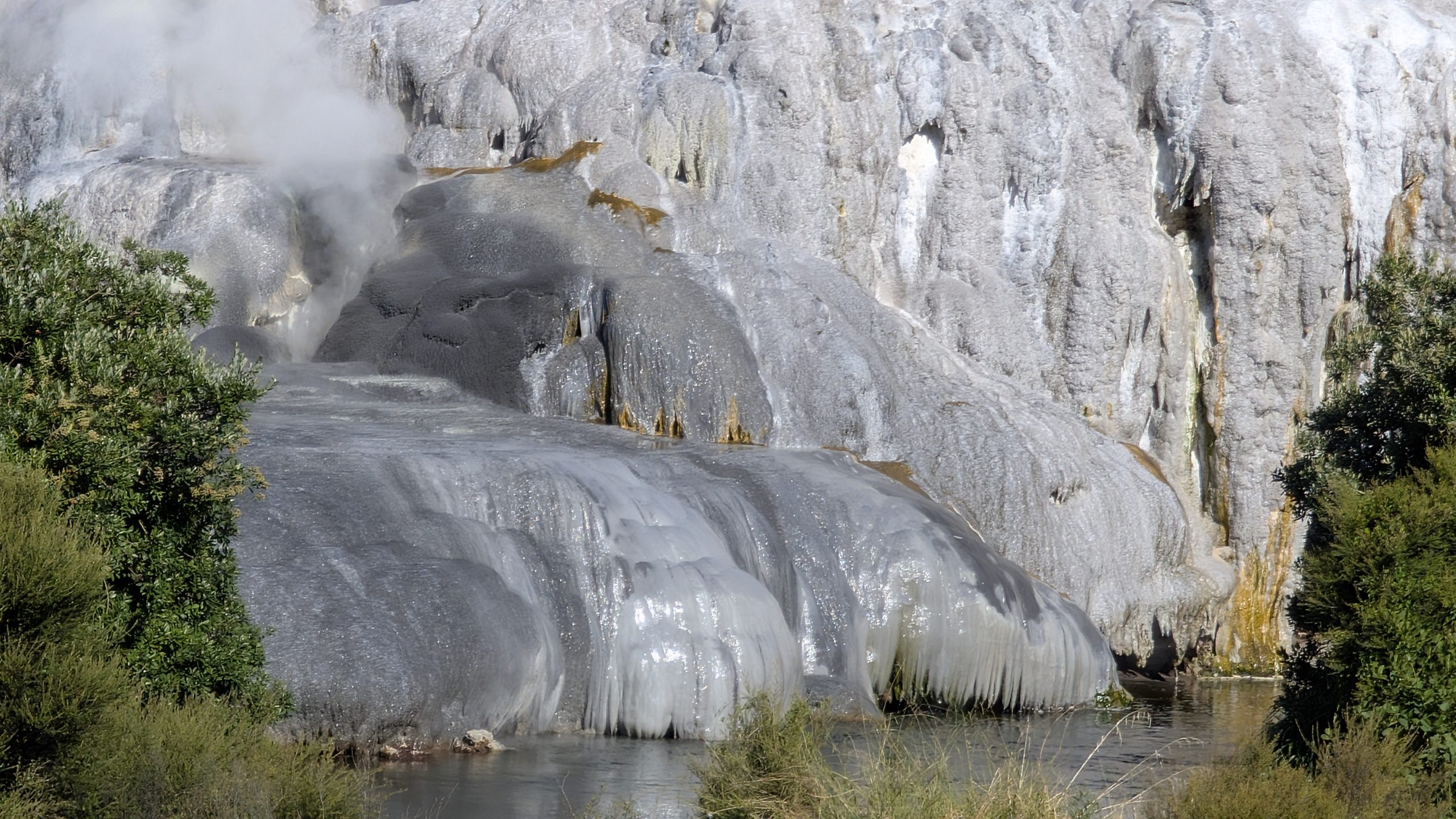
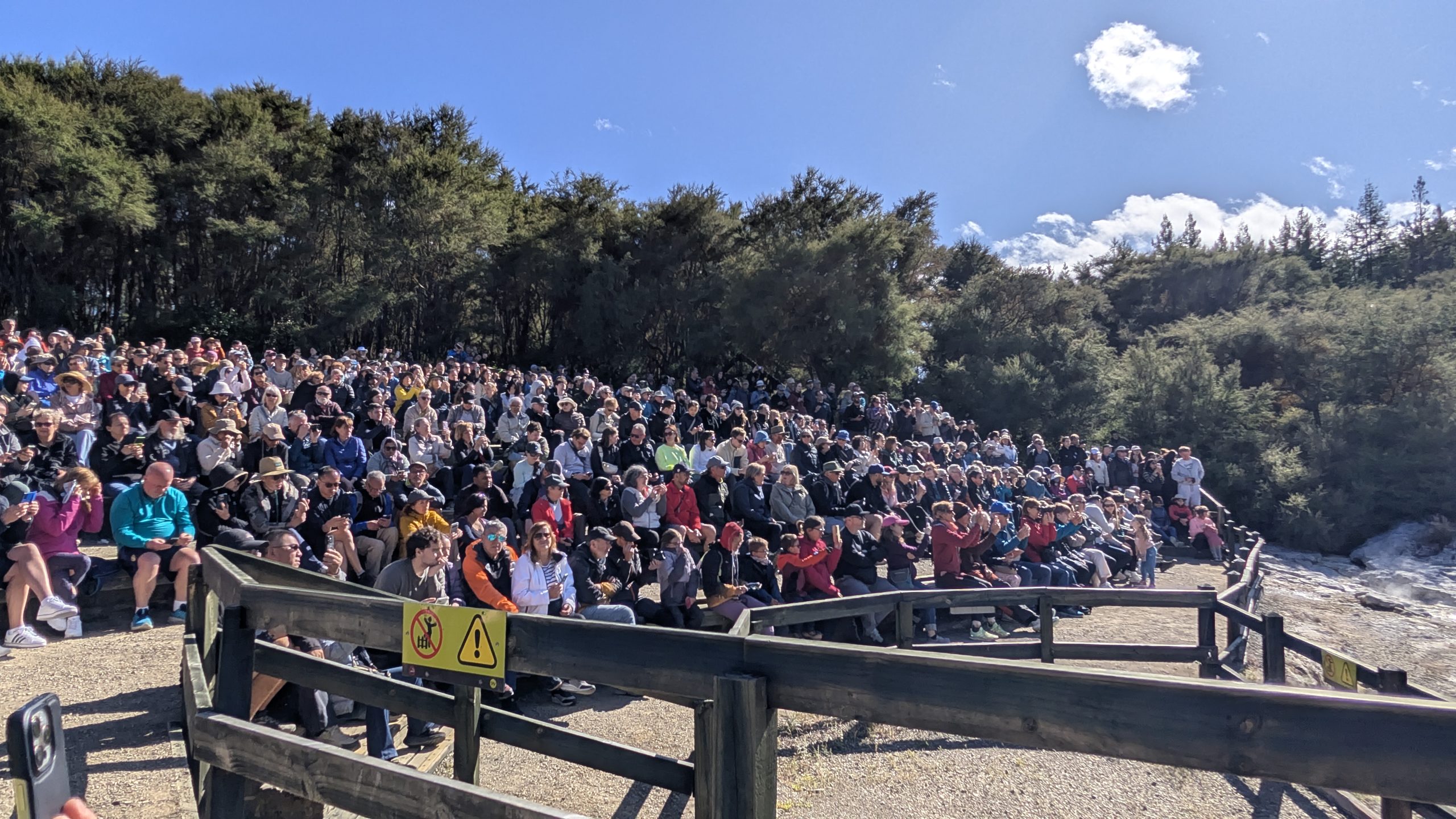
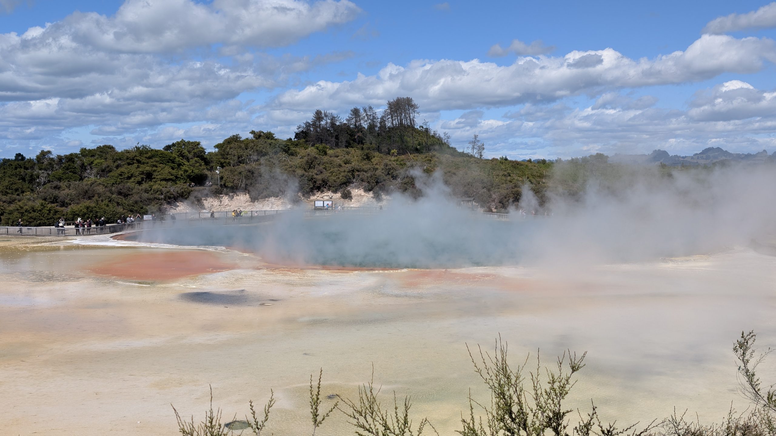
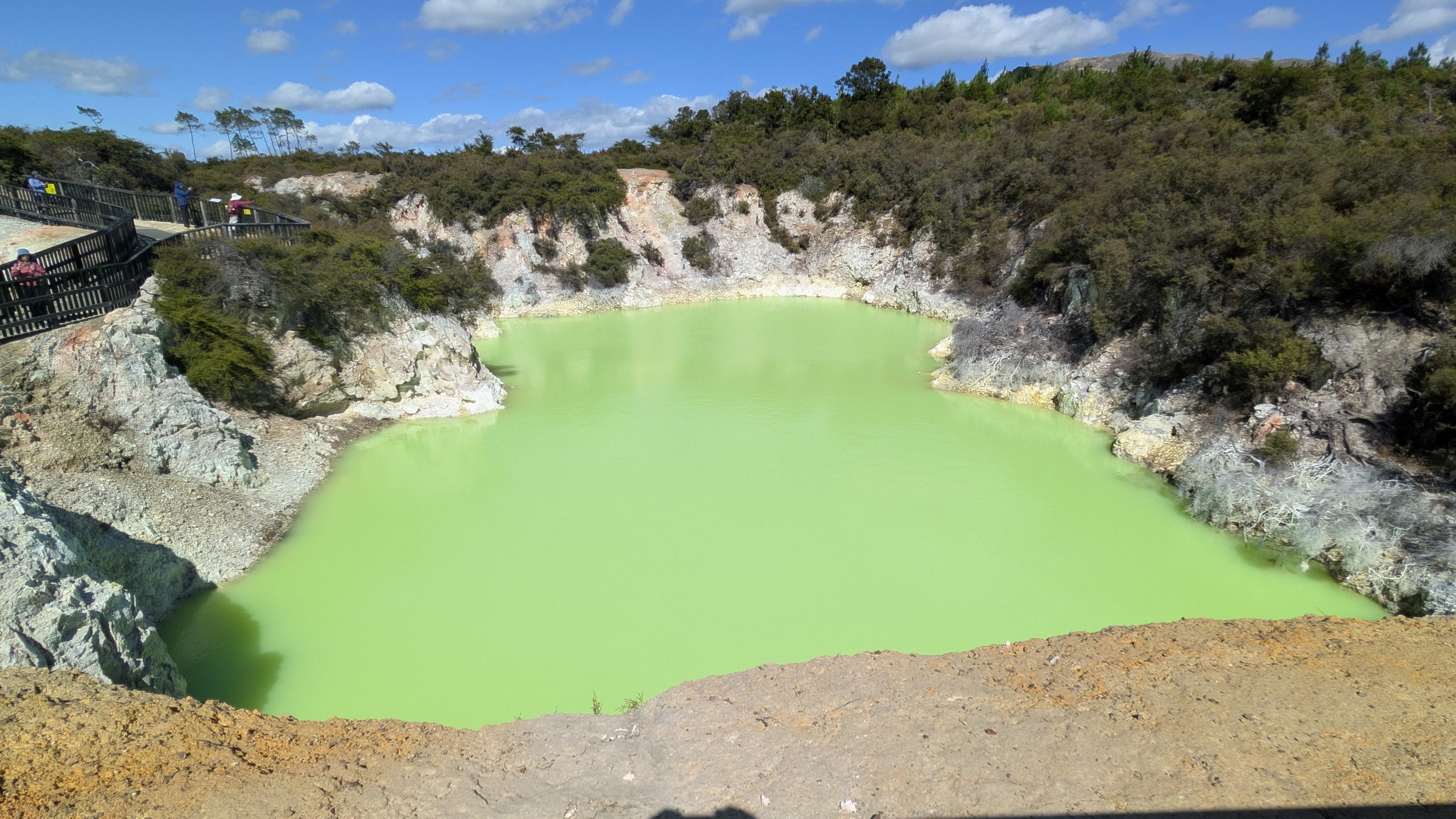
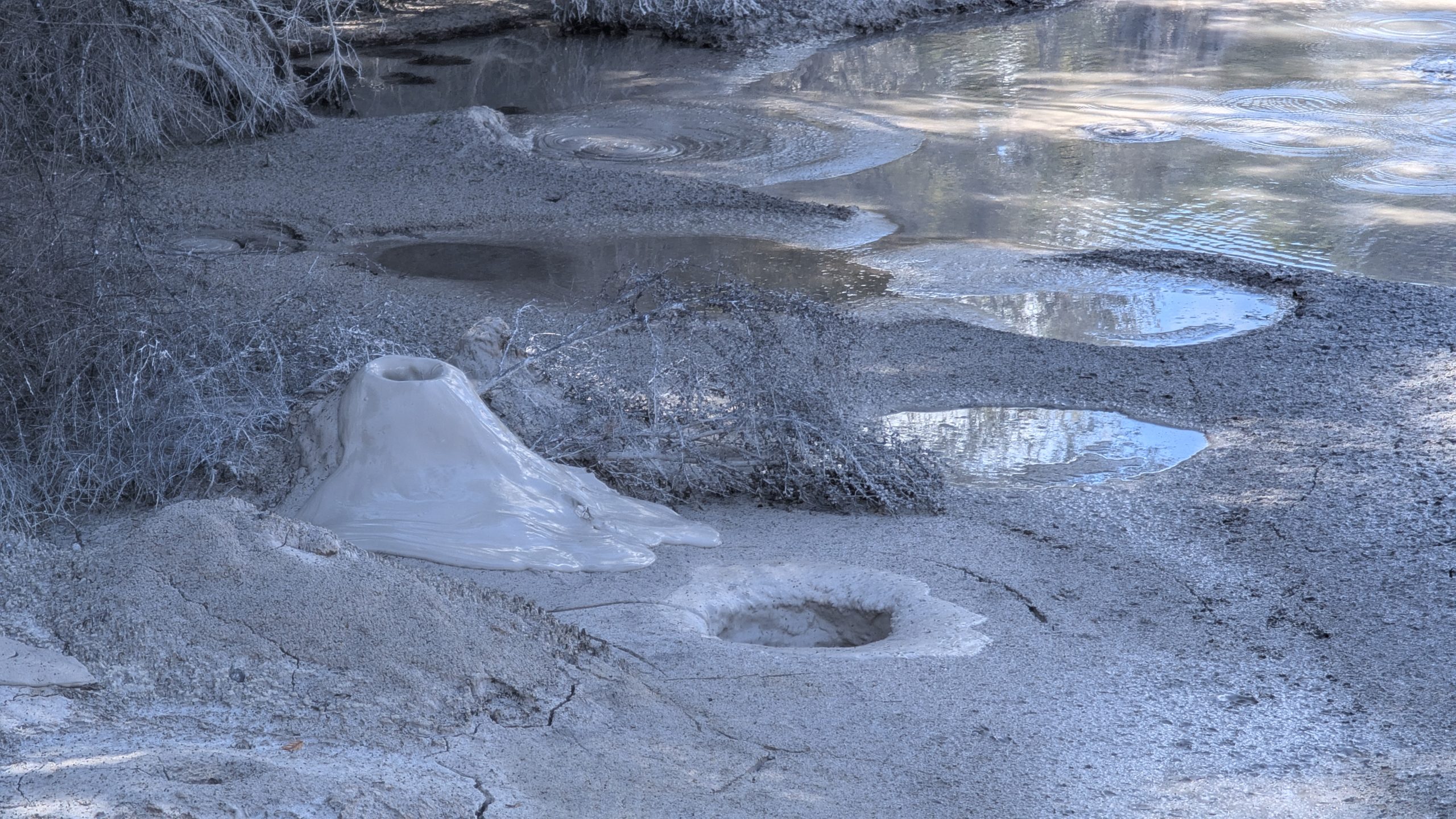
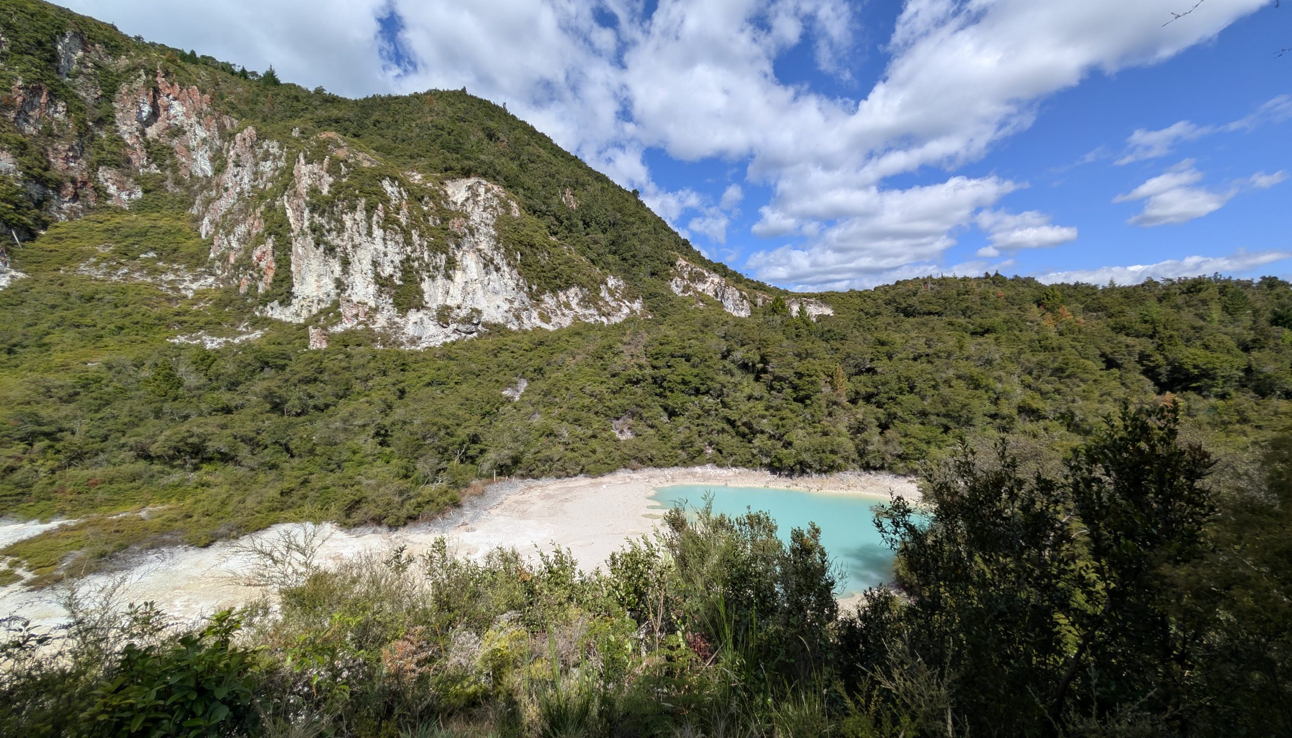
It was a very good trip, although I would rank it third out of the three trips we have made to New Zealand, due to having bad weather for several days which sometimes caused us to change our plans. On the South Island it rarely felt like summer. Even on the nicer days it was usually cool and damp. However, the weather in Rotorua was the nicest of the trip with no rain and many sunny days, which was good for watching geysers. The geyser activity was a bit disappointing though, with a few geysers not erupting at all and Kererū being finicky. The Milford Track hike, visiting Stewart Island with the kiwi birds, seeing the penguins in Dunedin, and seeing the vivid blue of Hokitika Gorge were the big highlights for me. Would I go back for a fourth trip? Absolutely, but that will be a few years away.