February 19, 2026
We had a free day to explore Stewart Island since we had no paid tours planned. We considered renting bikes to tour the island but decided against it since some of the places that I wanted to visit were on hiking trails. The weather forecast looked decent until about 3 PM when a band of rain showers was expected.
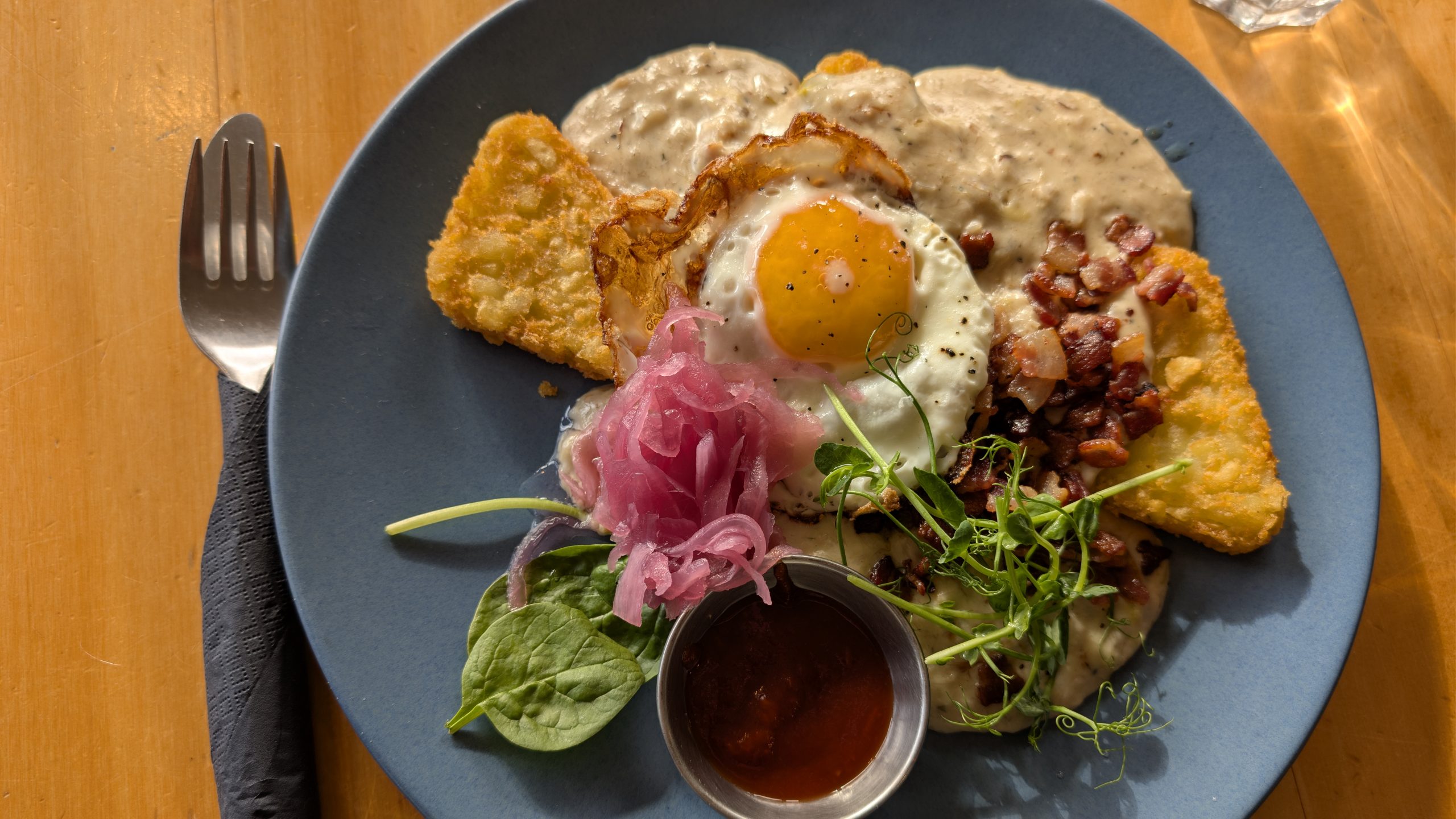
We allowed ourselves to sleep in after the late return from the kiwi spotting tour the previous night. We walked over to the hotel restaurant and had a real sit down breakfast.
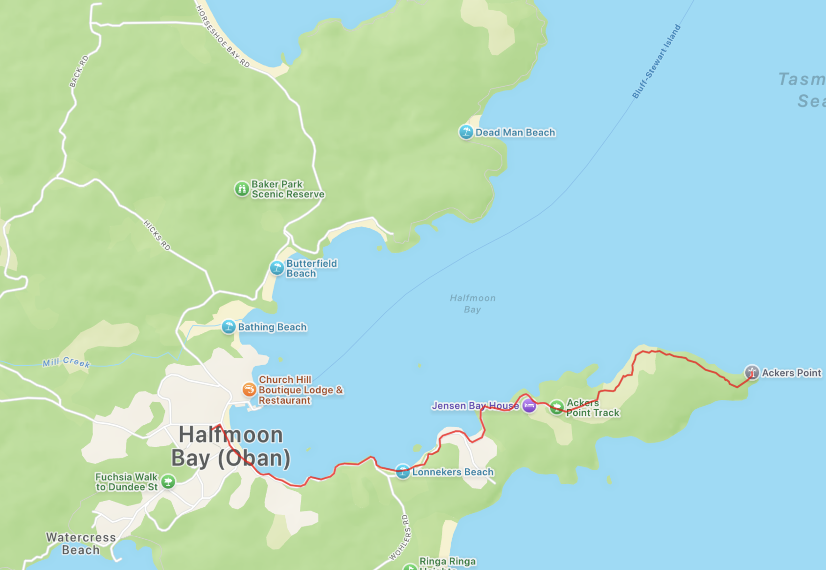
After breakfast we decided to take the walk to Ackers Point. This walk followed the southern coastline of Halfmoon Bay to a scenic lookout. The first part of the walk followed the road which had many scenic views of beaches and bays.
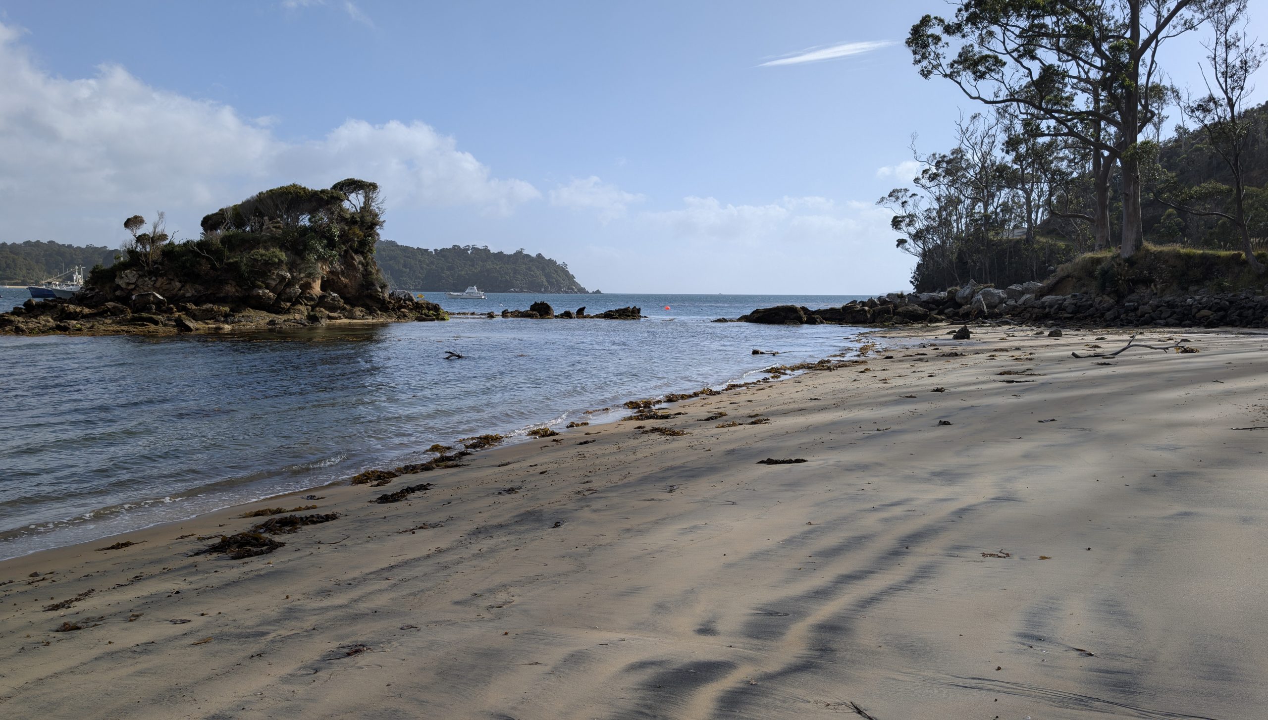
We passed Lonnekers Beach which was at low tide, so we walked across the beach.
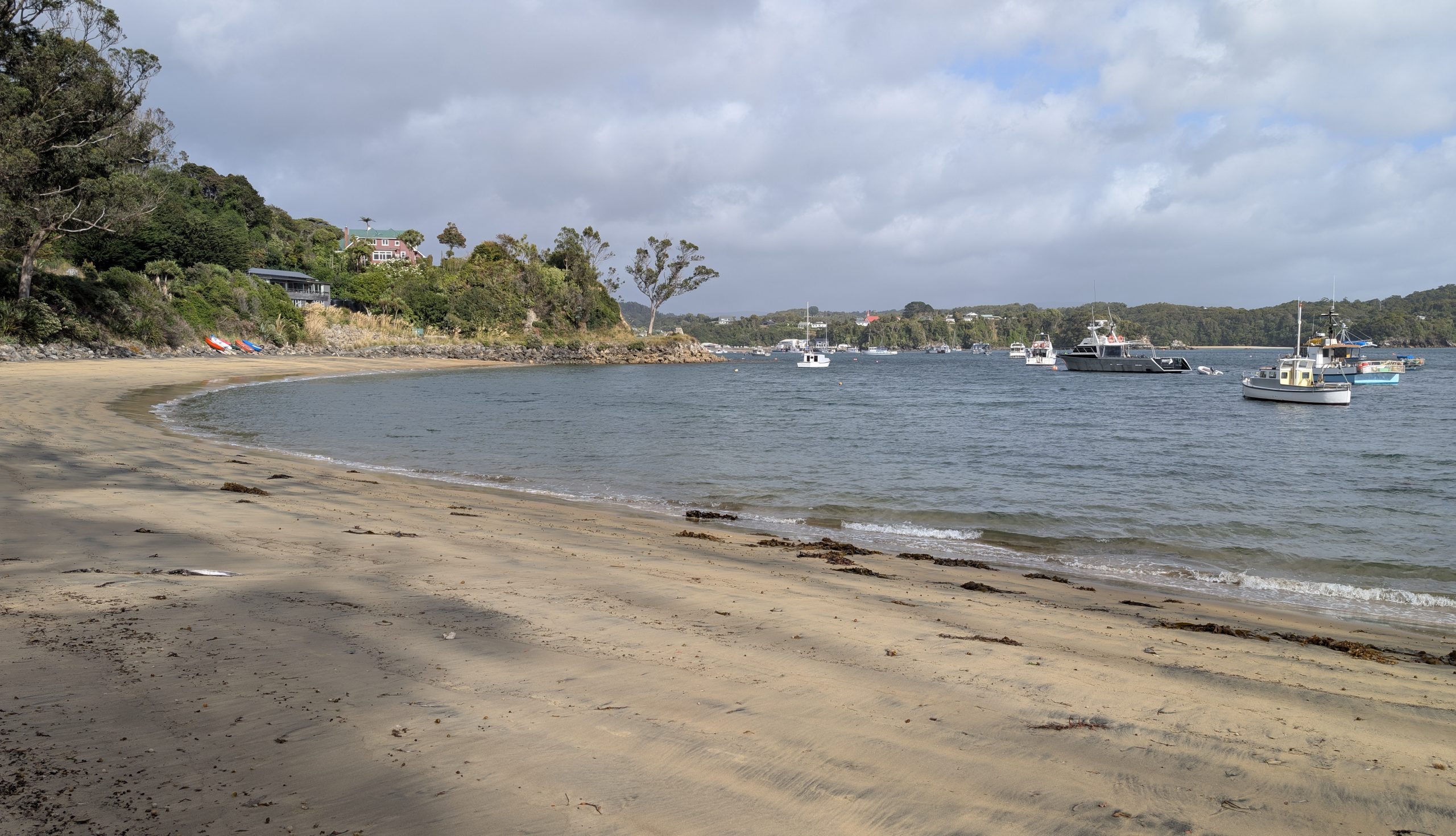
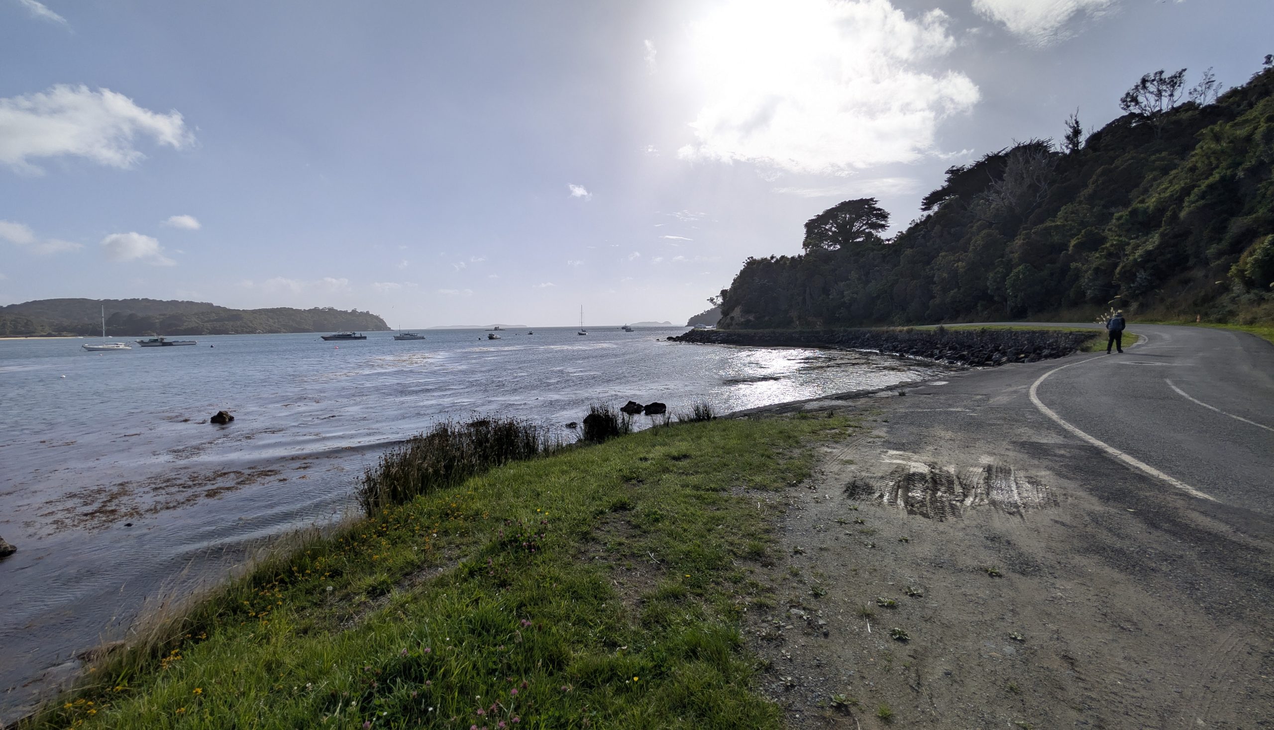
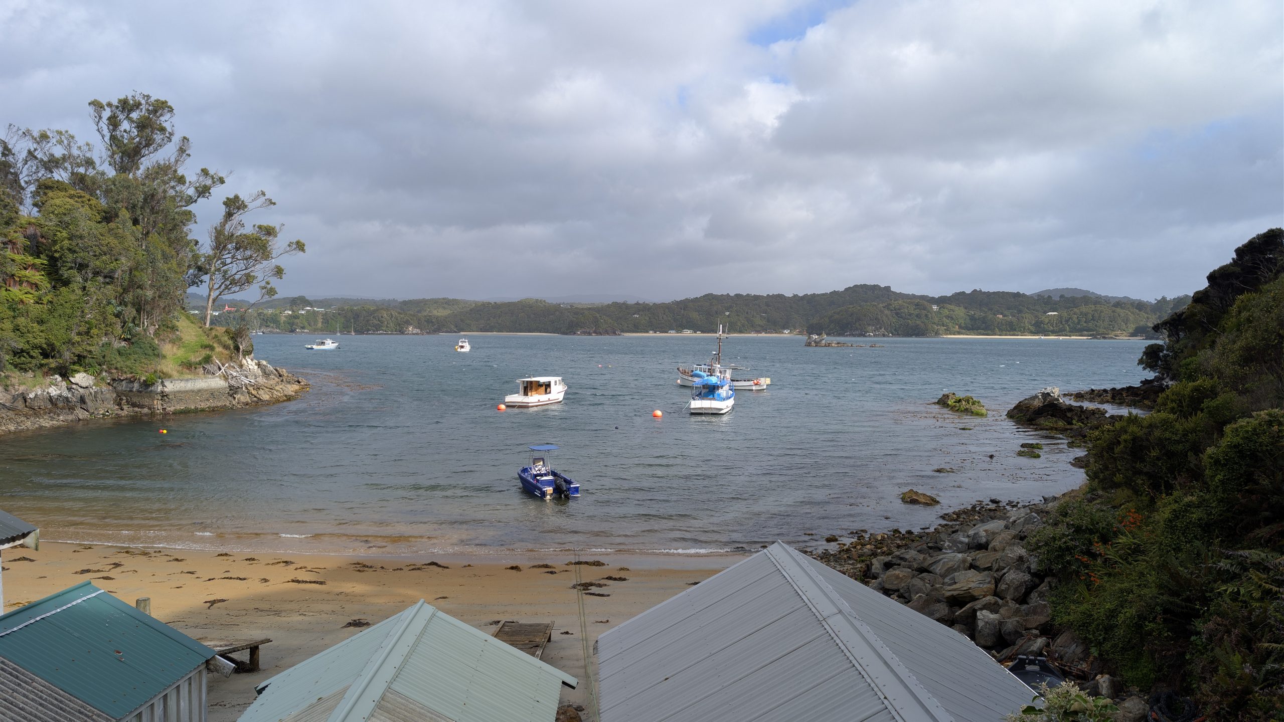
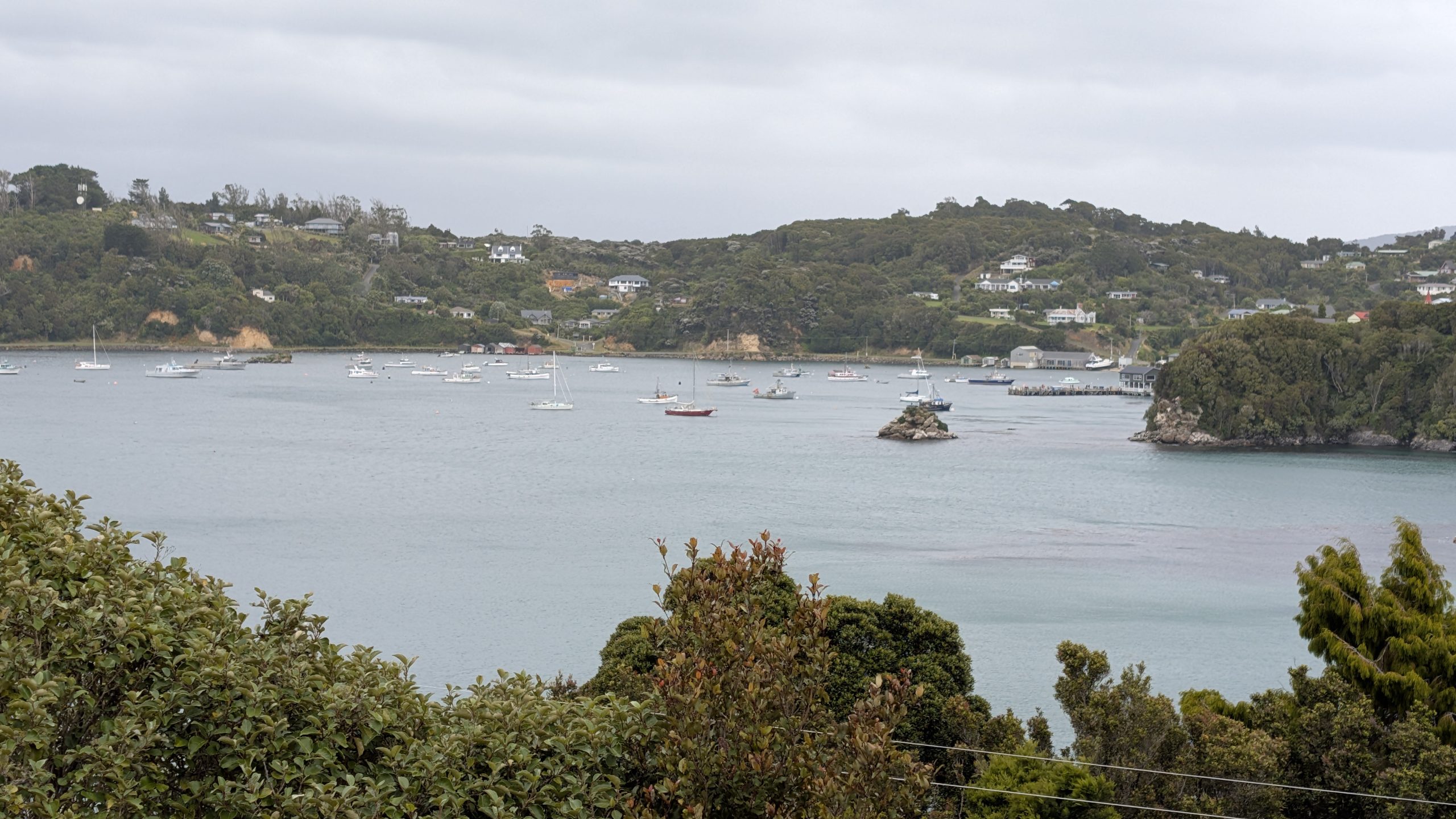
Continuing up the road we passed Leask Bay which was a private area for the locals and their boats.
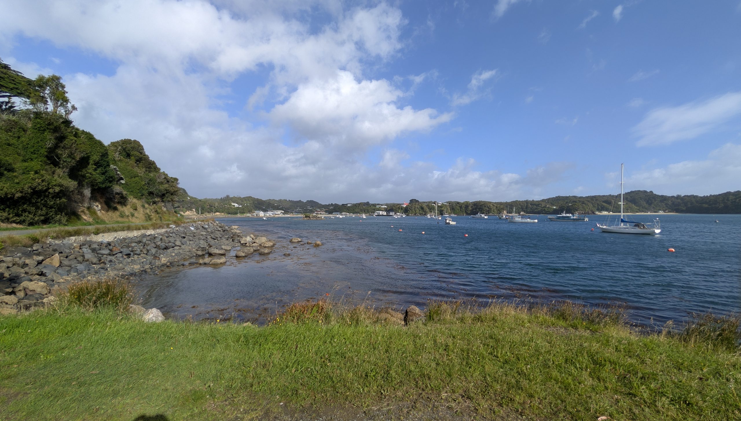
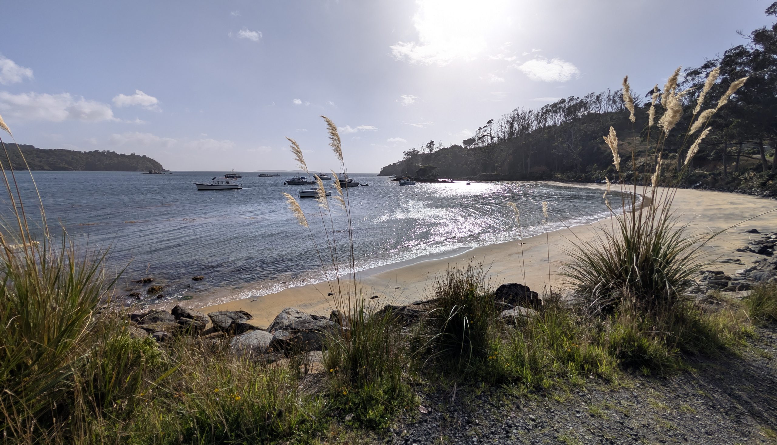
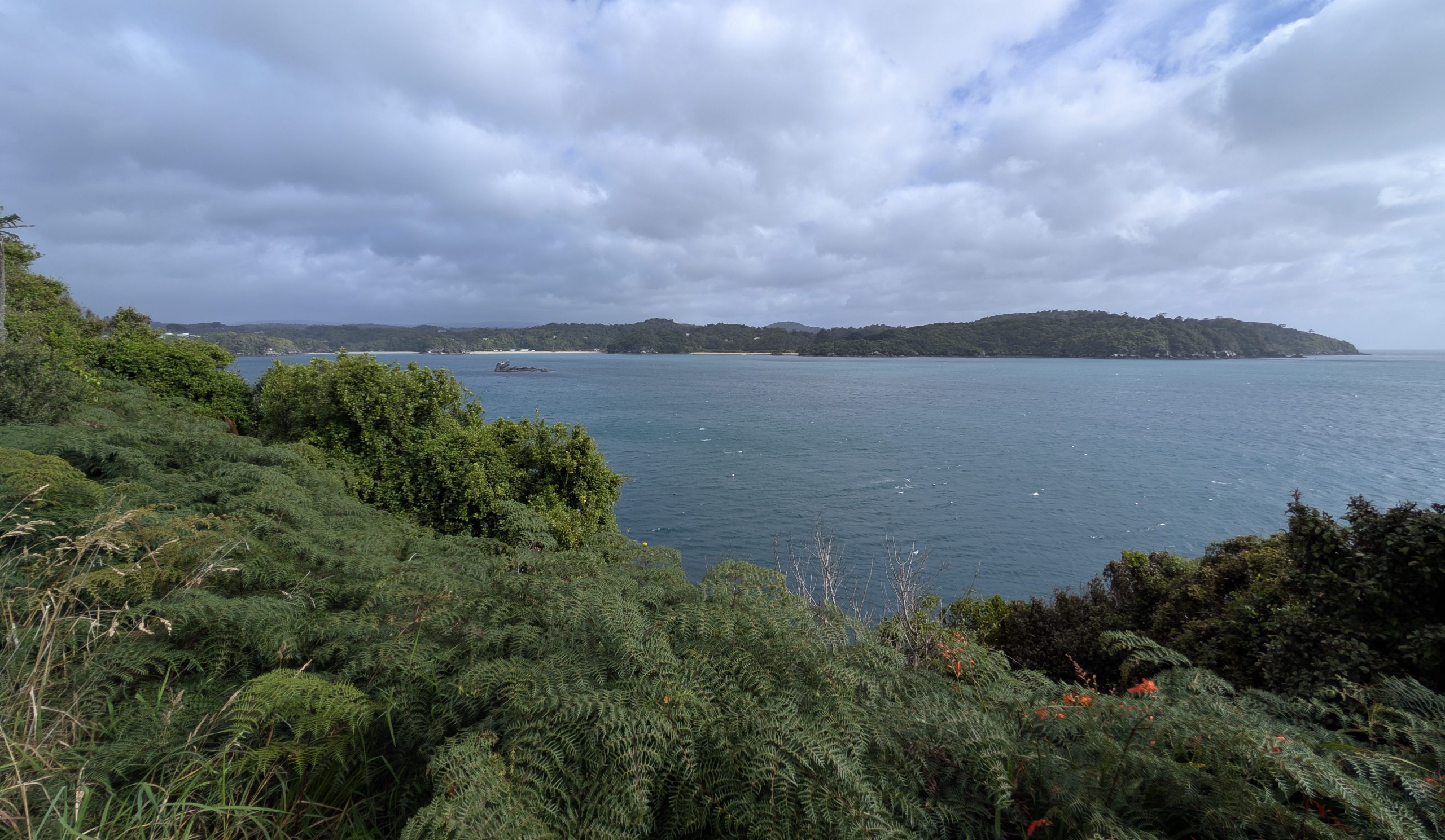
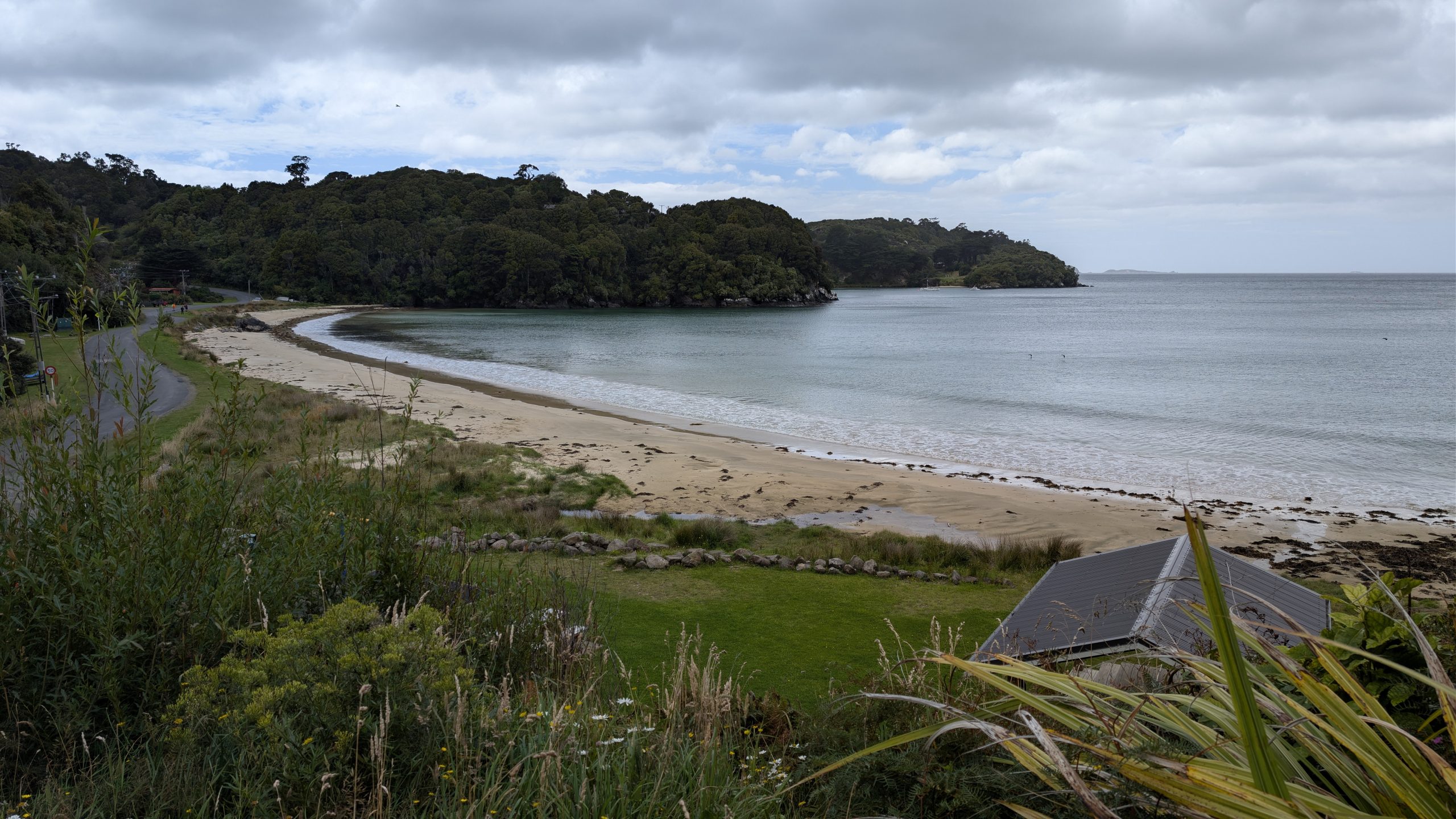
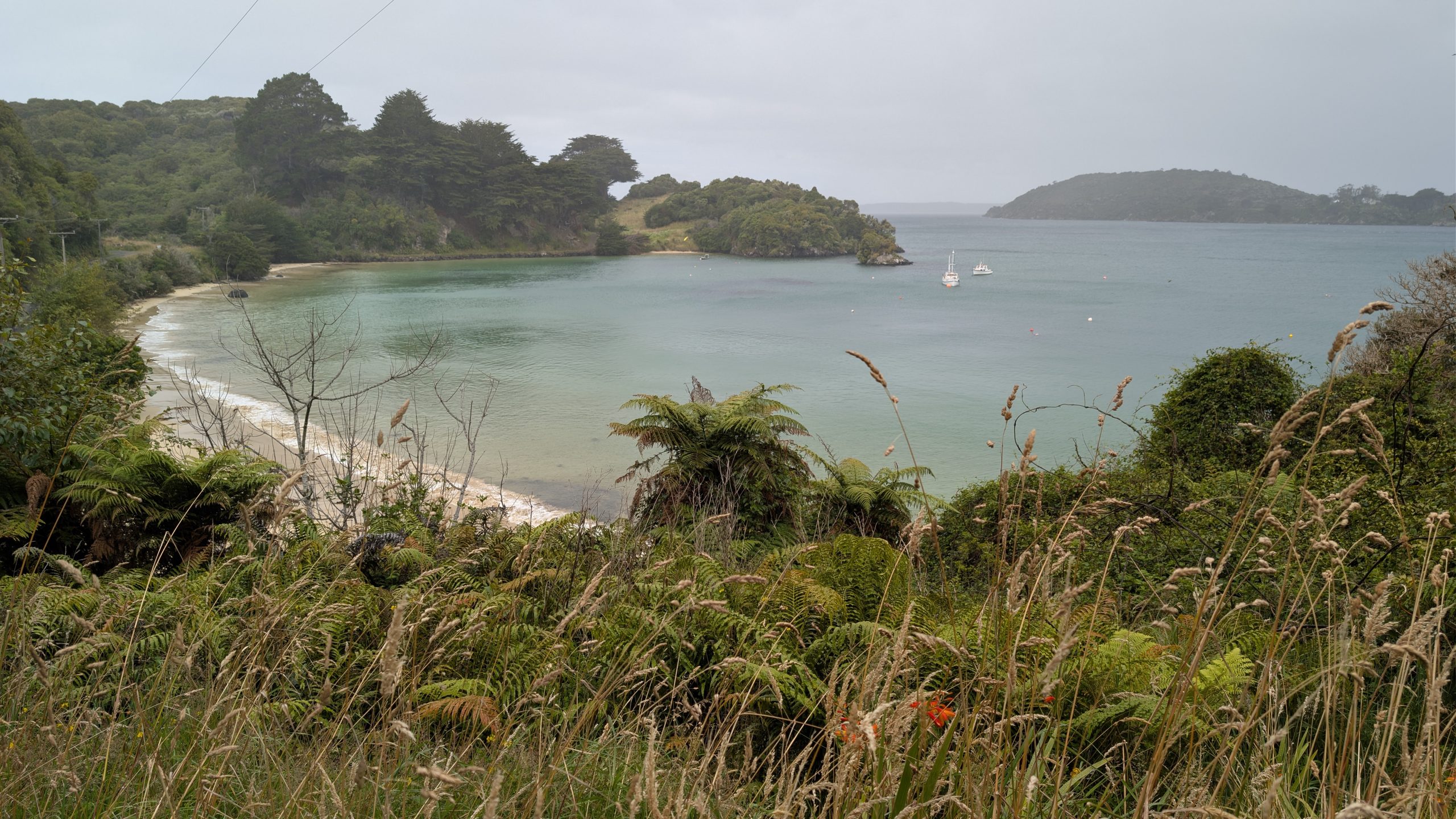
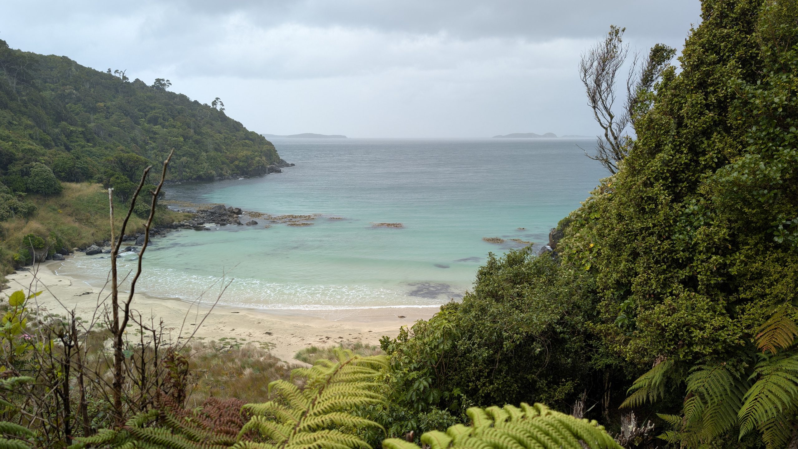
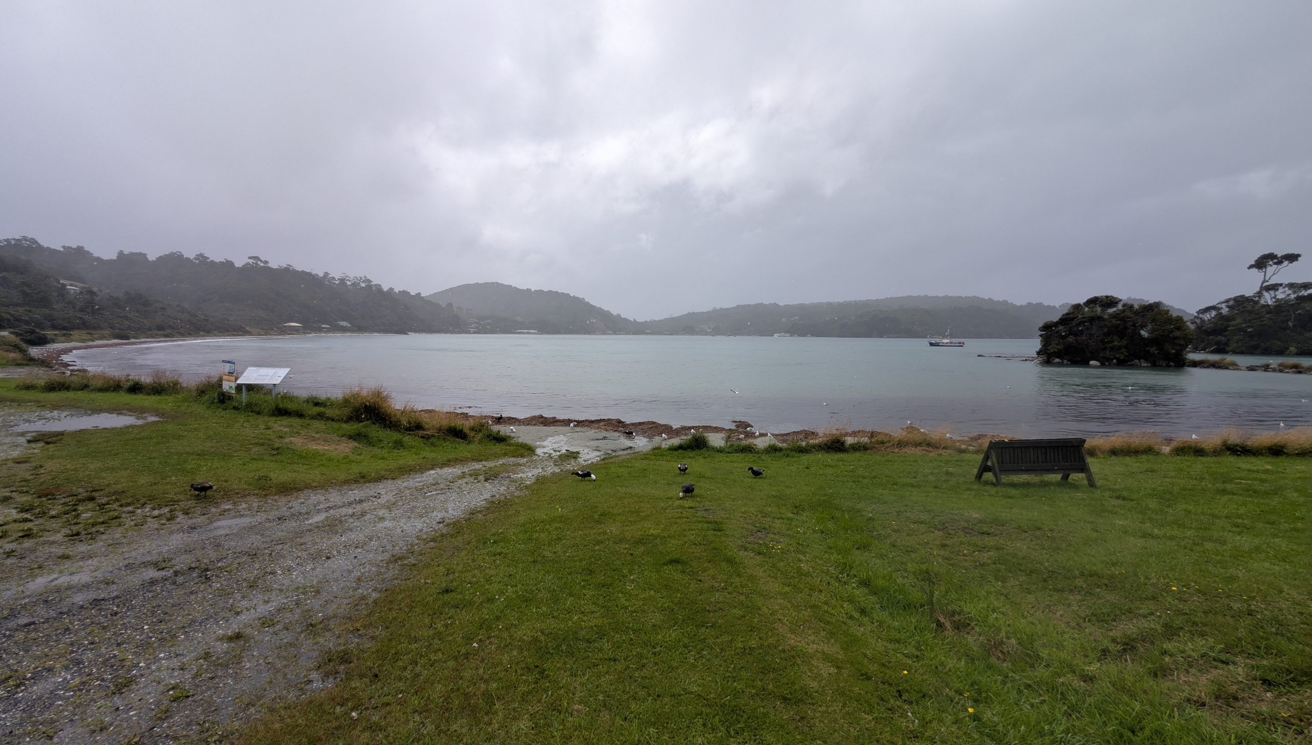
Past Leask Bay we climbed the road to a nice view of Halfmoon Bay. The photo below shows the beaches and coastline on the far side of the bay where I would take a hike later that afternoon.
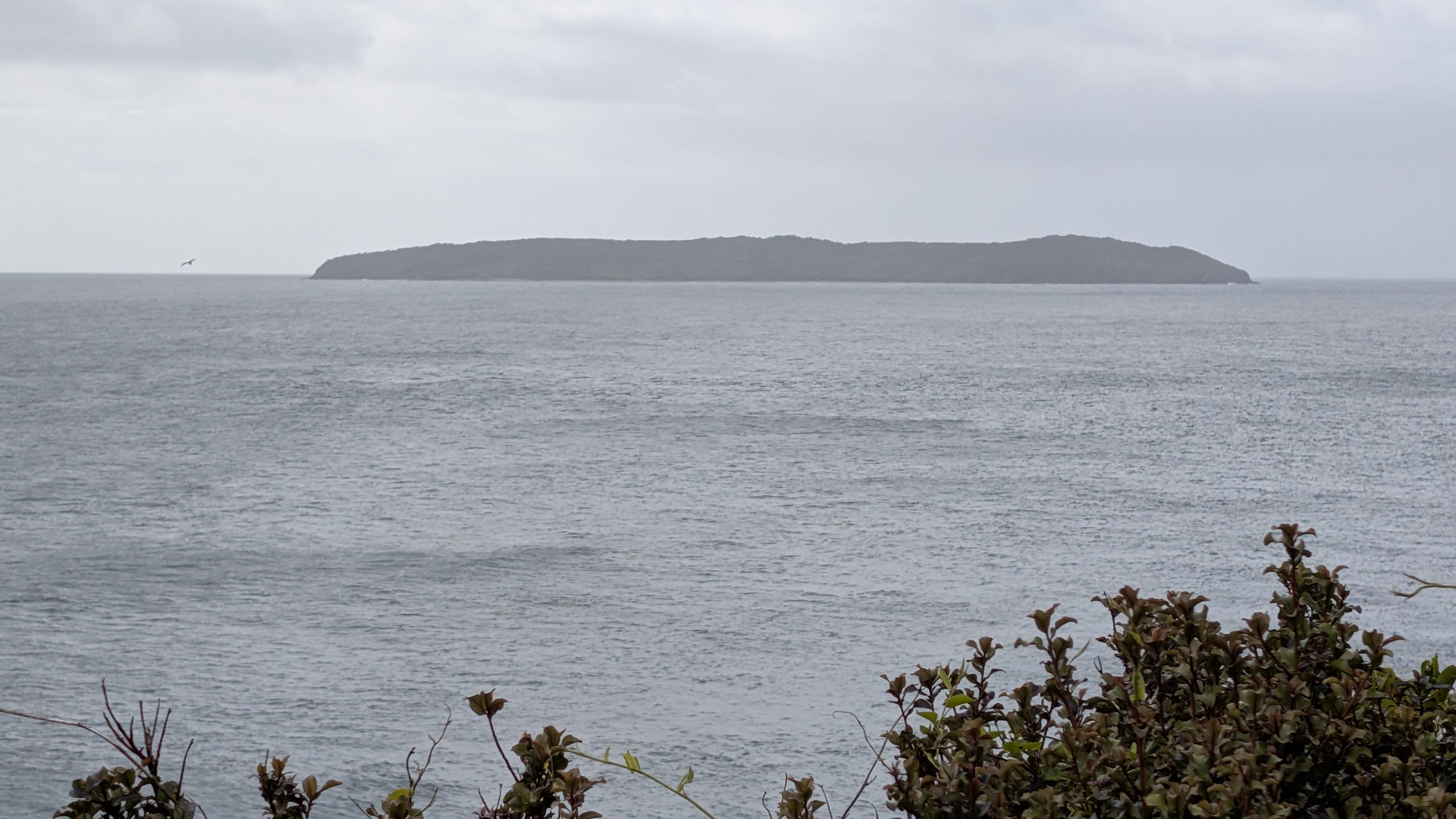
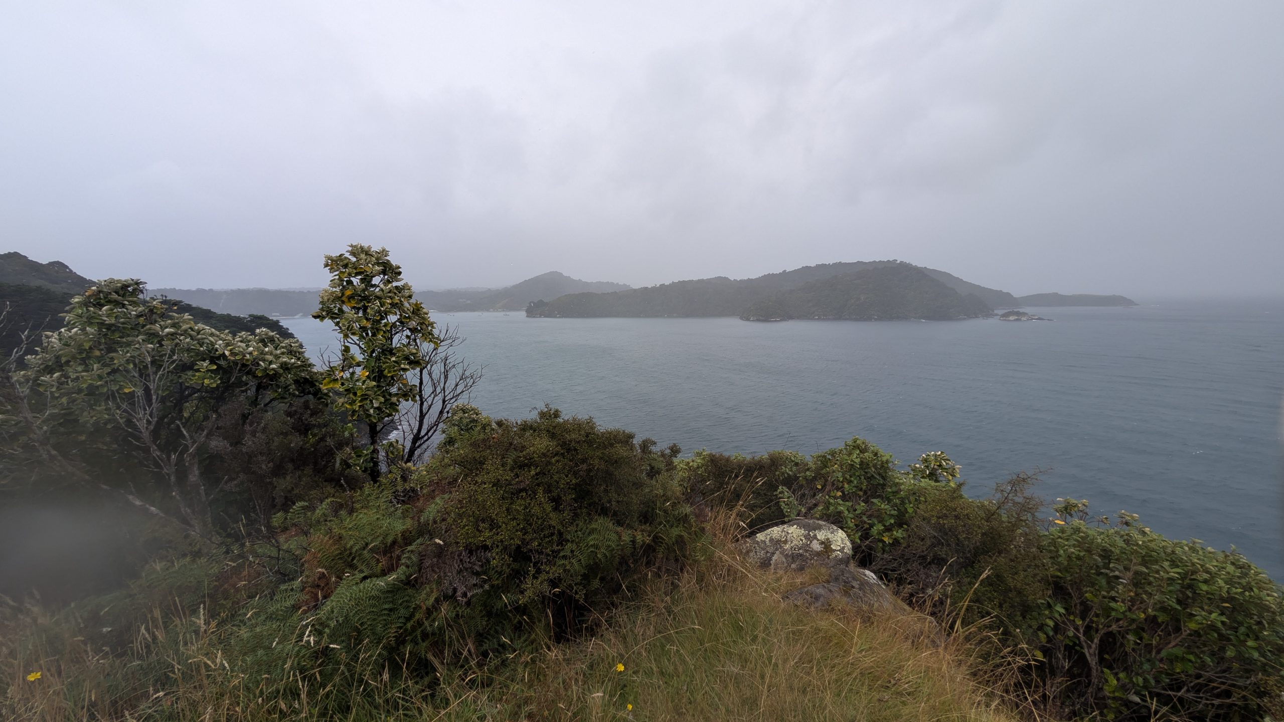
The road ended at Ackers Stone House which we would explore later on our return. We took the hiking trail that climbed up to Ackers Point. The weather had been sunny for the start of our walk but then steadily got cloudier, and by the time we reached Ackers Point it was completely cloudy and appeared to be raining in the distance. We could see many of the islands in the Foveaux Strait.
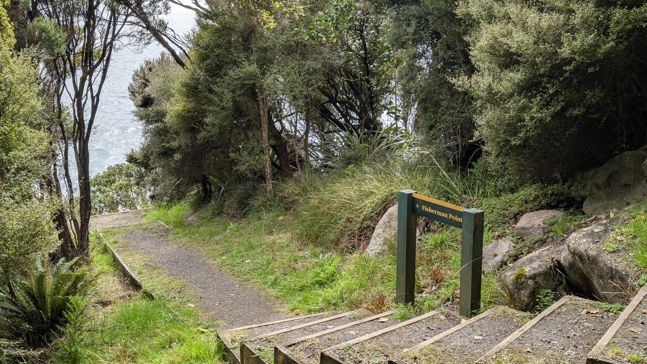
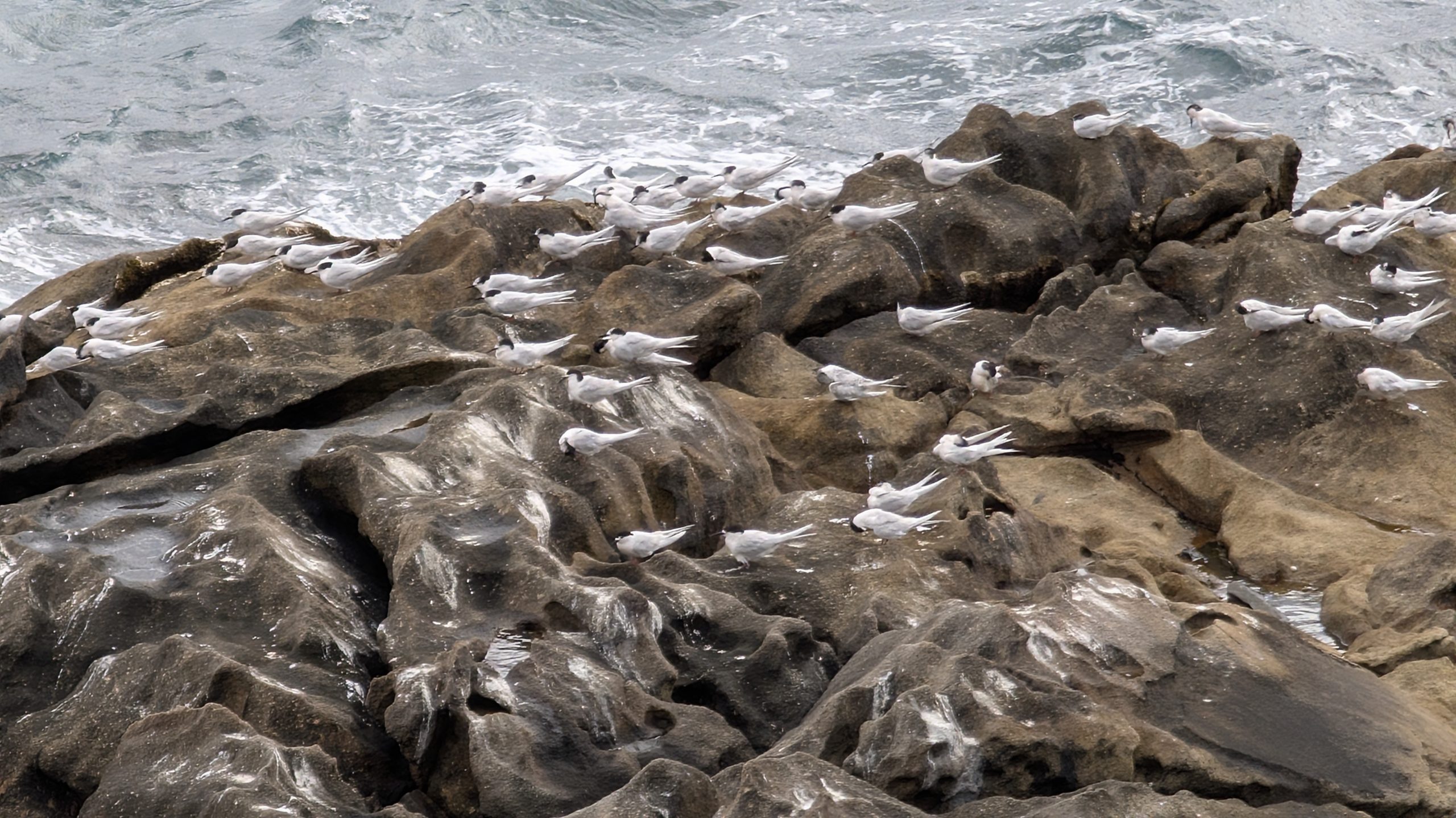
On the return walk we stopped at Fisherman Point where we saw many sea birds doing their own fishing.
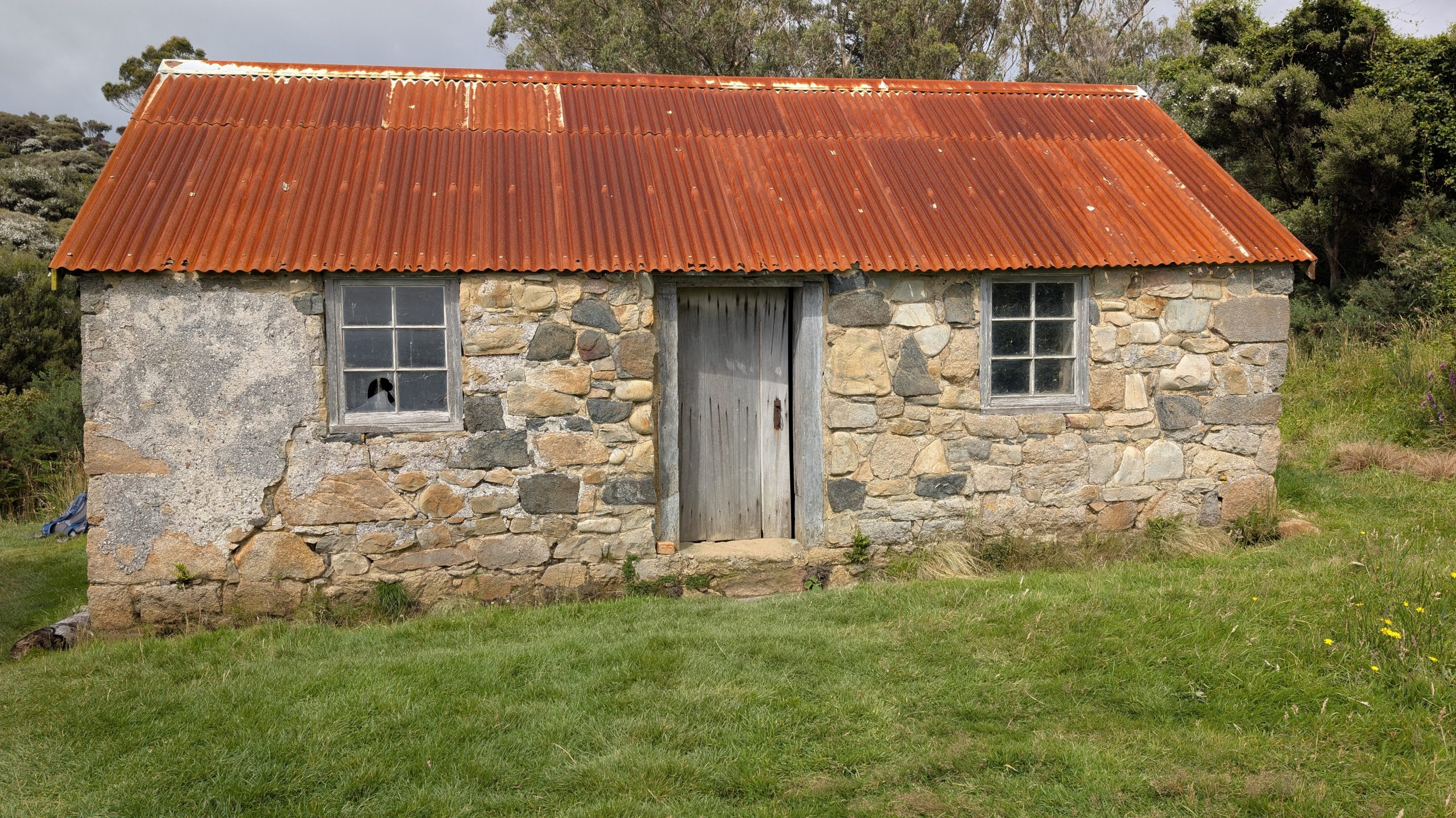
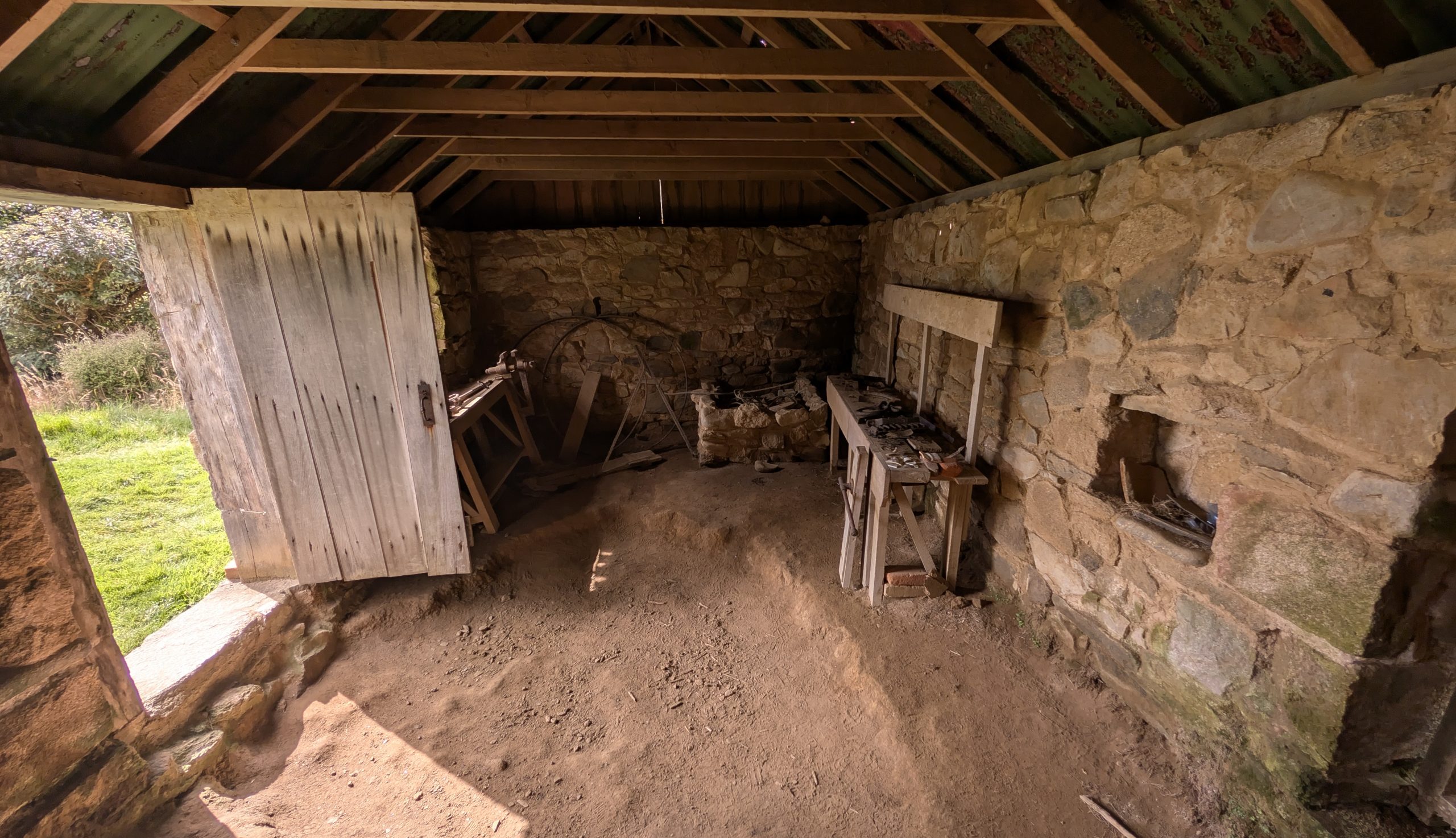
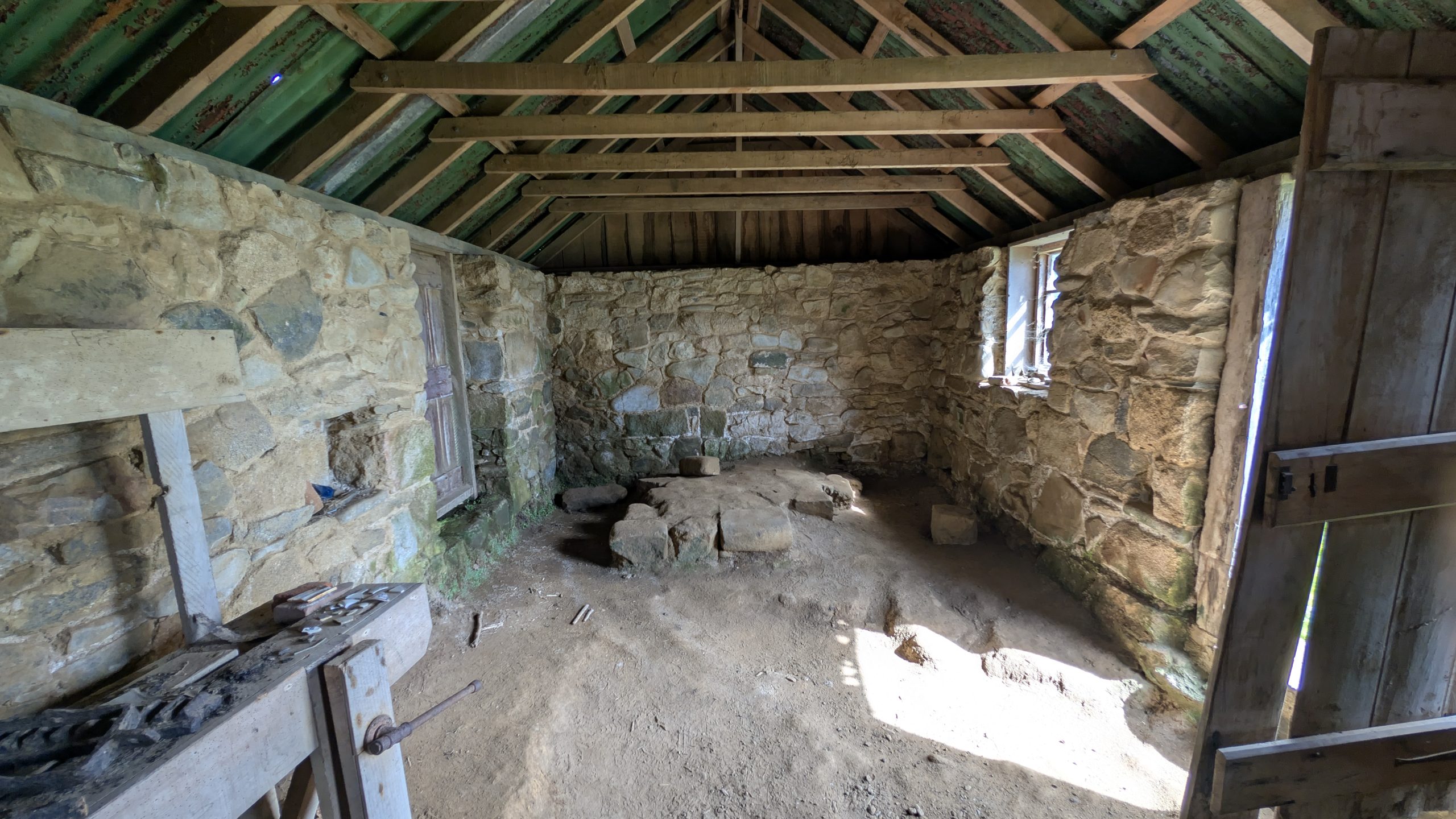
Back at the head of the trail we stopped to see Ackers Stone House, which was the oldest European building on Stewart Island and a New Zealand historic place. Lewis Acker was an American whaler who built the house around 1836 and raised 9 children.
We walked back to our room and had lunch. Heinrich was done walking for the day, but I wanted to see more, so in the afternoon I decided to hike to Horseshoe Point which was southeast of Oban and had views of the Foveaux Strait and Horseshoe Bay.
I followed the same route I had taken on the first day past Bathing Beach, and I continued on Horseshoe Bay Road to Butterfield Beach.
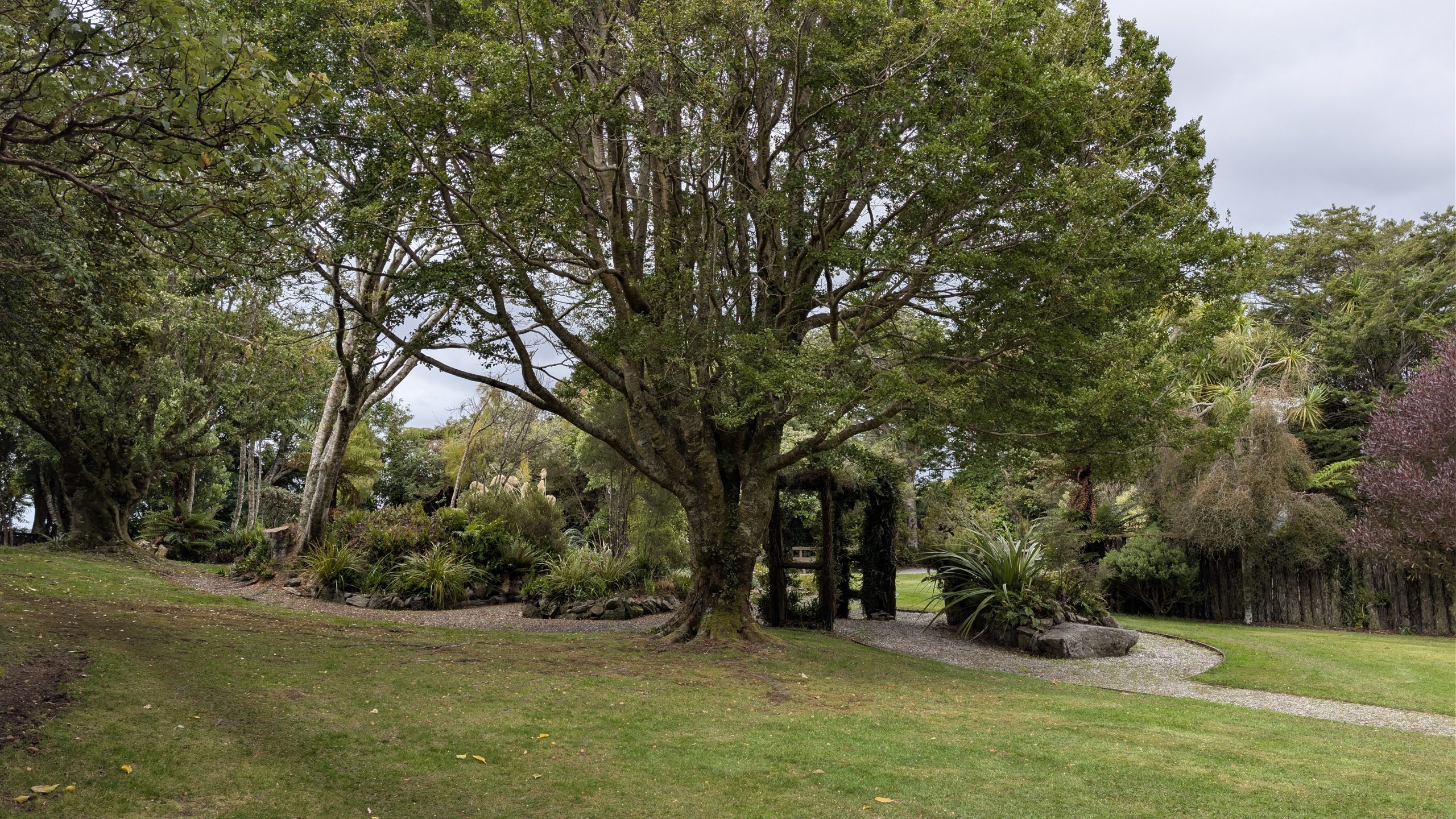
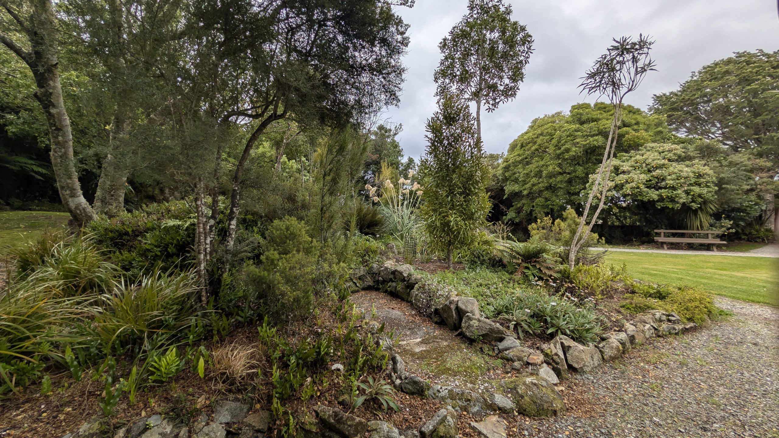
Past Butterfield Beach I walked up Bragg Bay Road, which was a gravel road. I stopped to see the Moturau Moana Native Gardens. I climbed a short trail to a nice viewpoint of Halfmoon Bay.
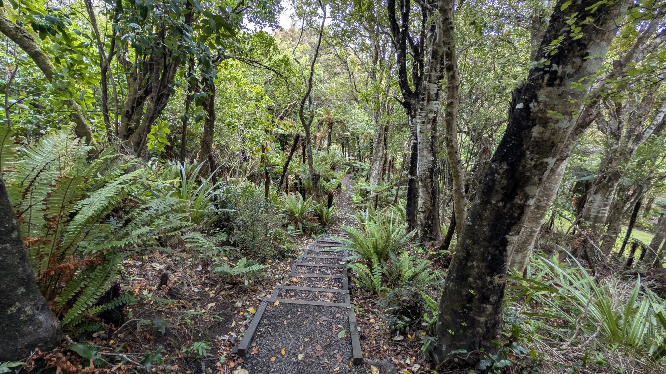
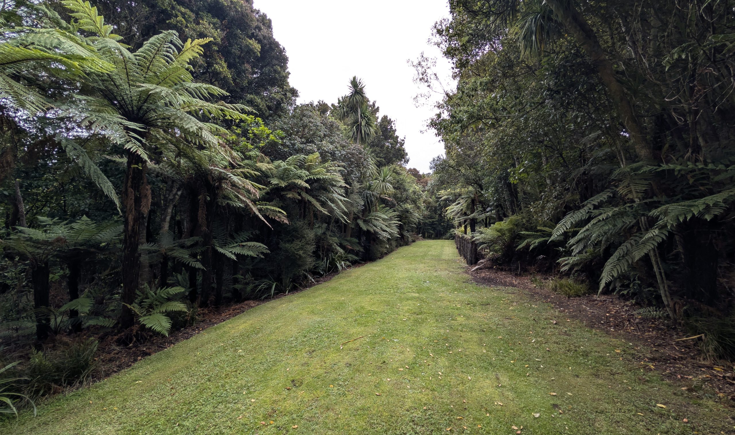
Next I explored the paths through the gardens. The area was New Zealand's southernmost public garden and was gifted to the government by Noeline Baker in 1940.
I walked back to the gravel road. The Horseshoe Point track started at the end of the road at Bragg Bay.
The track climbed uphill past a small cemetery and then wound around many little coves, going up and down. It was slow going, and the weather had started to deteriorate with the predicted rain starting shortly before 3 PM. Fortunately I had my rain gear and it was only a light drizzle off and on.
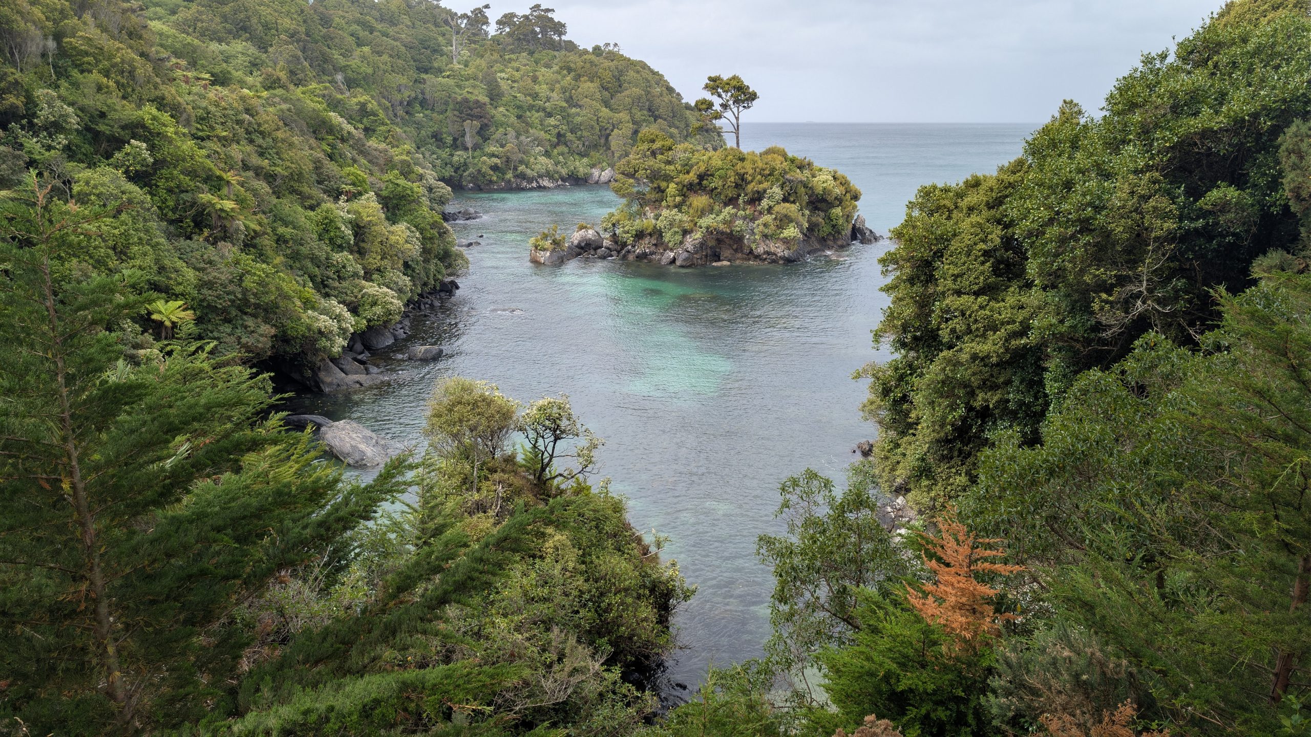
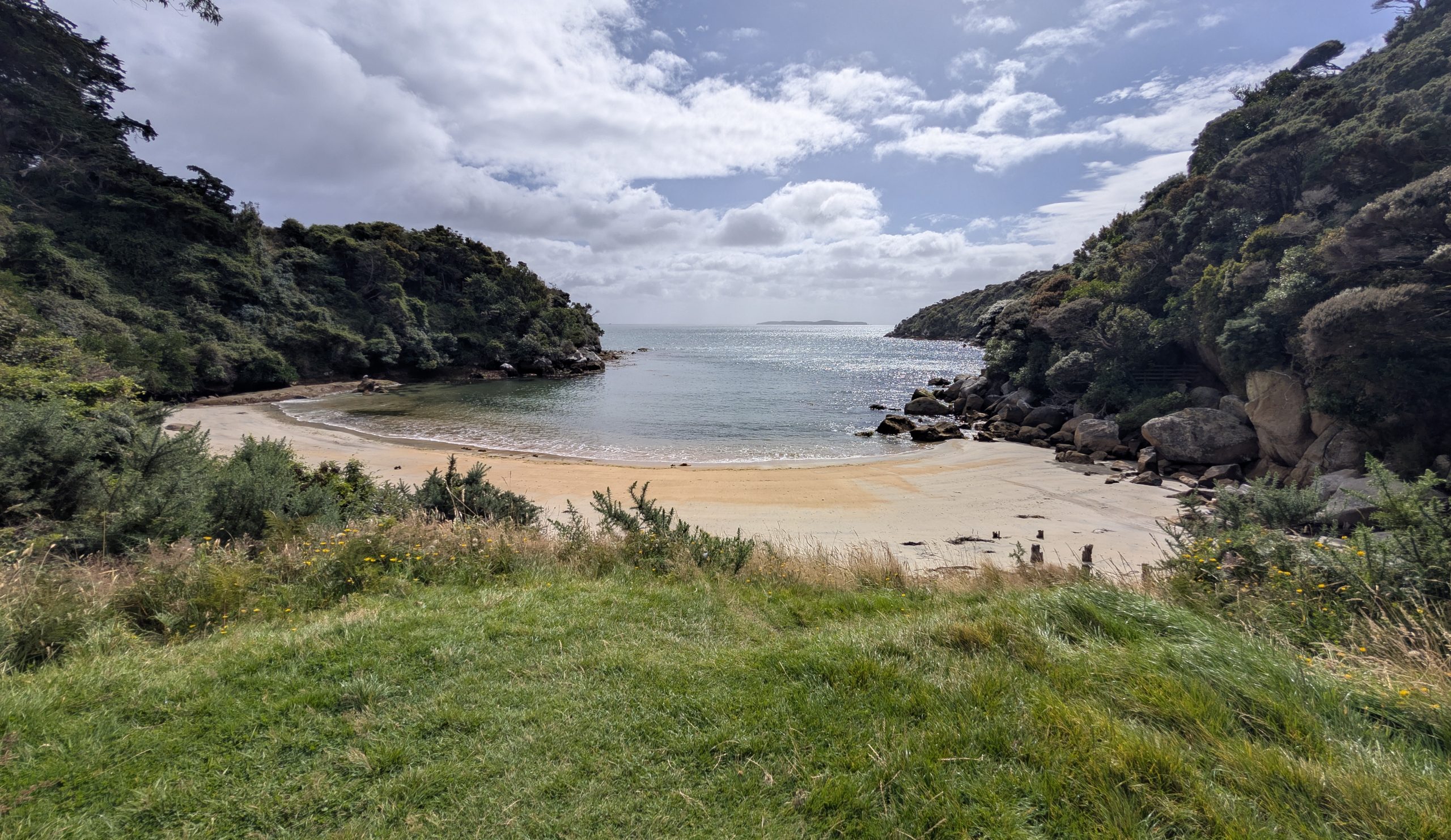
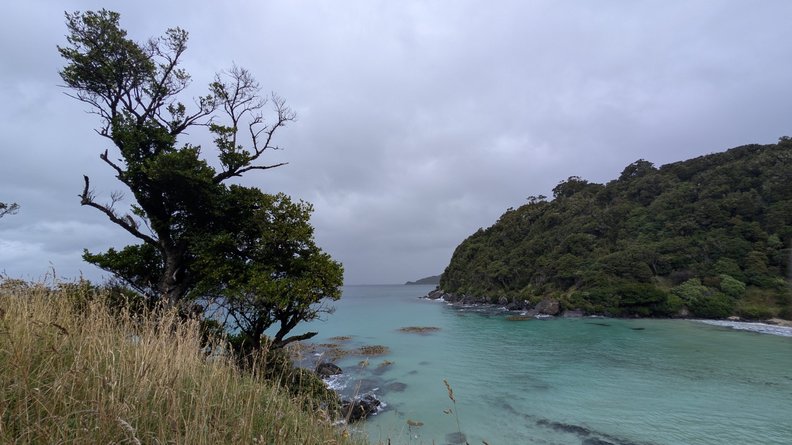
The trail descended steeply with many steps down to Dead Man Beach, which was very pretty. By then it was raining a bit harder.
The trail climbed uphill past the beach, but it was not nearly as steep on that side. I continued to climb gradually higher on the trail until finally I reached Horseshoe Point. By that time it was raining even harder, and I was very thankful for my rain gear. I did not stay very long at the point since it was raining, windy and generally miserable conditions.
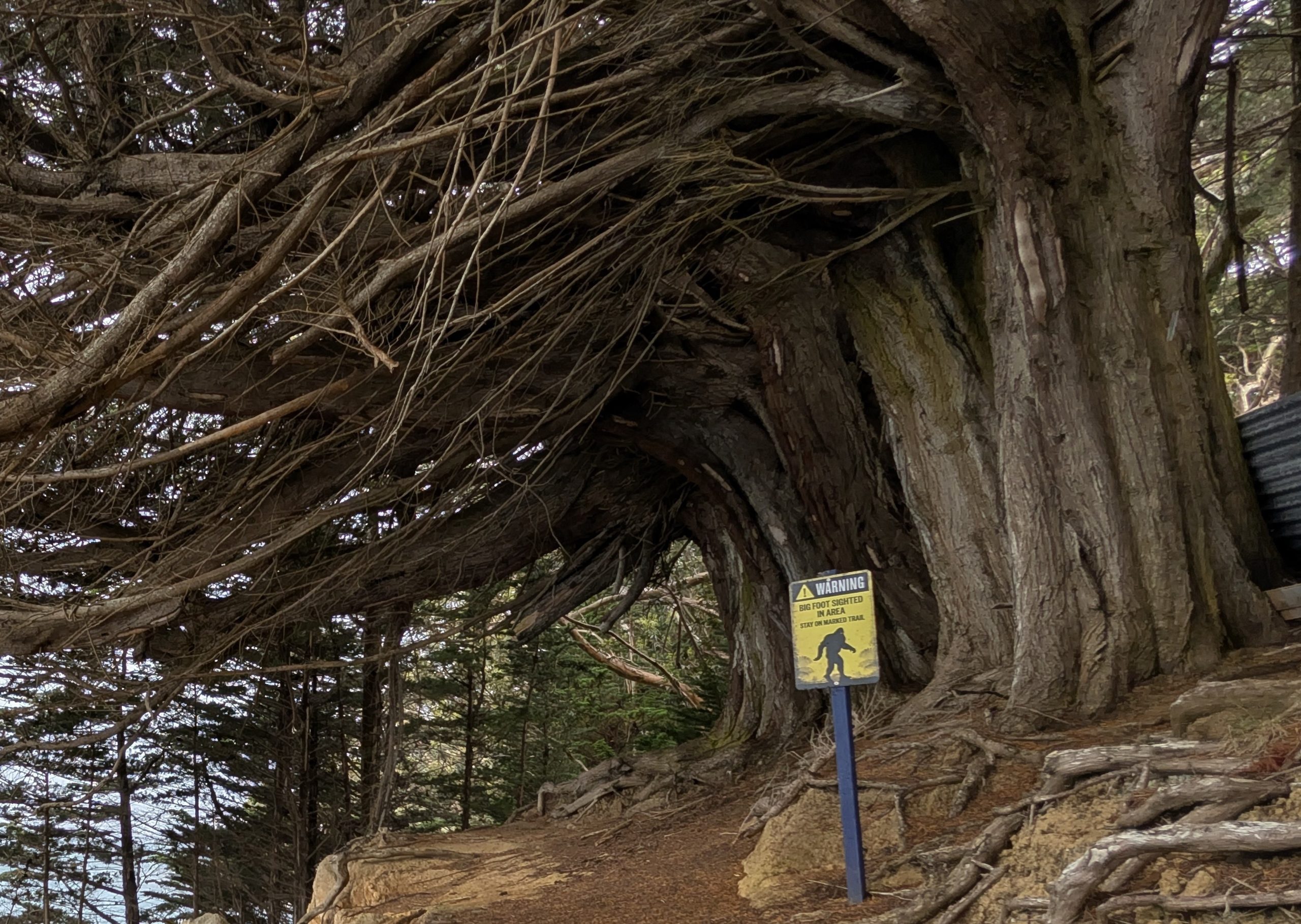
I continued on the trail, descending down gradually to Horseshoe Bay. It continued to rain steadily. Fortunately the downhill trail was much easier than going up. It ended at Horseshoe Point Road, which was a dirt road that followed the shore of Horseshoe Bay. At the start of the dirt road was a funny sign.
Finally I reached the end of the dirt road where it intersected with the main Horseshoe Bay Road. I was able to follow the main road about 2 miles all the way back to town.
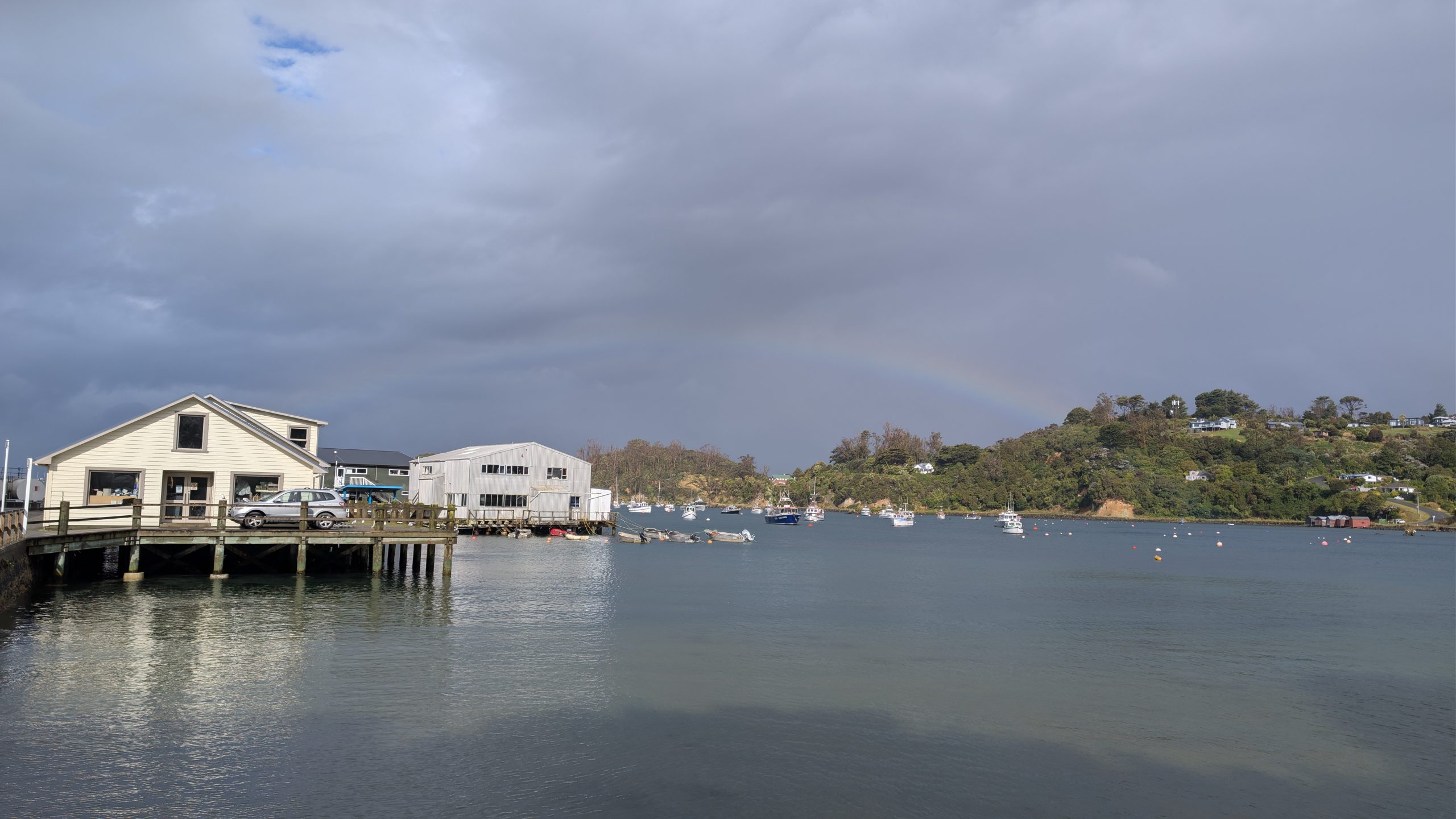
It continued to rain steadily as I walked along the main road, and finally the rain let up just as I approached town. The sun came out and there was a rainbow. By the time I reached town there were actually patches of blue in the sky.
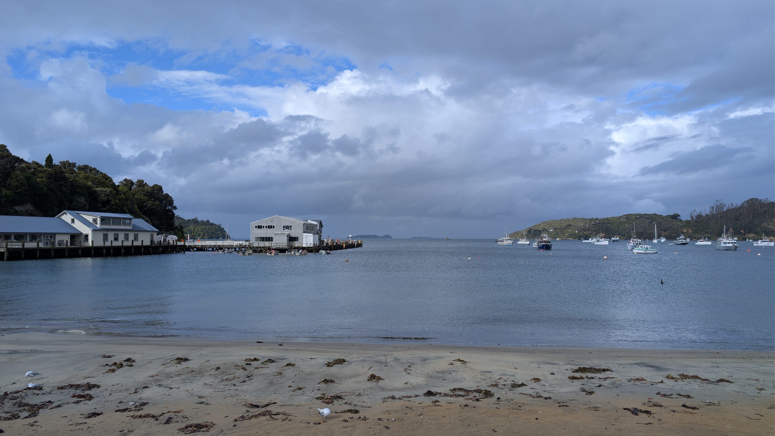
I went back to the room and dried out. My boots and socks were soaked. After changing into dry clothes, I walked over to the hotel restaurant with Heinrich to eat dinner. It was a nice evening with partly cloudy skies.
After dark I ventured out one more time, hoping to spot a kiwi on my own. I had brought a small red flashlight which I soon discovered was not nearly bright enough to be of much use. I walked to Traill Park. I had been told this was a good place to look since it has a large grassy field that kiwis like for finding worms to eat. Apparently I wasn't the only person with this idea since I ran into a few others with red flashlights.
While I was in the park, I looked up and saw stars! It looked almost completely clear. Too bad there was no aurora. But the nice weather was short lived. 15 minutes later it started drizzling rain.
My search for kiwi was in vain, and I decided to head back to the room. I was looking for the Fuchsia Walk which should have brought me back close to the hotel. Somehow I got turned around and ended up on the Raroa Walk which headed in the opposite direction toward Golden Bay. I didn't realize my mistake until I got all of the way to the end of the trail and saw the signs to Golden Bay. I followed the main road back to the hotel, which was a 20-minute walk from there. Another late night out.