Posted on

2026 Day 39 Whakapapa/Tongariro National Park to Rotorua


March 2, 2026

Map: Day 39

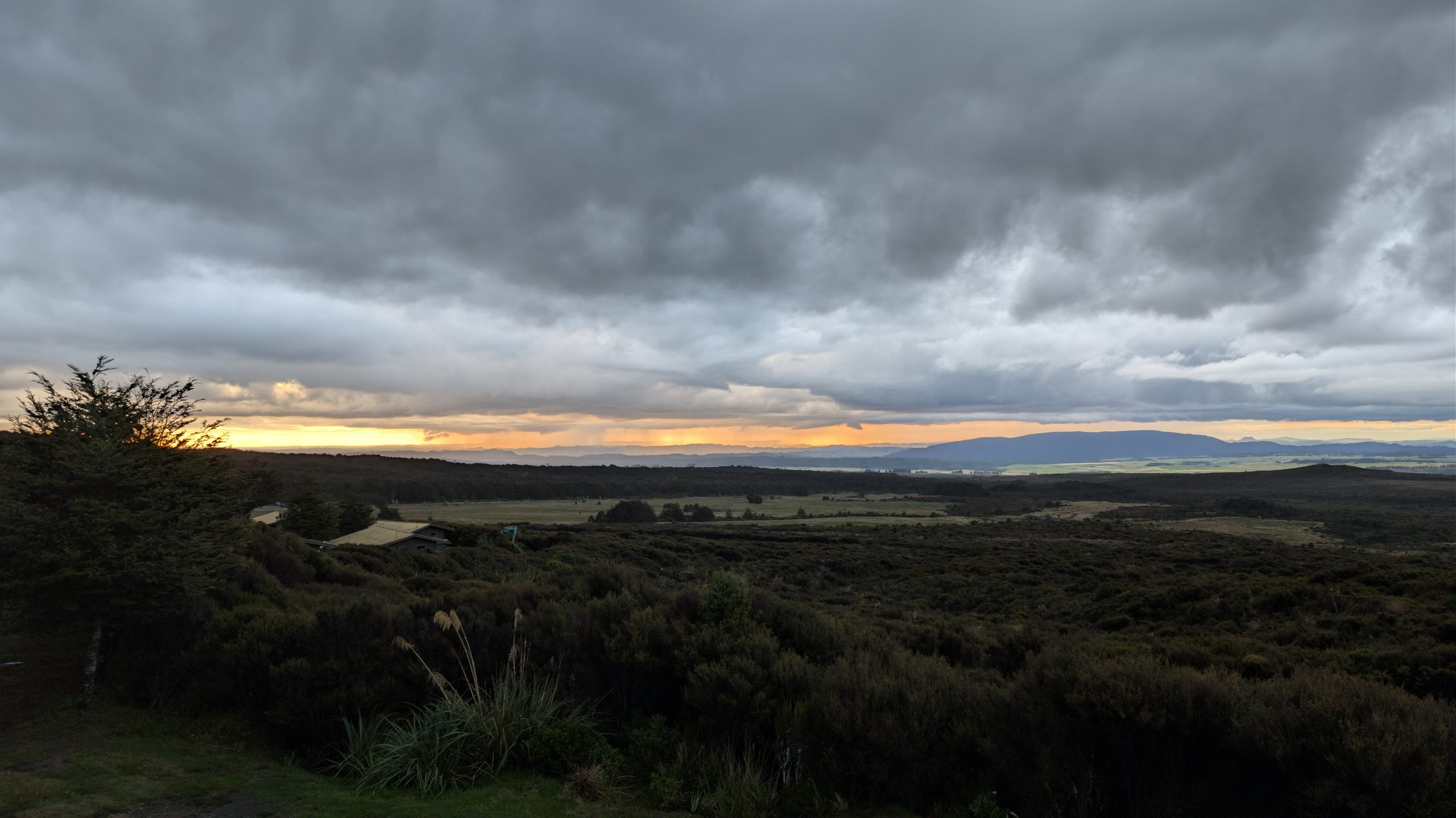
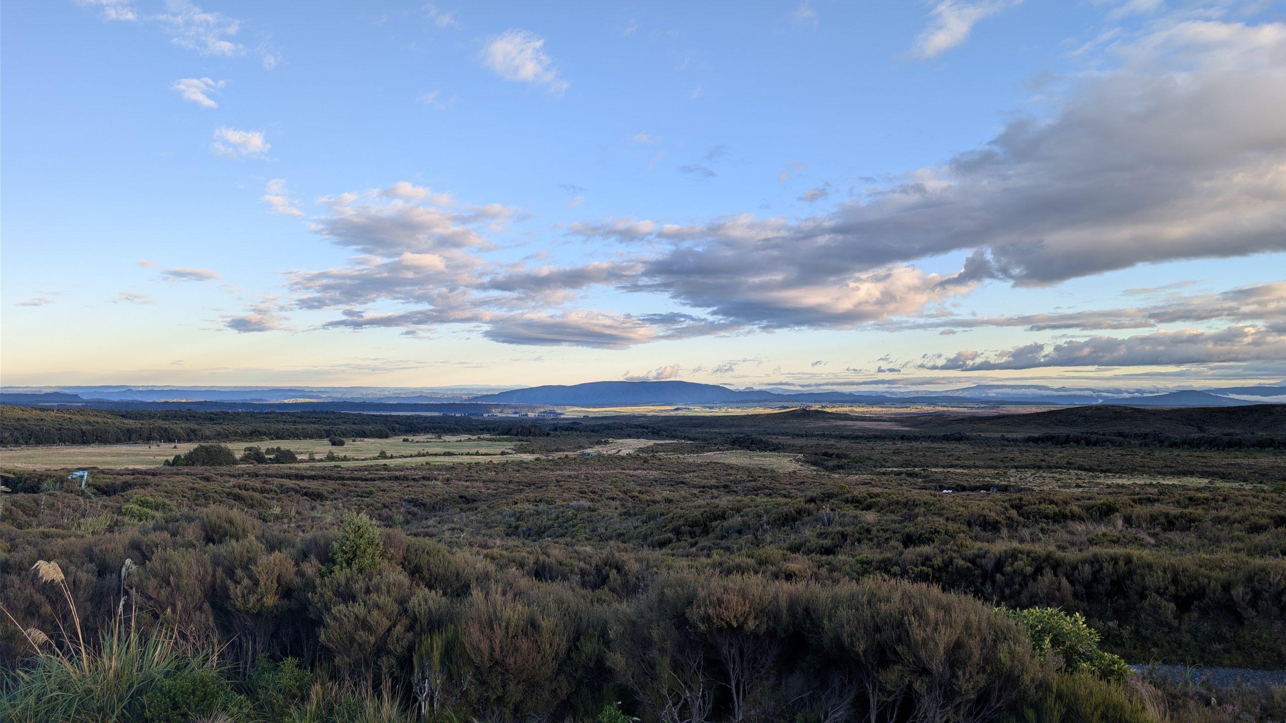
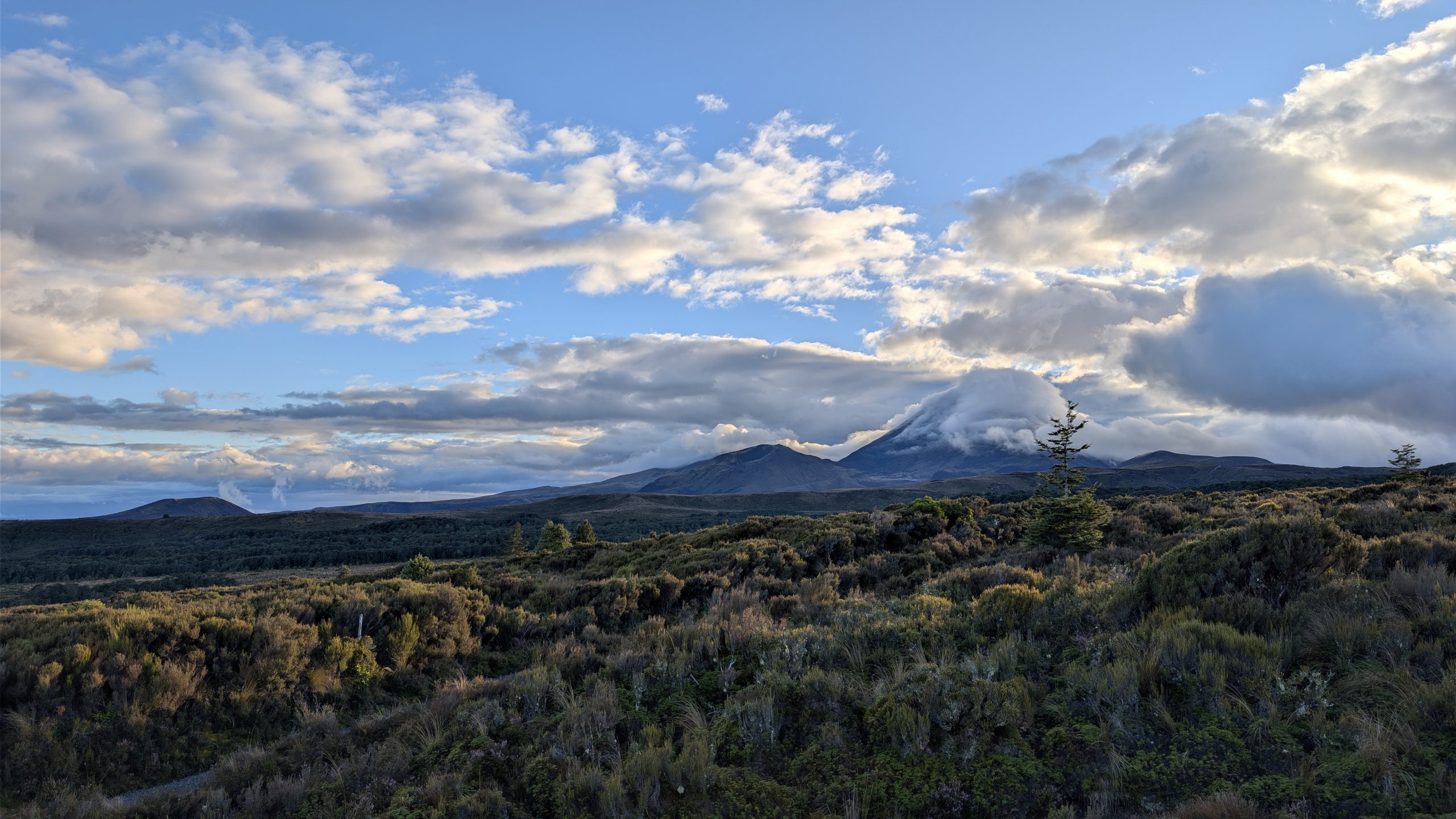
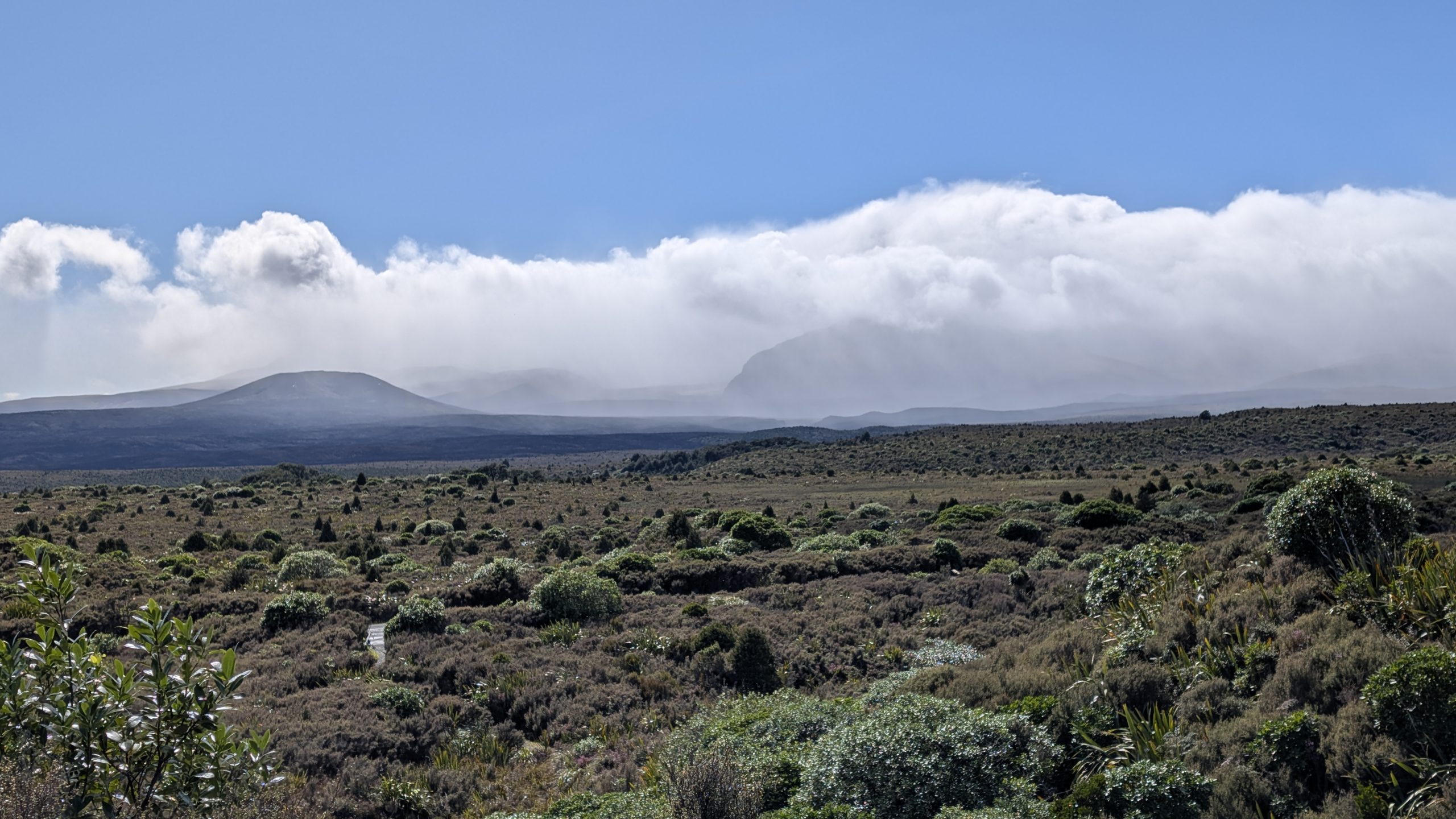
The temperature was cold when we woke up, and snow had been predicted on the mountain peaks. The view outside of our room showed partly cloudy skies except for over the mountains which were hidden as usual.

Morning view from our room
Clouds were passing quickly over Mount Ngauruhoe

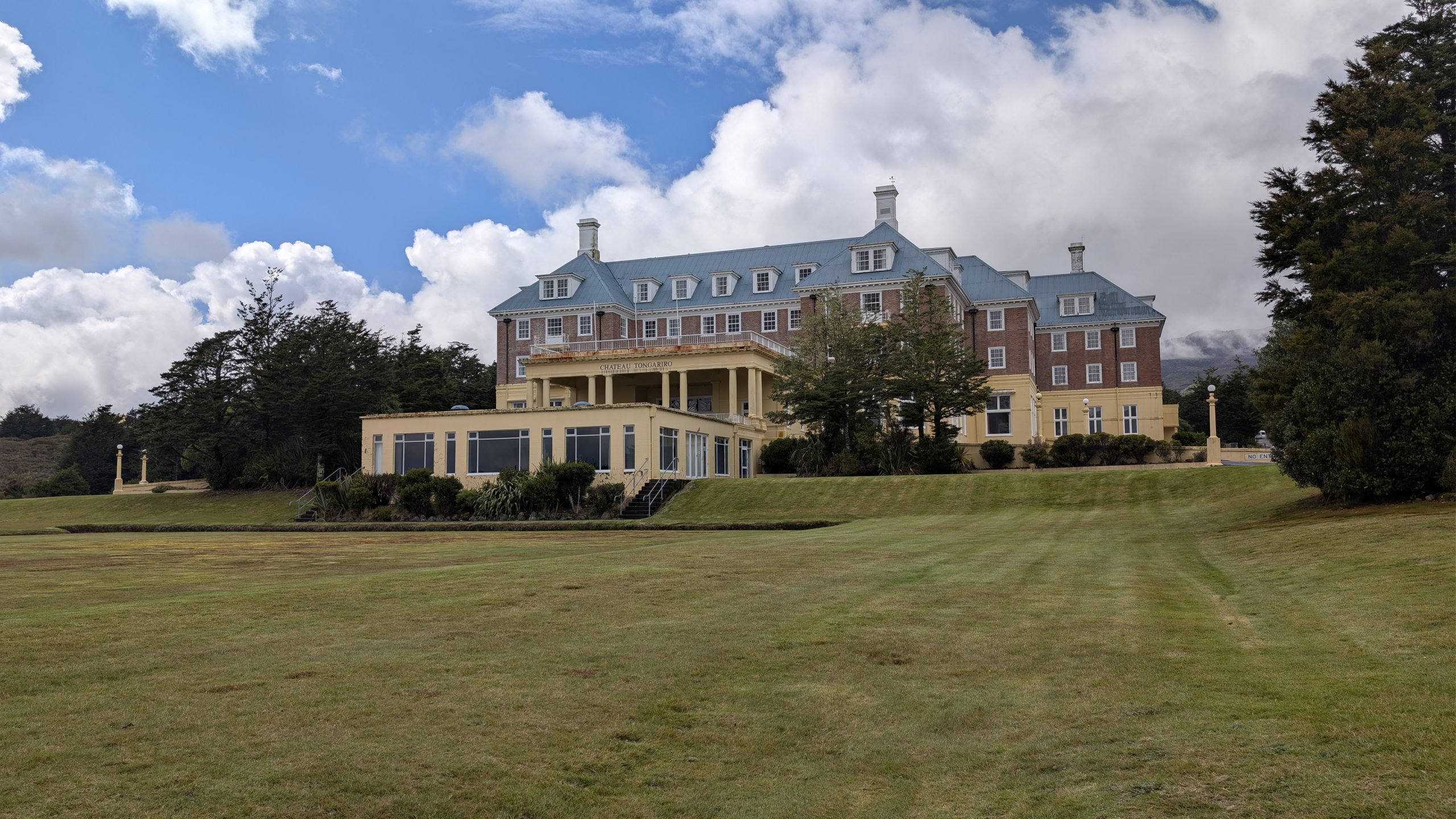
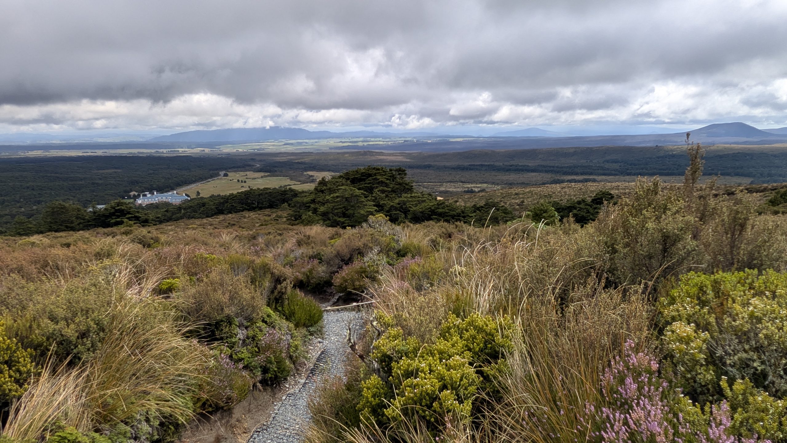
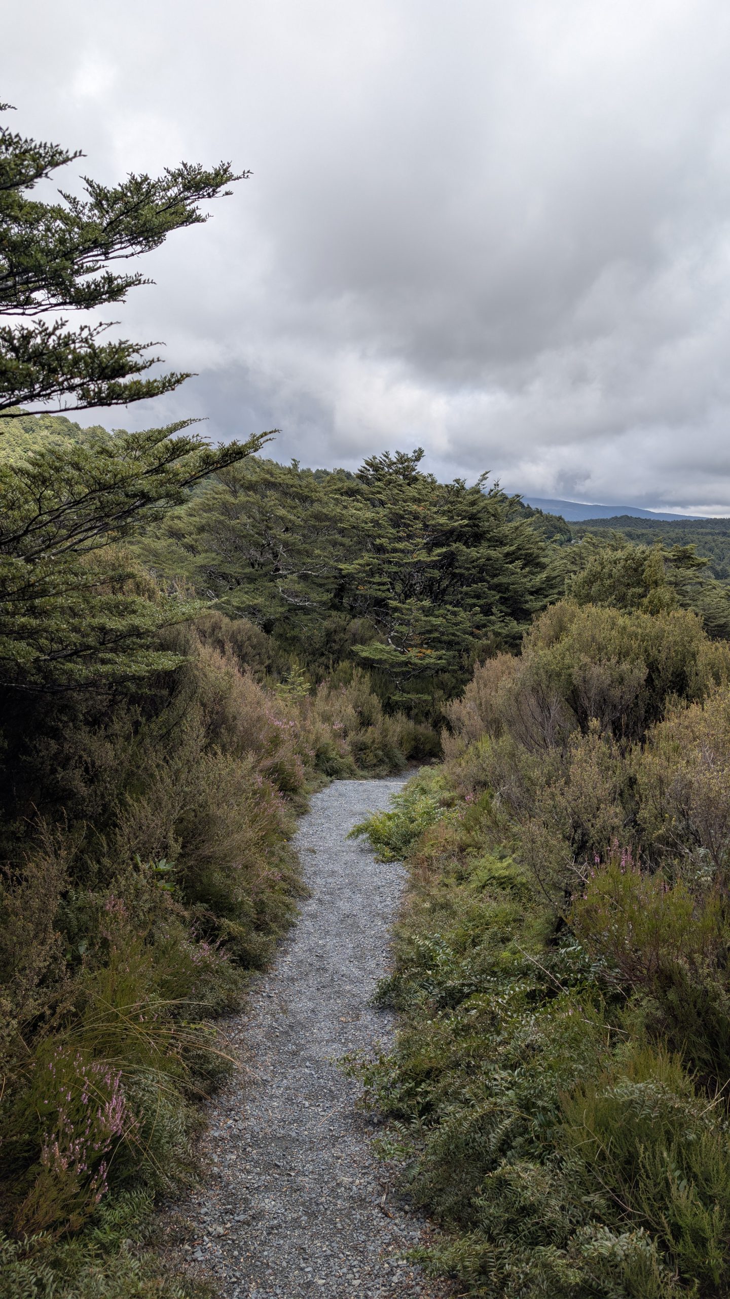
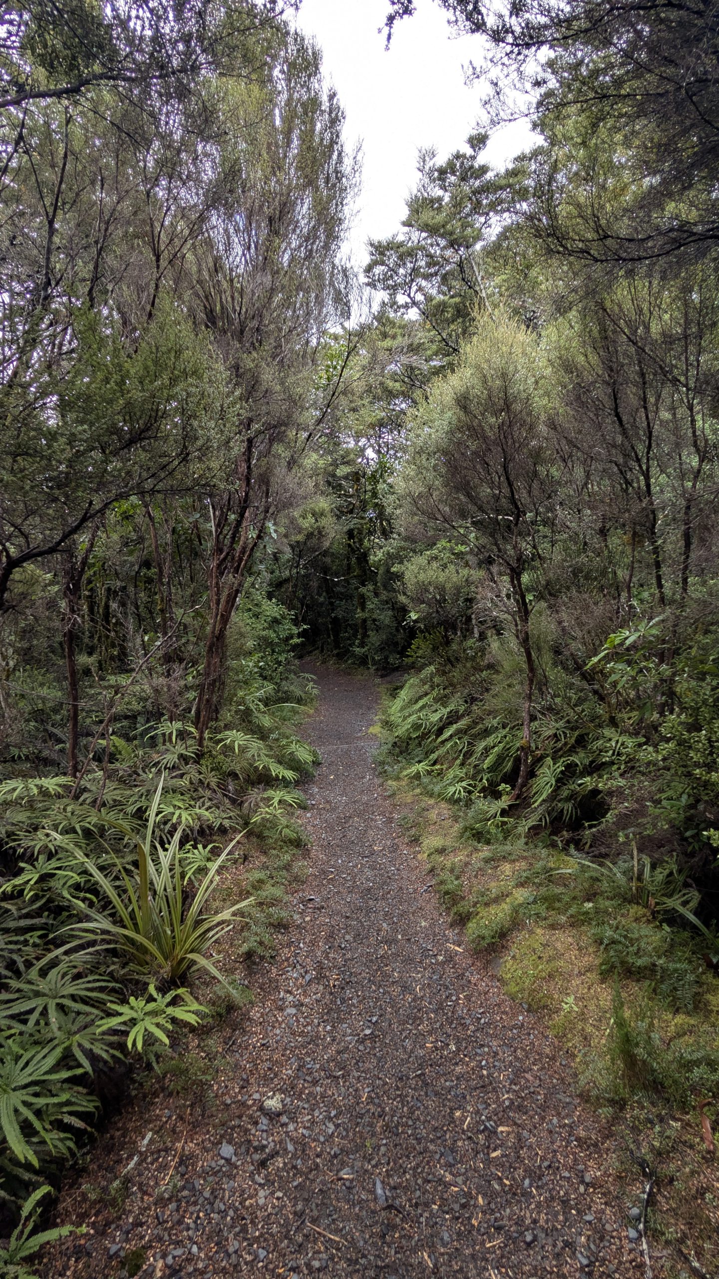
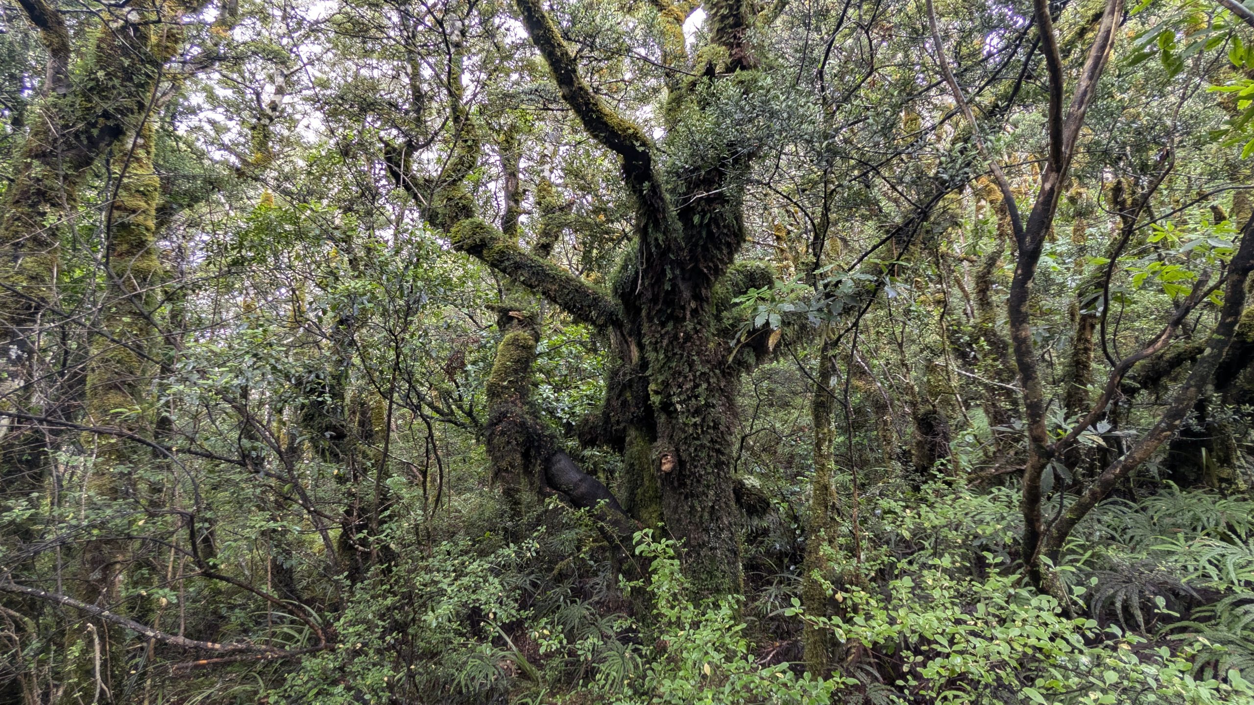
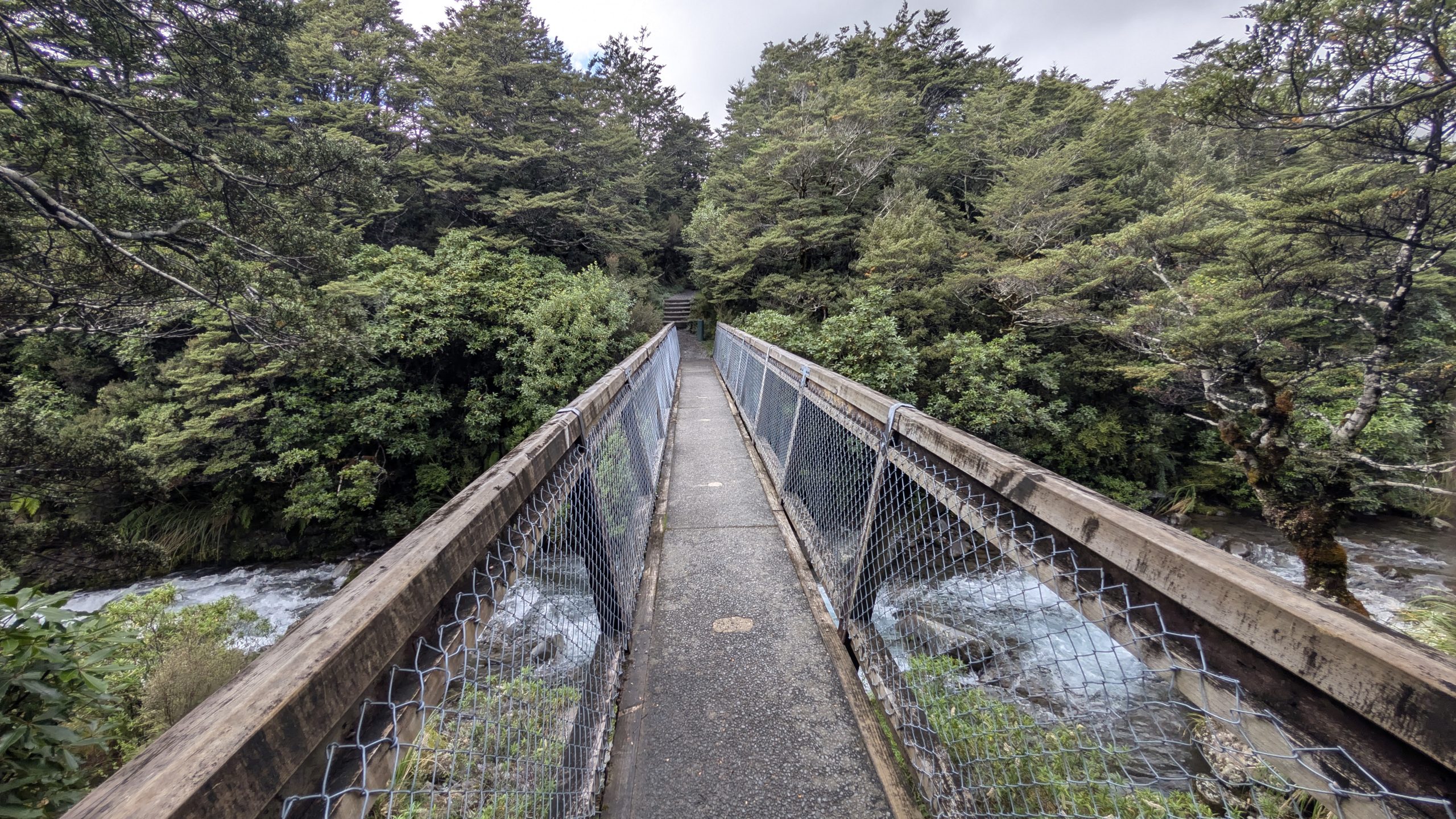
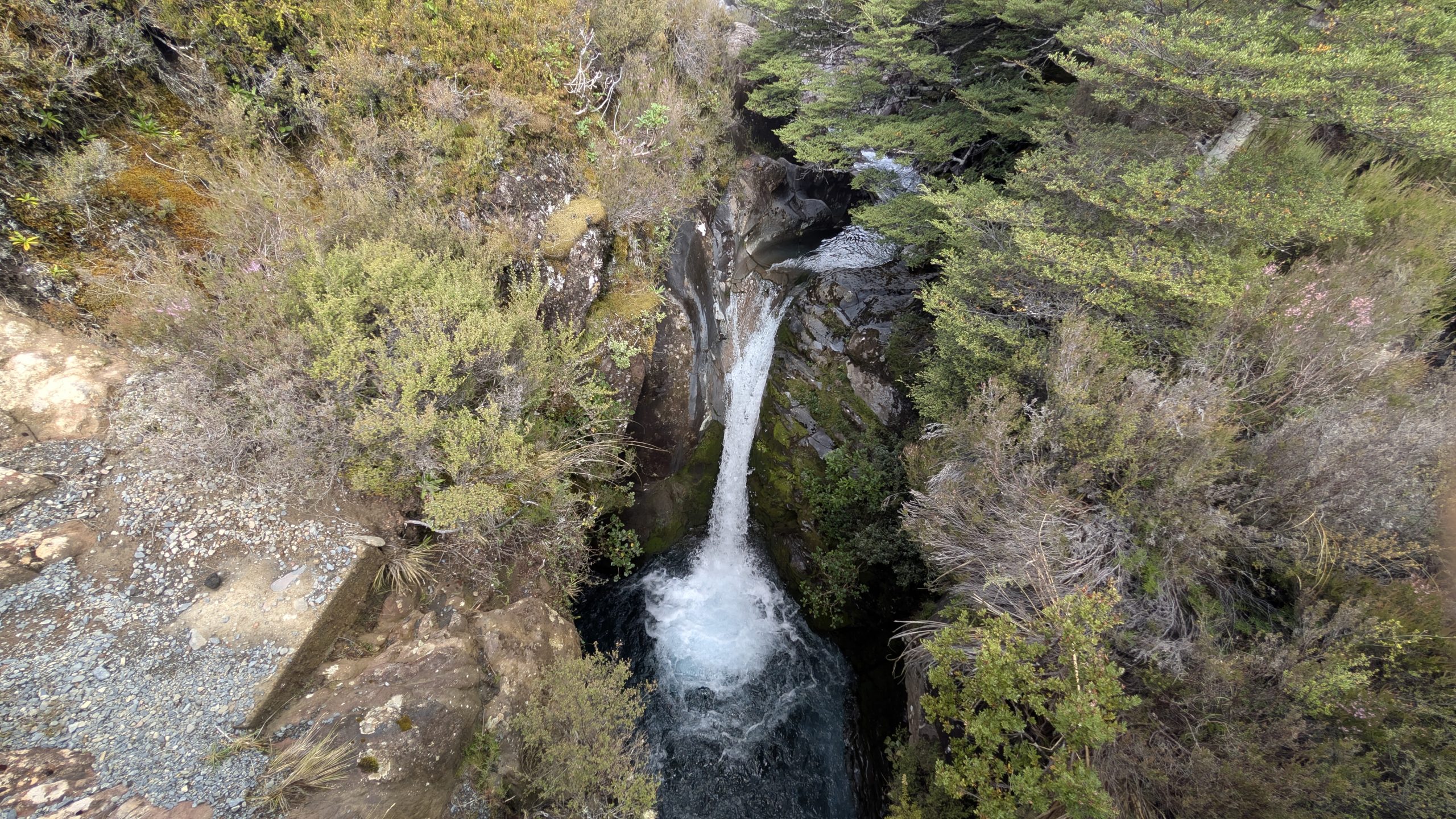
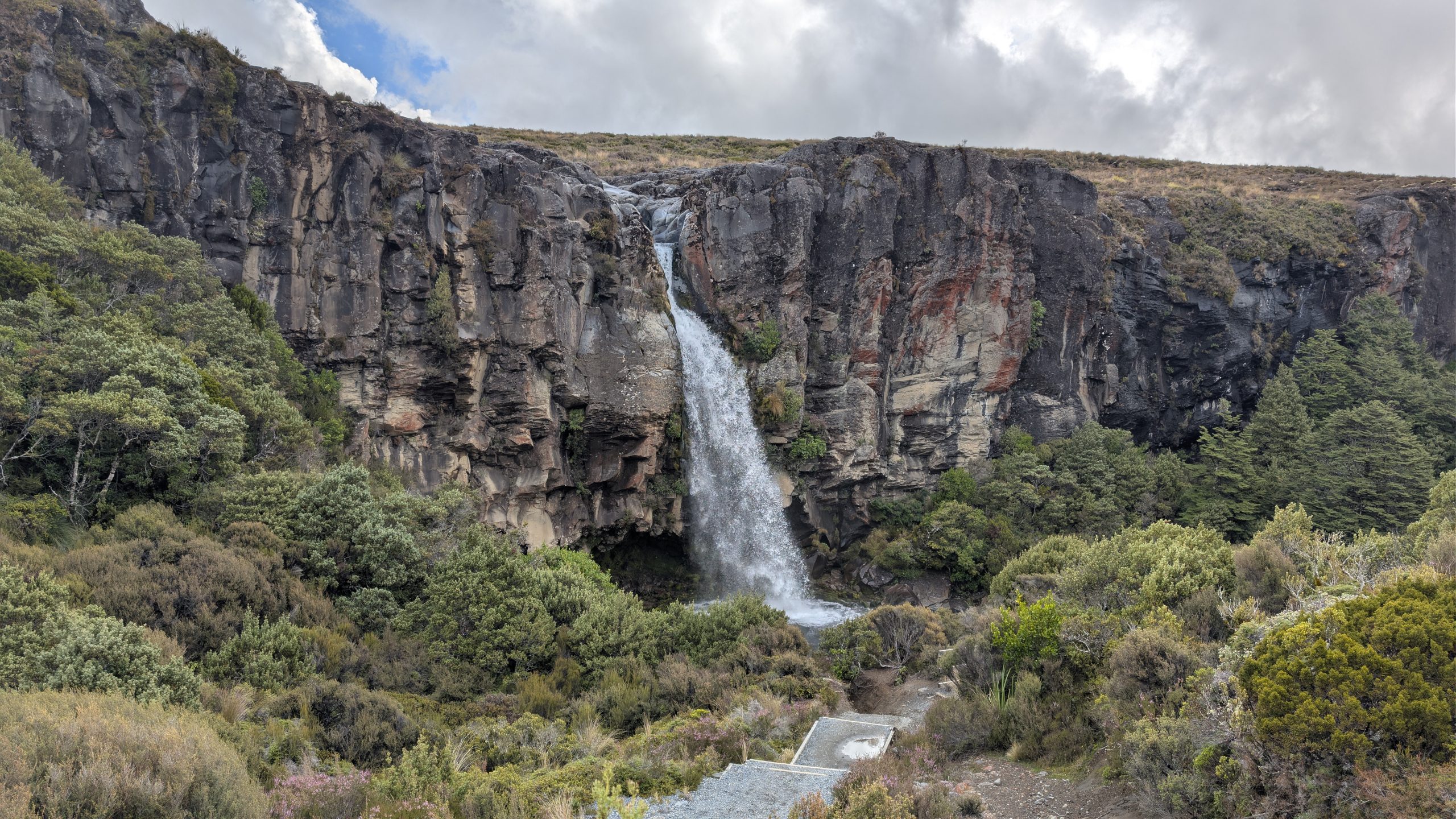
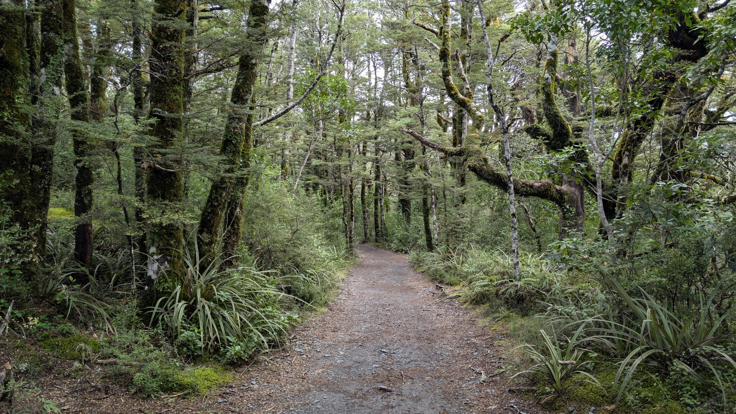
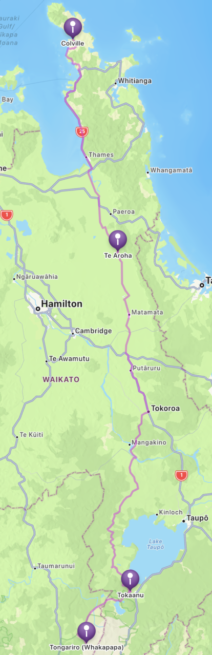
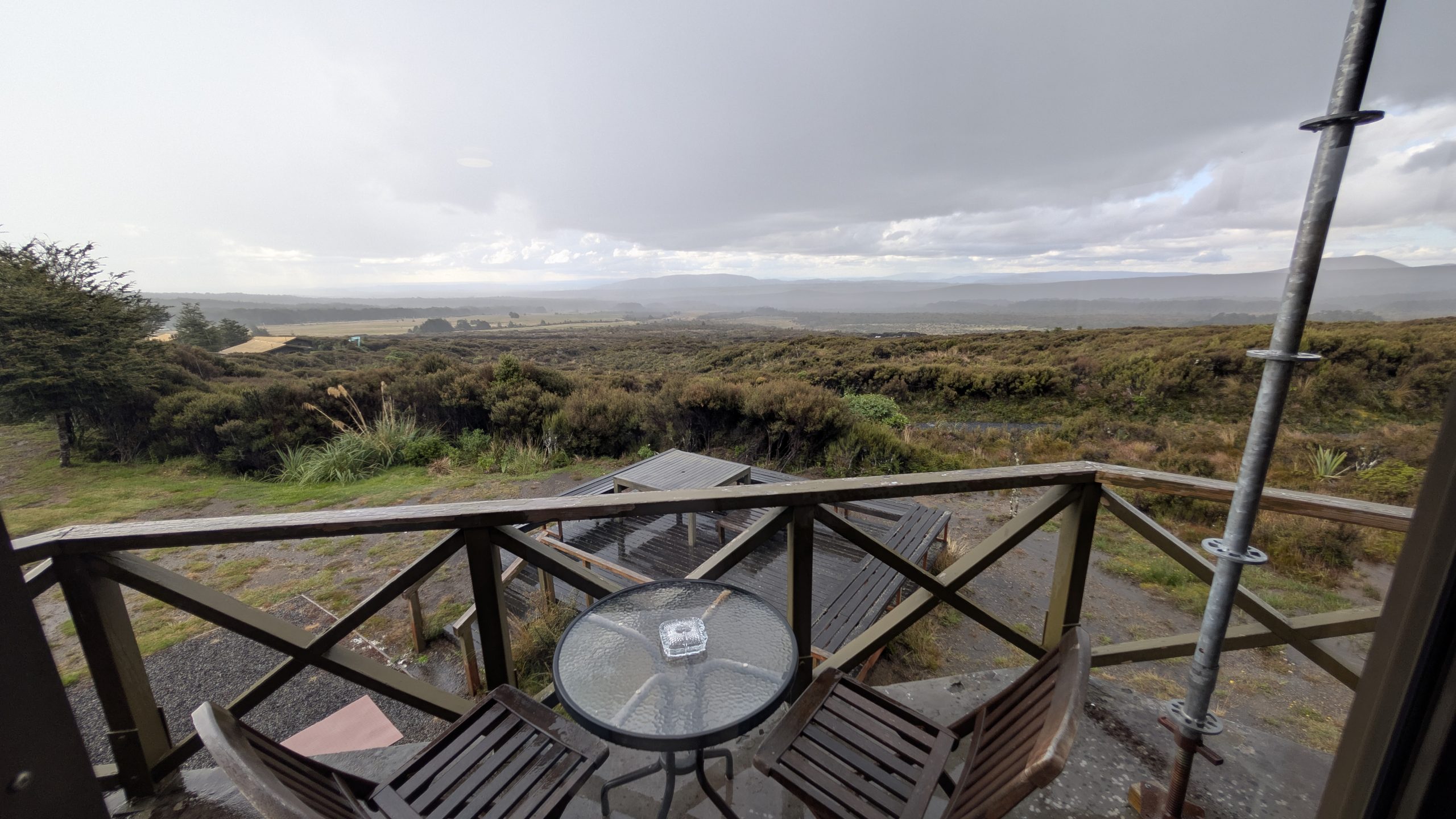
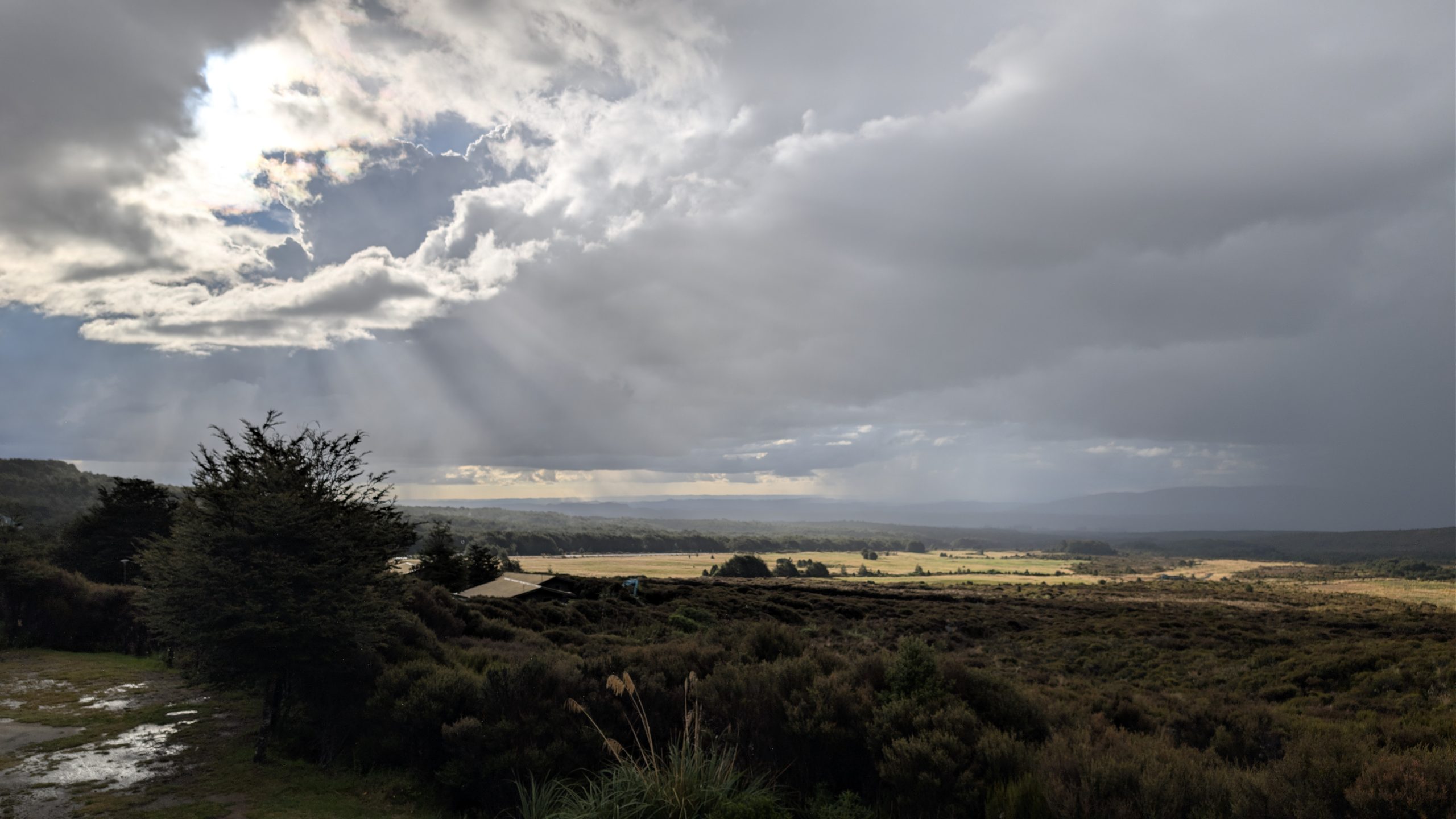
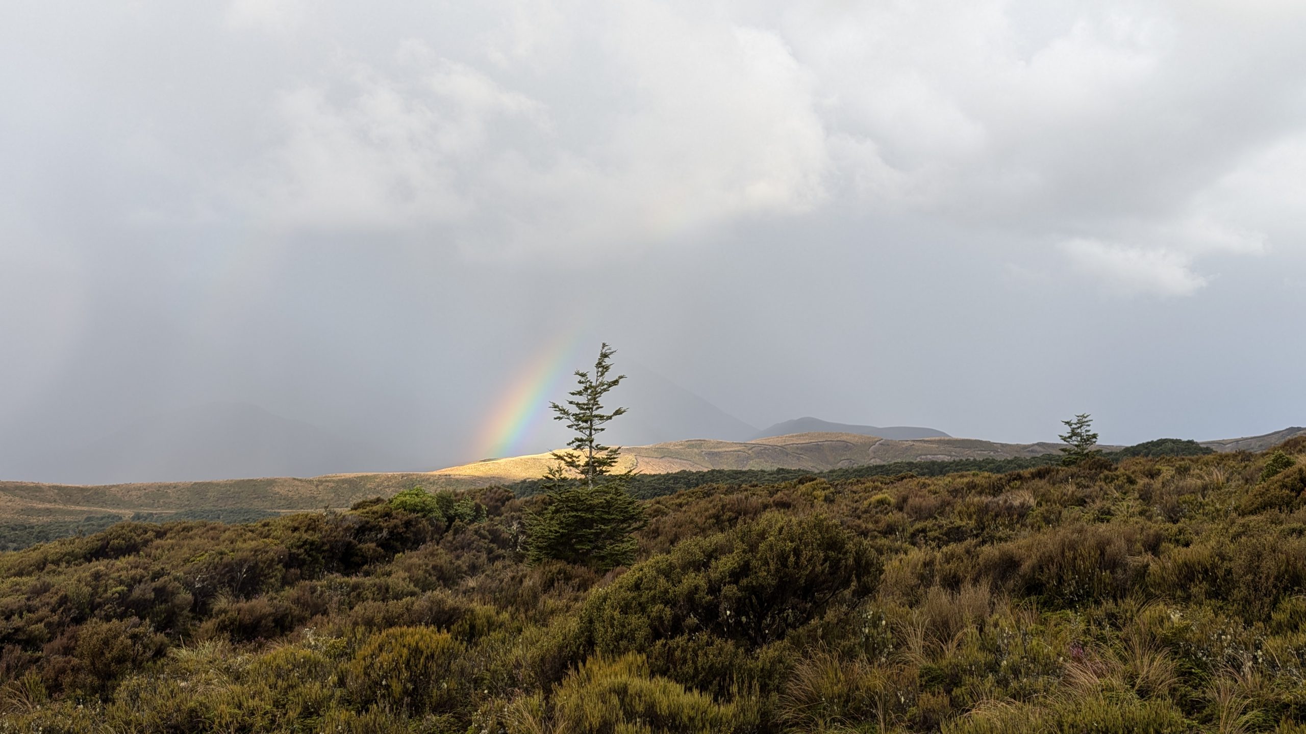
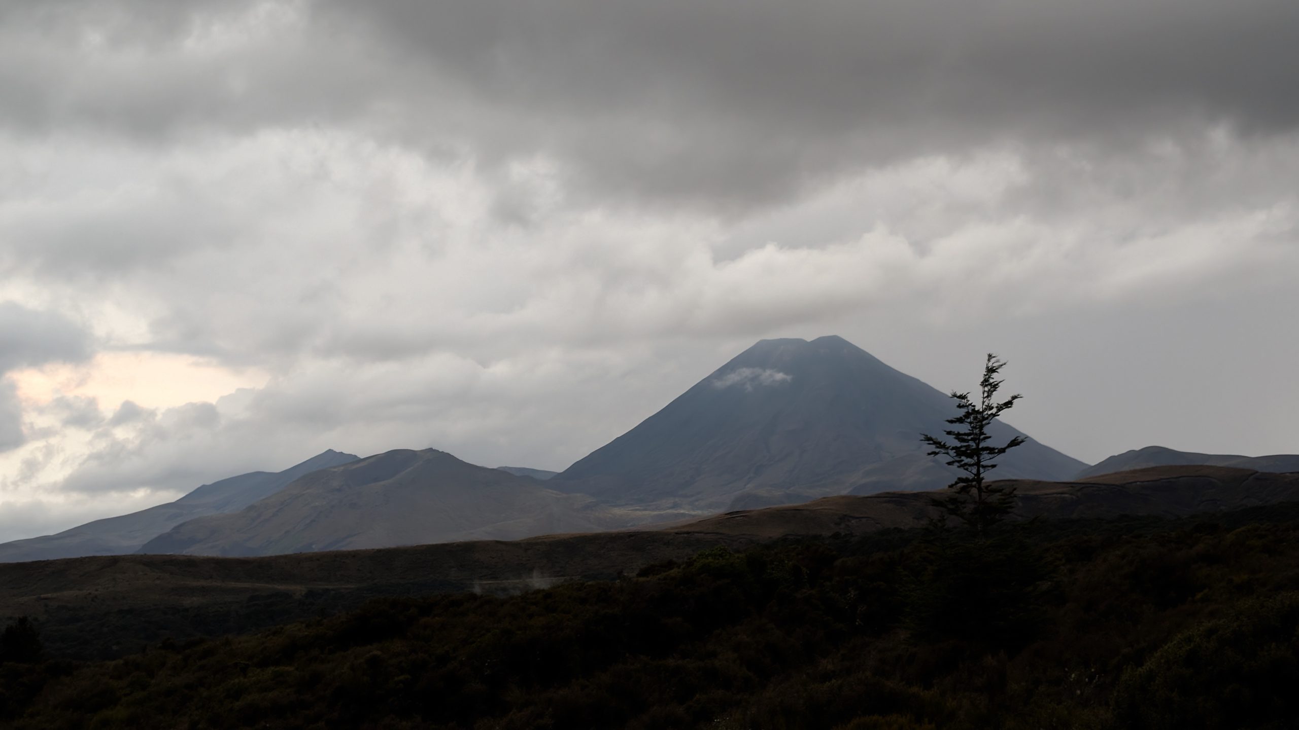
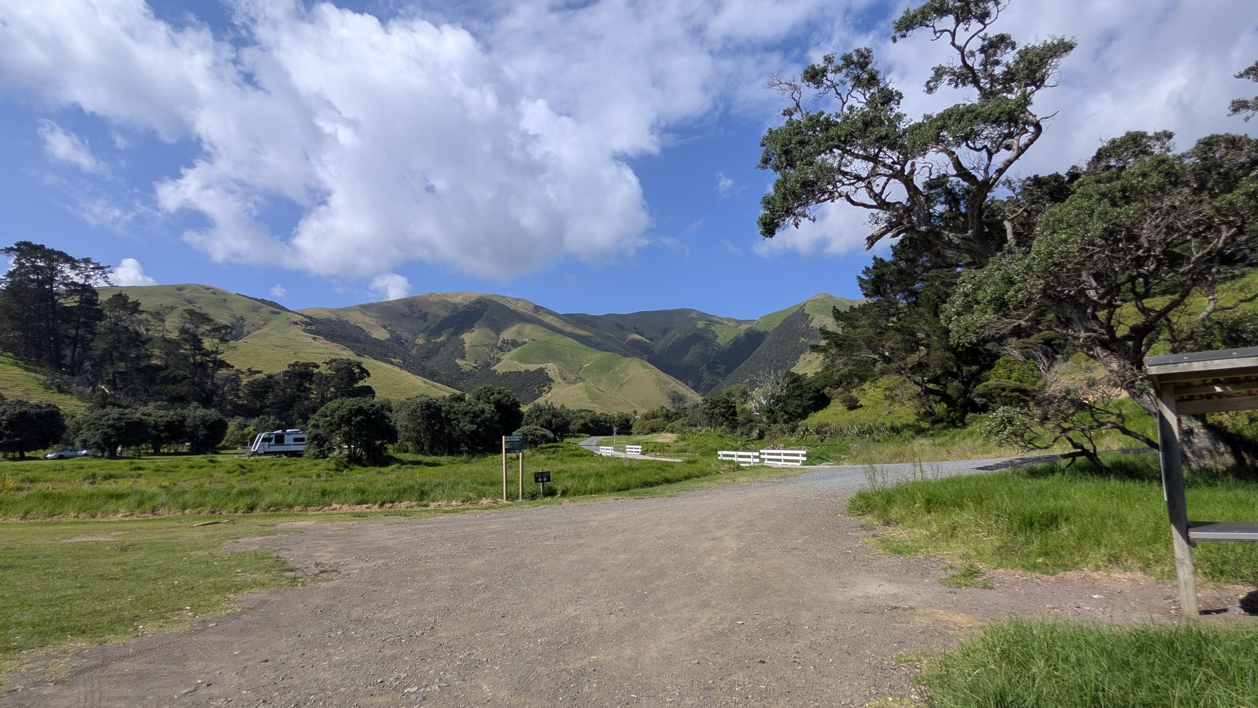
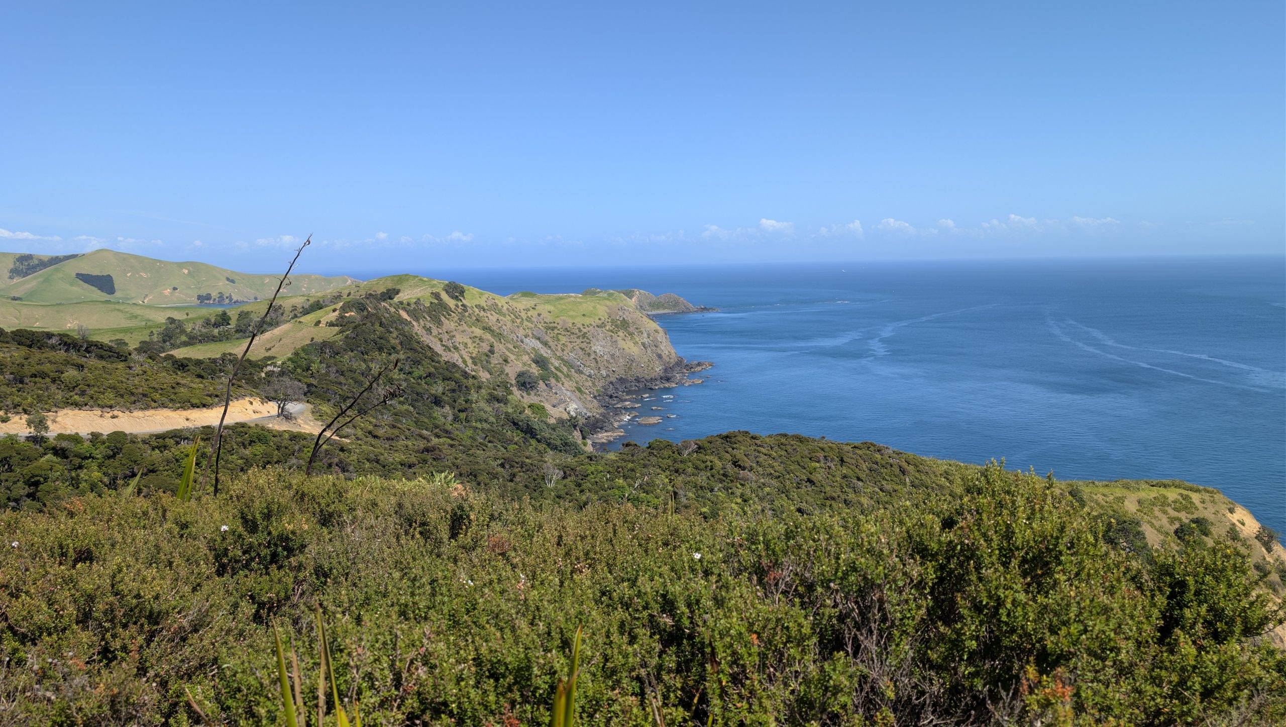
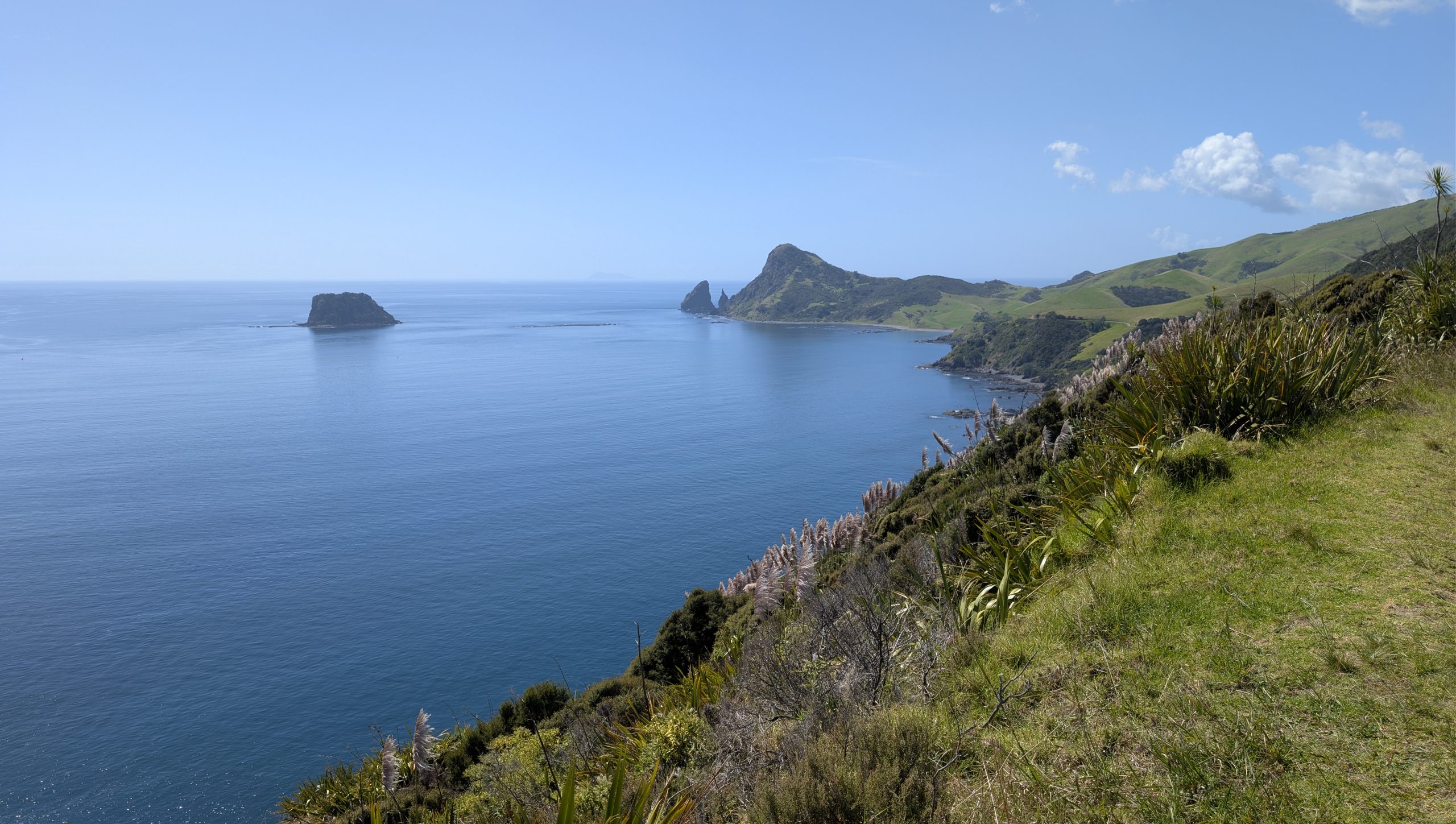
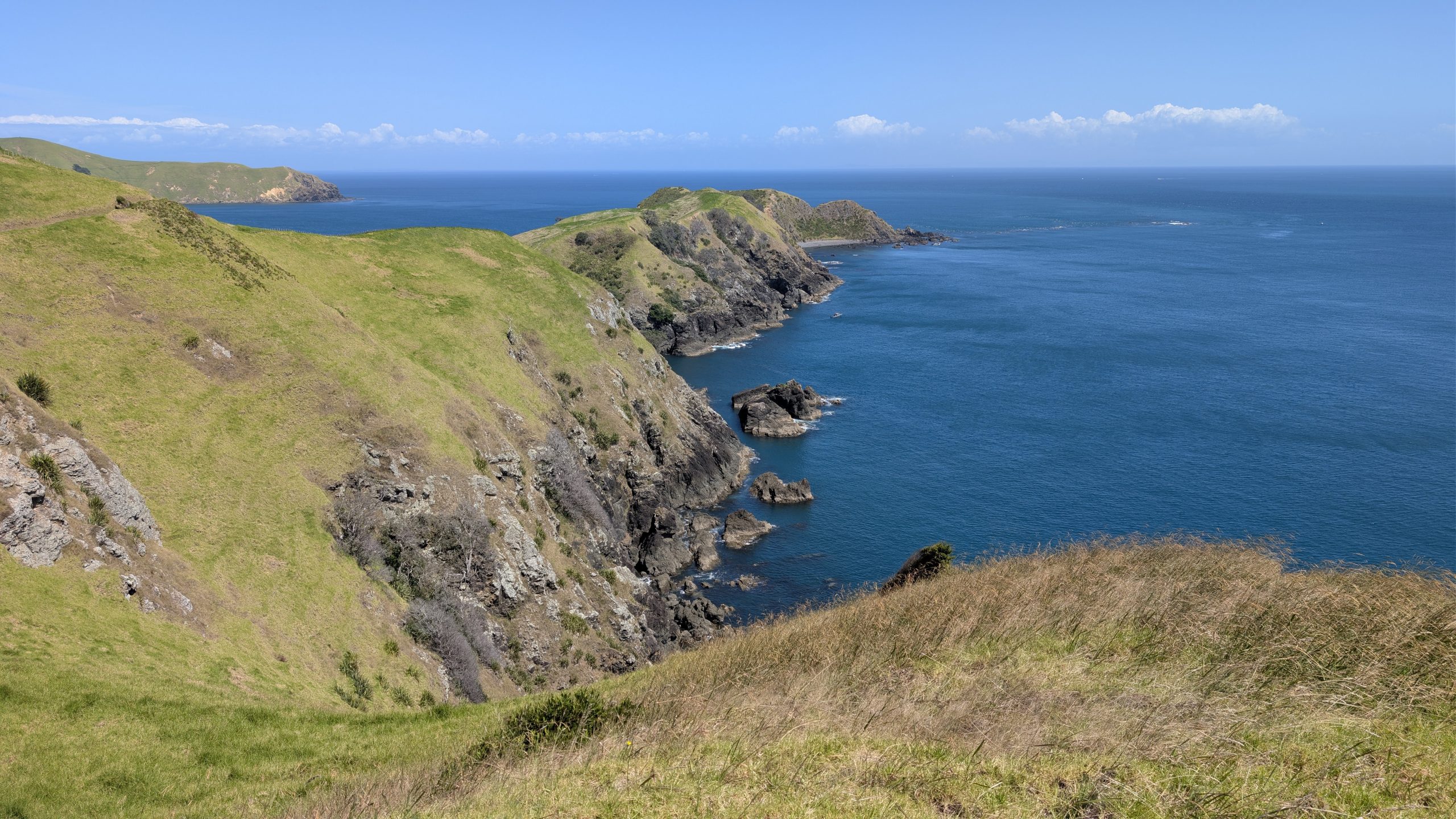
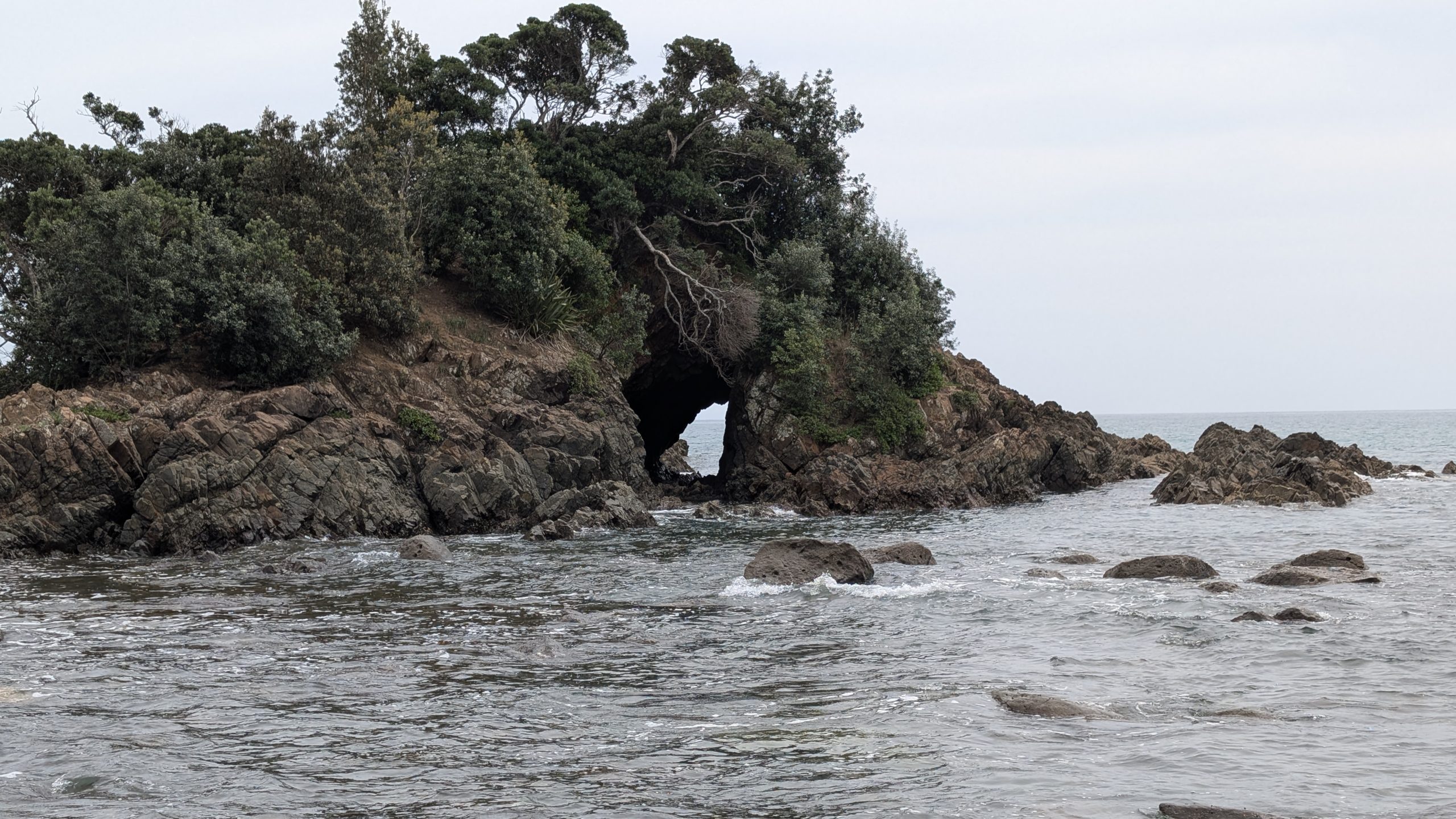
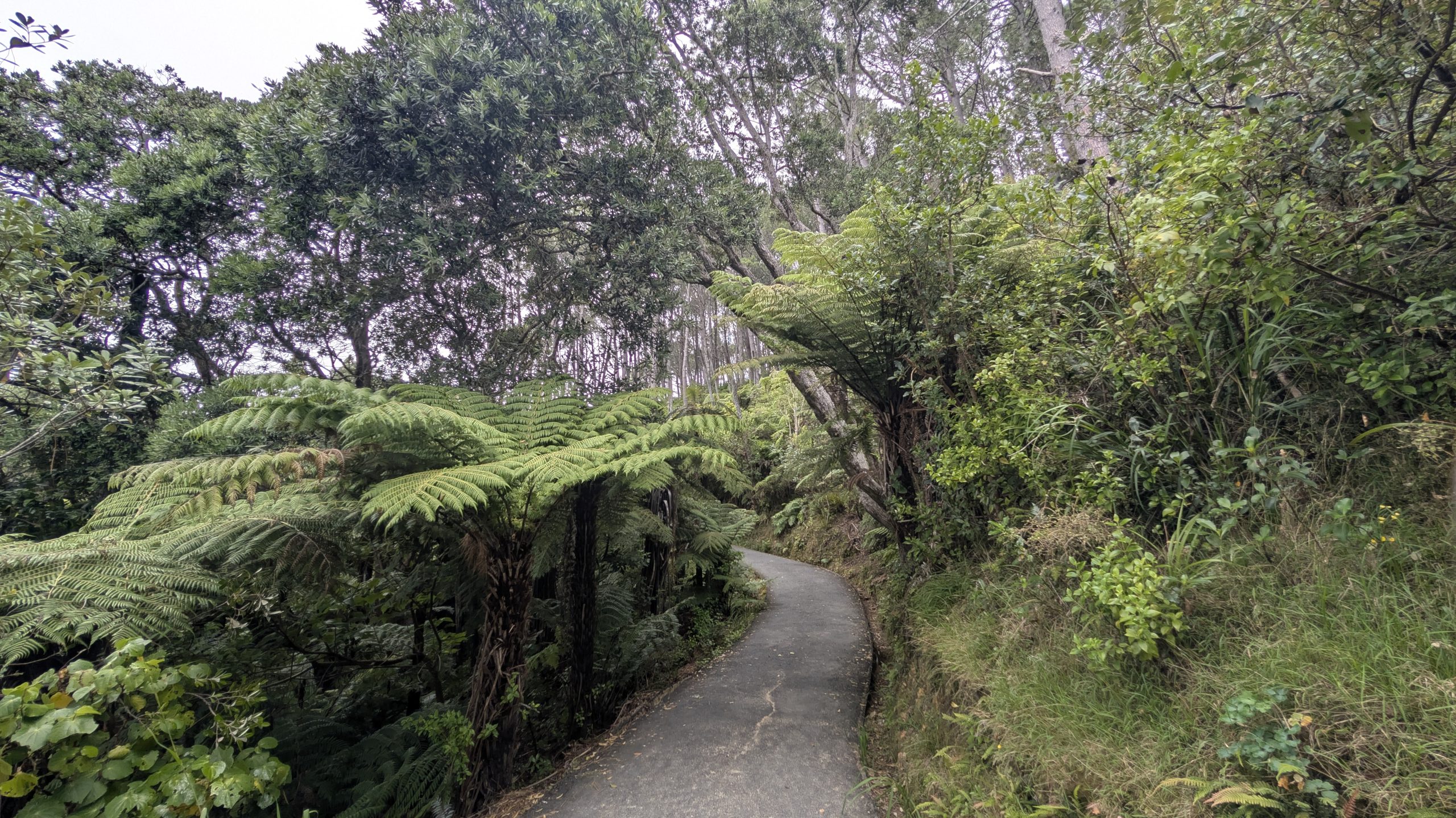
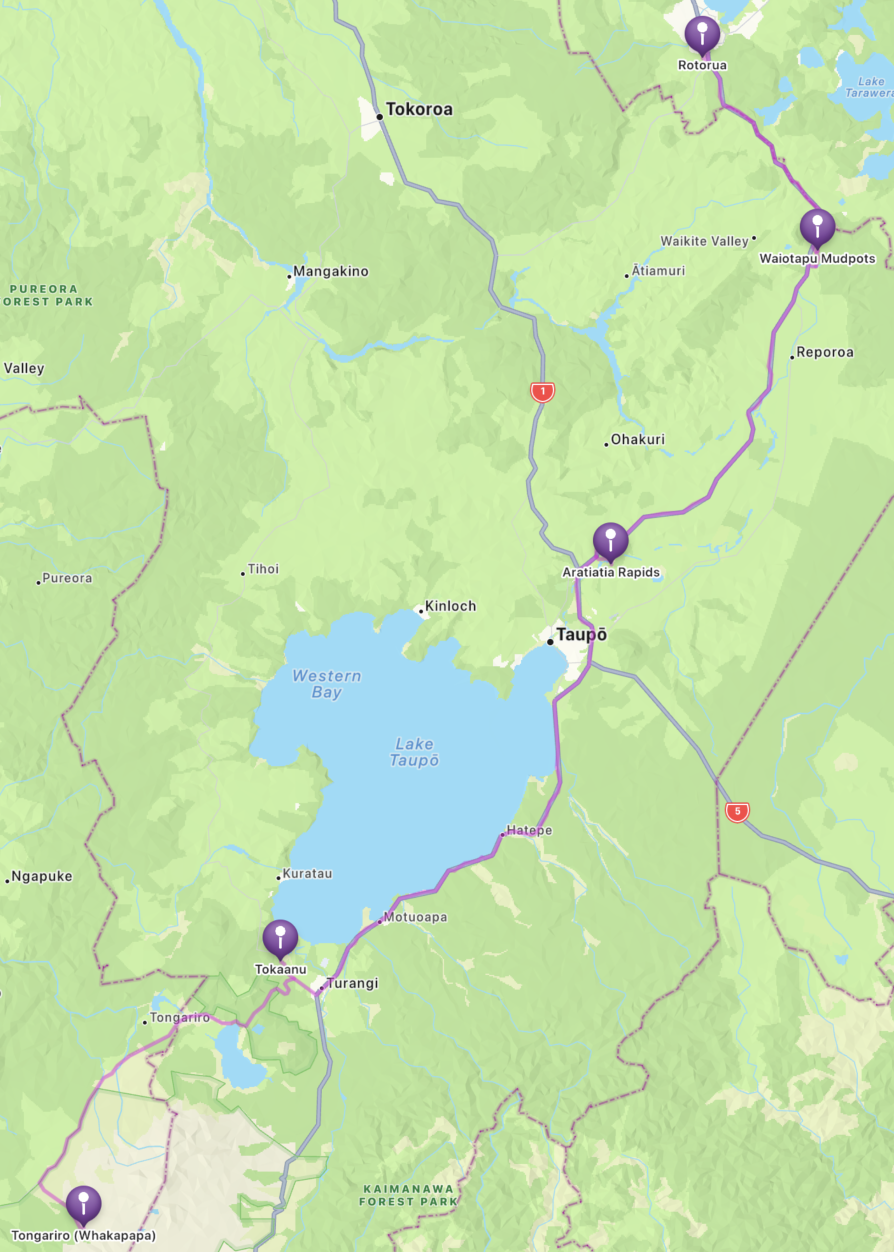
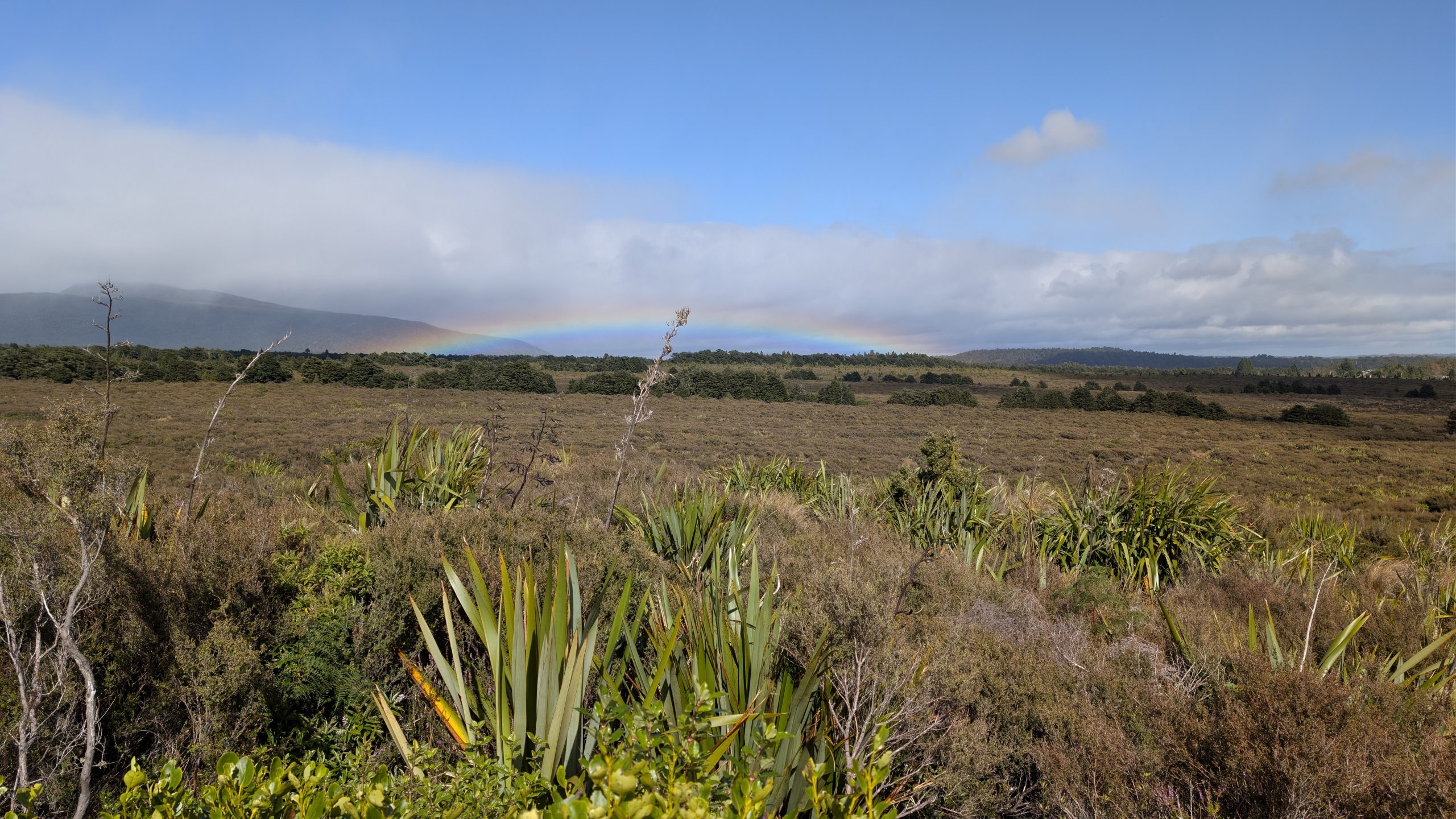
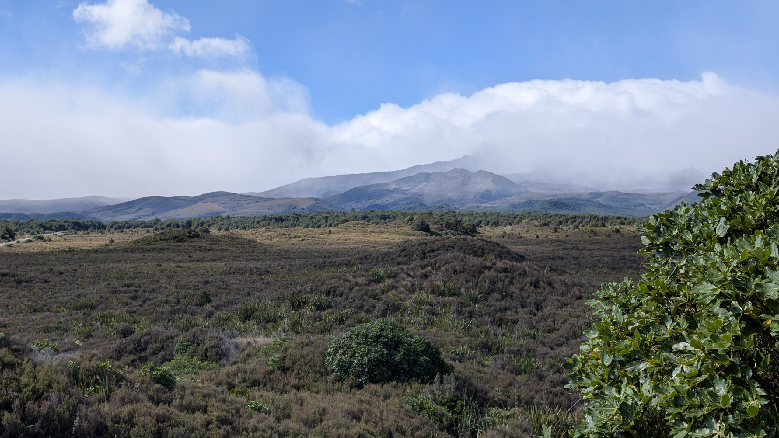
We had the breakfast buffet at the lodge, which was very good, and then we packed up to leave for Rotorua. On the way out of the park we stopped to take the short Mounds Walk which had a nice view of the cloud covered mountains. We could see some bad weather in the distance, and there was a little rainbow at the viewing point at the end of the trail.

Rainbow on the Mounds Walk
Bad weather starting to come in
View of the cloud covered Mount Ruapehu

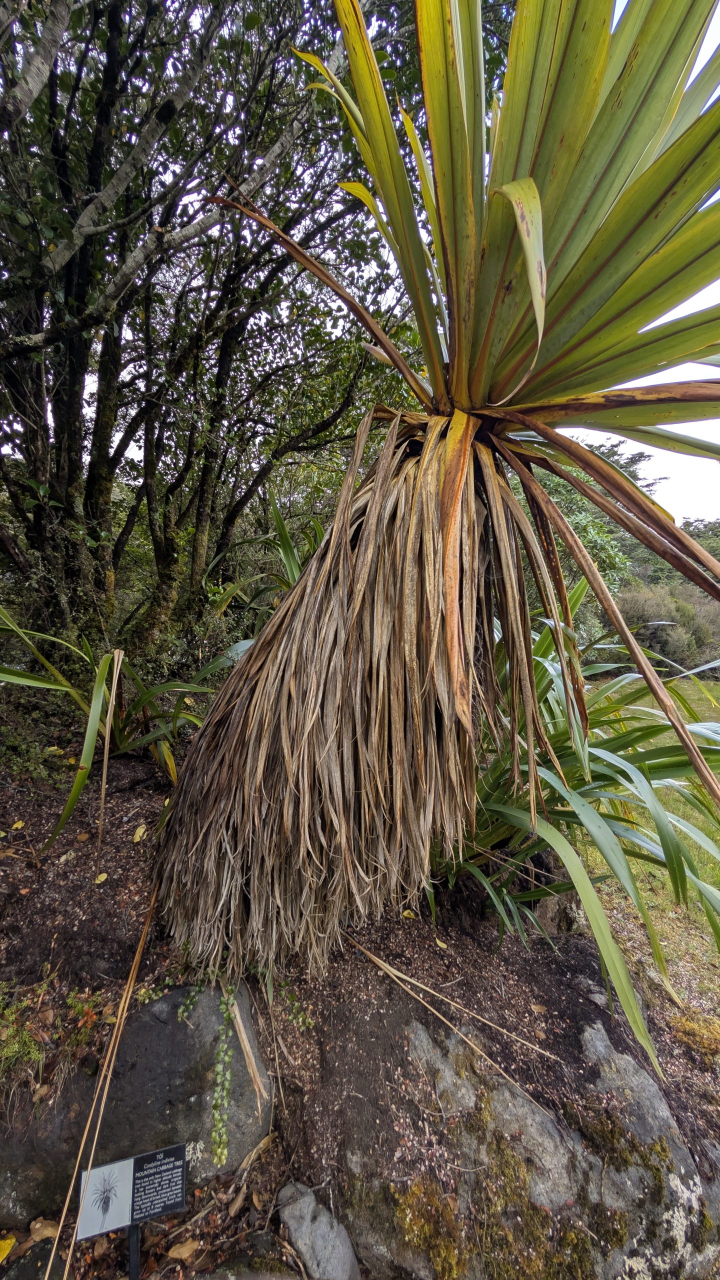
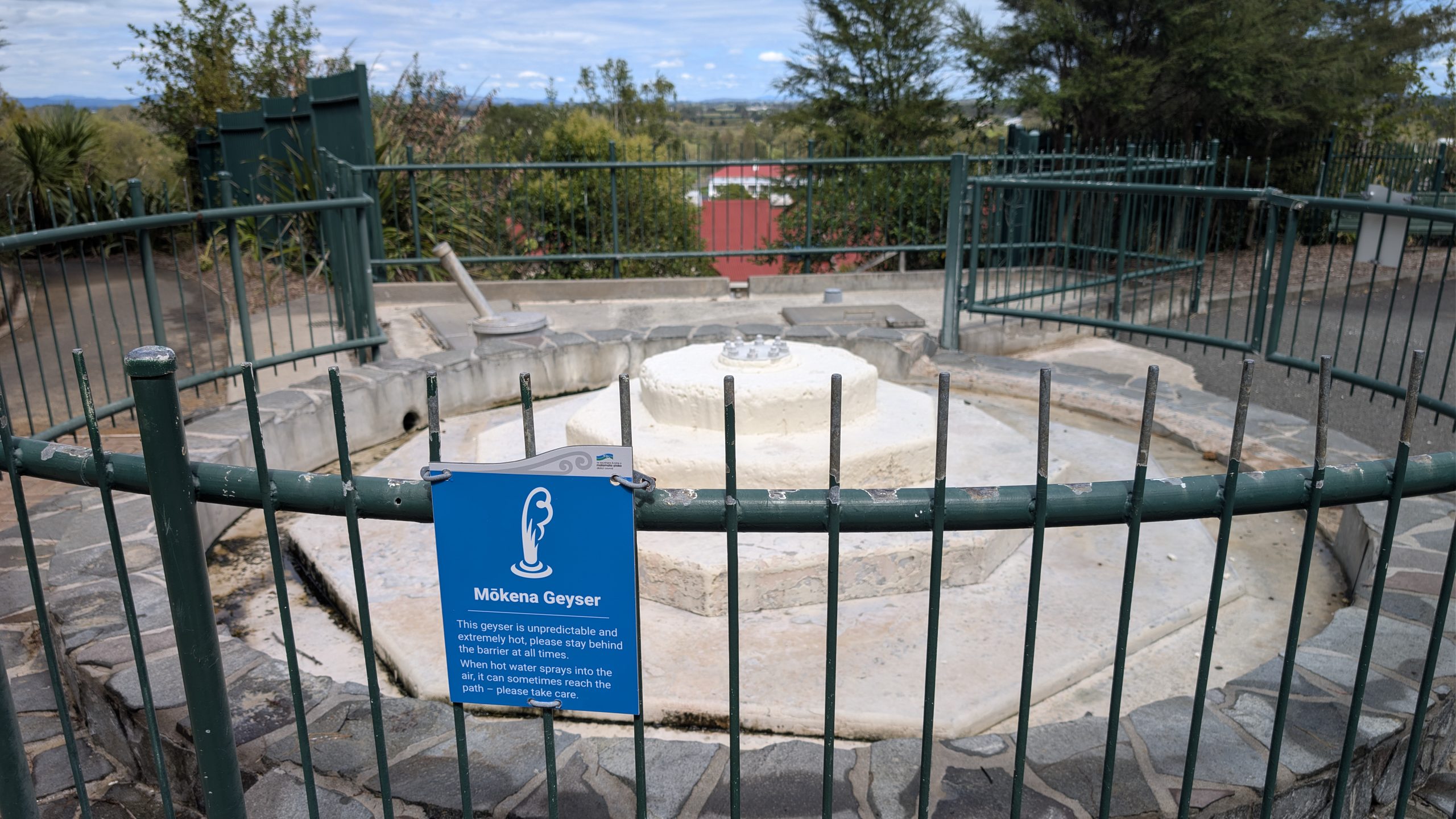
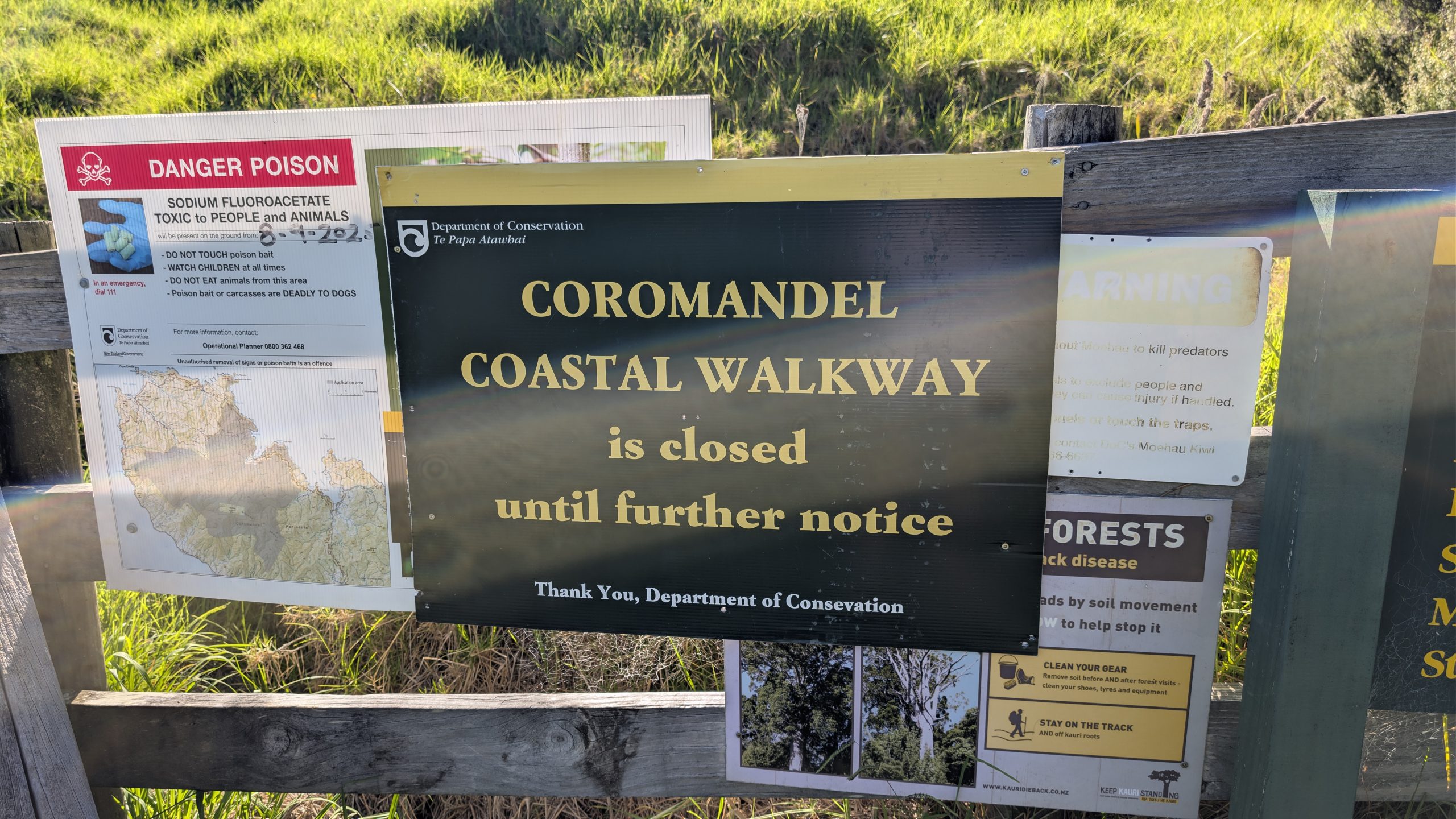
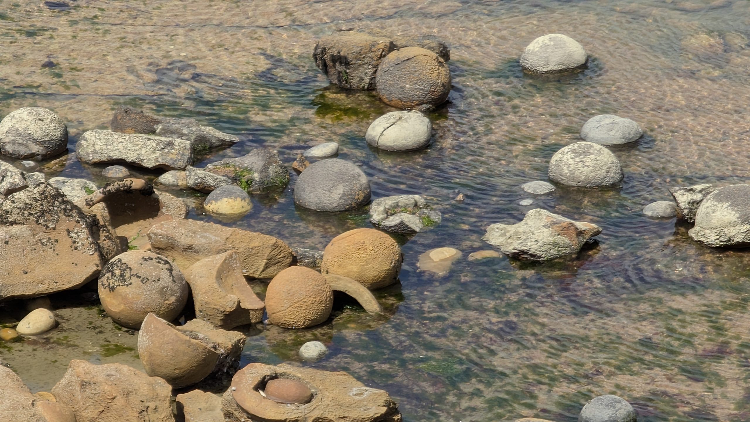
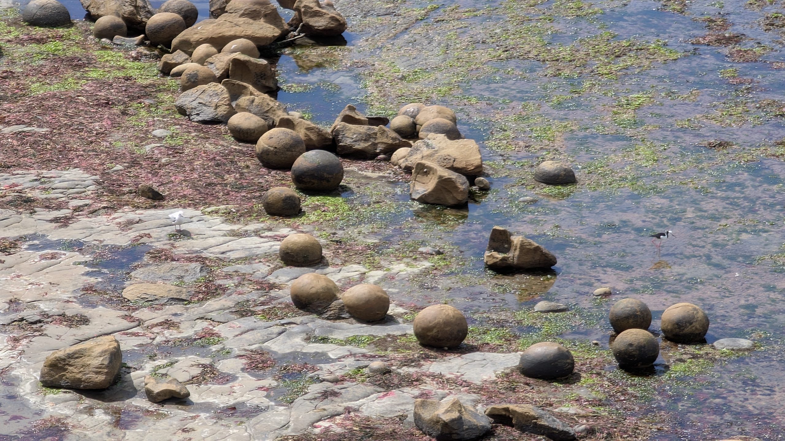
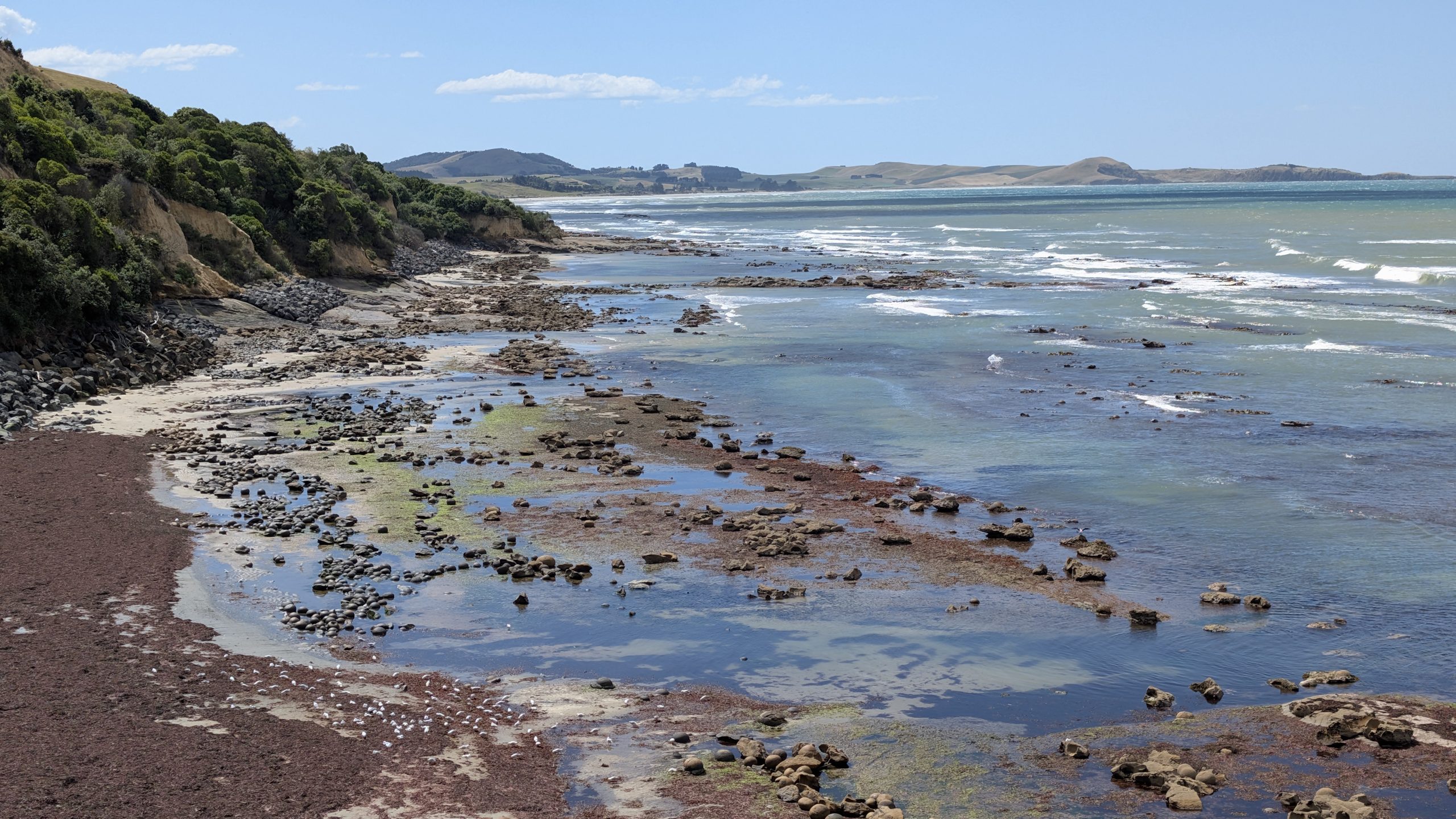
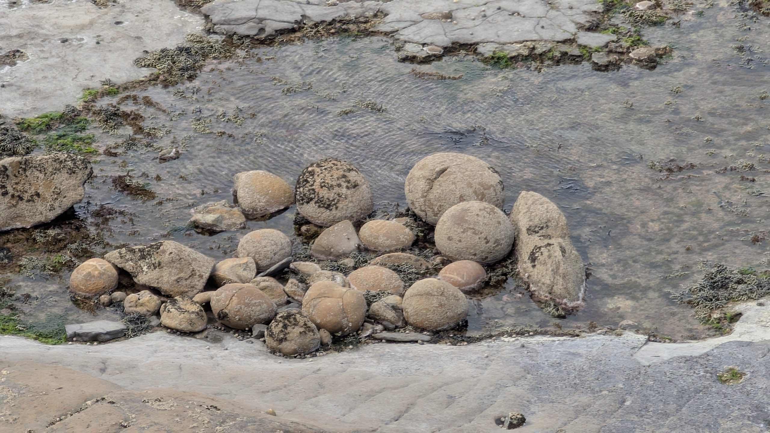
Next we drove back to Tokaanu to see if anything had changed in the thermal area. We did see a new sputtering cone near the entrance that we hadn't noticed before. Otherwise, Taumatapuhipuhi and Hoani geysers were still quiet.

Sputtering cone at Tokaanu

For further details at Tokaanu please visit Heinrich's thermal observations for March 2.

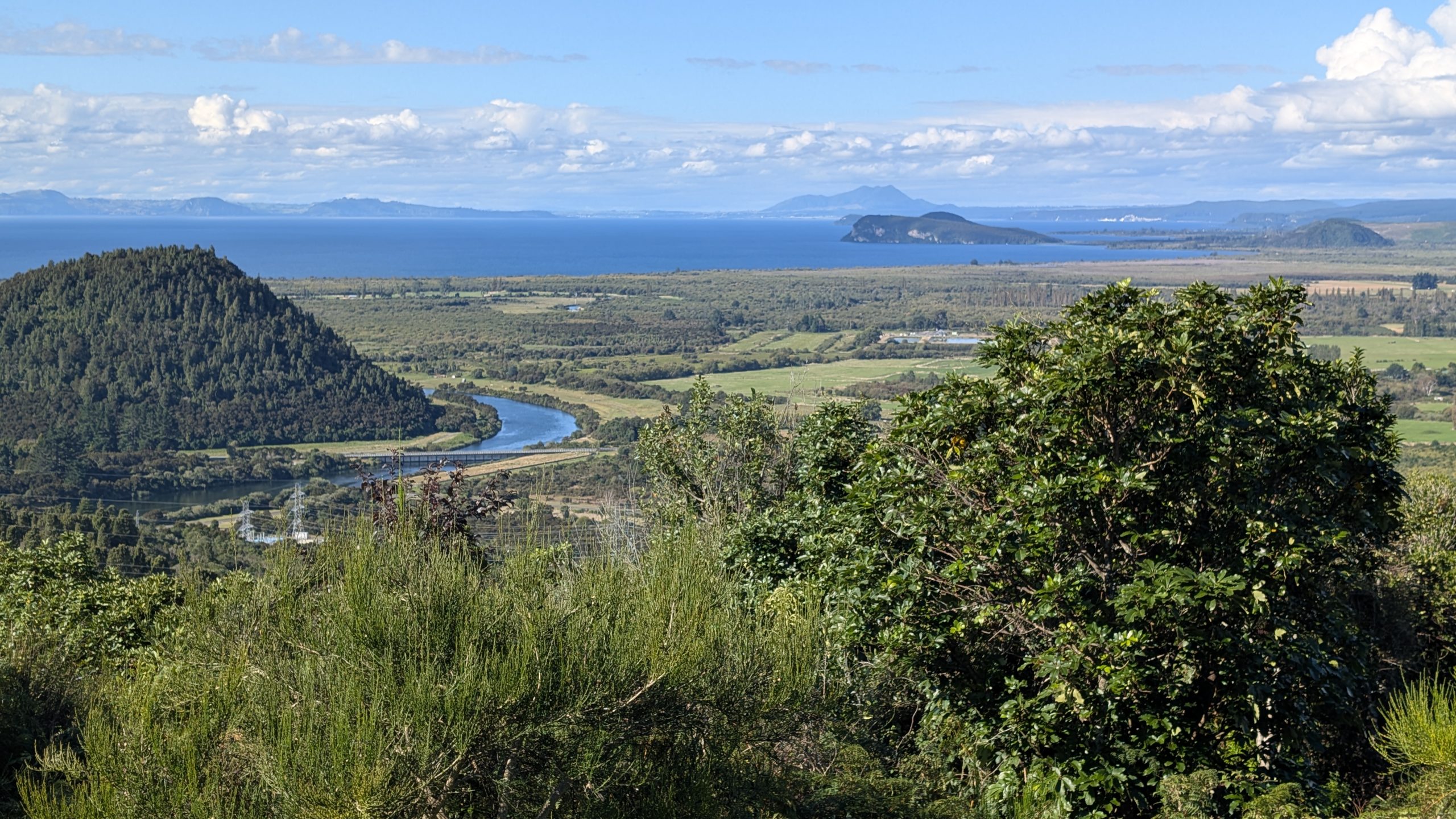
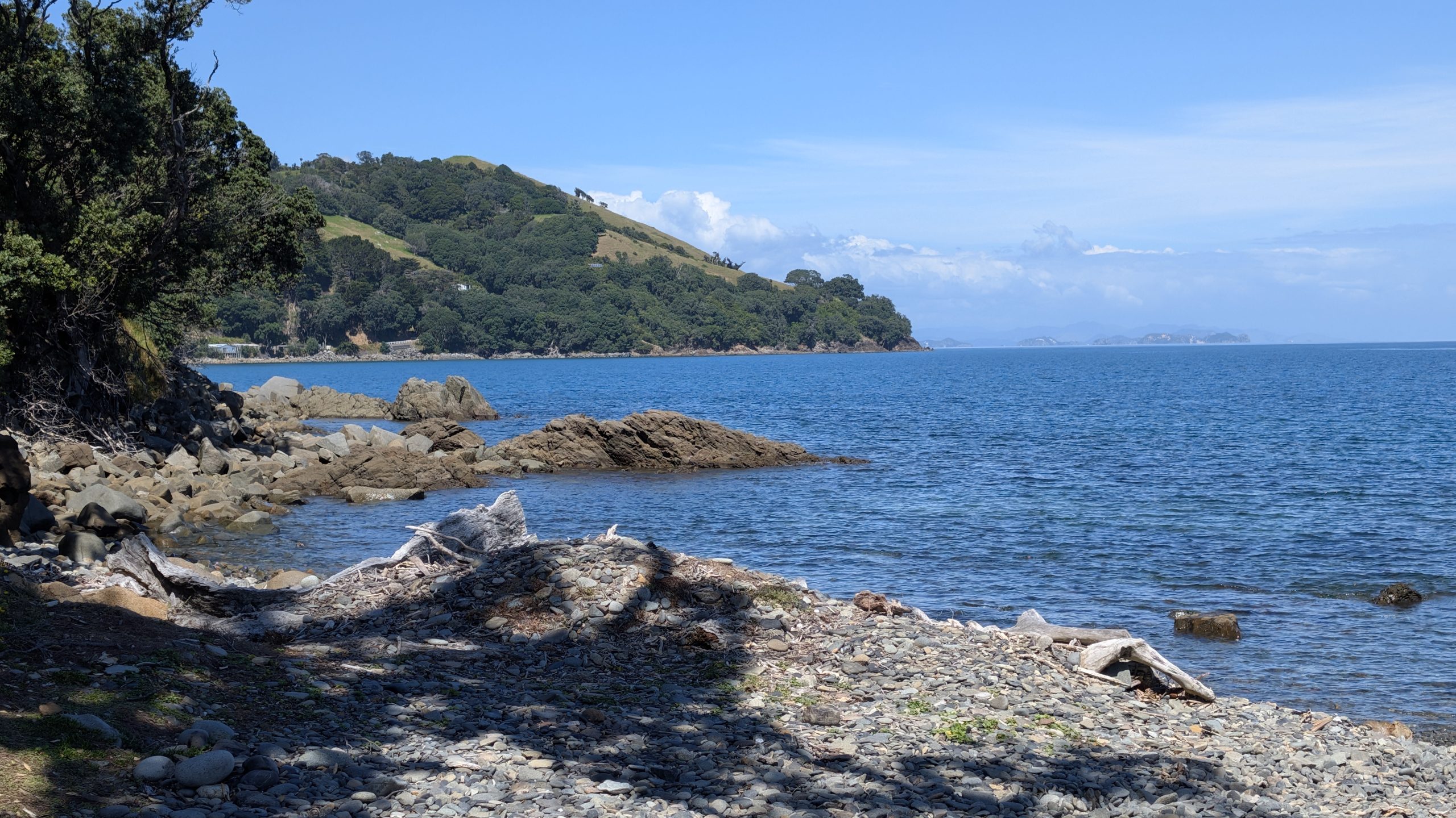
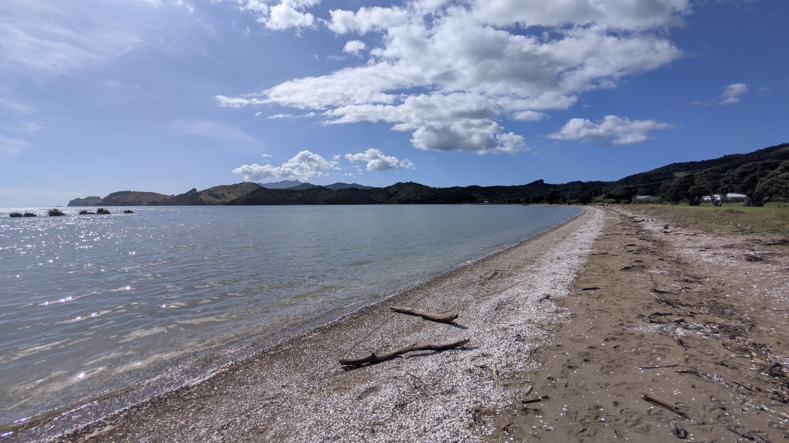
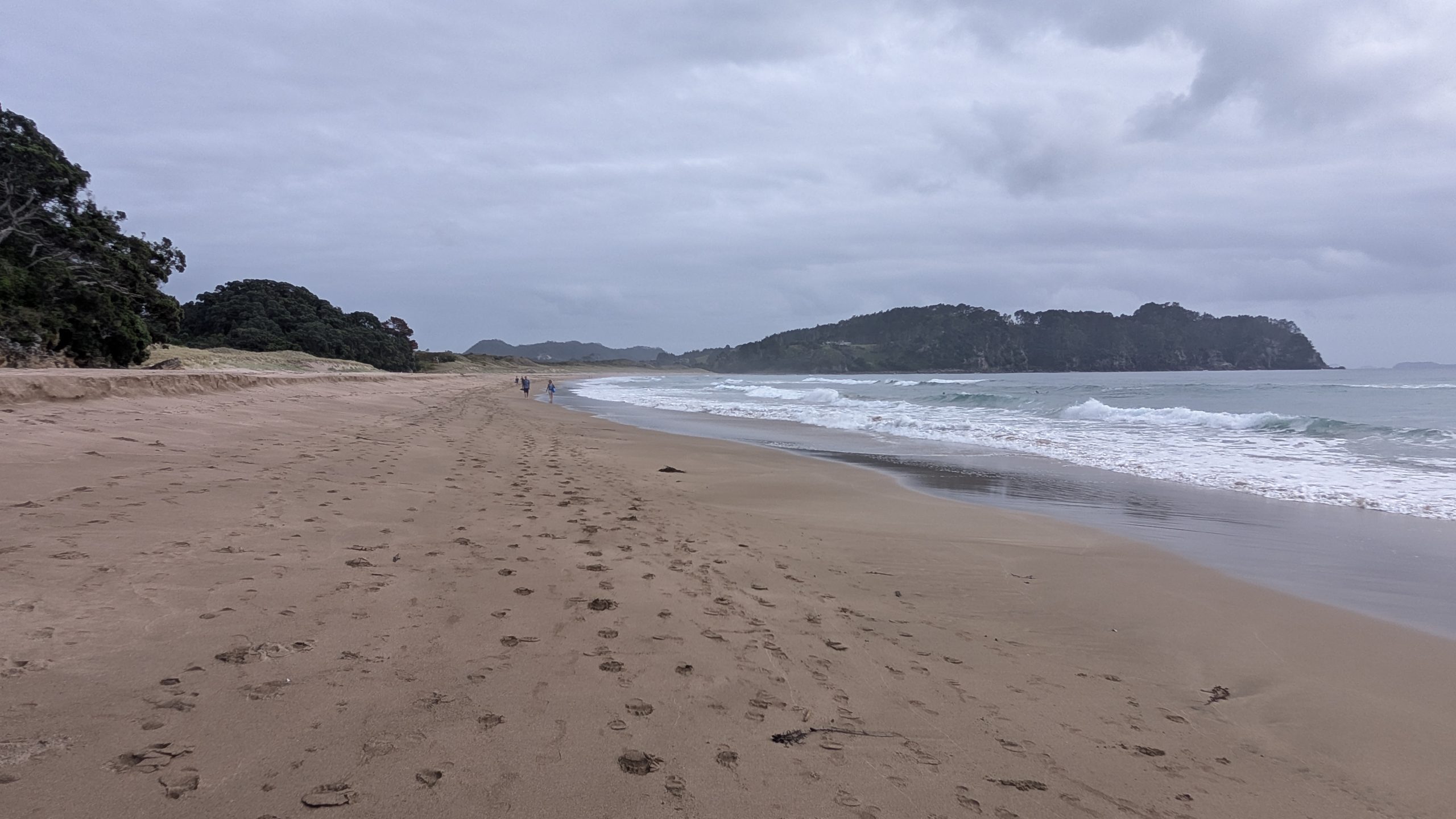
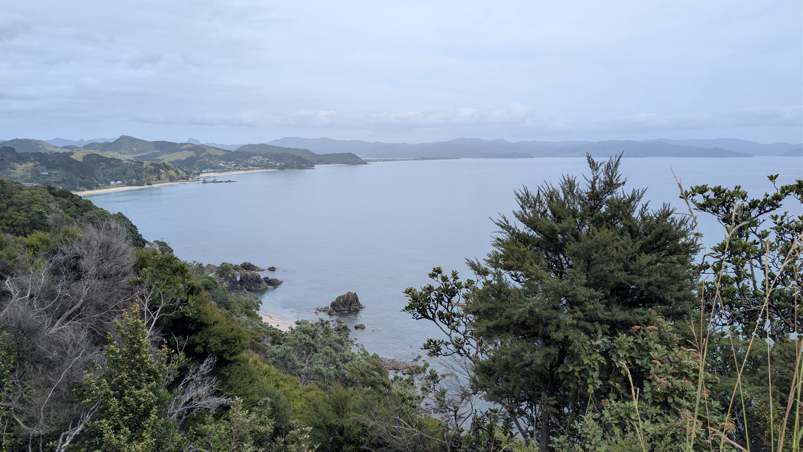
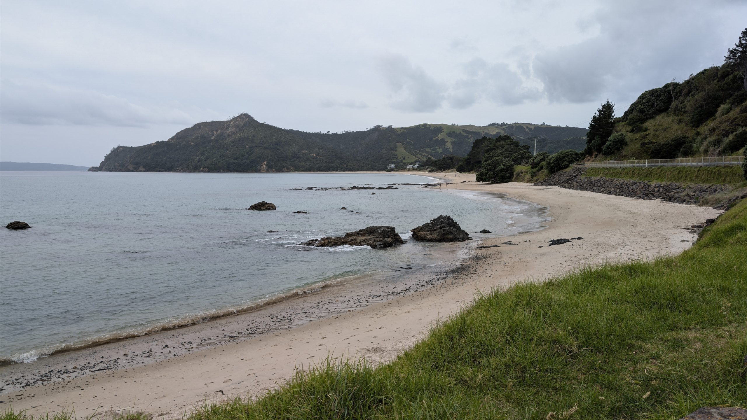
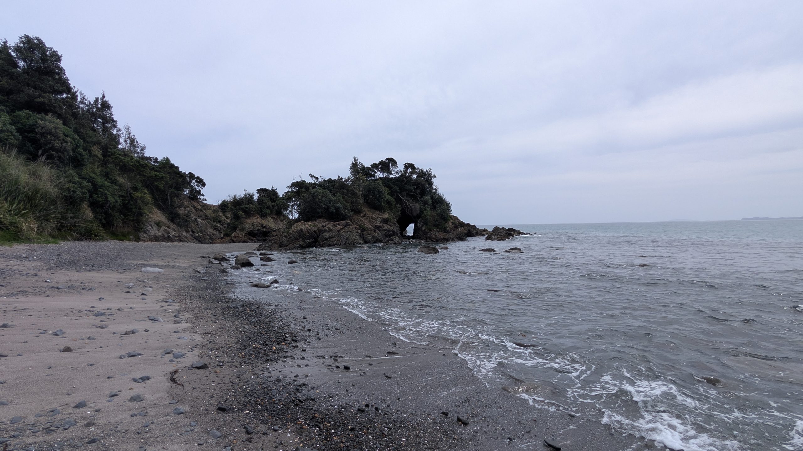
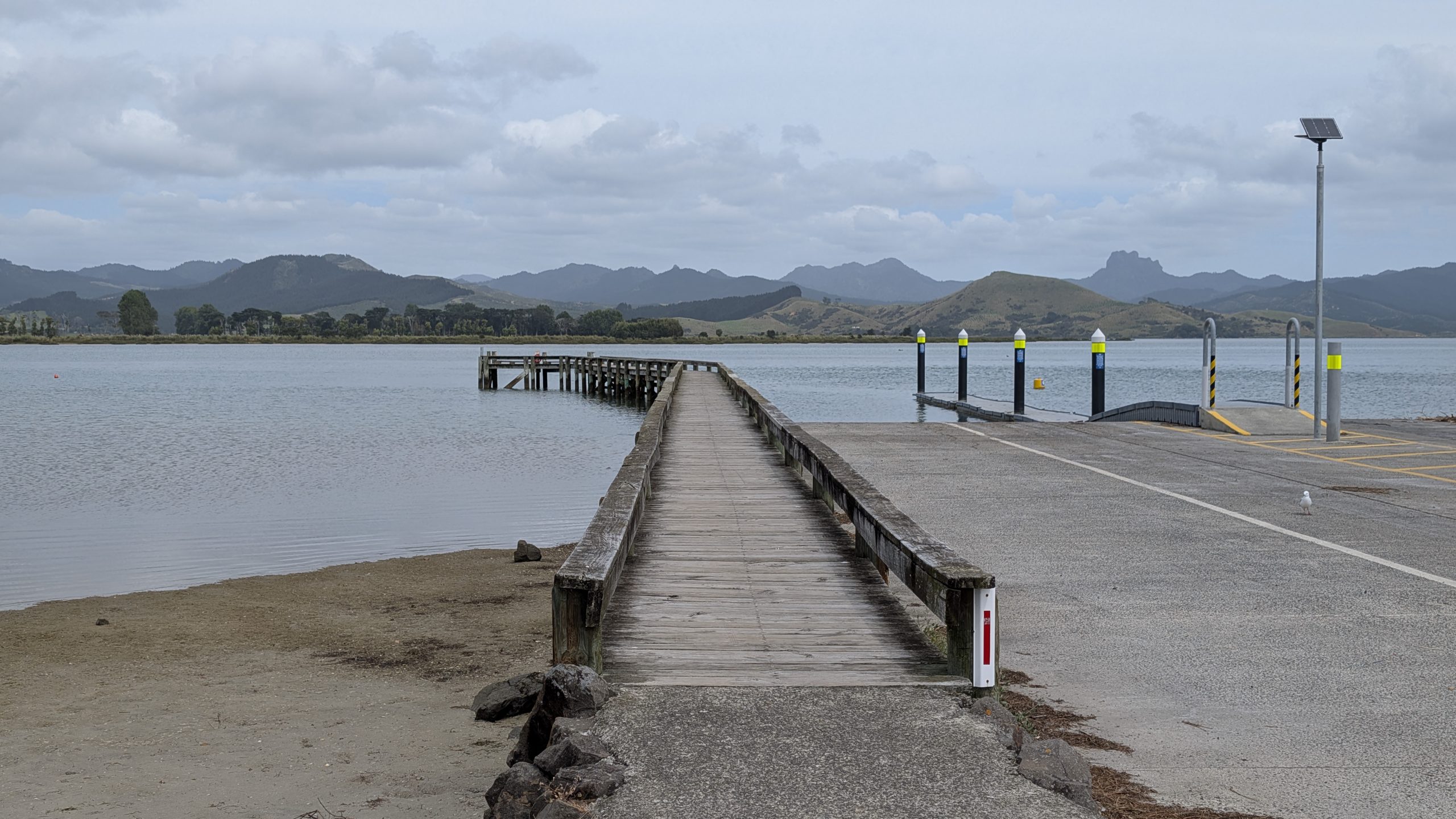
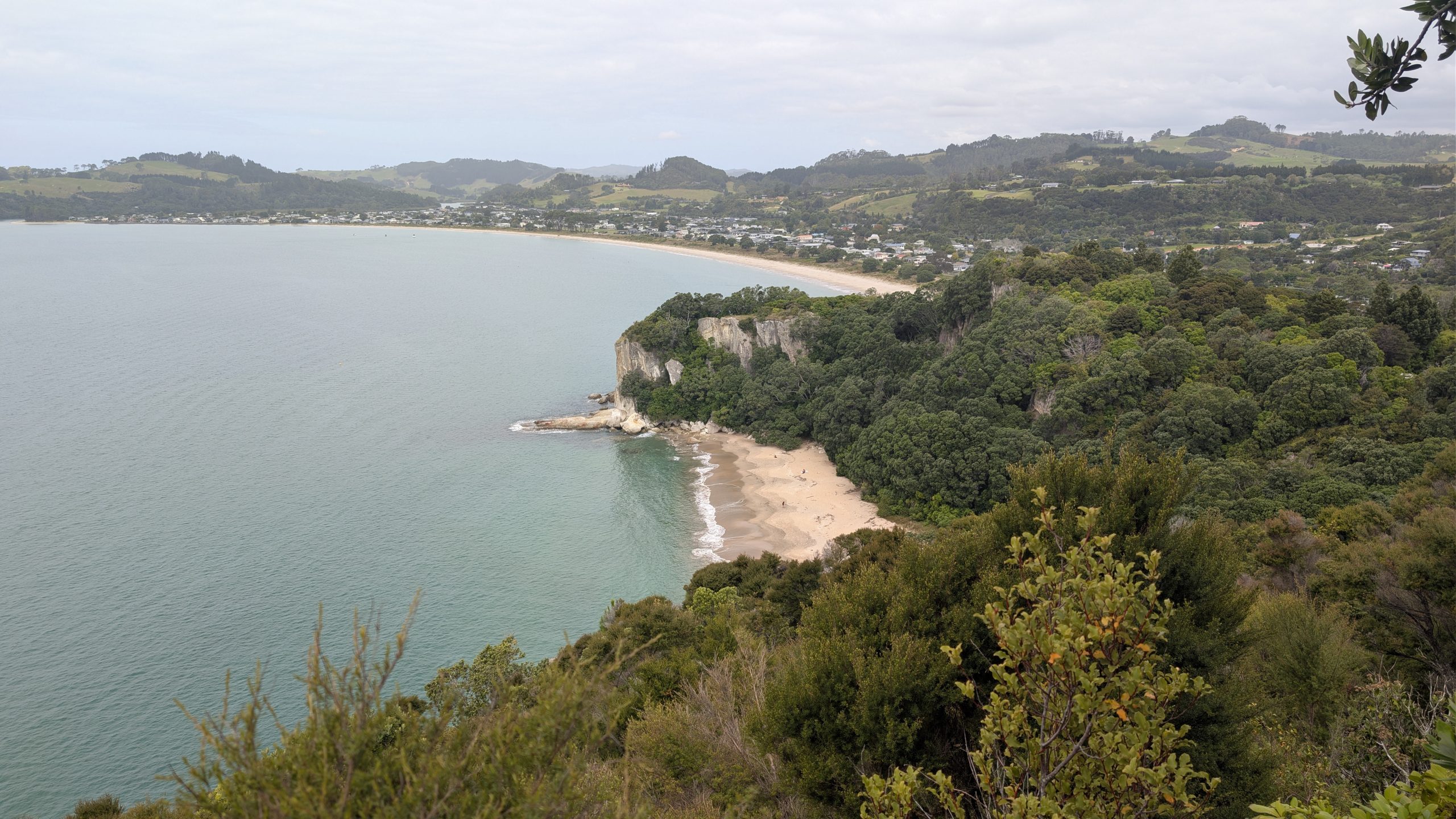
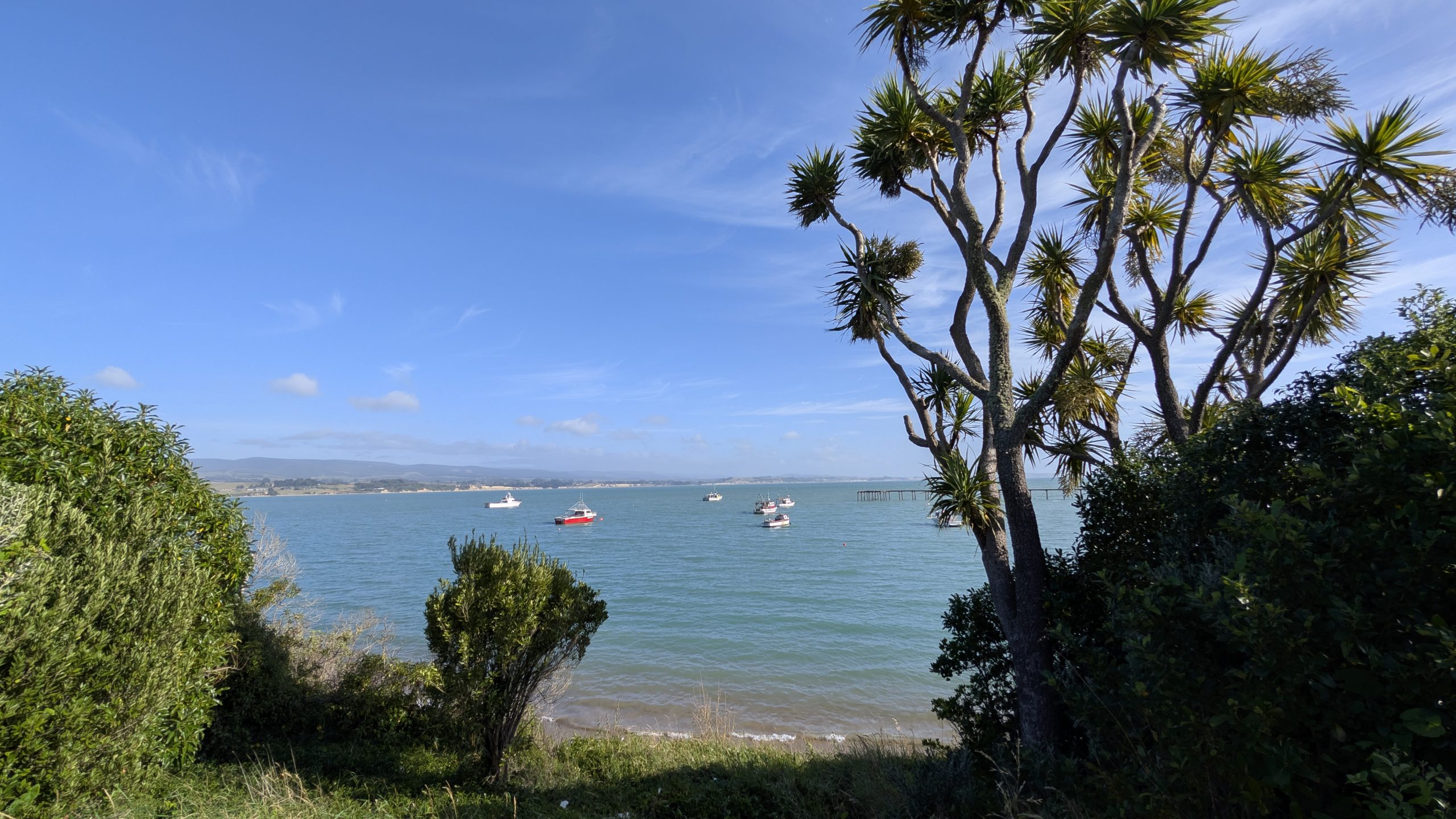
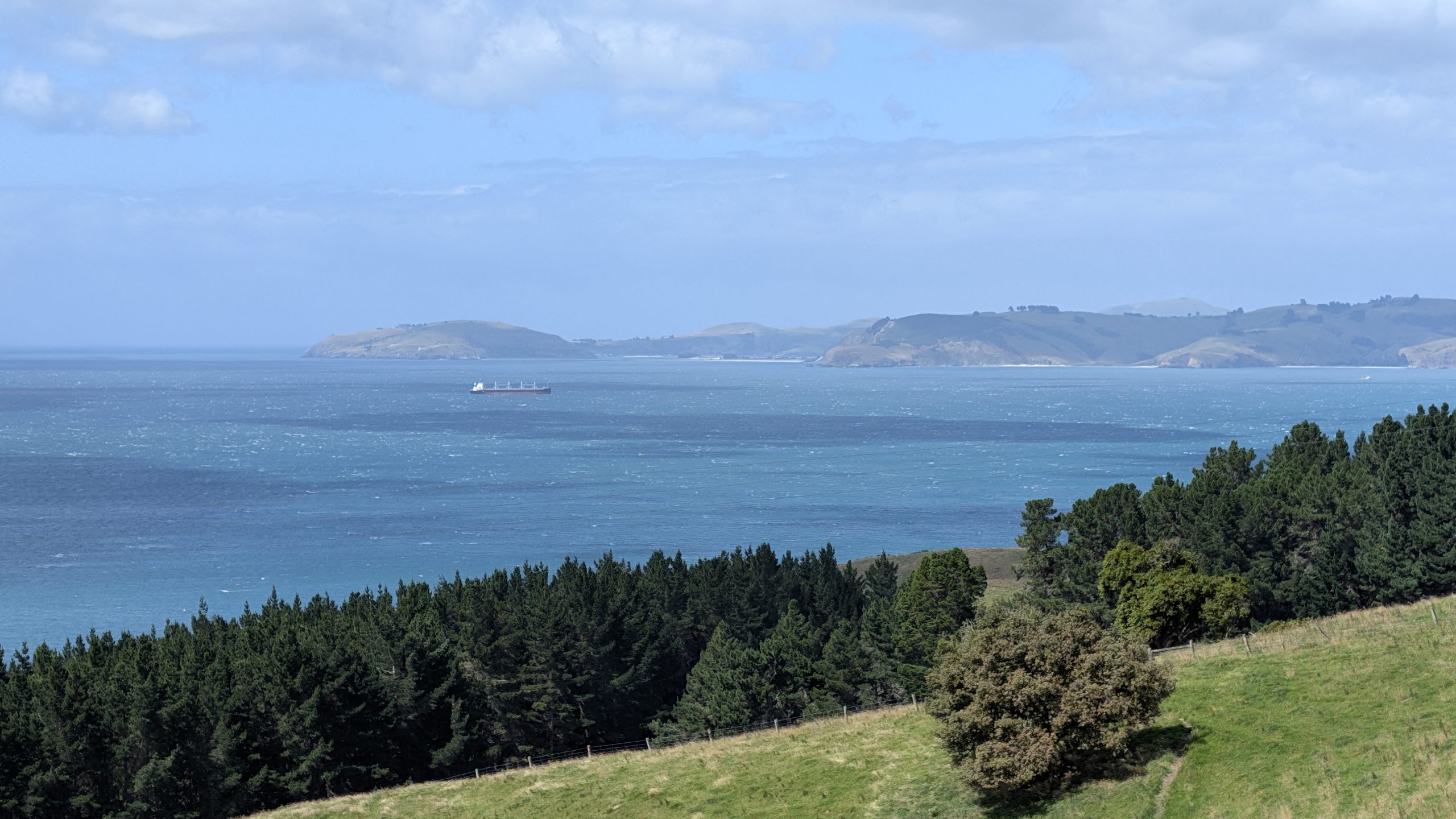
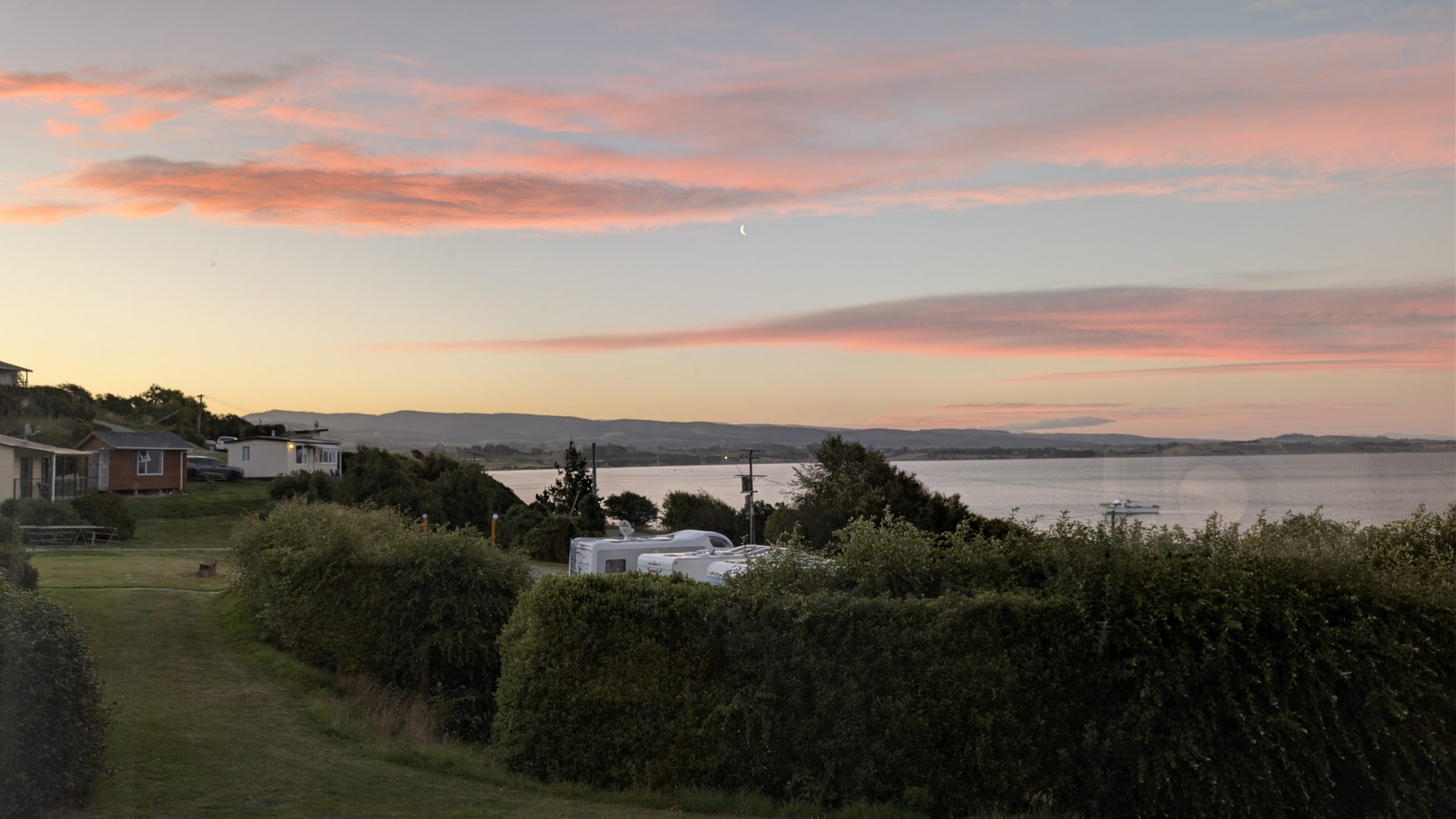
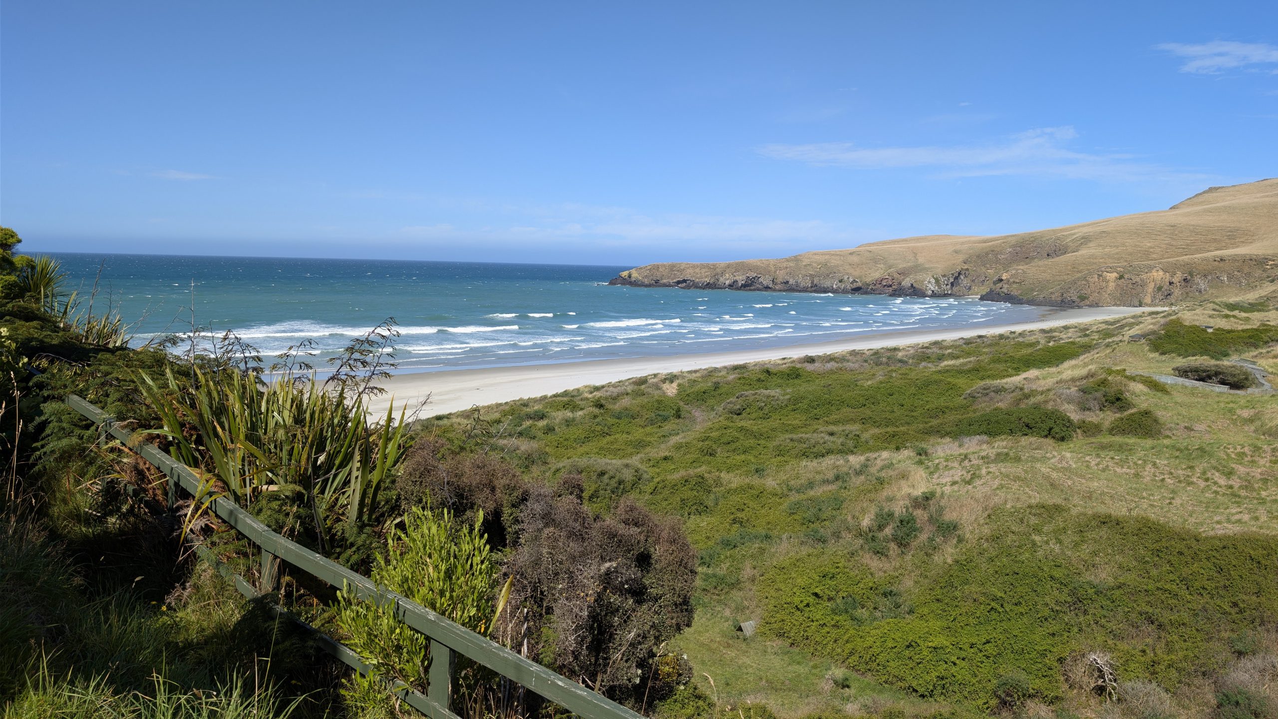
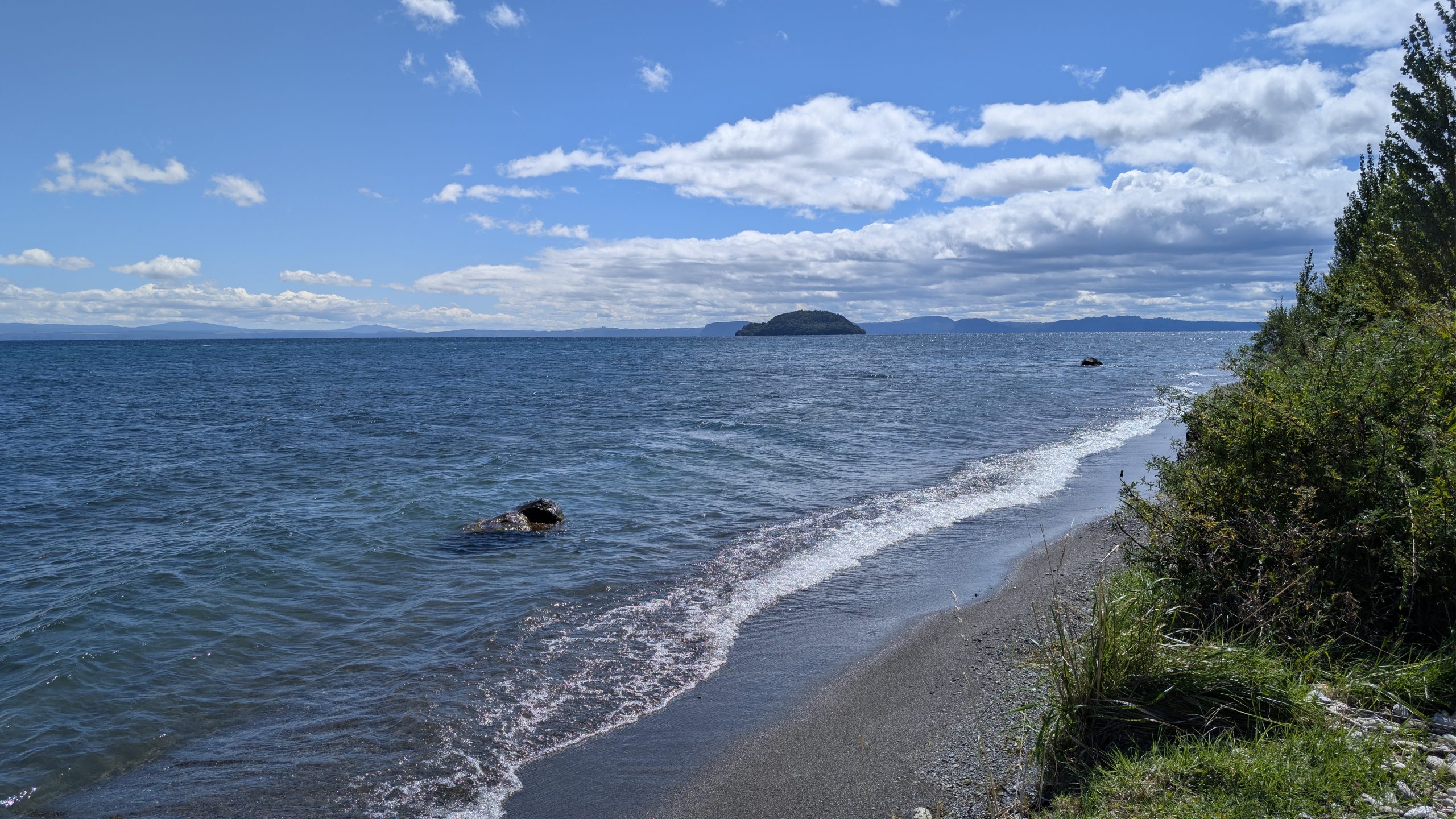
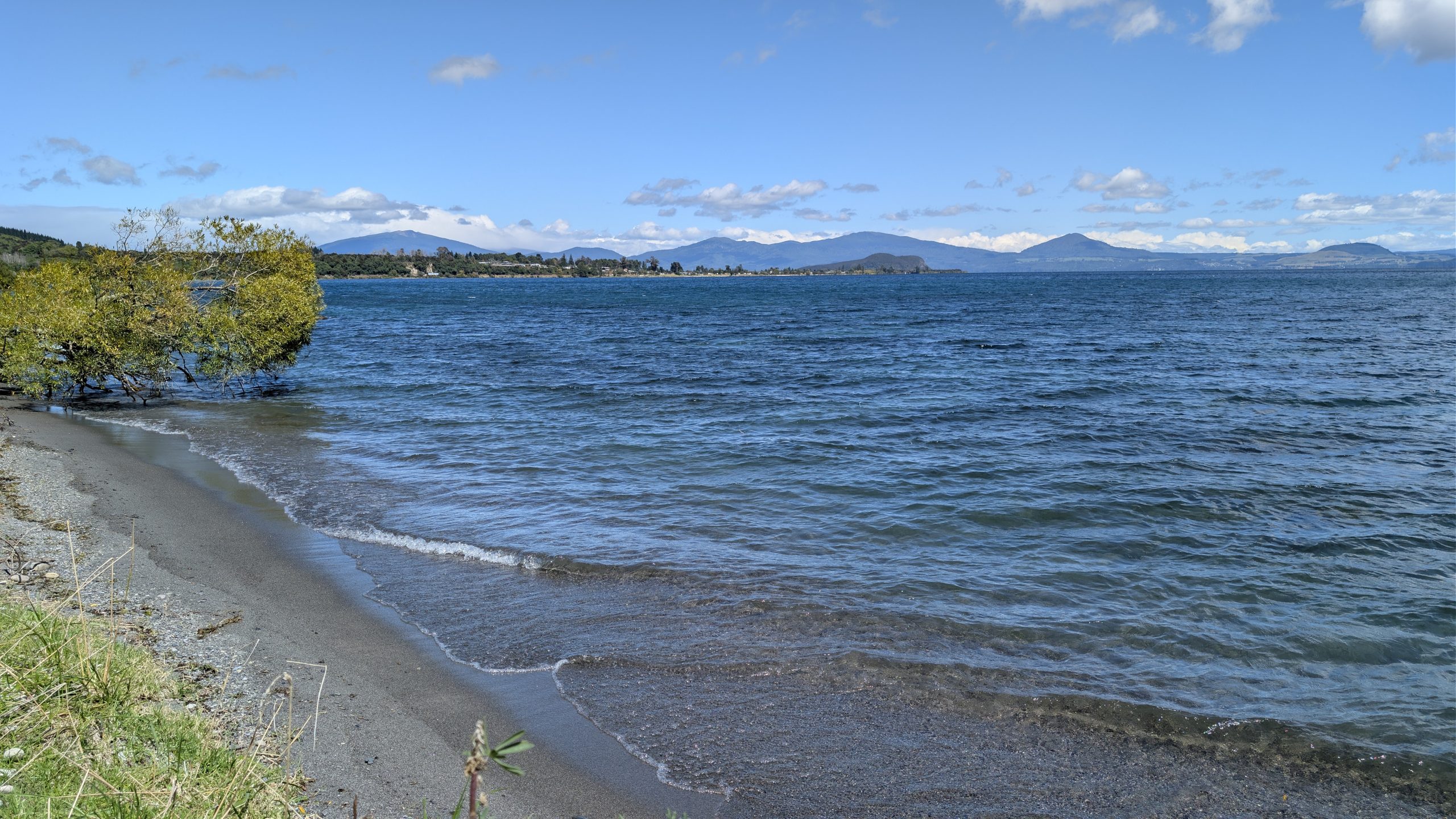
We stopped in Turangi for a gas fill up, and then we continued the drive north, following the shore of Lake Taupo. We stopped at a roadside viewpoint of the lake.

Lake Taupo, looking north
Lake Taupo, looking south

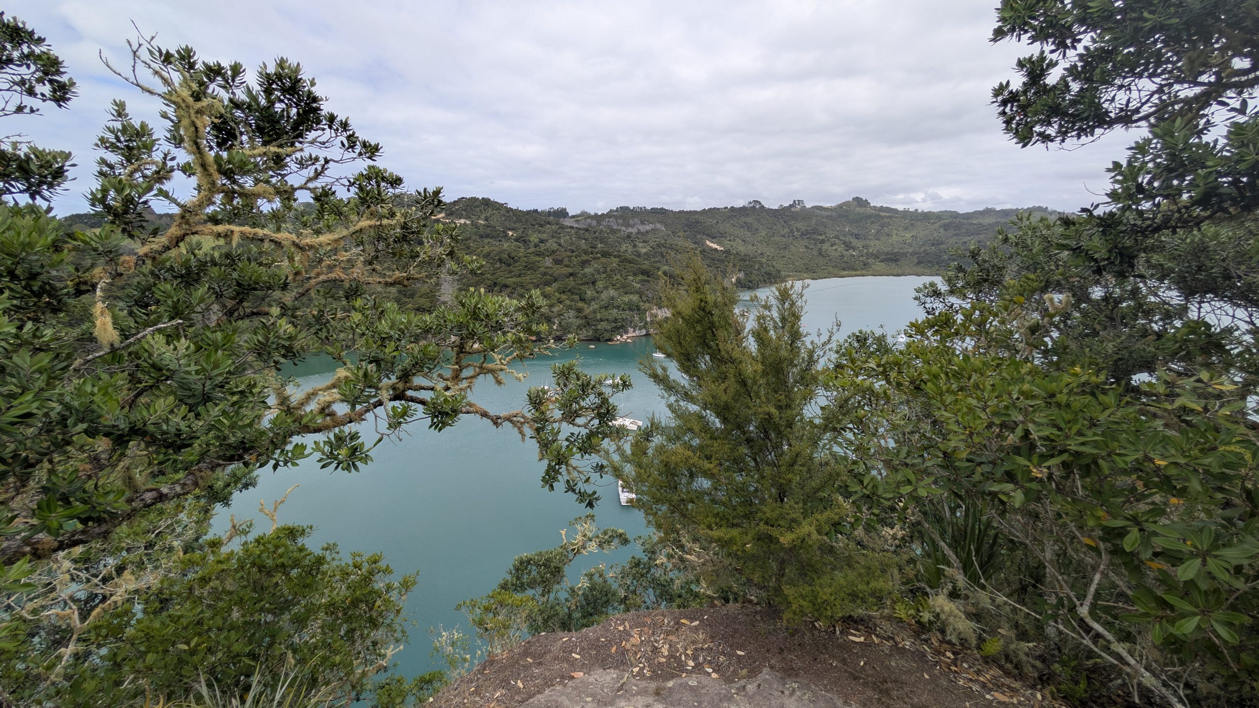
North of the town of Taupo, we stopped to see the Aratiatia Rapids. Four times a day in the summer there were scheduled water releases from the dam, creating a massive flood of water down the Waikato River. We were there for the 2 PM release. We decided to walk to the upper viewing point where we had a view of the flood gates and the river below. It was interesting to see the rush of water coming down and filling up consecutive pools before flooding further down river.

Aratiatia dam flood gates open to a calm river below
Aratiatia upper river flood
Aratiatia dam flood gates close

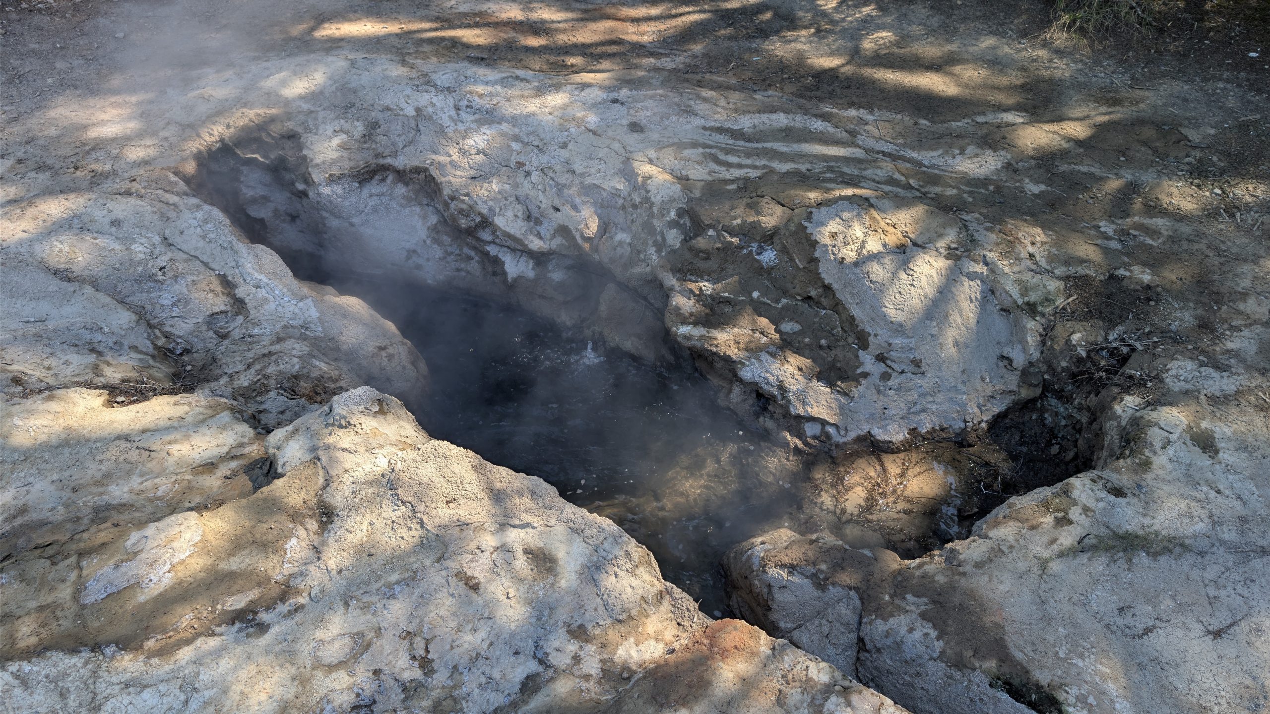
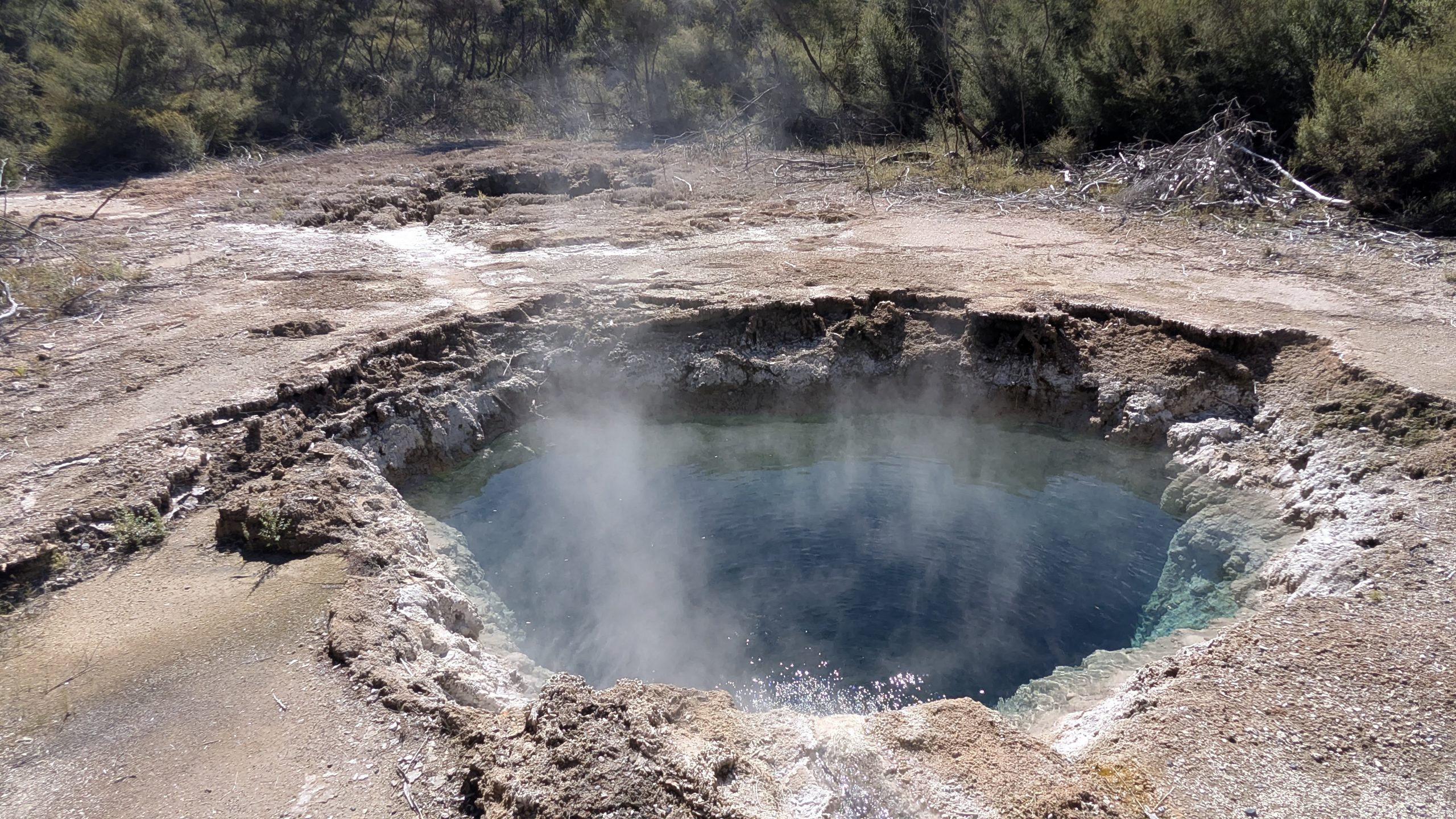
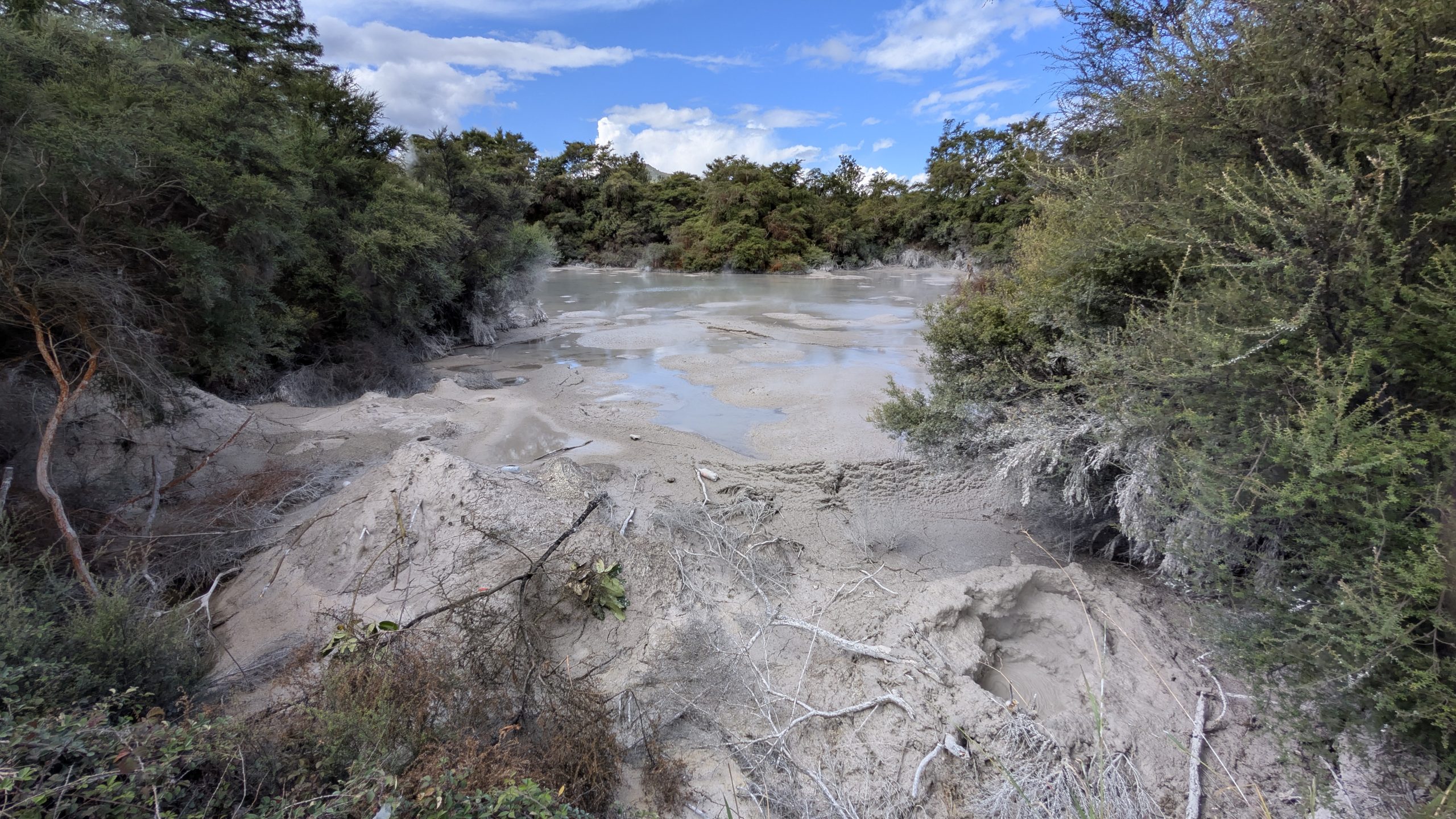
Our final stop on the way to Rotorua was the Waiotapu mud pots which were putting on a very good display.

Exploding mud at Waiotapu
A view of some of the drier mud cones at the shore of the mud lake

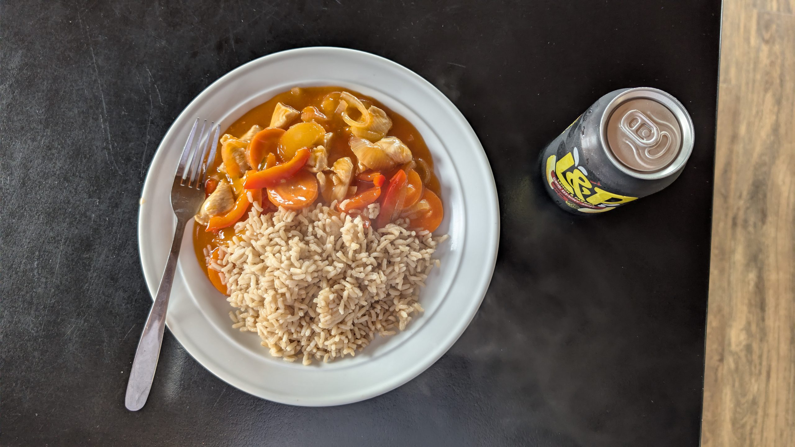
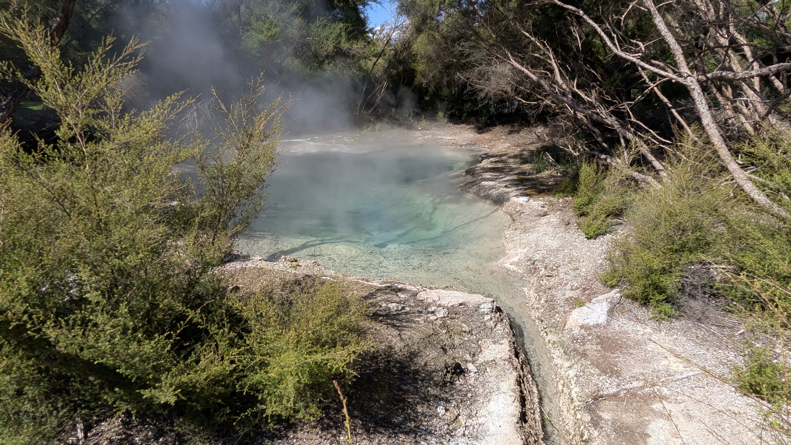
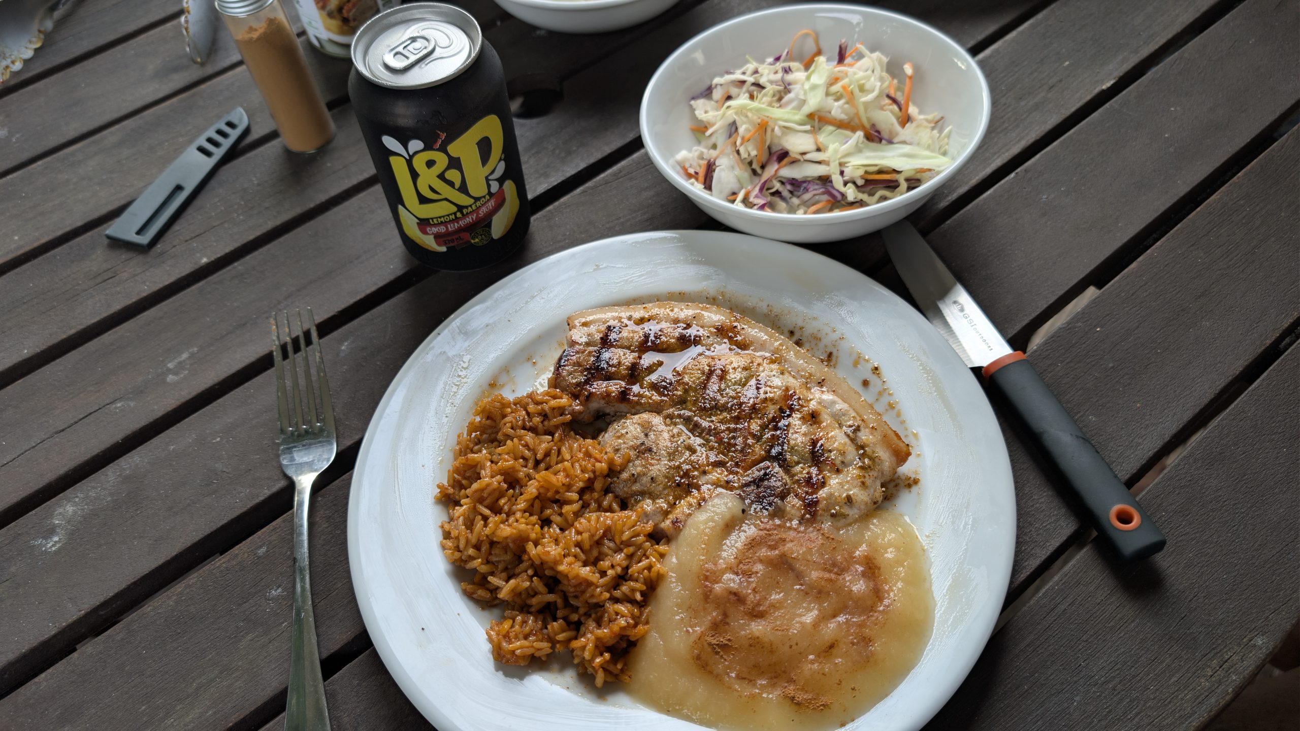
We drove on to Rotorua and checked into our lodging for the next week at the Geyser Lookout BnB. We had stayed there on our previous visit in 2023 and really liked it. The back yard had a hot tub where we could see the stream rising from the nearby geyser area at Te Puia. The owners Shami and Dave remembered us. For this visit we had the larger room with a small kitchen shared with one other room. We fixed our egg and potato dinner and then relaxed for the rest of the evening.


Posted on

2026 Day 38 Whakapapa/Tongariro National Park


March 1, 2026

Fog rolled in overnight, and when we woke up there was no view at all from our room. Later in the morning the weather partially cleared, but the clouds stubbornly refused to leave any of the mountain peaks. We spent the day taking some short hikes in the area.

Our first stop was the Chateau Tongariro Hotel, which closed in February 2023 after a seismic assessment deemed it a high risk. This closure had impacted us in 2023 when we were scheduled to stay in one of the cabins behind the hotel. The cabins were managed by the same company and also were closed. The timing was terrible for us since we had just arrived in New Zealand and found out less than a week before we stayed there that we would have to look elsewhere for lodging. Of course by then no other lodging was available in the area, so we had to stay a half hour drive away. It was sad to see the hotel still closed. Talks had been underway to either come up with the funds to make the necessary repairs or demolish the building.

Chateau Tongariro Hotel

Next was a hike on the Ridge Walk which climbed through the forest to a nice overlook of the area. From the overlook we were able to see the valley, but the big volcanoes were still completely cloud covered.

Colorful mushroom along the trail
View at the top of the Ridge Walk. Chateau Tongariro is the building on the left.

The forest was much drier near the top of the walk with none of the ferns. As we descended, the ferns came back into view.

Ridge Walk trail view
Ferns near the beginning of the Ridge Walk
Mossy trees along the trail

We stopped at the Tongariro National Park Visitor Centre to look at some of the exhibits. Afterwards Heinrich decided to walk back to the room, but I stayed out a bit longer.

The Visitor Centre

I took a short hike on the Silica Rapids trail, but I only went a short distance to a viewpoint along the river. The weather was starting to deteriorate with some drizzling rain.

Bridge on the Silica Rapids trail

I went on the Whakapapa Nature Walk which was a pleasant stroll through the forest, with signs identifying the various plants. Below is a sign for the Cabbage Tree.

Cabbage Tree on the Whakapapa Nature Walk

I walked back to the room, and we decided to fix an early dinner. We had a shared kitchen with the other people in the lodge, and we wanted to use the facilities before everyone else showed up.

Early dinner: sweet and sour chicken and rice

Afterwards the weather cleared and was nice for a few hours. But the volcanoes remained cloud covered. I decided to go on the hike to Taranaki Falls. We had already done this hike in 2023, but I wanted to see the waterfall again. The waterfall was flowing nicely.

Small waterfall along the trail
Taranaki Falls
Taranaki Falls view from further up the trail

After I passed the waterfall, the trail looped back to the parking area near the Skotel Alpine Resort. I passed right by our room.

The forest along the trail
Skotel Alpine Resort with our upper corner room in the view

I returned to the room, and we had a relaxing evening. We saw some nice sunset colors from the room.

Sunset from the room

Posted on

2026 Day 37 Colville to Whakapapa/Tongariro National Park


February 28, 2026

Map: Day 37

This was a big drive day since it was over 5 hours to the Whakapapa Village in Tongariro National Park, where we would be staying for the next two nights. We got up early and were on the road by 7:30 AM. We stopped at the bakery in Thames to buy some meat pies for brunch, and then we drove to the town of Te Aroha to see Mokena Geyser. It was a CO2 cold water geyser that we had previously seen erupt in 2019. When we first arrived, Heinrich thought it was dead since there was no sign of water around the vent enclosure, no steam, and it was very quiet. But then I read some recent reports online that it had been erupting about every 40 minutes, so we decided to wait. That turned out to be the correct decision since we were rewarded with an eruption about 25 minutes later. We then stayed around to see a second eruption for a closed interval of about 45 minutes.

For this geyser and other geothermal activity seen on this trip, I am not going to write much since Heinrich has already provided a lot of details on his web page. So I will provide a link to Heinrich's observations:

Link to Heinrich's page

Mokena Geyser structure
Mokena Geyser in eruption

Our next stop was the Tokaanu Thermal Reserve near Turangi. We had visited here before in both 2019 and 2023 and had been successful in watching Taumatapuhipuhi Geyser erupt. But on that day it was not meant to be: we saw some boiling in the geyser crater, but the amount of debris at the edge of the crater indicated that a recent eruption had not occurred.

This was another place where we crossed paths with Graham, who was on his way to Taupo for the night and had stopped at Tokaanu for a few hours. Graham told us he had already been there for about a half hour but did not see any change in Taumatapuhipuhi.

Taumatapuhipuhi Geyser

Hoani, which we had seen erupt in 2023, was not overflowing and the water level was down by a meter. The area behind the crater that had been covered with water in 2019 was now dry.

Houni Geyser

On the other side of the trail, Matawai Spring was hot and boiling with its runoff pouring into Hoani.

Matawai Spring

We bid farewell to Graham and continued on our way to Tongariro. We stopped briefly at a roadside pullout with a nice view of Lake Taupo.

Lake Taupo view

As we approached Whakapapa, the blue sky disappeared. At the village it was completely overcast and drizzling rain. We checked into our room at the Skotel Alpine Resort, the highest elevation hotel in New Zealand. We had reserved one of the nicest rooms at the resort. It was a corner room with mountain views on two sides and a balcony where we could sit outside and enjoy the views. Too bad the weather was so bad that the views were suboptimal.

Balcony view, Skotel Alpine Resort

It turned out that evening had the best views for the entire time we were there. At one point the sun came out briefly and produced a small rainbow near where the famous Lord of the Rings "Mount Doom" (Mount Ngauruhoe) was located.

The clouds parted briefly
Mount Ngauruhoe is somewhere behind that rainbow

For our evening entertainment we walked down the hall to the bar and ordered a pizza, beer and wine. I forgot to take a picture, so below is at the end of our meal.

Beer, wine, and the remains of our pizza

Back at the room we saw sunset colors from the balcony, and finally, one view of Mount Ngauruhoe.

Sunset view from our room
The best view of Mount Ngauruhoe that I had while there

Posted on

2026 Day 36 Colville and Port Jackson


February 27, 2026

Map: Day 36

We woke up to a gorgeous weather day with clear blue skies. Our itinerary for the day was to make the round trip drive up north to Port Jackson to the end of the road at Fletcher Bay. The road was 25 km of gravel starting at Colville. The road was mostly well graded, but it was narrow and very twisty in spots, making it a bit challenging to navigate around other vehicles. Fortunately we did not pass many other vehicles on the road.

There was road construction near the beginning of the gravel stretch that delayed us by at least 20 minutes. We drove nonstop to the end of the road since we were running short on time: we had planned to hike the Coromandel Walkway to the lookout, which was about a 3-hour round trip hike.

The Coromandel Walkway was billed as one of the most scenic hikes on the North Island, with lots of stunning coastal views. I was really looking forward to it. But when we arrived at the trailhead, we found this:

Oops!

So that substantially changed the rest of our day. Oh well, we had been running short of time anyway... I subsequently found out that the trail was closed on January 24, which was right after we had arrived in New Zealand. There was no way I would have known about it unless I had thought to check its status online after we arrived.

We then had a very relaxing time exploring Fletcher Bay and really took our time traveling back to Colville. The views of the beach and the surrounding hills at Fletcher Bay were lovely.

View from the Fletcher Bay carpark
View near the start of the Coromandel Walkway
The beach at Fletcher Bay

On the drive back to Port Jackson we stopped at a lookout that was at the northernmost point of the Coromandel Peninsula.

View to the west
View to the east

Our next stop was the upper carpark trailhead for the Muriwai Hilltop Walk. This was an easy walk that had wonderful coastal views. It was one of my favorite short walks on the entire trip. It followed a ridge with views the entire way, and it was so peaceful. We encountered only one other person along the trail.

Muriwai Hilltop Walk
Coastal view from the Muriwai Hilltop Walk
Port Jackson Beach, view from the Muriwai Hilltop Walk

After the hike we drove back down to Port Jackson and stopped at the beach. The only public facilities at Port Jackson appeared to be a campground at the beach. The remaining part of Port Jackson consisted of a few houses along private roads.

Port Jackson Beach, looking west
Port Jackson Beach, looking east

Past Port Jackson the road climbed up to a nice view of the beach below.

Port Jackson Beach

Then the road dropped back down to sea level, following the coast for most of the way back to Colville. We stopped briefly at Fantail Bay, where there was another campground.

Fantail Bay, looking south
Fantail Bay

We drove back to the road construction area and this time had less than a 10-minute wait. We finally rejoined the paved section of the road and stopped at the Otautu Bay wharf.

Otautu Bay

Our final stop for the day was at Colville Bay, just down the road from our motel room.

Colville Bay
The beach at Colville Bay
Road to the motel from Colville Bay

Back at the motel, I walked around the pretty grounds.

Front lawn of the Colville Bay Motel
Pretty trees
And pretty flowers

We fixed dinner and relaxed for the rest of the evening.

Dinner: chicken carbonara and a salad

Posted on

2026 Day 35 Hahei to Colville


February 26, 2026

Map: Day 35

The day was devoted to exploring some areas of Coromandel that we had not seen on past trips. Many of the spots were beaches. Unfortunately it was not looking good to be a beach day: the weather forecast was for mostly cloudy with light periods of rain.

Just for fun we stopped to see the Hot Water Beach. This was a big tourist bucket list item. It involved going to the beach within 2 hours of low tide, and then finding a spot near the edge of the water to dig a hole in the sand deep enough to reach hot water below, and finally sitting down into the hot water for a nice geothermal soak. Shovels could be conveniently rented at a shop nearby. Neither of us had any desire to actually participate in this, but it was entertaining to watch the others search for a hot water spot. Since we were there over an hour past the low tide time, many people were not digging down deep enough at the higher ground level. I found lots of cool water holes that had been abandoned.

Parking nearest to the main attraction was not free, but about two tenths of a mile down the beach there was free parking at the Domain Road Carpark. We parked there and just walked to where all of the people were congregating.

Hot Water Beach
Beach area near the Domain Road Carpark

You can read more about Heinrich's experience here.

We drove north to the town of Whitianga where we stopped at the New World supermarket for some groceries for the next few days and then topped off the car with gas. Then we drove further north to a roadside stop on Black Jack Hill, where there was a lookout with views of the Pacific Ocean and some of the beaches below. Unfortunately with the total cloud cover that refused to dissipate, the views were less than stellar.

Ocean view from Black Jack Hill

We drove back down the hill and visited a couple of beaches: Kuaotunu Beach and Matarangi Beach. At the west end of Kuaotunu Beach was a nice small sea arch.

Kuaotunu Beach
Sea arch at the west end of Kuaotunu Beach
Close up view of the sea arch
Matarangi Beach, looking west
Matarangi Beach, looking east

We drove to the boat dock at the southern end of the little peninsula that fronted Matarangi Beach. We had some nice views of the Whangapoua Harbour.

Whangapoua Harbour
Boat dock at Whangapoua Harbour

Next we drove west to the town of Coromandel and took a short hike on the Kauri Block Track. The walk passed a young grove of kauri trees that were planted in 2014 and dedicated to the people of Christchurch following the 2010 and 2011 earthquakes. It climbed to a nice panoramic view of the Coromandel Peninsula.

Wyuna Bay view from the Kauri Block Track lookout
Town of Coromandel view from the Kauri Block Track lookout
Coromandel Peninsula view from the Kauri Block Track lookout

Next we drove north and stopped at the Driving Creek Railway to look around. This was New Zealand's only narrow-gauge mountain railway. People could book a 75-minute tour that climbed through a regenerating native forest. We did not have enough time to take the tour, but we might consider it on a future trip. We did go on some of the free activities that included some short trails that stopped at a mine entrance and a predator-proof wildlife sanctuary. We walked through the sanctuary but did not see any interesting birds.

Driving Creek Railway train
Mine entrance

Next we drove further north to our accommodation for the next two nights at the Colville Bay Motel. We had a one-bedroom unit with a kitchenette. It was the farthest north accommodation I was able to find on the western side of the Coromandel Peninsula. I found it several months earlier using a Google Maps search and booked directly with the owner. It was a nice place at a very reasonable price. I would stay there again.

We used the outdoor grill for our dinner.

Dinner: leg of lamb steak, baked potato, and salad

Posted on

2026 Day 34 Hahei and Cathedral Cove


February 25, 2026

Map: Day 34 — Cathedral Cove

In the morning we decided to take a one-way water taxi to Cathedral Cove and then walk back to Hahei via the trail and road. The water taxi departed from Hahei Beach, so it was just a short walk from our room. We were told to look for the flags on the beach for the water taxi. But when we went out to the beach, the only flags we saw were for the kayaks. We were early, so we waited. And waited... finally I saw at the other end of the beach some people setting up flags, and a boat was being launched. So we scrambled over there (half running: it was about 2 tenths of a mile) only to discover that this was again the wrong company. And then suddenly at the other end of the beach, where we just were a few minutes before, I saw another boat arrive. This was about 10 minutes after the supposed departure time of 9 AM. So we scrambled back and managed to get there in time. There were only 2 other people waiting there to get on the boat.

The water taxi was a short 8-minute ride to Cathedral Cove. It was nice timing since it was about an hour after low tide and we were on the first boat, so the crowds of people had not yet arrived.

Water taxi ride to Cathedral Cove
Approaching Cathedral Cove
Cathedral Cove view from the water taxi
Water taxi departing from the cove

There were sea caves on the south side of the cove. One was still barely reachable before the tide came in, so I walked over to explore the inside.

The first sea cave, viewed from the water taxi
The second sea cave, accessible near low tide
View from inside the sea cave

I noticed a small waterfall on the south side of the cove. It was flowing a steady stream. Neither of us remembered seeing it when we previously visited in 2019. It probably was not flowing then since 2019 was a very dry year, unlike 2026 which had plenty of rain.

Cathedral Cove waterfall

Next we walked over to the main attraction: the Cathedral Cove arch. It was nice and uncrowded. We walked through the arch to the beach on the other side and observed Te Hoho Rock.

Cathedral Cove arch
Inside the arch
Te Hoho Rock

We spent about an hour at the cove and departed at about the time when a steady stream of people started to arrive. The trail from the cove was an uphill climb through a pretty forest. We took the side trail to the Cathedral Cove lookout which had great views of the cove and nearby McHands Bay.

Trail from Cathedral Cove
Cathedral Cove view from the lookout
Te Hoho view from the lookout
McHands Bay

We walked back to the main trail and continued on to the trailhead and bus parking area. From there we walked down the road back to the town of Hahei. In 2019 we had been able to follow a trail that went from the bus parking area to Hahei Beach, but it had been closed due to washouts. It was a total of about 1.5 hours of walking from the cove back to Hahei, quite a bit longer than the 8-minute water taxi ride.

View from the bus parking area
Hahei Beach view from the road

Back in town, we stopped at the Hahei Eatery and Ice Cream to have lunch, and ice cream afterwards. Then it was just a short walk back to our room.

Cheeseburger lunch
Map: Day 34

For our afternoon adventure we took a 15-minute drive to Cooks Beach and the Shakespeare Cliff Lookout. This was an area we had walked to in 2019 when we stayed in the nearby town of Whitianga and took the passenger ferry. Having the car gave us more time to explore the area.

Cooks Beach
Lonely Bay and Cooks Beach view from the Shakespeare Cliff Lookout

We drove down to the ferry landing area, and I took a walk up to Whitianga Rock which had nice views of the town of Whitianga and the ferry area.

View of Back Bay from Whitianga Rock
View of the town of Whitianga and the wharf from Whitianga Rock

We drove back to our room and used the grill to fix dinner.

Dinner: pork chops, rice, applesauce, and cole slaw

Posted on

2026 Day 33 Christchurch to Auckland to Hahei


February 24, 2026

Map: Flight Day 33

We got up at 5:30 AM to get ready for our morning flight to Auckland. We had one small hiccup in finding the place to return the rental car, since it was an after hours return and I did not see in the instructions that it would be in a different place. But we still had plenty of time before our flight.

Going through security took more time than what we were used to. I missed being able to use our TSA precheck. I had to take off my hiking boots, and both of our backpacks ended up getting manually inspected. I think that was due to all of the electronics we had jammed inside. Otherwise the rest of the check in was uneventful, and our flight left on time.

Sitting on the right side of the plane, we had good views of the Akaroa area, central mountains, and the Queen Charlotte Sound.

Mountains north of Christchurch, most likely the northern Southern Alps or the Kaikoura Range

Queen Charlotte Sound

On the North Island we could see Mount Tongariro and Lake Taupo in the distance. The sun was at a bad angle overhead, making my plane pictures look washed out.

Lake Taupo on the left and Mount Tongariro with some snow on the right
Landing in Auckland with a brief distant view of the city

The plane arrived on time, and we collected our luggage and got our new rental car, which was another Hyundai Ioniq hybrid from the same company, Apex Car Rentals. The only difference was the color: silver instead of white.

Map: Day 33

Then we were on our way out of the city to the Coromandel district where we would be spending the next 4 days. Our first stop was the bakery and the Pak'nSave supermarket in Thames, where we bought treats for lunch and restocked our groceries for the next few days. The trip took a bit longer than expected due to a large detour we had to make. State Highway 2 was closed for several hours due to a very bad fatal accident, a head-on between a truck and a car.

Our next stop was the Broken Hills area in the Coromandel district. This area had several trails in the forest going through minng tunnels and passing by waterfalls, mine entrances, and other fun features.

We hiked the Water Race Track that followed a mine water race and passed through 3 tunnels.

The first tunnel on the Water Race Track
Tunnels 2 and 3 on the Water Race Track were close together

The Government Battery waterfall was near the entrance to the track.

Government Battery Waterfall
Government Battery area

Next I took a short hike on the Gem of the Boom track, which had some fun features: a small waterfall, the entrance to a mine, and a "jail."

Small waterfall
Mine entrance in Broken Hills
Entrance to the Jail, with something inside...
An inmate that never made it out!

We drove on to the Hahei Beach Resort. This was a very nice holiday park where we had reserved a garden view studio for two nights.

View outside our room at the Hahei Beach Resort

Just around the corner from our room was a lovely view of Hahei Beach and the little islands in the area.

Hahei Beach, looking north
Hahei Beach, looking south

There was a propane grill a few feet away from the front of our room, and we used it to cook some ribeye steaks for dinner.

Dinner: ribeye steak with baked potato and cole slaw

After dinner I walked back out to the view of the beach and saw some nice sunset colors.

Sunset view at Hahei Beach

Posted on

2026 Day 32 Moeraki to Christchurch


February 23, 2026

Map: Day 32

This was mainly a driving day to get back to Christchurch near the airport, where we had to get ready to leave for our flight to Auckland the following morning. Our time on the South Island was coming to an end.

We woke up to clear blue skies in the morning: nice weather although it was still a bit windy and chilly. We checked out of the room and drove across the street to the Moeraki Centenary Park where there was a small beach and some nice views.

Path to the beach
Beach at Moeraki Centenary Park

We drove to Oamaru and spent a couple of hours walking around the wharf area. We walked to the Oamaru Penguins observation area. This was another paid attraction to see the little blue penguins scamper up the beach after sunset. However, it was more of a grandstand experience than what we had in Dunedin, and no photography was allowed. During the day we saw no penguins, but we did see fur seals sleeping on the rocks.

Oamau fur seal

We walked down Holmes Wharf and had some nice views of the area.

View of the bluff and Oamaru Penguins area from Holmes Wharf
Holmes Wharf area

We stopped at the New World supermarket in Oamaru to buy a few treats and items for dinner. Then we continued the long drive to Christchurch. We checked into our room at the North South Holiday Park that was just a few miles north of the Christchurch airport. We had the "Tourist Flat" cabin with a kitchenette.

We made spaghetti and a salad for dinner. One drawback of flying to the North Island vs. using the ferry was we had to either use up or throw away our perishables, and then we would have to restock again once we got off the plane. So we used as much as we could for our dinner that night and for breakfast the following morning. We ended up only having to give away a few condiments: we donated them to the shared kitchen used by the campers.

Final dinner on the South Island: spaghetti and a salad

After dinner, Heinrich drove to the gas station down the street to do the final fill up on the rental car. We cleaned out the car and repacked our suitcases for our plane flight, and then we went to bed early to get a good night's sleep.


Posted on

2026 Day 31 Harington Point to Moeraki


February 22, 2026

We woke up to a partly cloudy but extremely windy day. It was time to check out of the beach house and move north to our next destination at Moeraki. On the way we made a side trip to Mount Cargill. We drove up the road to the summit where we had panoramic views of the entire city of Dunedin. Unfortunately it was so windy that we did not want to spent much time up there or take any of the trails that were in the area. The short walk to the summit from the car park was extremely uncomfortable with the wind. It felt like I was in Iceland!

Dunedin city view from near the summit of Mount Cargill
Mount Cargill summit

We drove back down the mountain and continued further north after stopping for a gas fill-up. We stopped at the Puketaraki Lookout which had some nice but windy views. A sign at the lookout mentioned there were some blowholes close by on Huriawa Pa, and they could have been really good that day with all of the wind. It might be worth checking out on a future visit.

Otago Peninsula view
Town of Karitane, Huriawa Pa, and Waikouaiti Beach

We continued the drive on to Shag Point. I was hoping to get out of the wind, but it just would not let up. The picnic area shortly before Shag Point was a little more sheltered, and we watched some fur seals. One seal was resting only a few feet from where we parked the car. Then we drove out to the point and watched more fur seals in the gusty wind.

Fur seal resting near our parked car at the picnic area
Fur seal at Shag Point
More fur seals at Shag Point

We drove to an area just north of Shag Point that had a lookout onto a beach containing hundreds of mini Moeraki boulders. It was not low tide, so it was not a good time to walk down to the beach, and the faint trail at that location was overgrown and looked hazardous. So we viewed the mini boulders from the top of the cliff.

Mini Moeraki boulders beach
Zoomed in view of some of the mini boulders
More mini boulders
Mini boulders area looking north
Another cluster of mini boulders

We drove on to Moeraki and checked into our lodging at the Moeraki Village Holiday Park. We had a studio apartment with a kitchen and a nice ocean view.

The tide was too high to visit the Moeraki boulders, but it was the perfect time to drive to nearby Katiki Point, where we had seen a group of yellow-eyed penguins in 2023. We waited for about two hours at the same spot where we had previously seen them, but we were not successful this time. However we did get to watch many fur seals.

Fur seal exiting the ocean
Fur seal climbing on the rocks
A group of fur seals

We drove back to our room and cooked dinner: eggs and potatoes. We had a nice view of sunset colors from our room.

Sunset ocean view from our room

Posted on

2026 Day 30 Harington Point


February 21, 2026

We wake up to a partly cloudy day, a bit chilly but not too windy. I walked down to the beach and was entertained by a sea lion at the far end. I watched him walk out to the water and swim away.

Sea lion on Ta Rauone Beach, part 1
Sea lion on Ta Rauone Beach, part 2
Sea lion on Ta Rauone Beach, part 3

We had free time in the morning before our afternoon tour. We drove out to the end of the road on the Otago Peninsula to where we had watched the little blue penguins the week before. There were no signs of them that day in broad daylight, but the views were pretty.

Waiwhakaheke Overlook with the lighthouse in the distance
The walk down to the Blue Penguins Pukekura viewing platform
Penguin Beach

We walked down the road to a distant view of the penguin viewing platform. The previous week we saw people gathering at this point to try to see the penguins from afar. The viewing platform blocked seeing the small beach cove from there, altlhough it might have been possible to see a few penguins coming into the beach area from farther away. More interesting to me was the view across the channel to the area we had visited in 2023: Aramoana, Heyward Point, and Spit Beach.

Penguin viewing platform and view across the channel

We drove back to the house for lunch. I walked back down to the beach, and now there were two sea lions resting at the same spot where I had seen the one earlier.

Sea lions on Ta Rauone Beach
Ta Rauone Beach with distant view of the sea lions
Pretty flowers at the beach house
More pretty flowers

The entrance to the OPERA (Otago Peninsula Eco Restoration Alliance) was directly across the street from our beach house, and we had booked the 3 PM tour. This was a 1.5 hour tour through a preserve where yellow-eyed and little blue penguins were nesting, and it was also a rehabilitation center for sick, injured, or malnourished penguins.

Entrance road to the OPERA
Harbor view from the OPERA tour entrance

There were 19 people in our tour group. The first part of the tour was a presentation and video about the preserve and the penguins that lived there. Then we split into two groups. Heinrich and I were in a group of 10. We boarded a bus that drove us through the preserve. Then we took a trail out to where penguins were nesting in the wild. We walked to hides where we were able to watch 4 yellow-eyed penguins. They were in the moulting stage where they were growing new feathers and unable to go into the ocean to feed. They were resigned to staying in their nesting area until the new feathers grew in. They were standing around and looking rather miserable.

Moulting yellow-eyed penguin
A group of 3 moulting yellow-eyed penguins

We had about 5 to 10 minutes to view the moulting penguins, and then we had to leave for the next group to visit. We continued the walk down to a view of the beach area. We were given binoculars to see if we could find any yellow-eyed penguins in the area, but we didn't see any.

Penguin beach area

Further down the walk we passed some wooden enclosures where the little blue penguins were nesting. We saw one sitting inside.

Little blue penguin sitting inside the enclosure

We walked back to the bus and were driven back to the entrance. We walked to the penguin rehabilitation center. We were able to view about 25 penguins of different species. I got my very first close-up view of fiordland crested penguins.

Yellow-eyed penguins at the rehabilitation center
More yellow-eyed penguins
Yellow-eyed penguin at the pond
Another pair of penguins
Fiordland crested penguins

I thought it was a good tour, but I wish I had more time to view the penguins. It seemed rushed.

After the tour we drove back to the beach house and had dinner. The new propane tank had been delivered, so we were able to use the grill for our steaks.

Steak dinner at the beach house

After dinner I walked down to the beach again, and now there were three sea lions onshore. I had some more fun viewing them. The calm weather had disappeared and now it was quite windy.

Sea lion, part 1
Sea lion, part 2
Three sea lions on the beach

We spent the rest of the evening relaxing and enjoyed the hot tub.