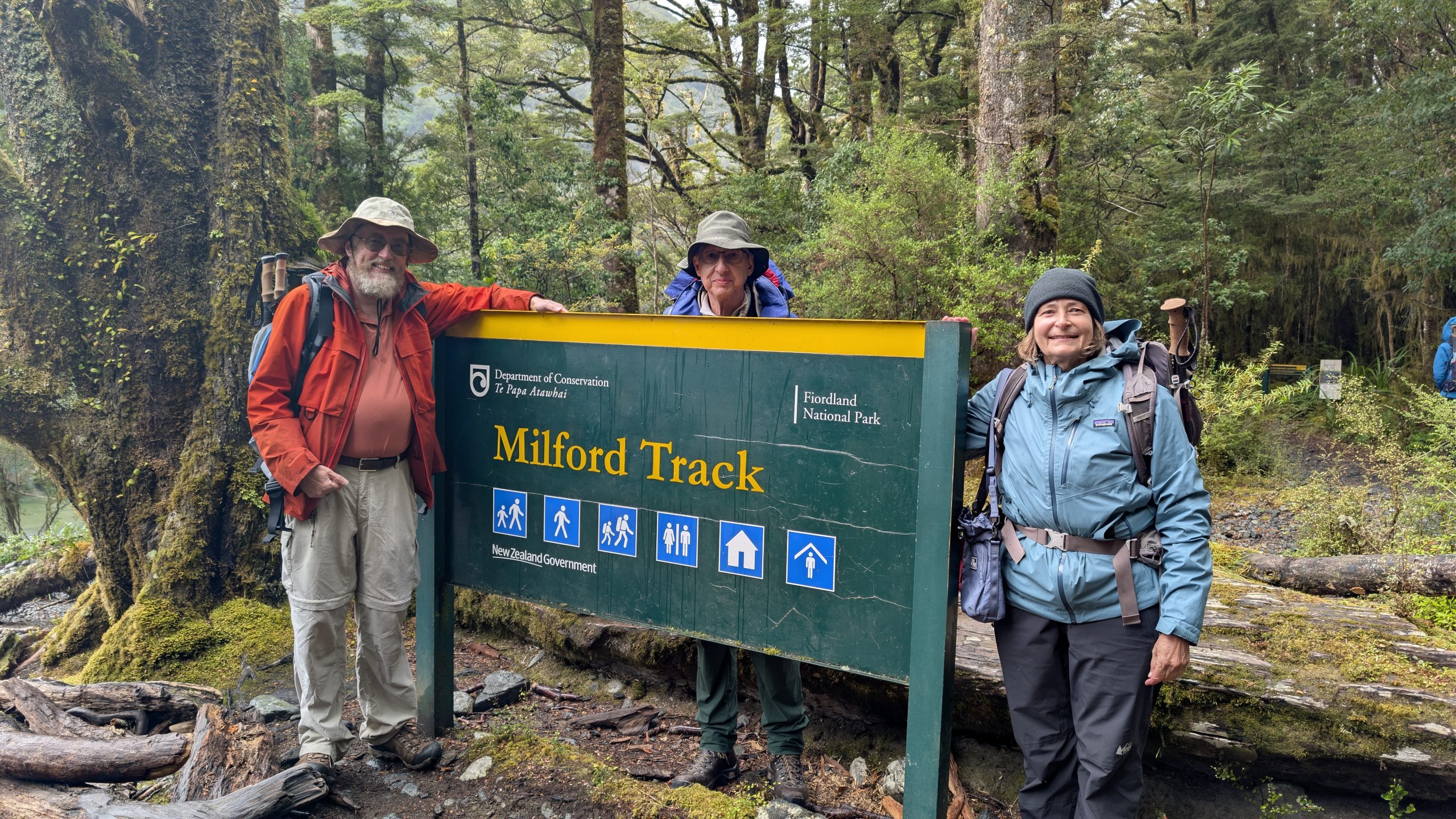
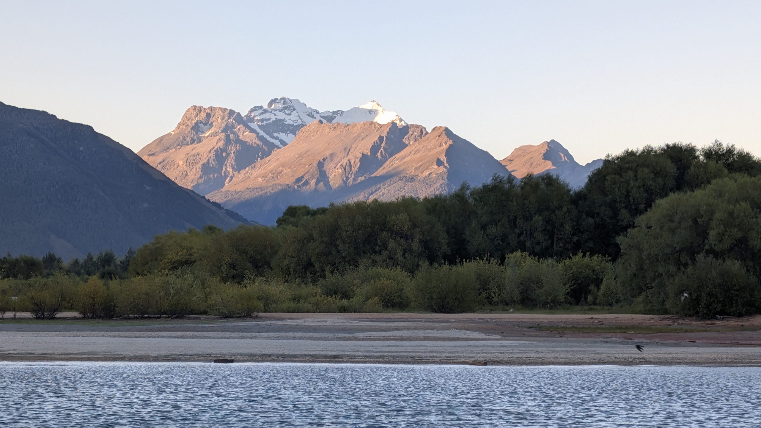
February 10, 2026
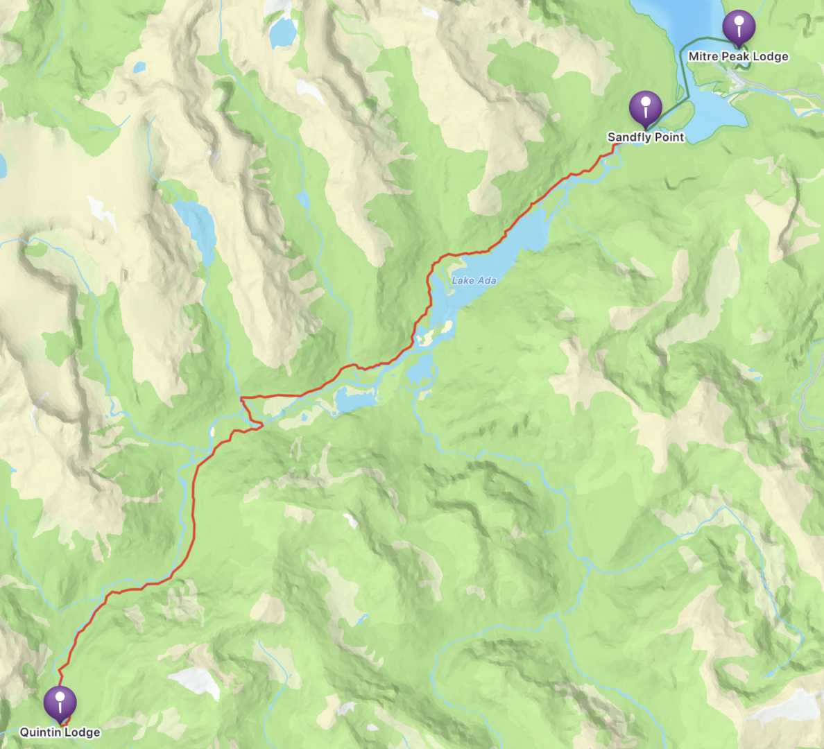
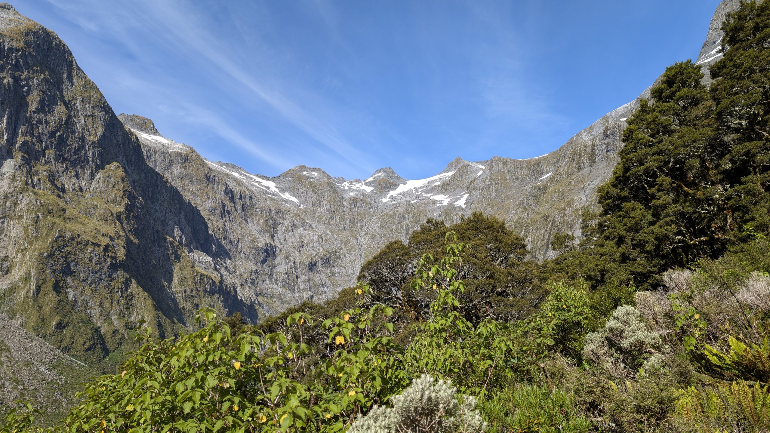
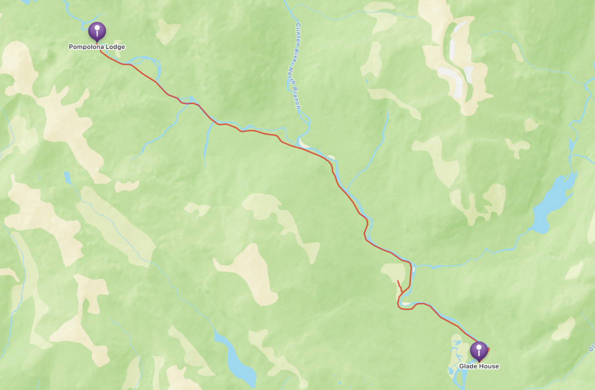
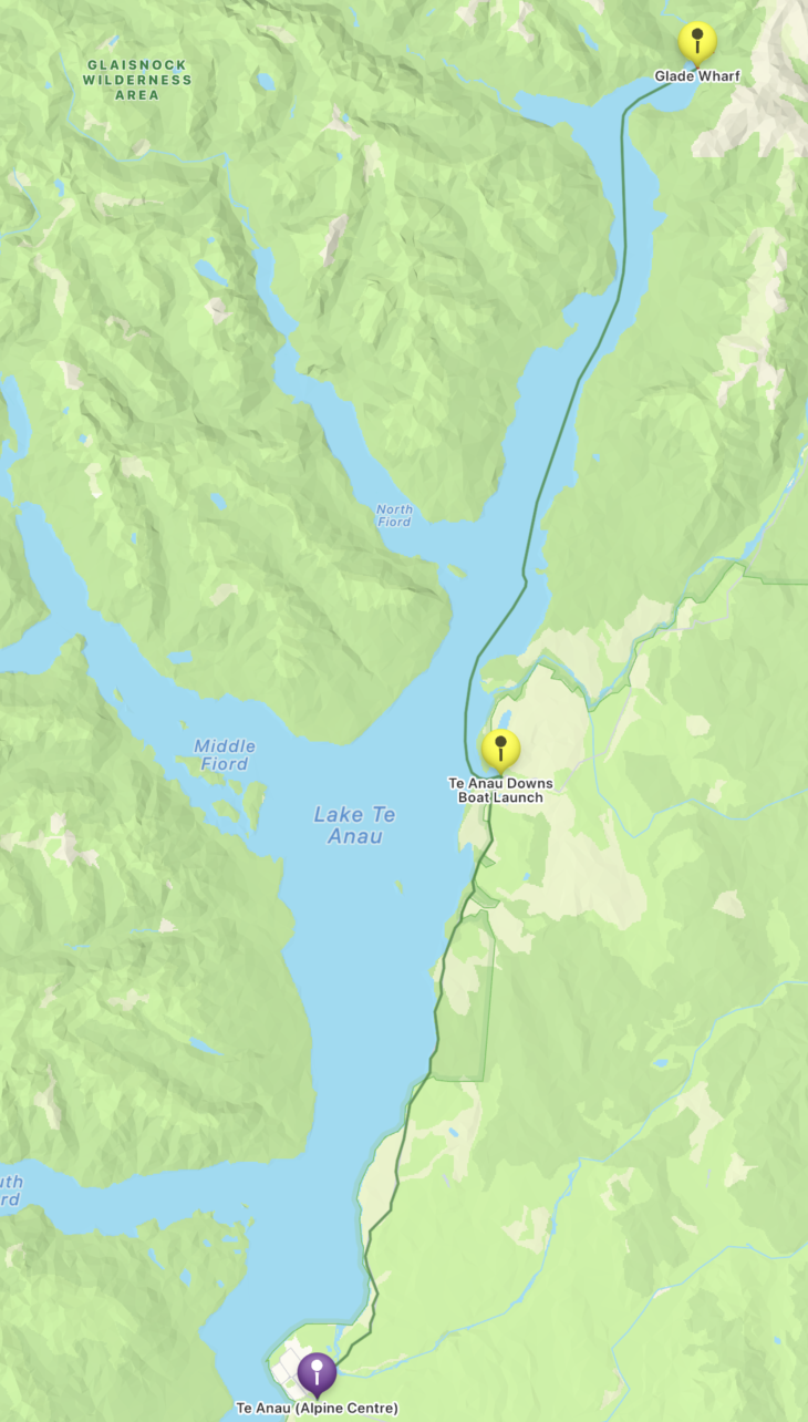
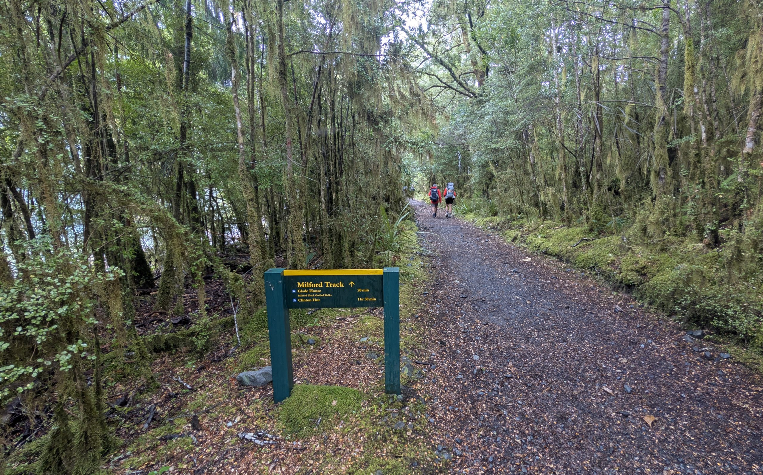
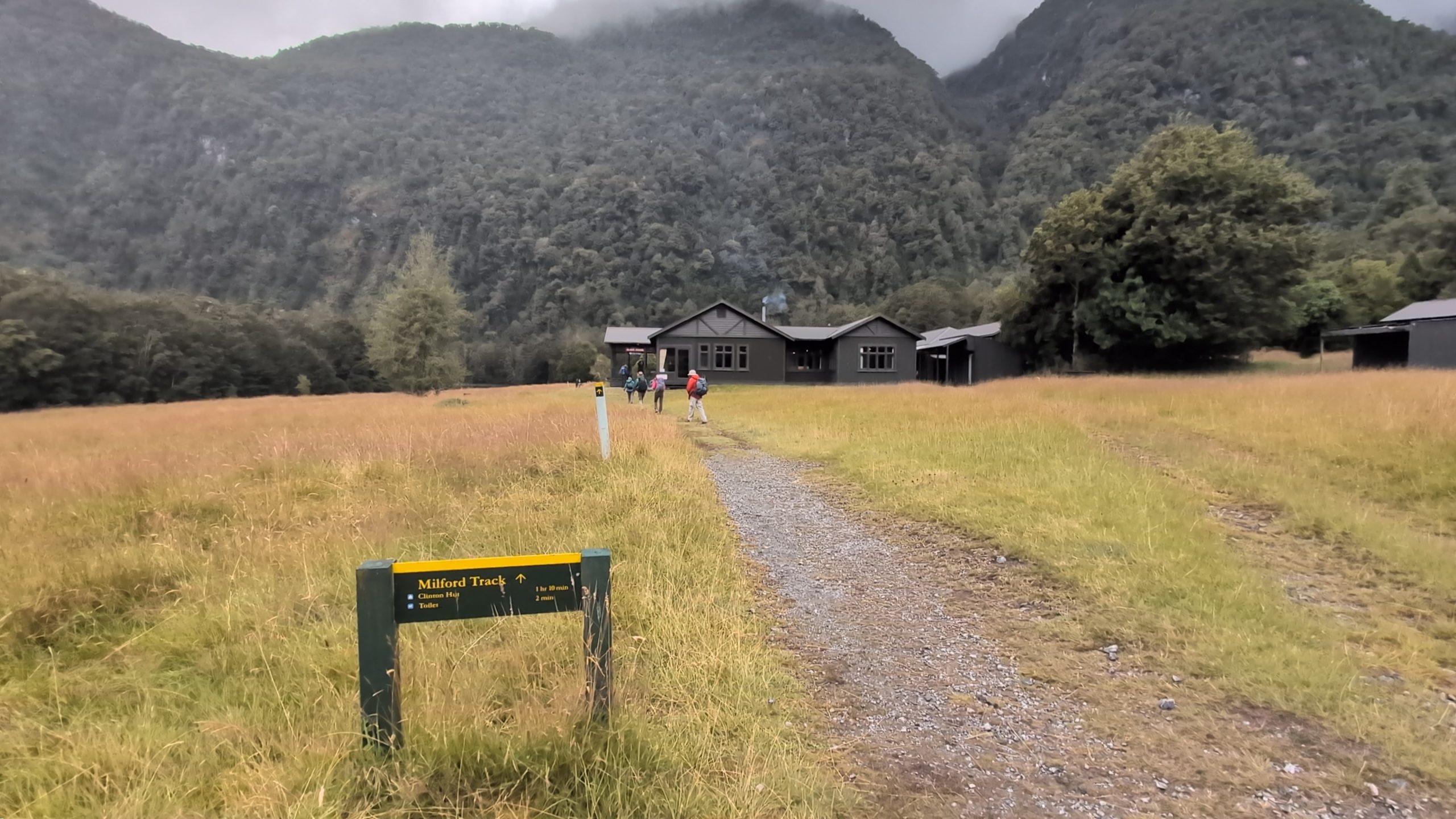
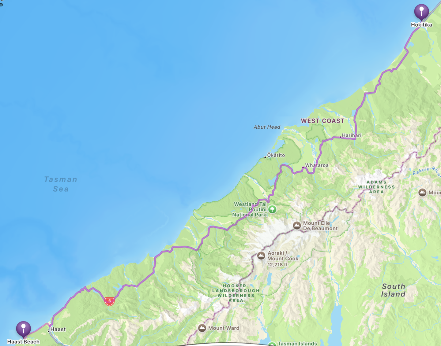
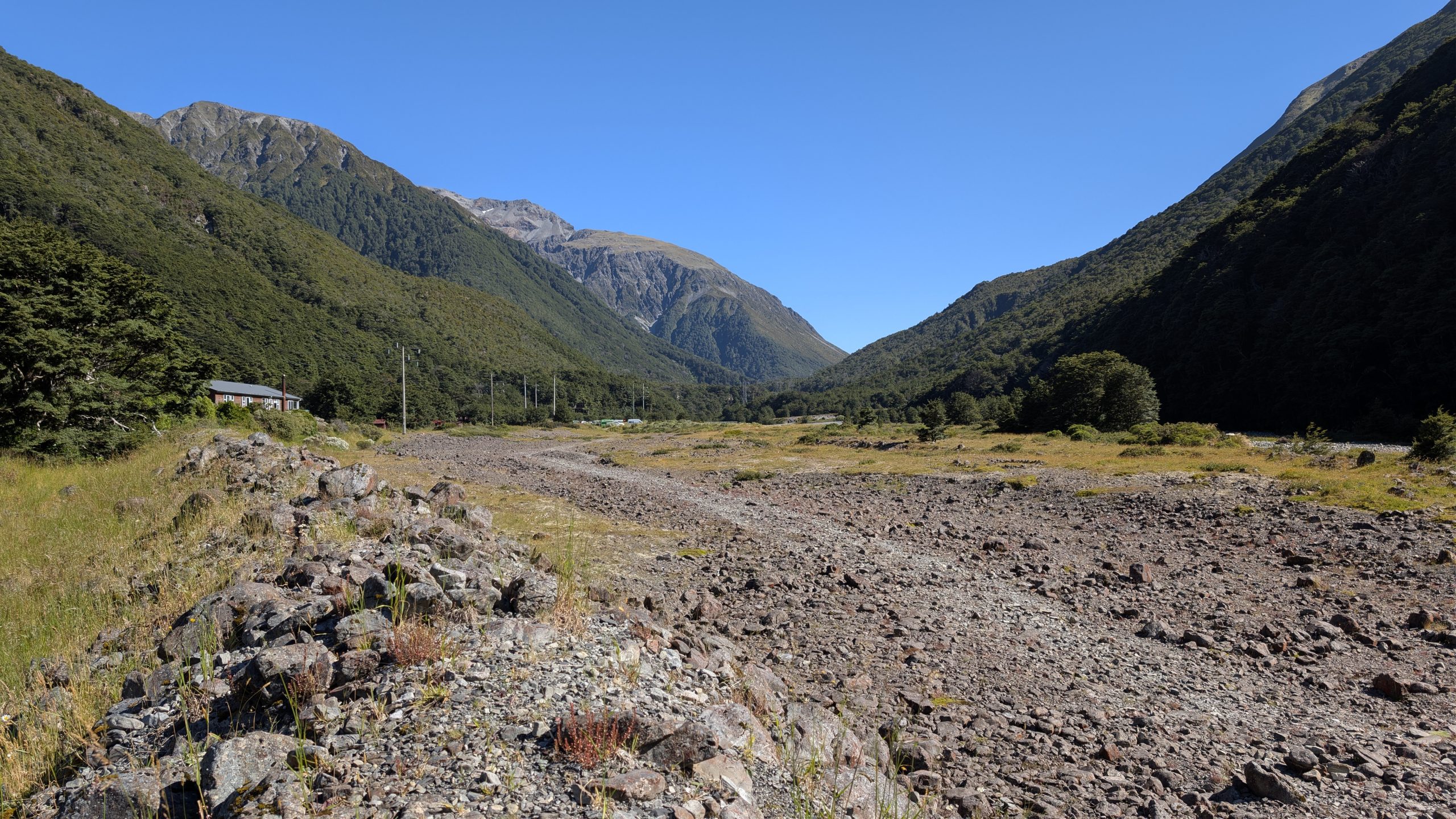
We woke up to a cloudy day, and the weather forecast was for rain later in the day. The hike to Milford Sound was the longest of the 4 days: 13.5 miles. Fortunately the terrain was mostly flat, leading slowly downhill to sea level.
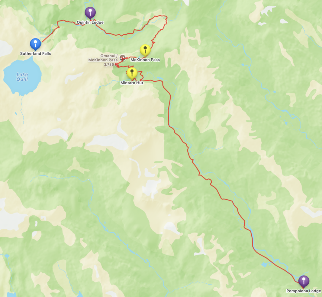
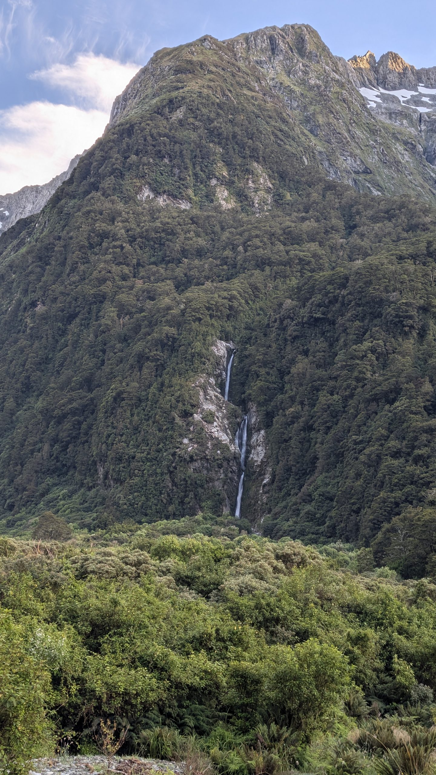
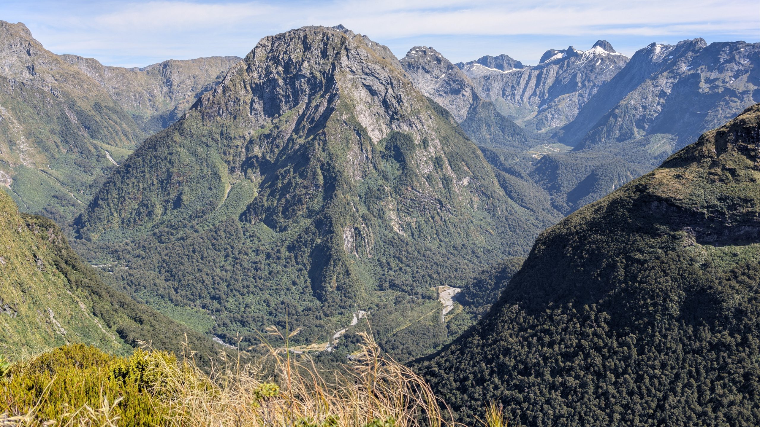
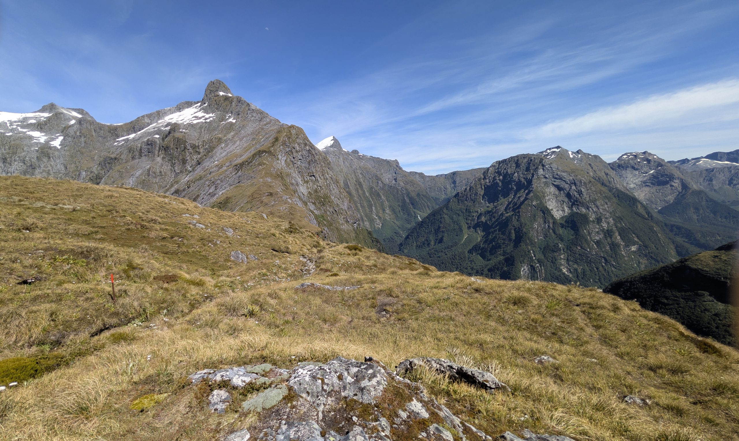
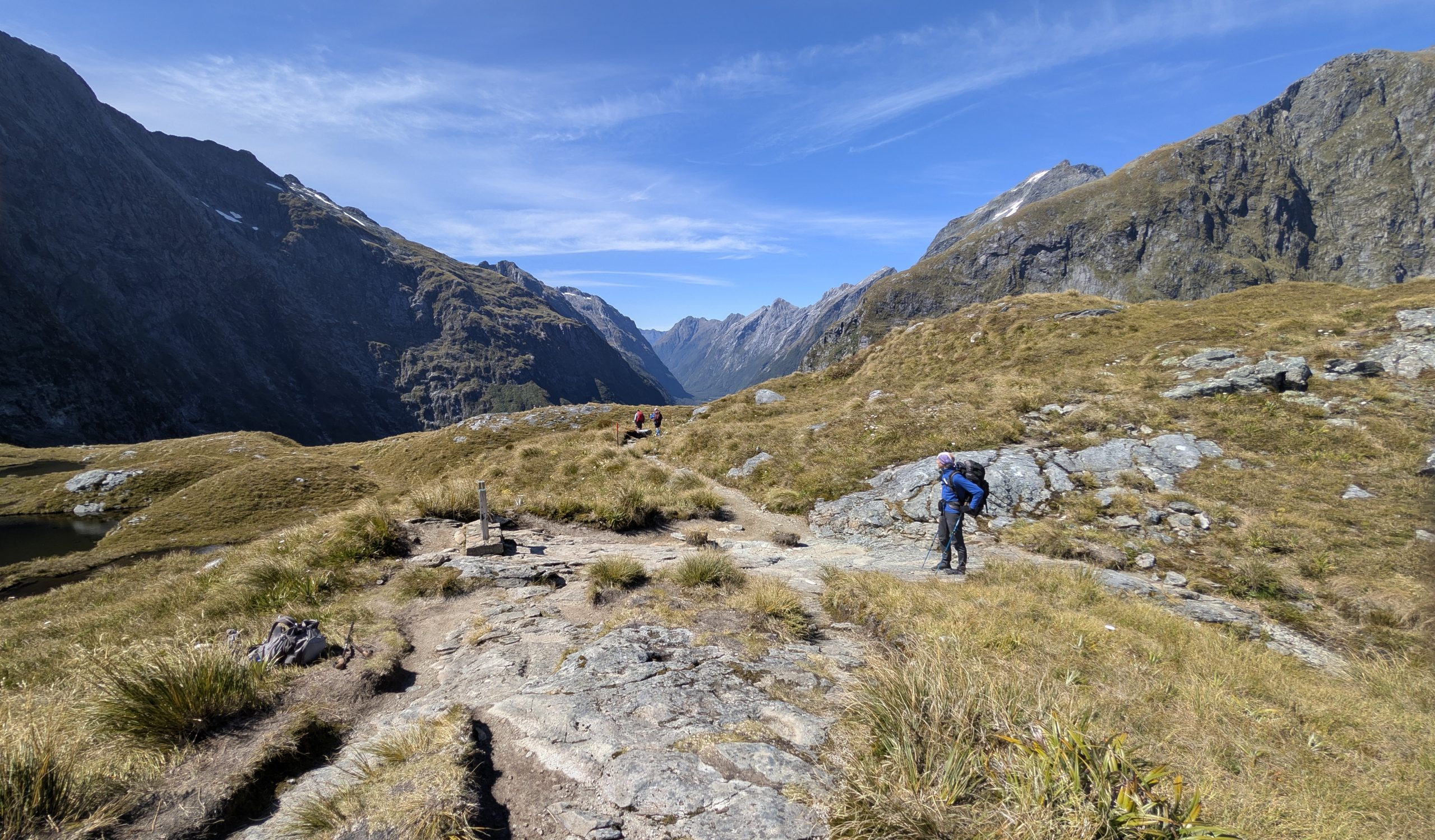
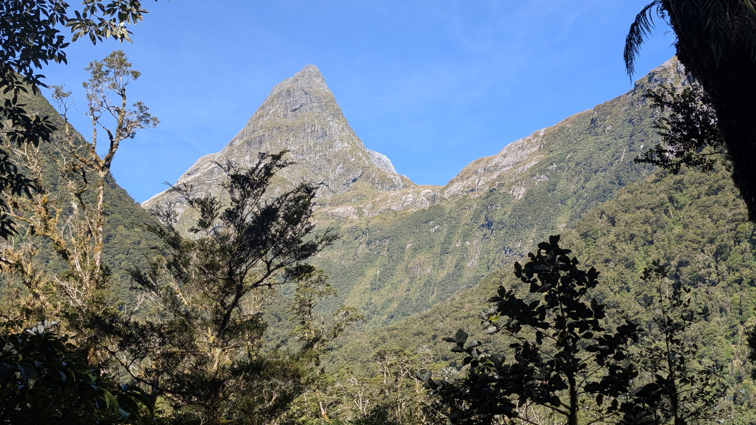
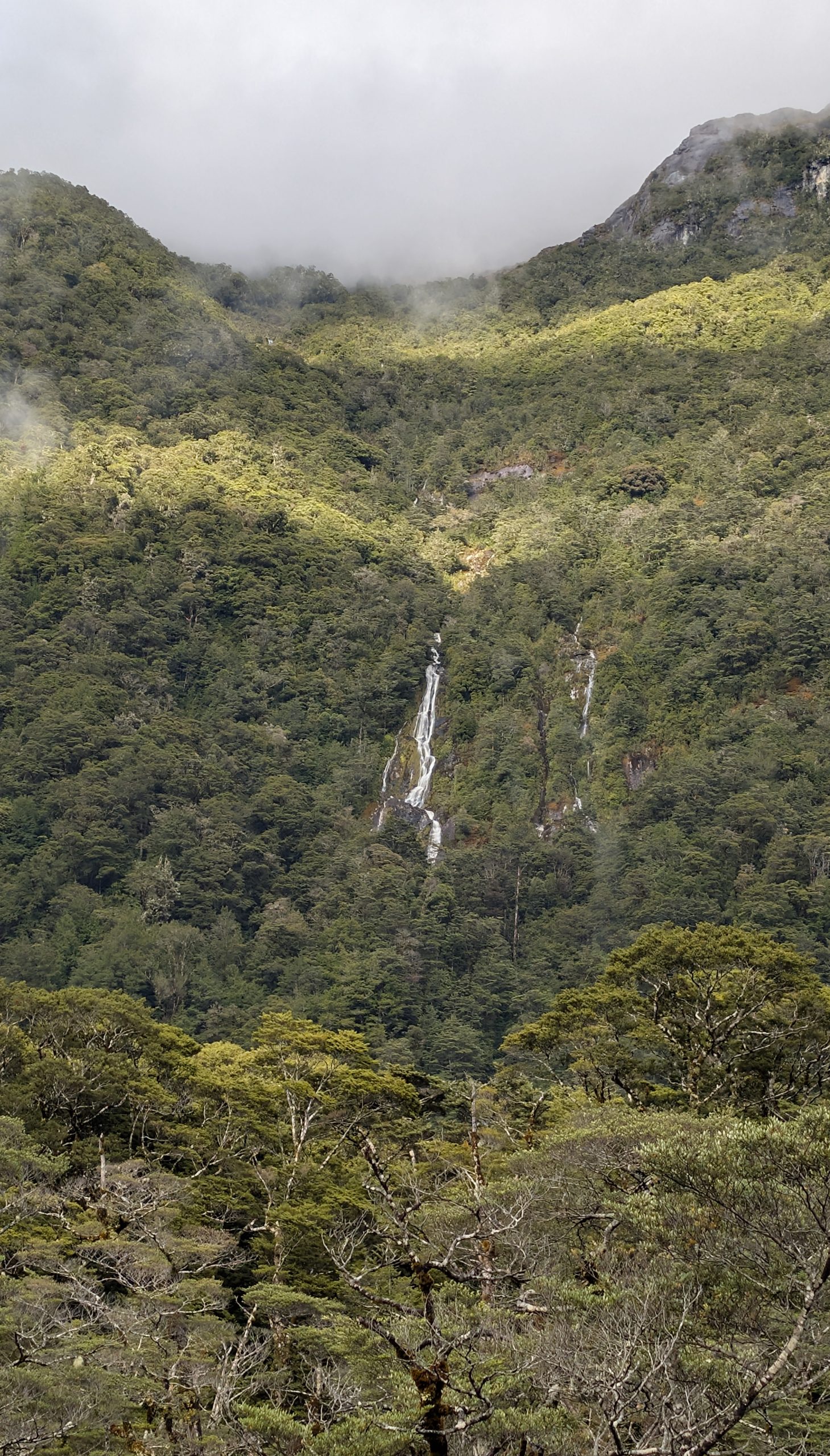
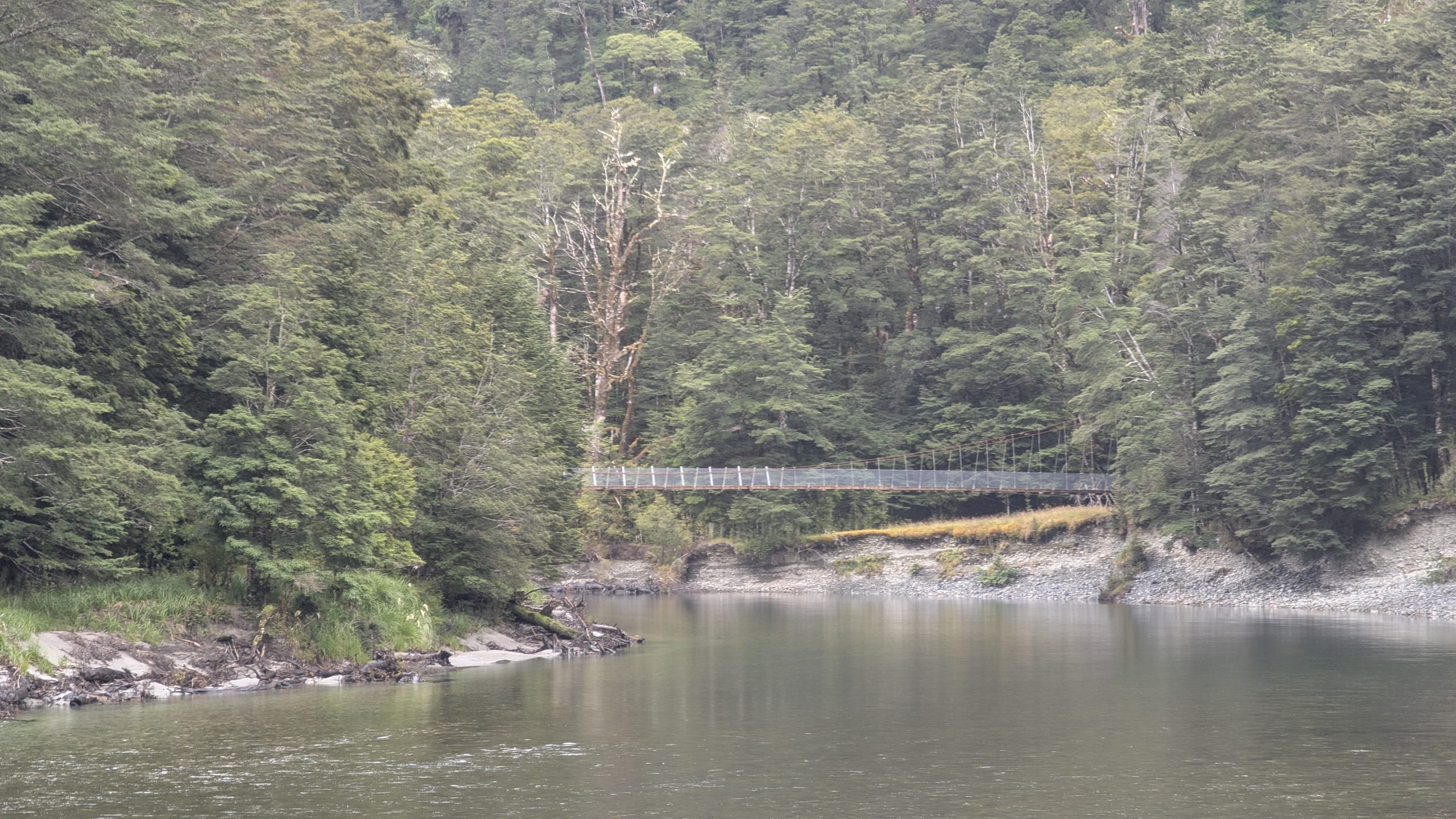
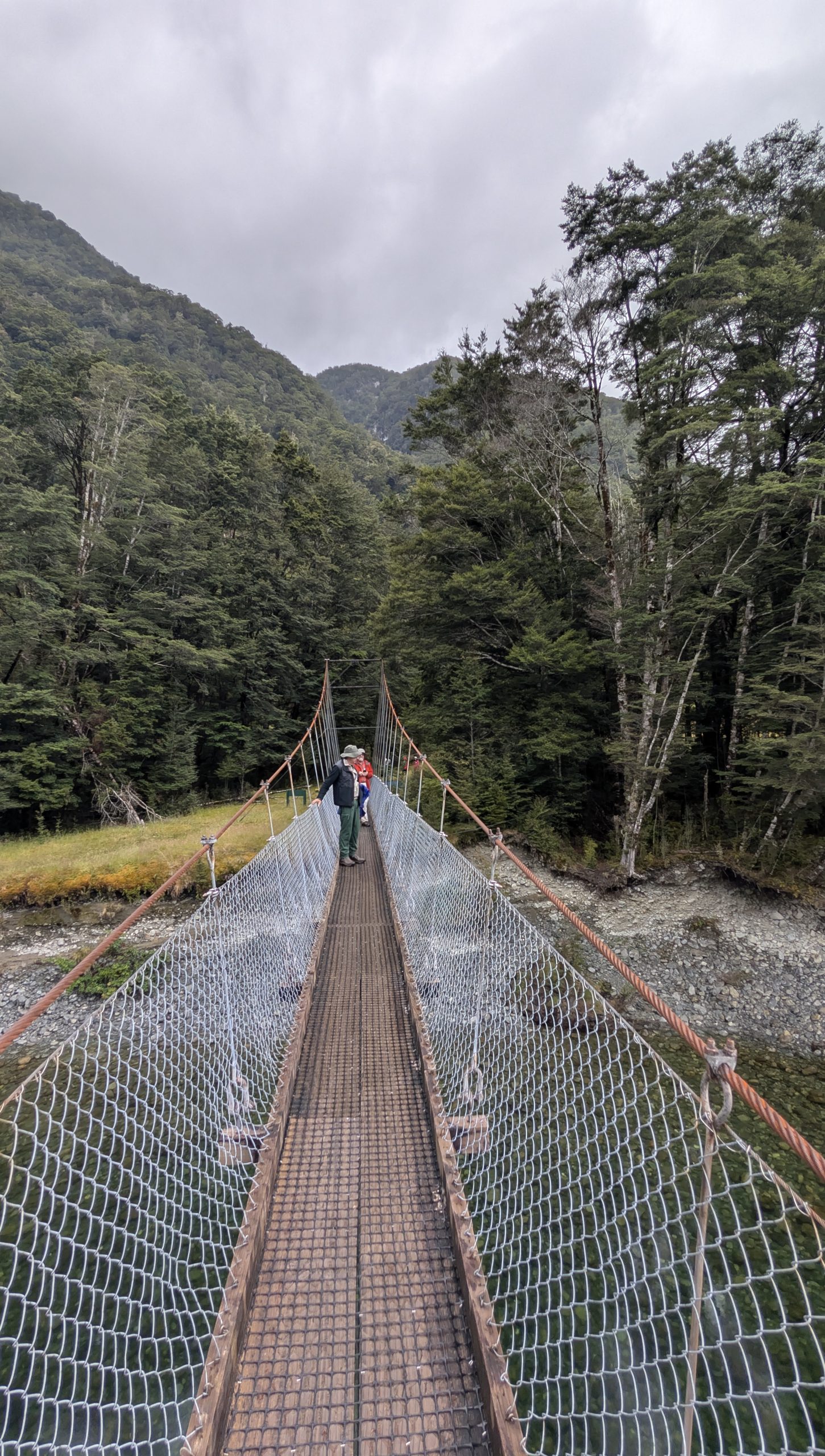
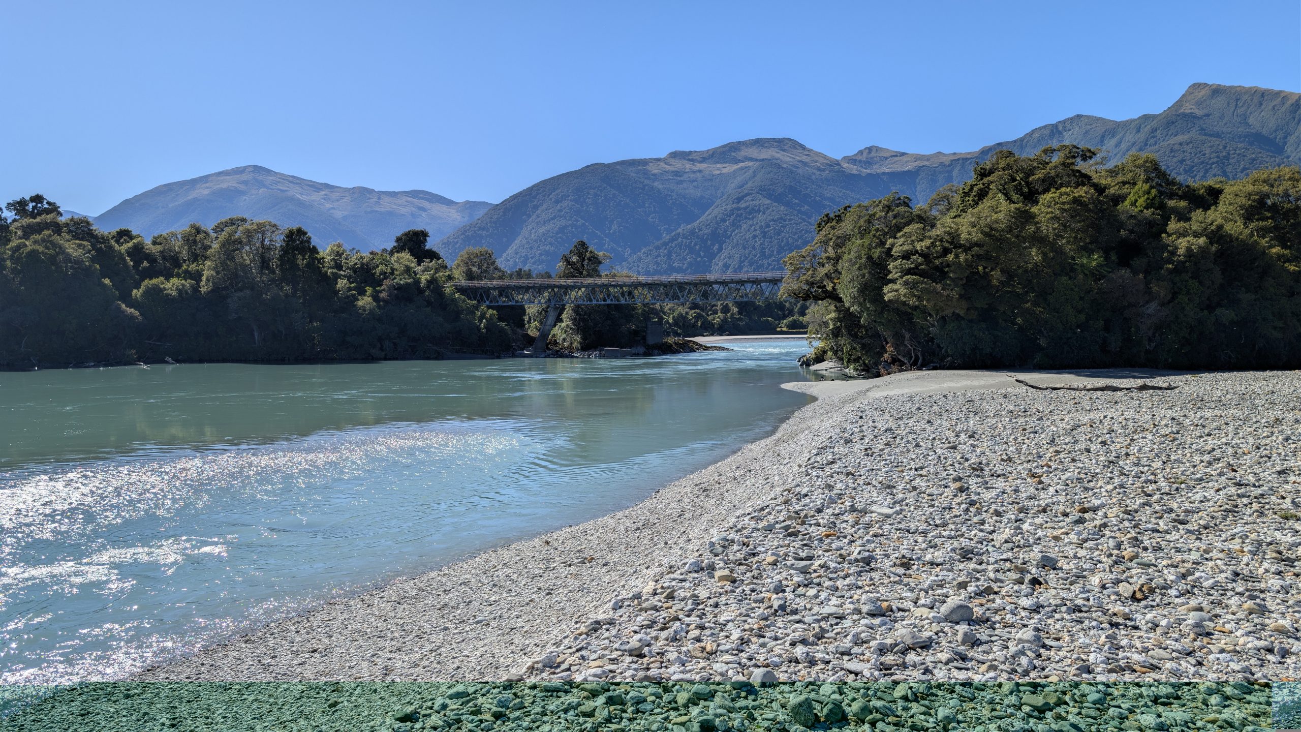
We crossed a swinging bridge and shortly afterwards got a distant view of Sutherland Falls.
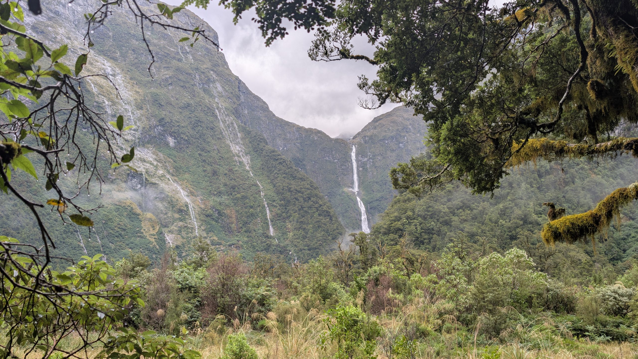
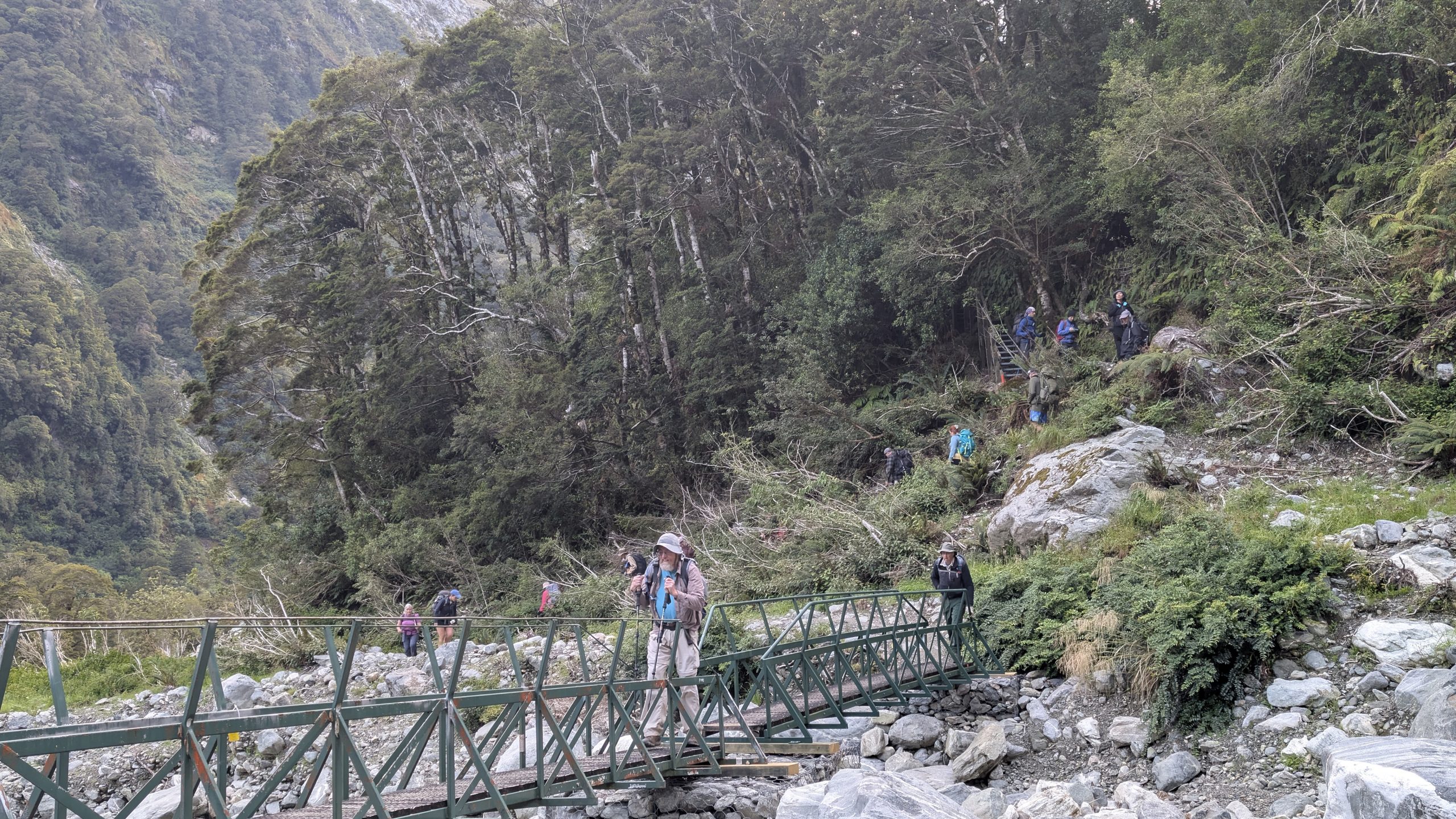
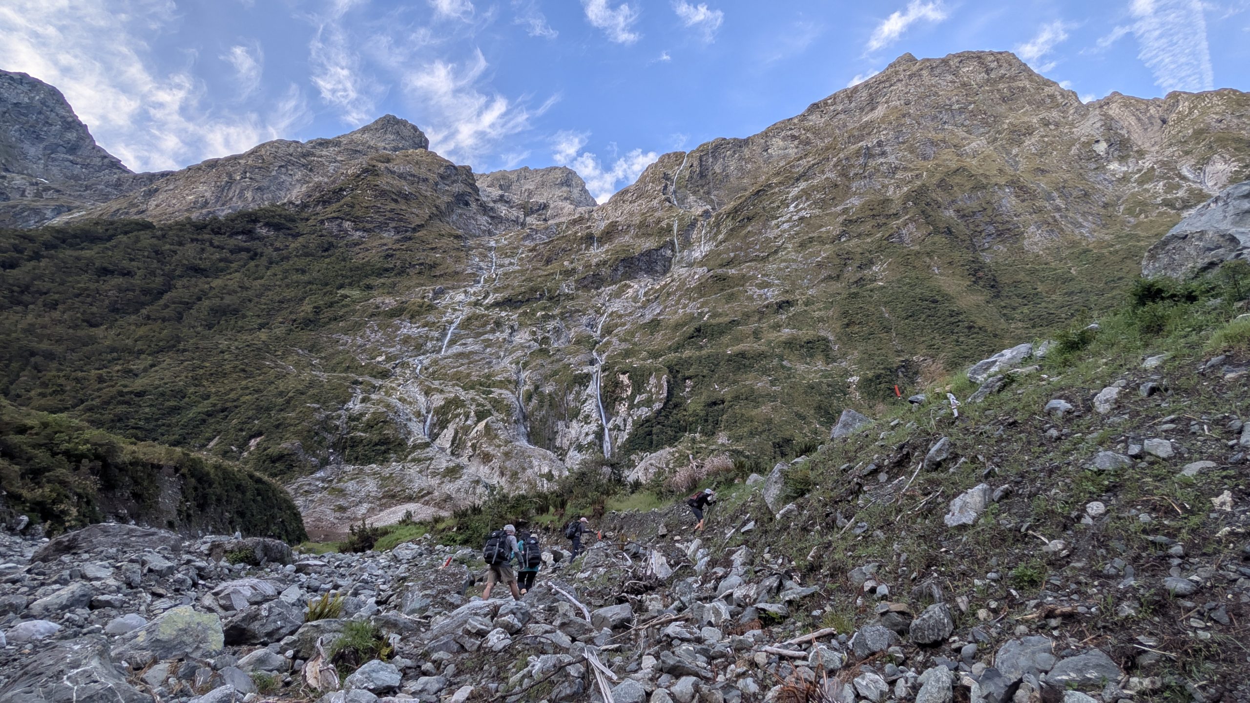
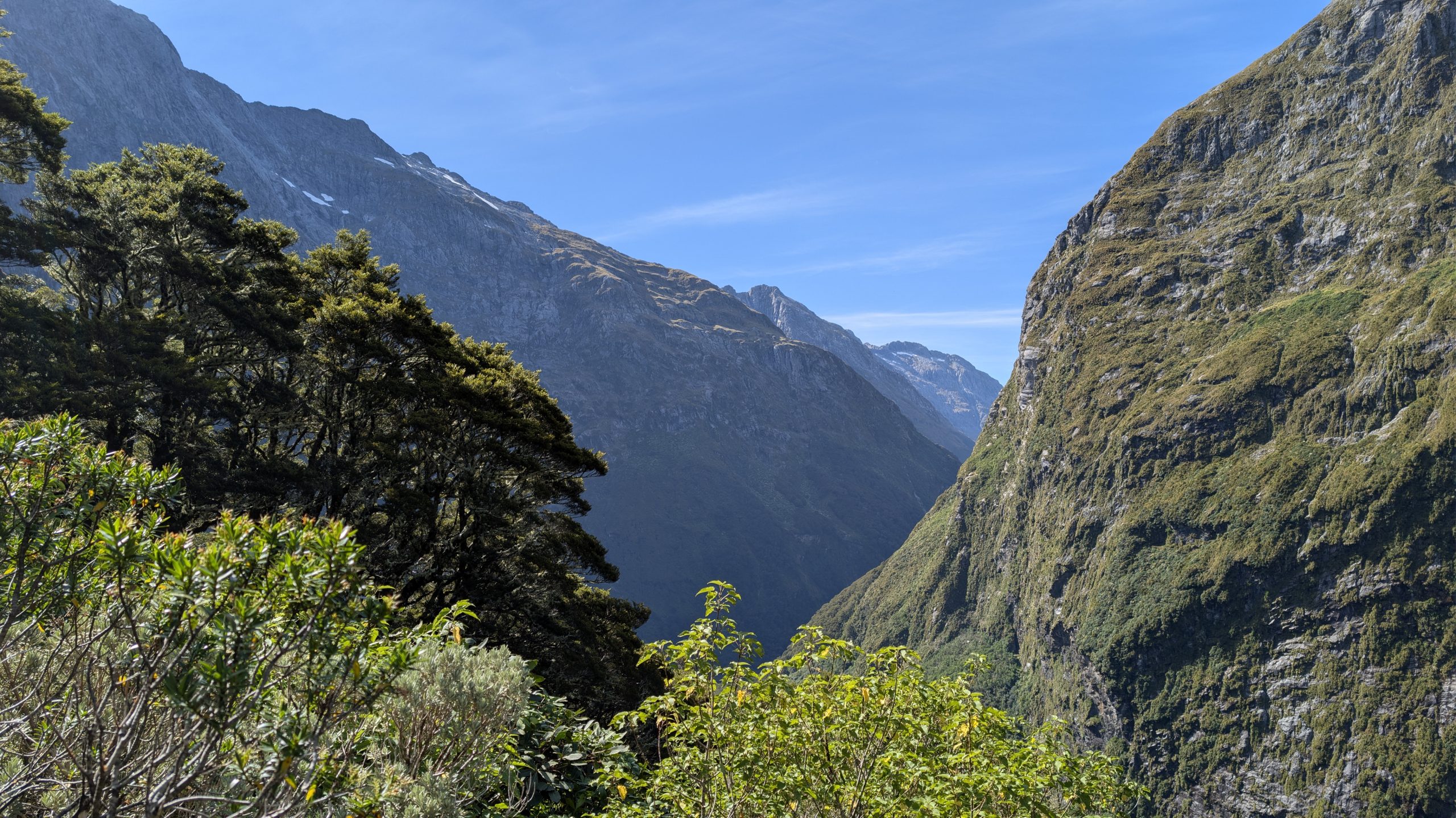
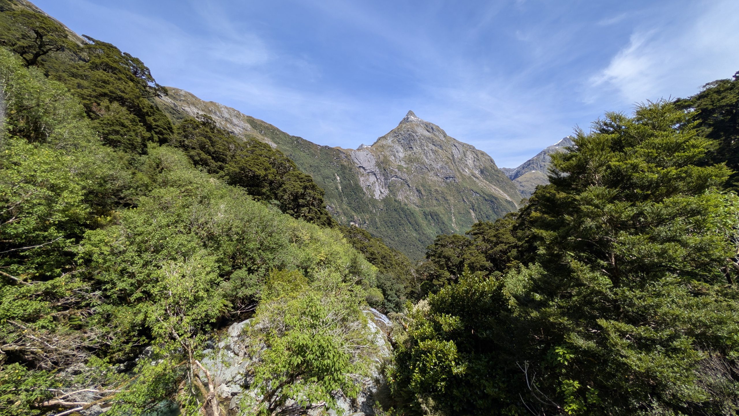
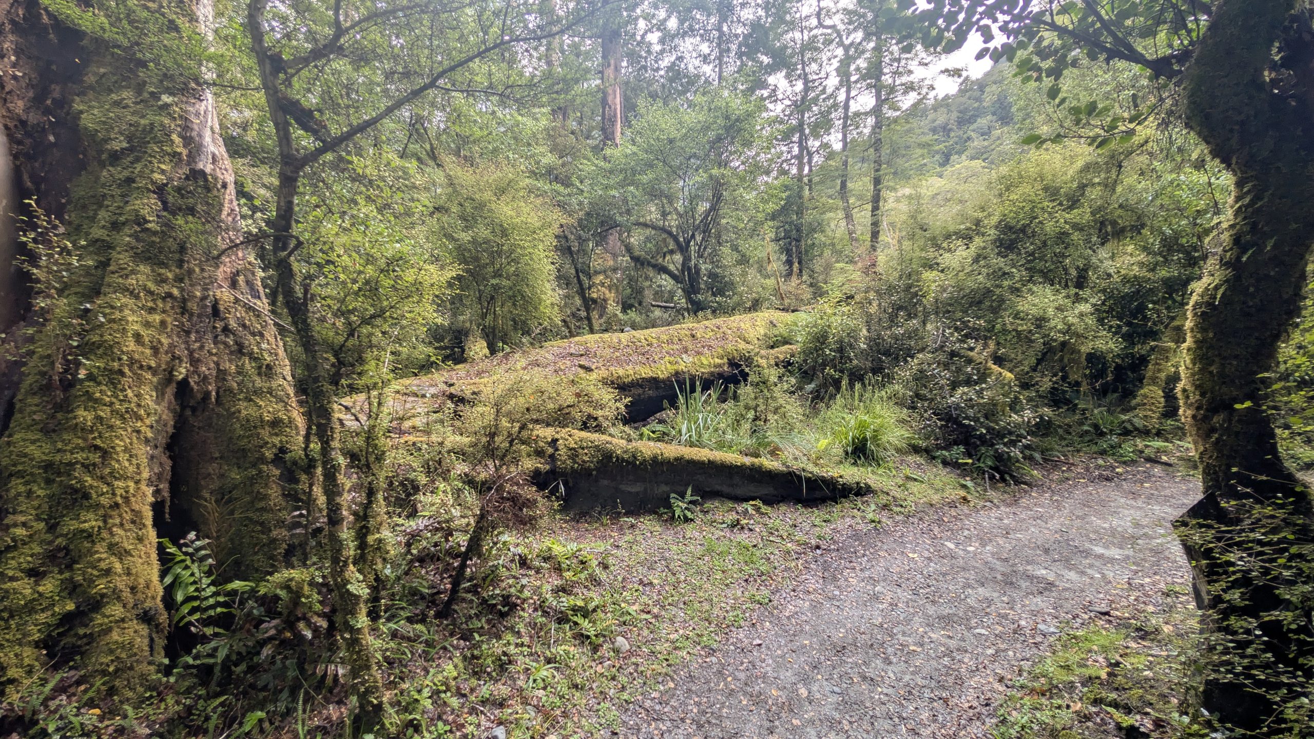
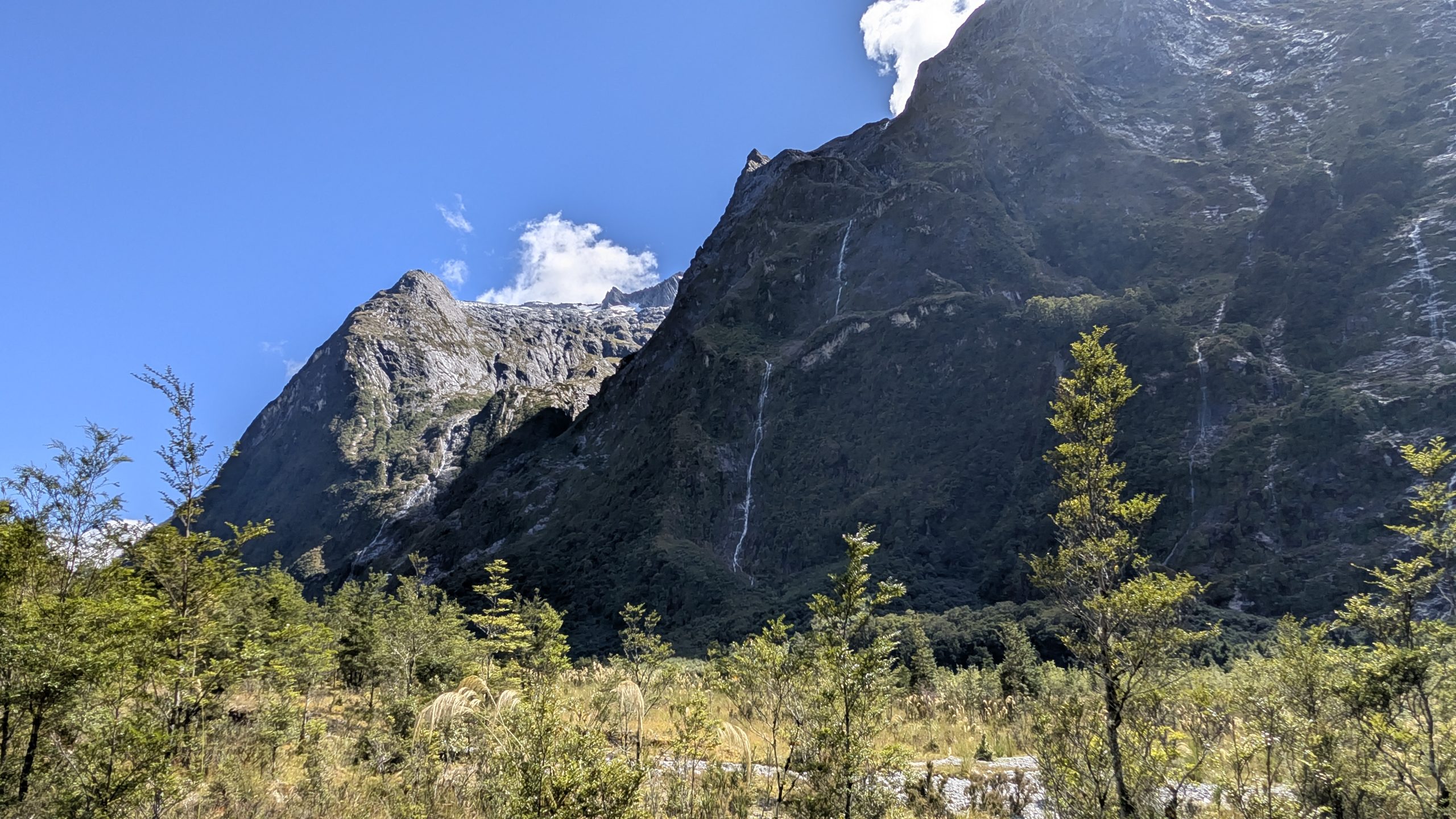
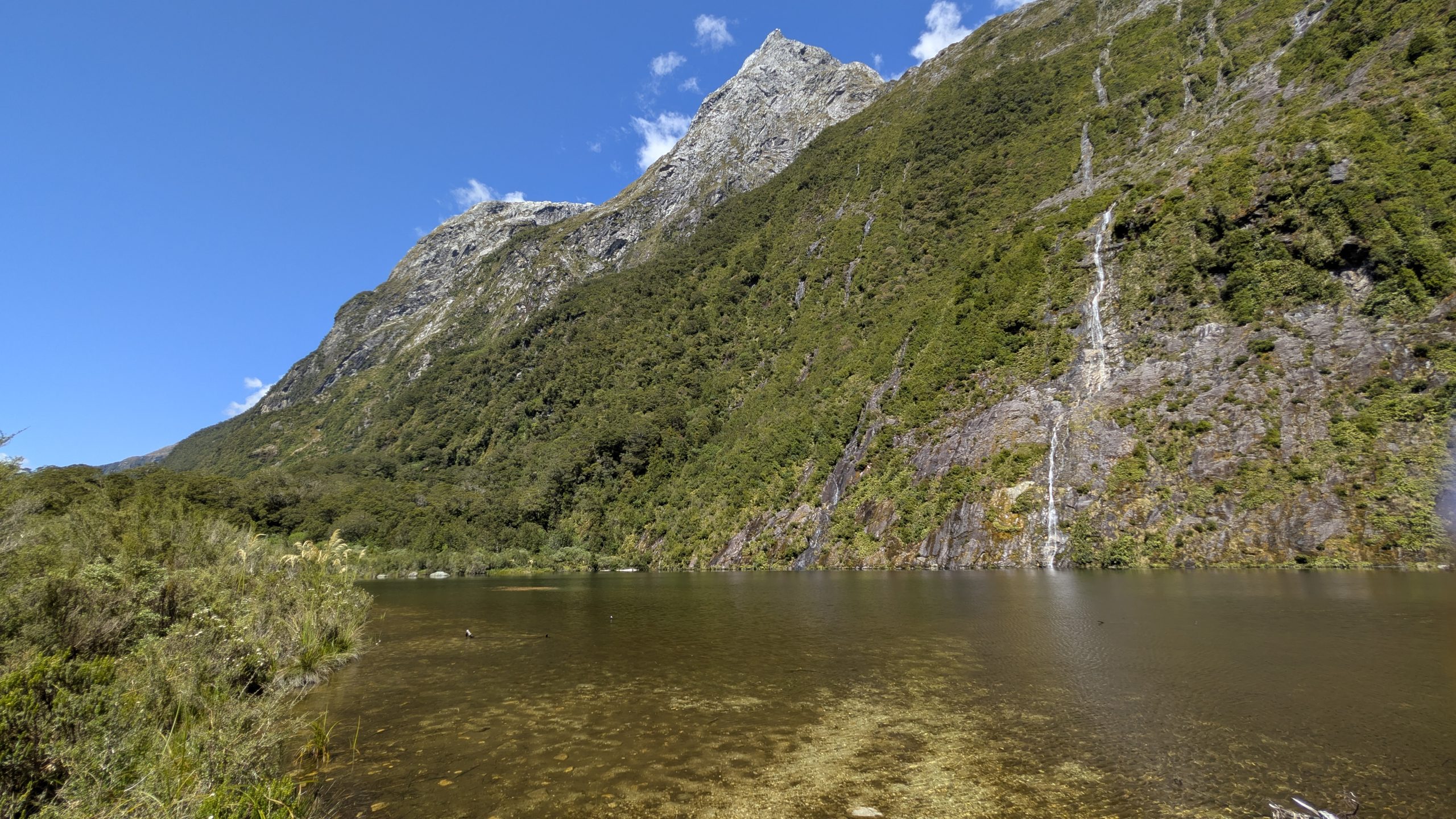
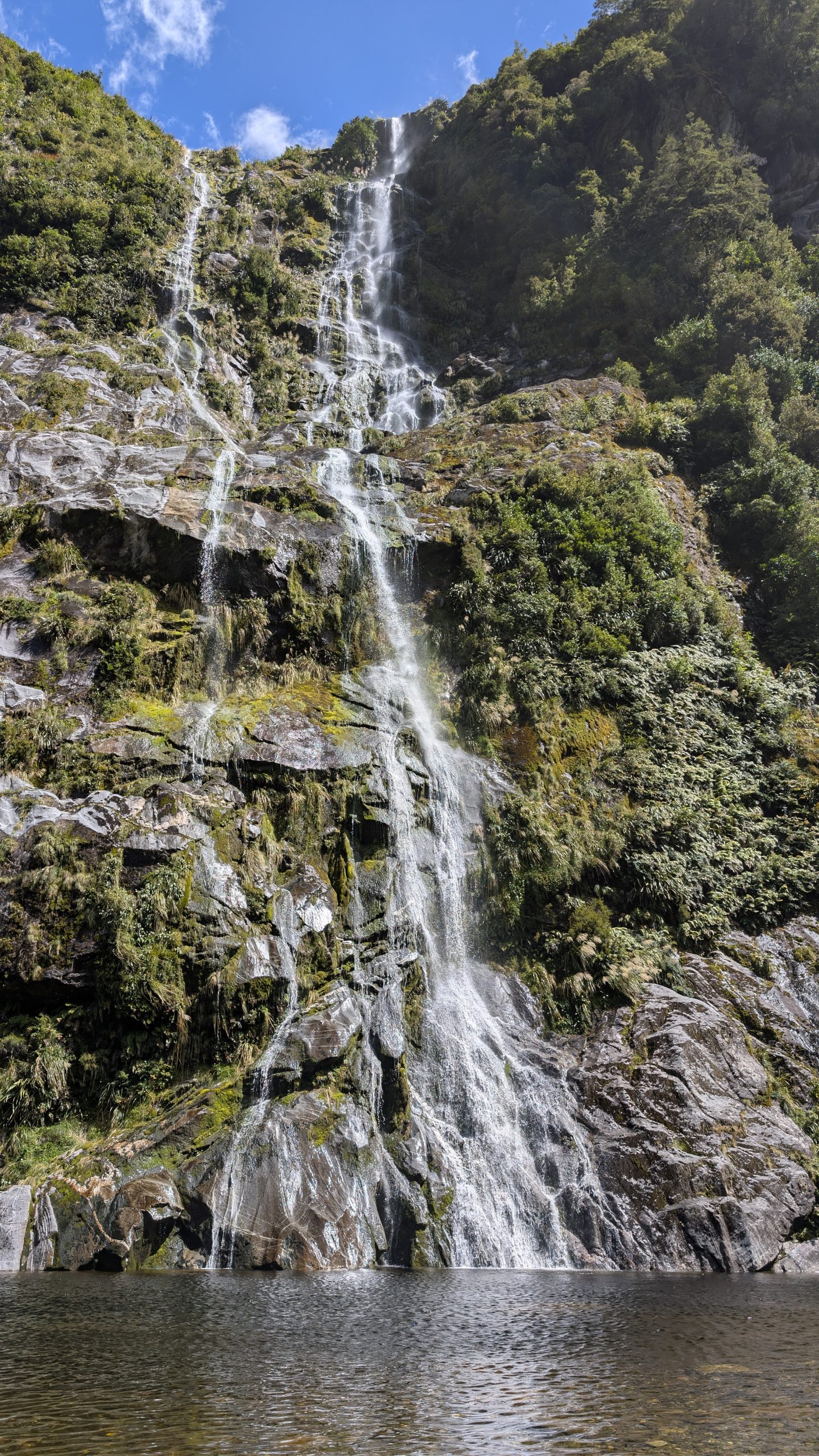
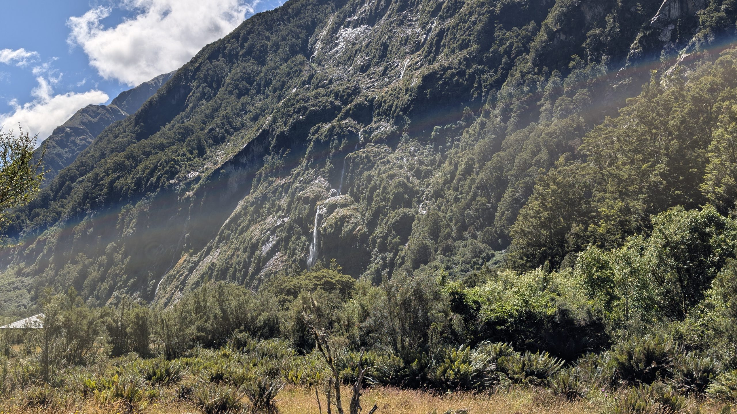
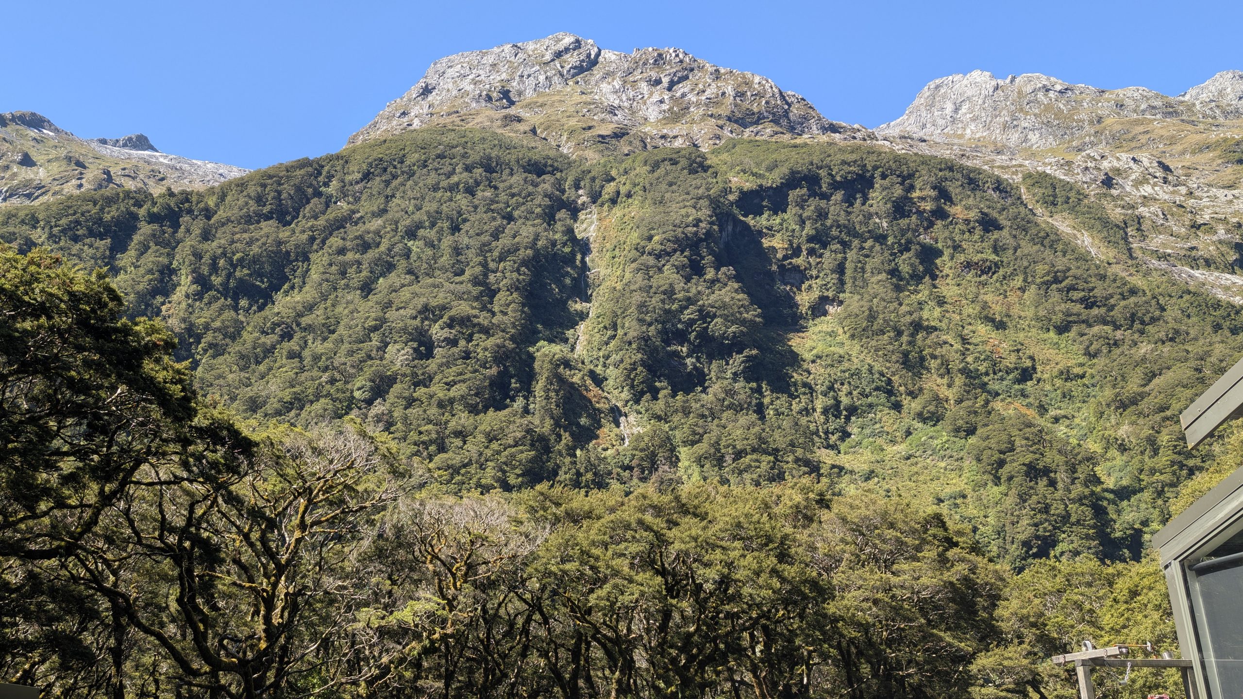
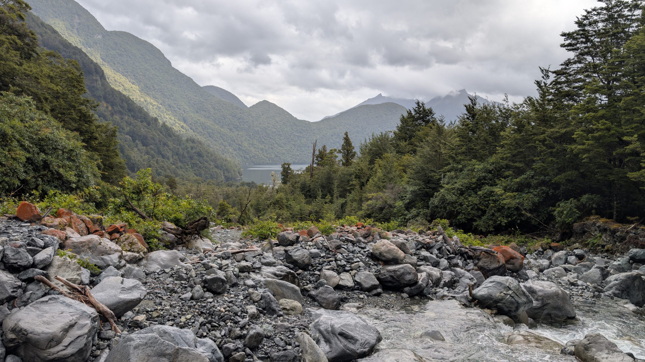
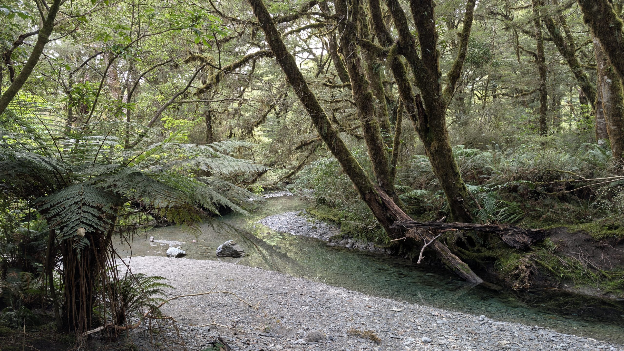
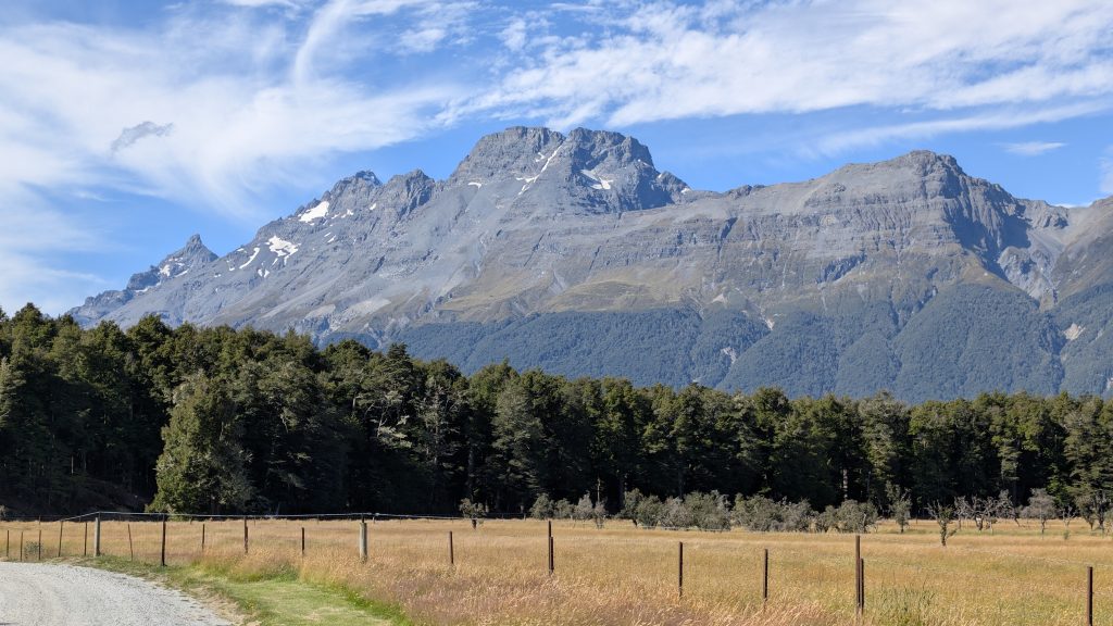
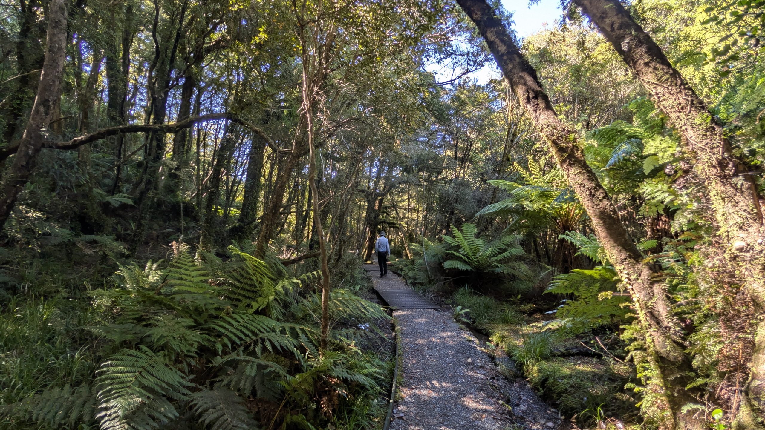
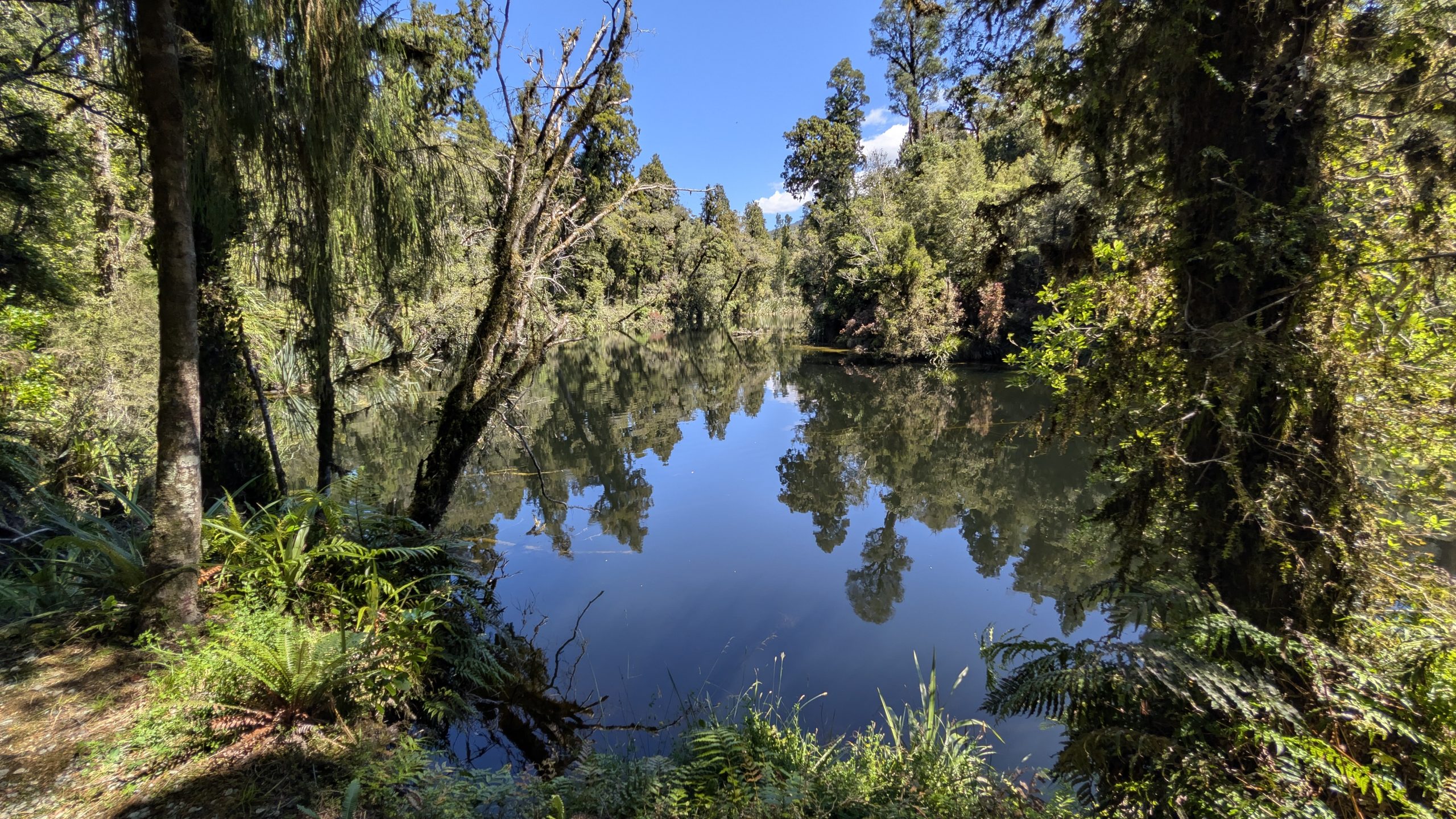
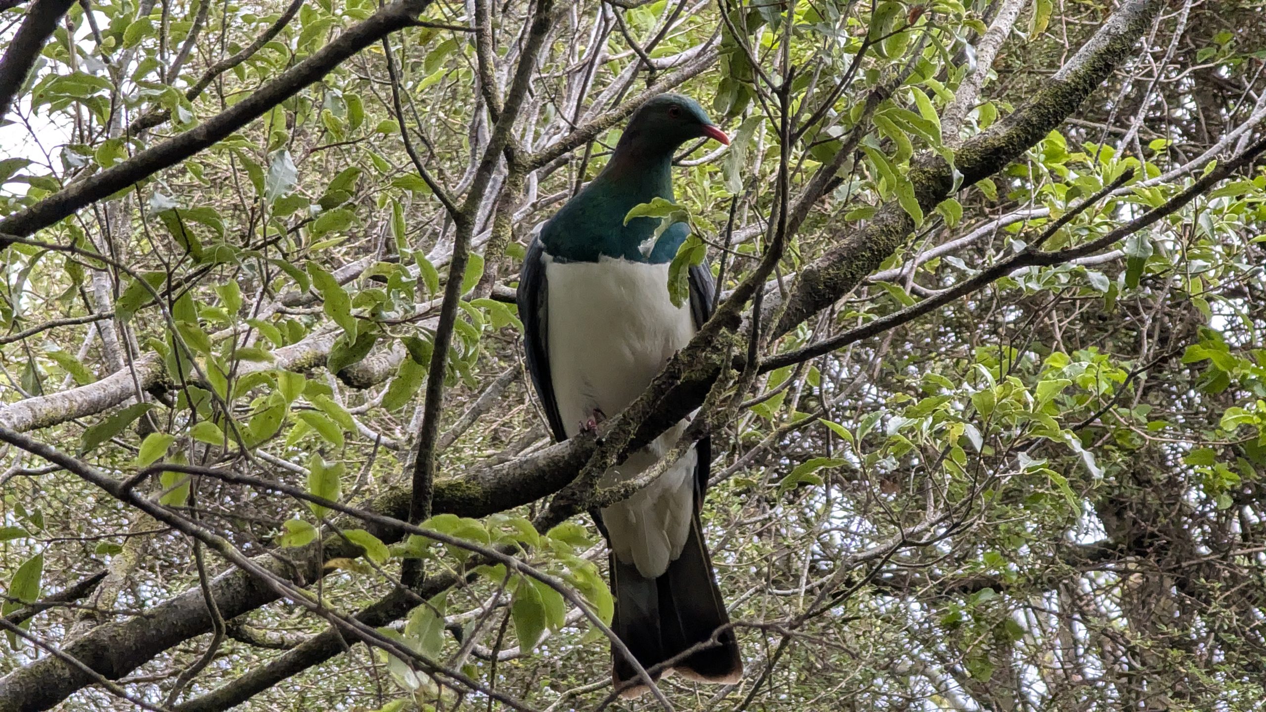
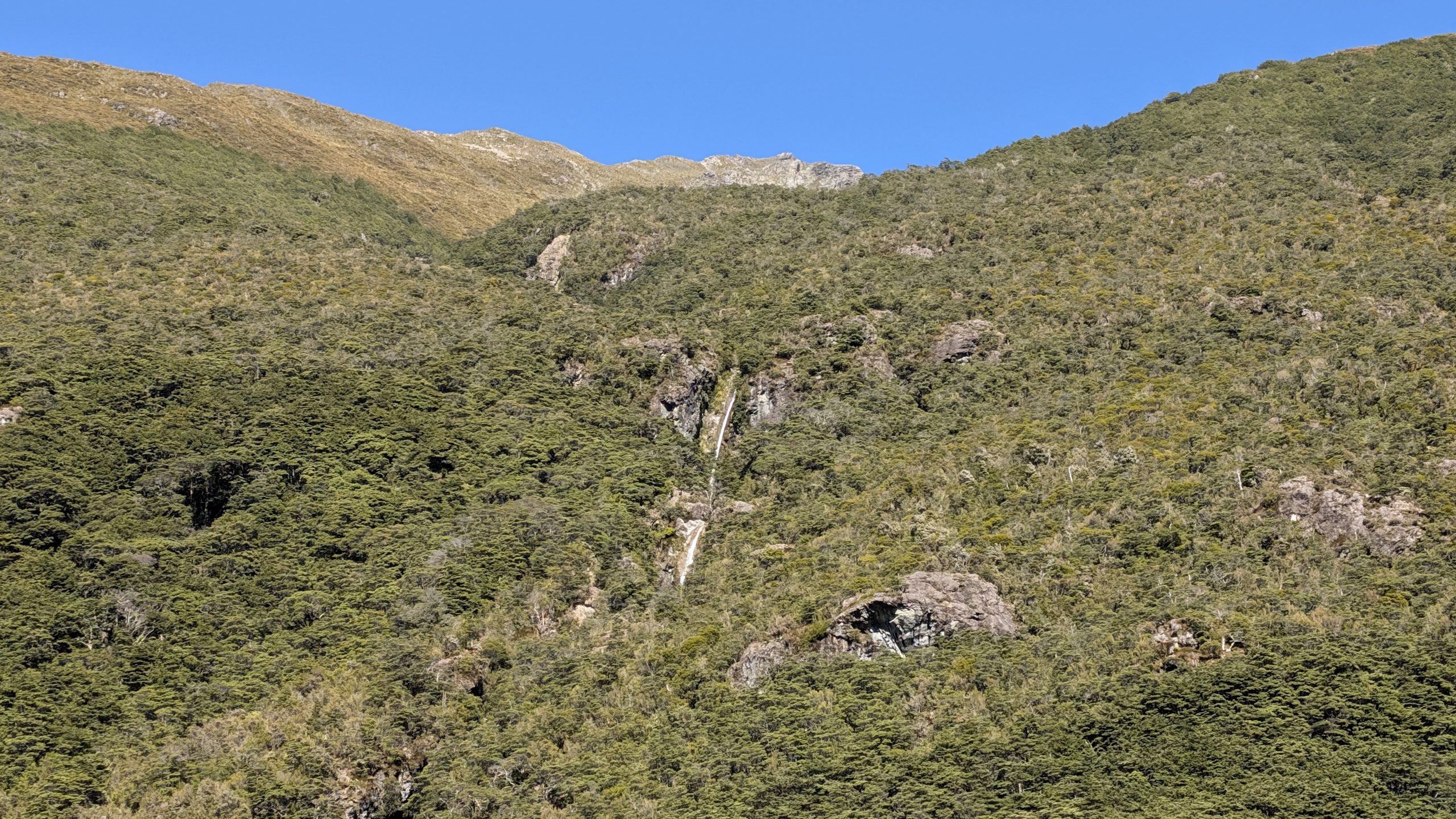
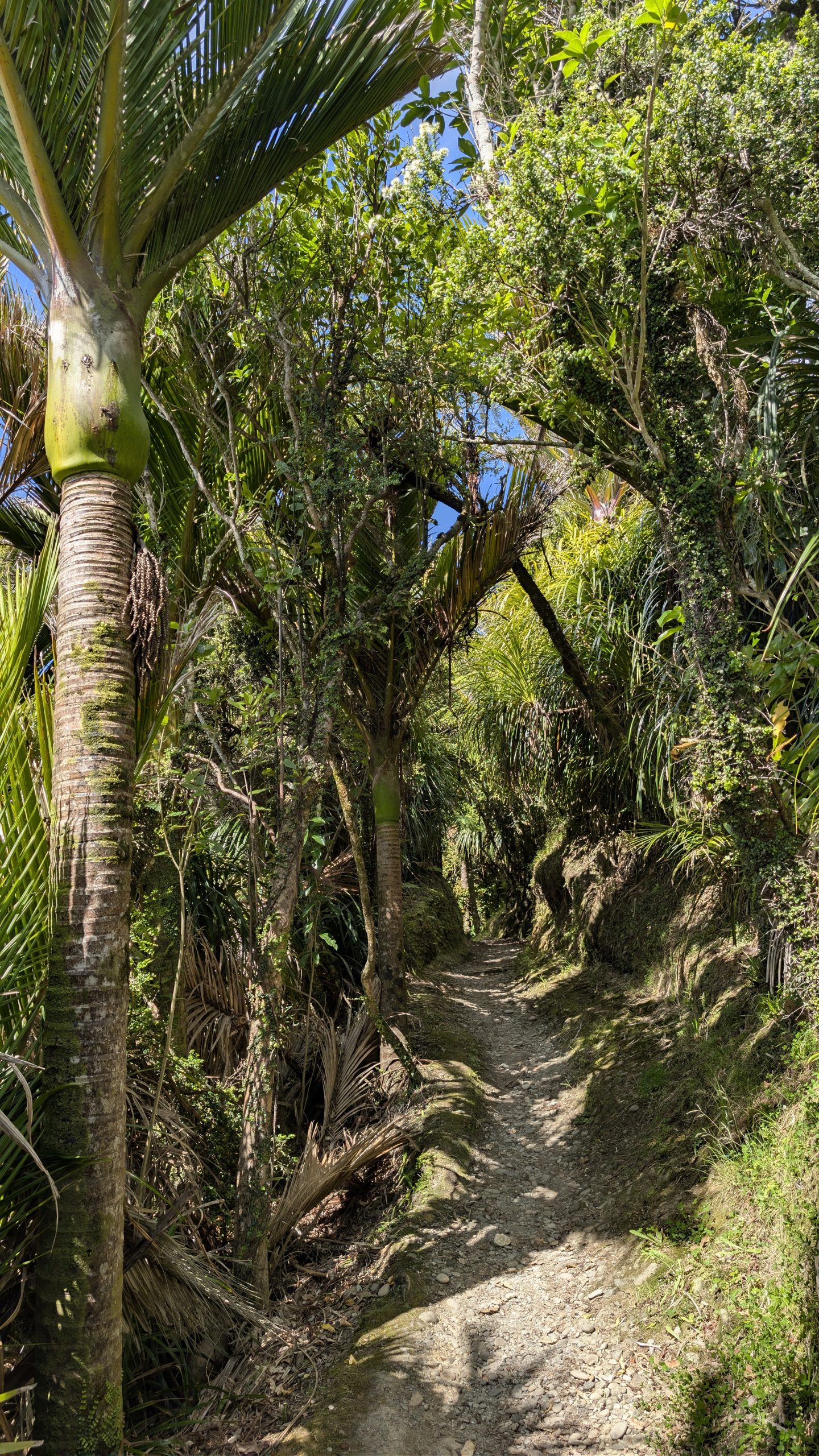
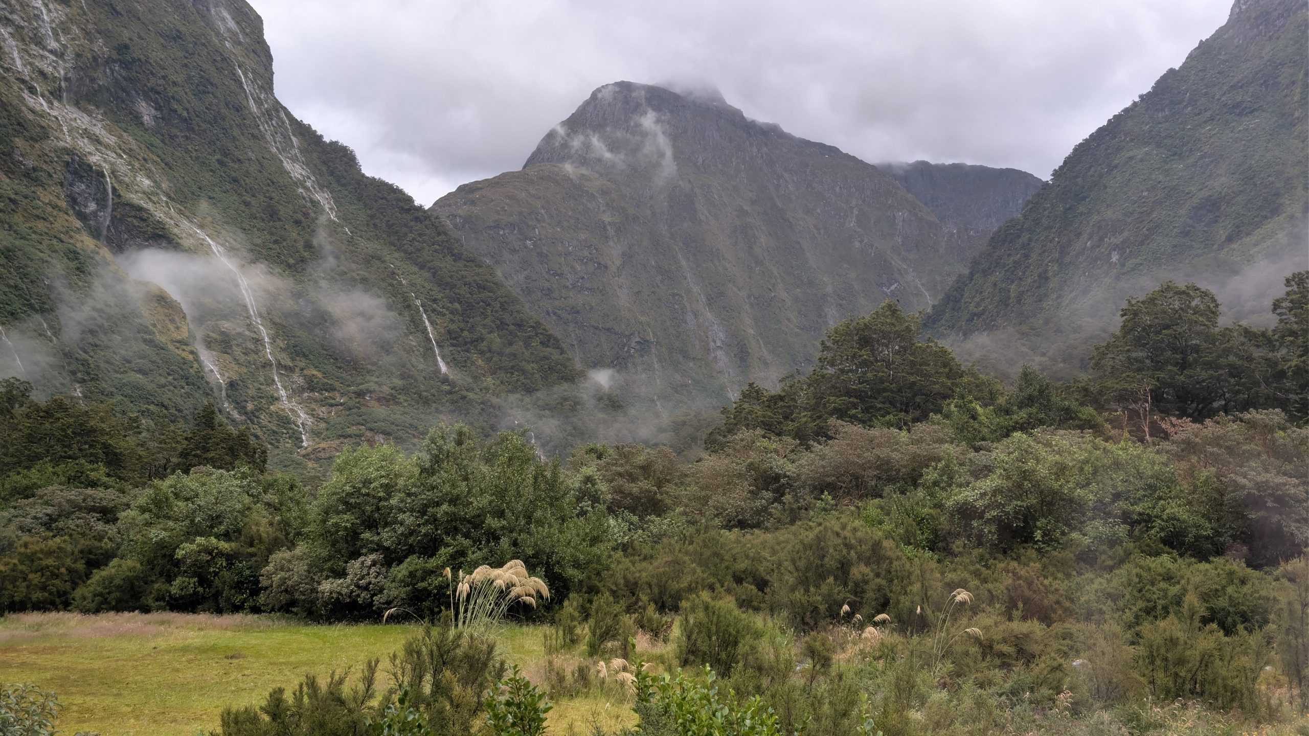
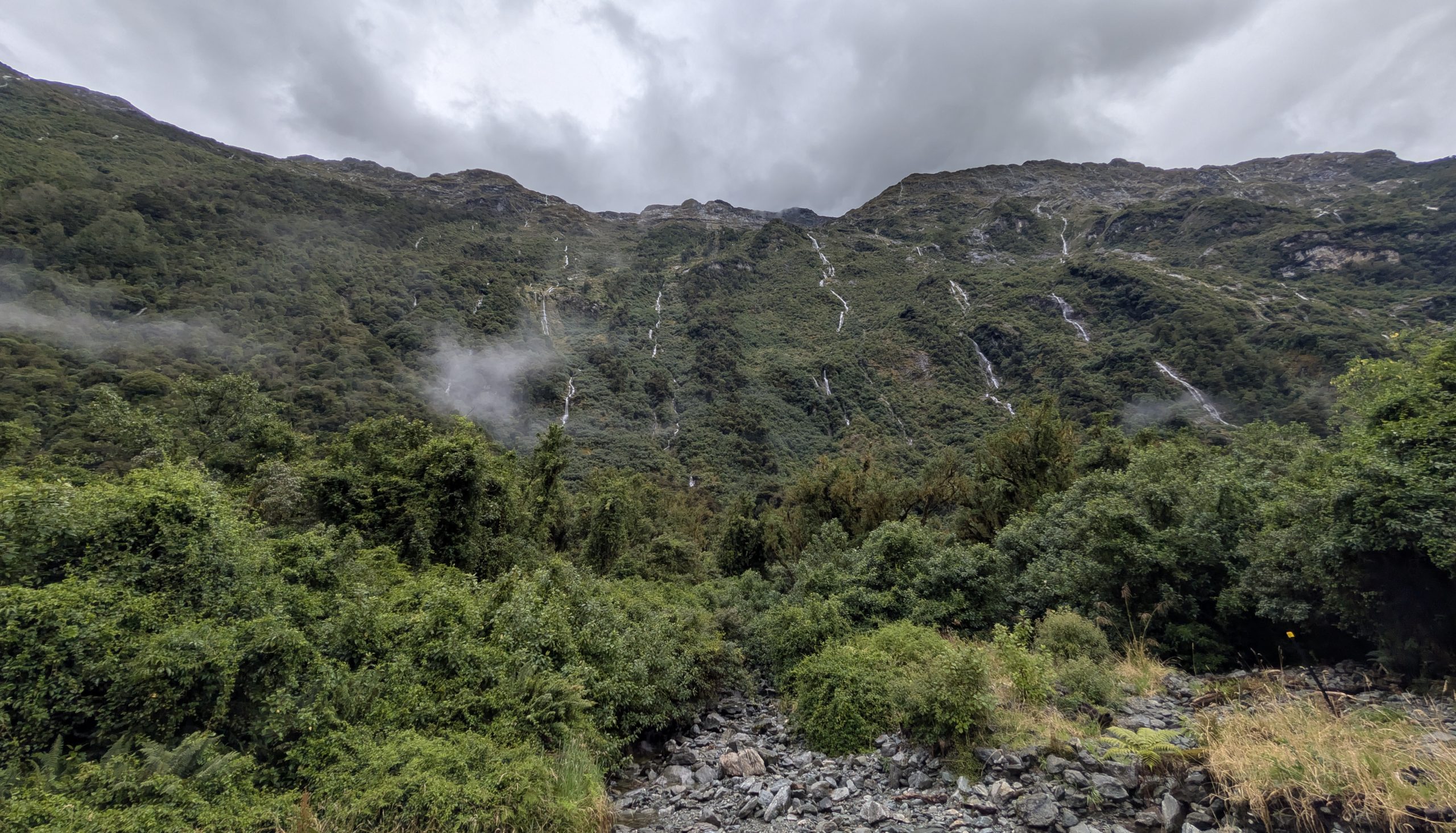
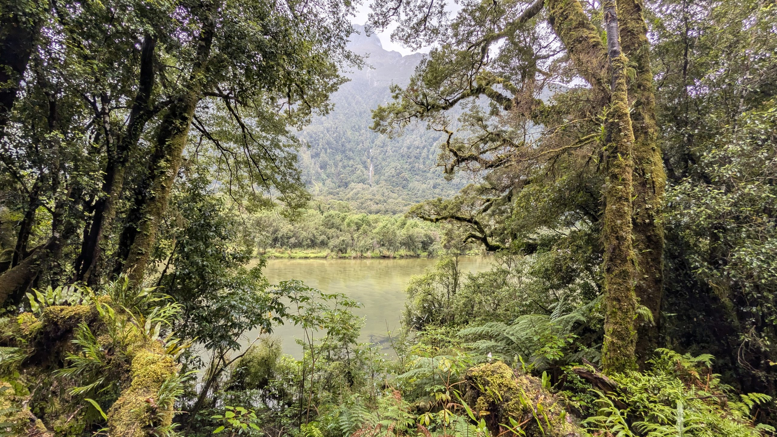
Continuing onward, we passed many small waterfalls generated by the recent rain. The hike was through lush rainforest once again. There was one rocky stretch of downhill that we had to navigate, and that along with my stops to take photos and videos, put us near the rear of the group. Graham was near the front of the group– maybe we would see him later.
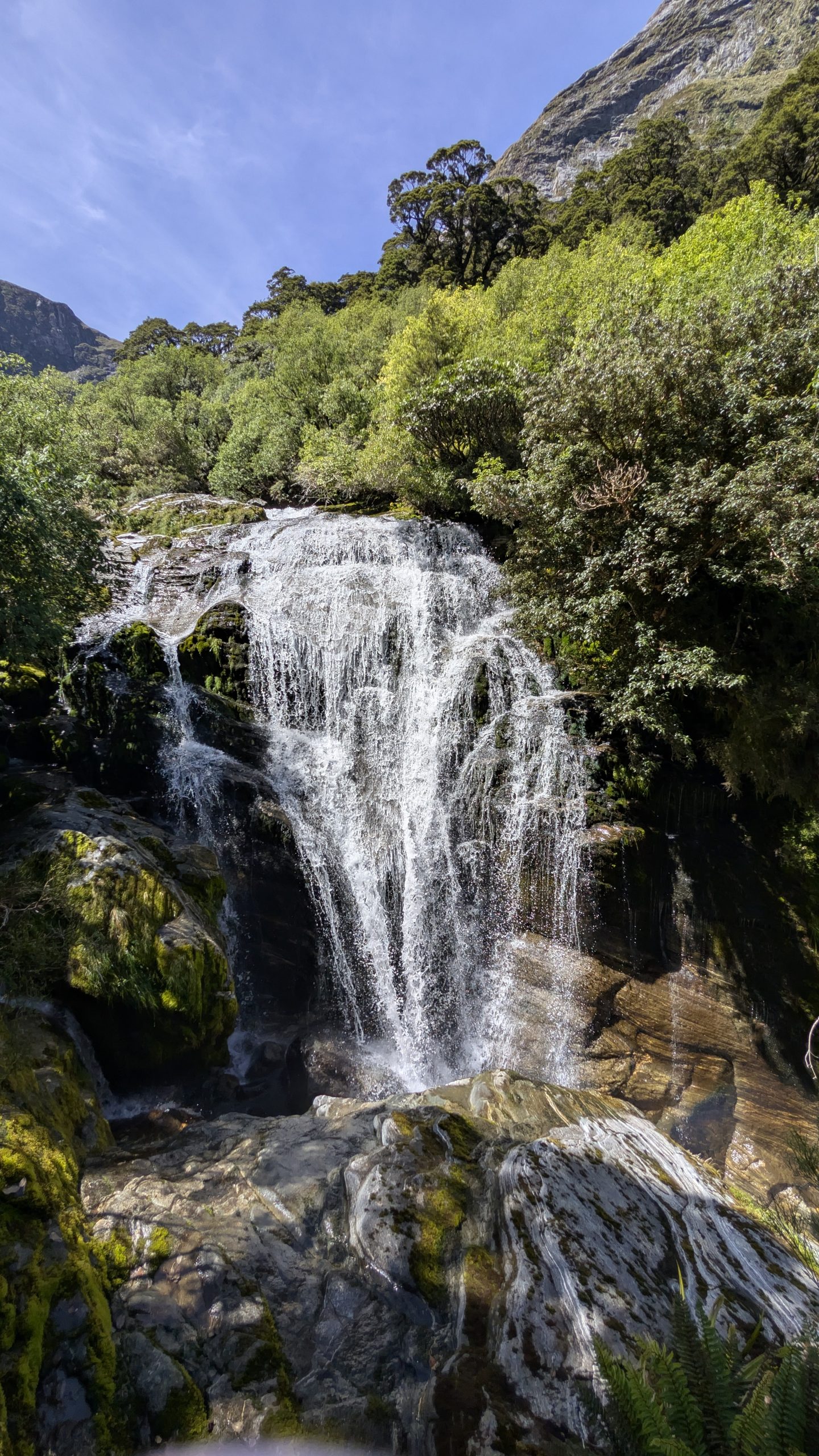
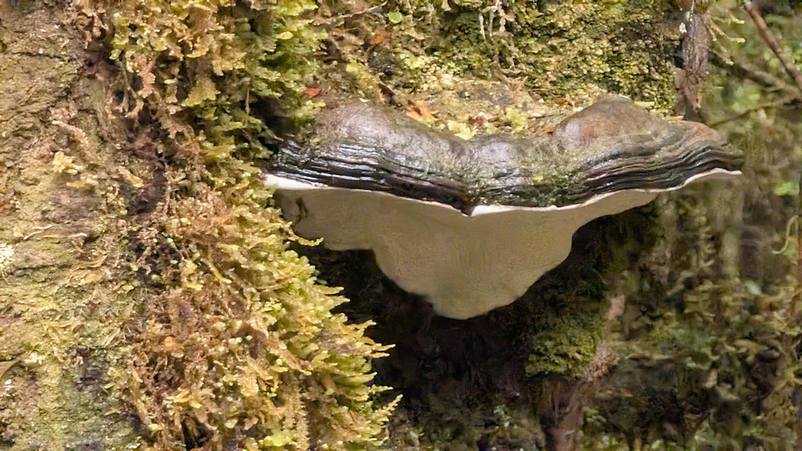
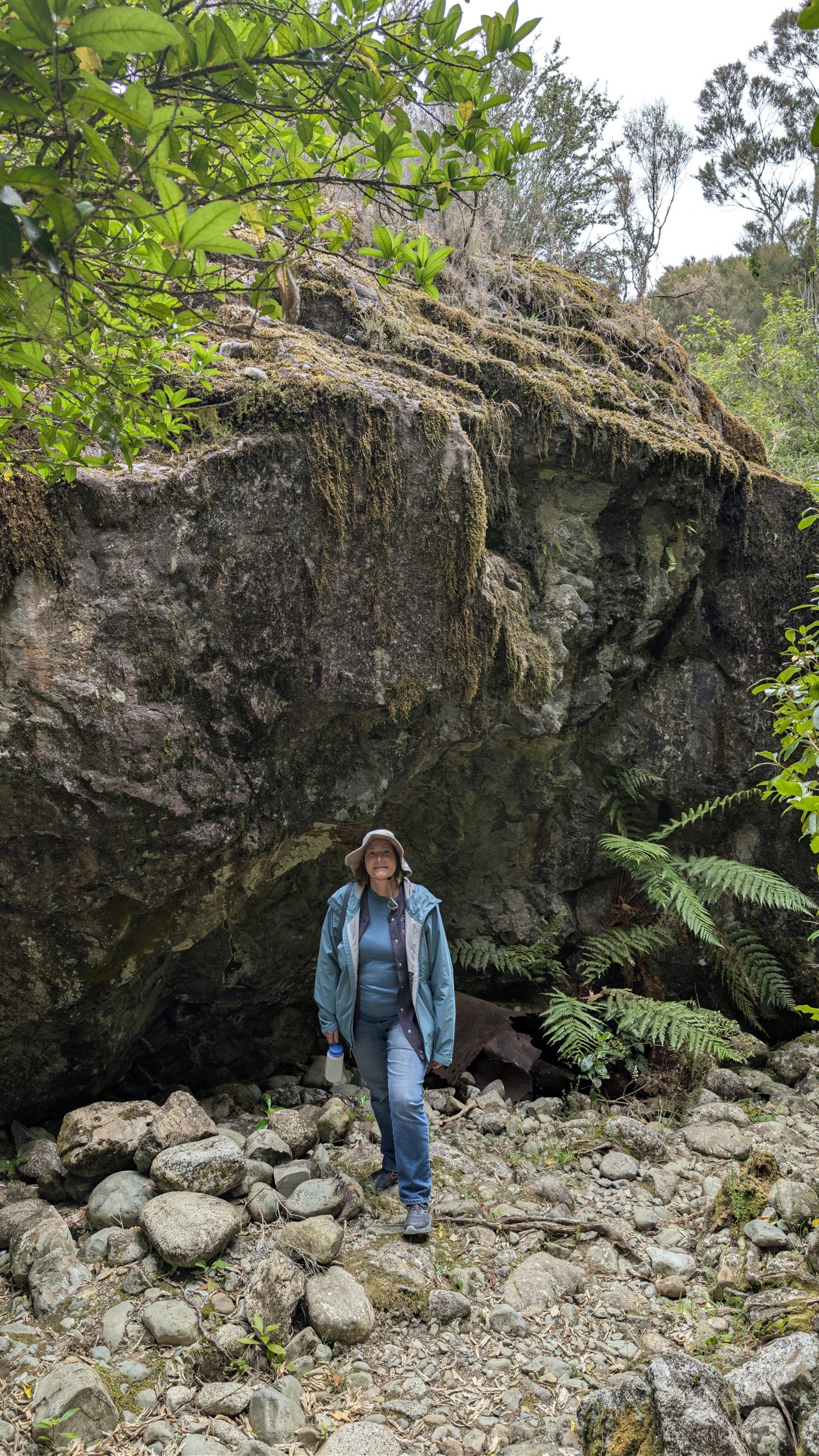
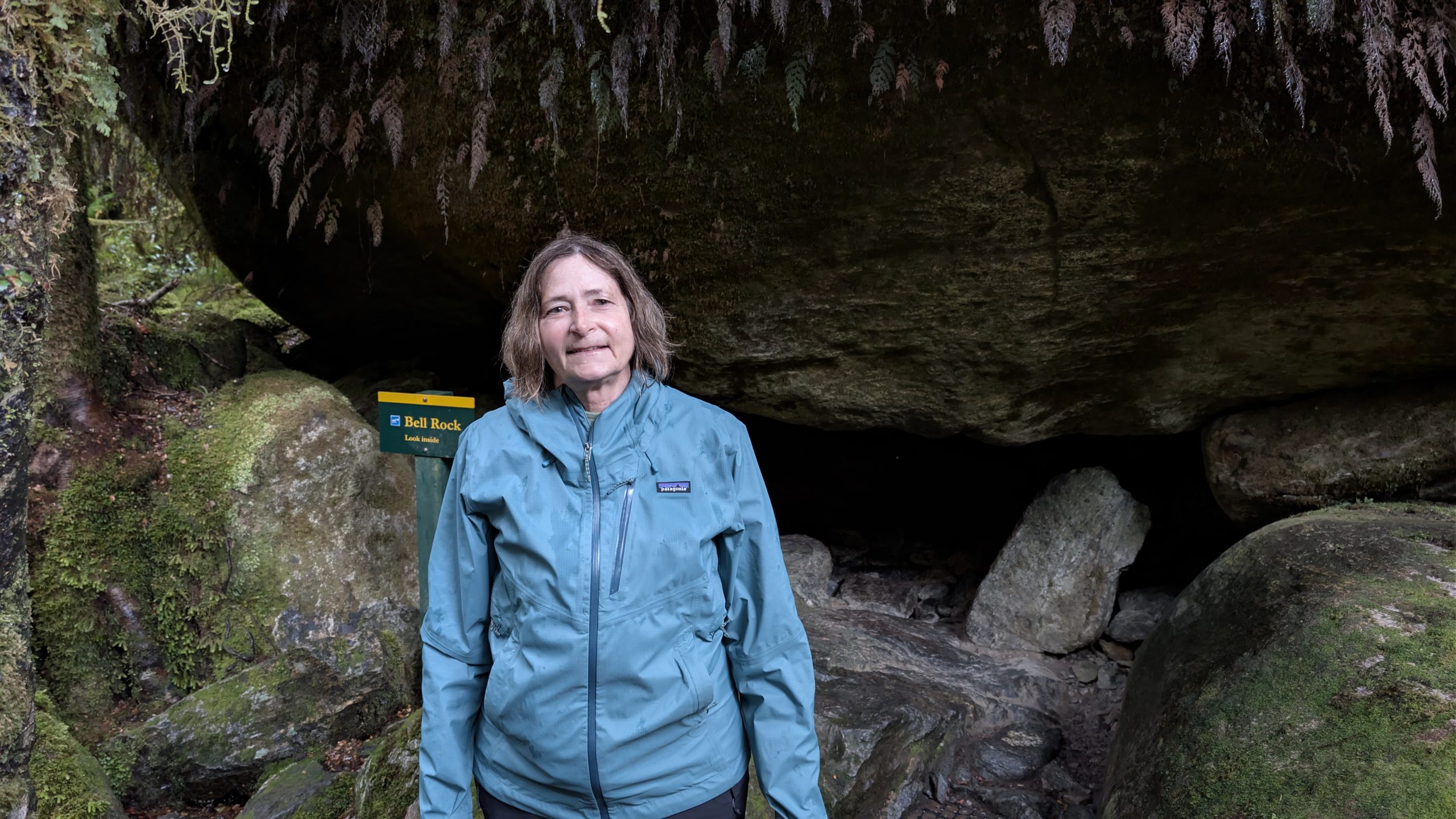
Later in the morning we stopped to admire Mackay Falls and right next to it, an interesting pothole feature named Bell Rock. I ducked inside to take a look. I could stand up inside the rock to view the top of the pothole.
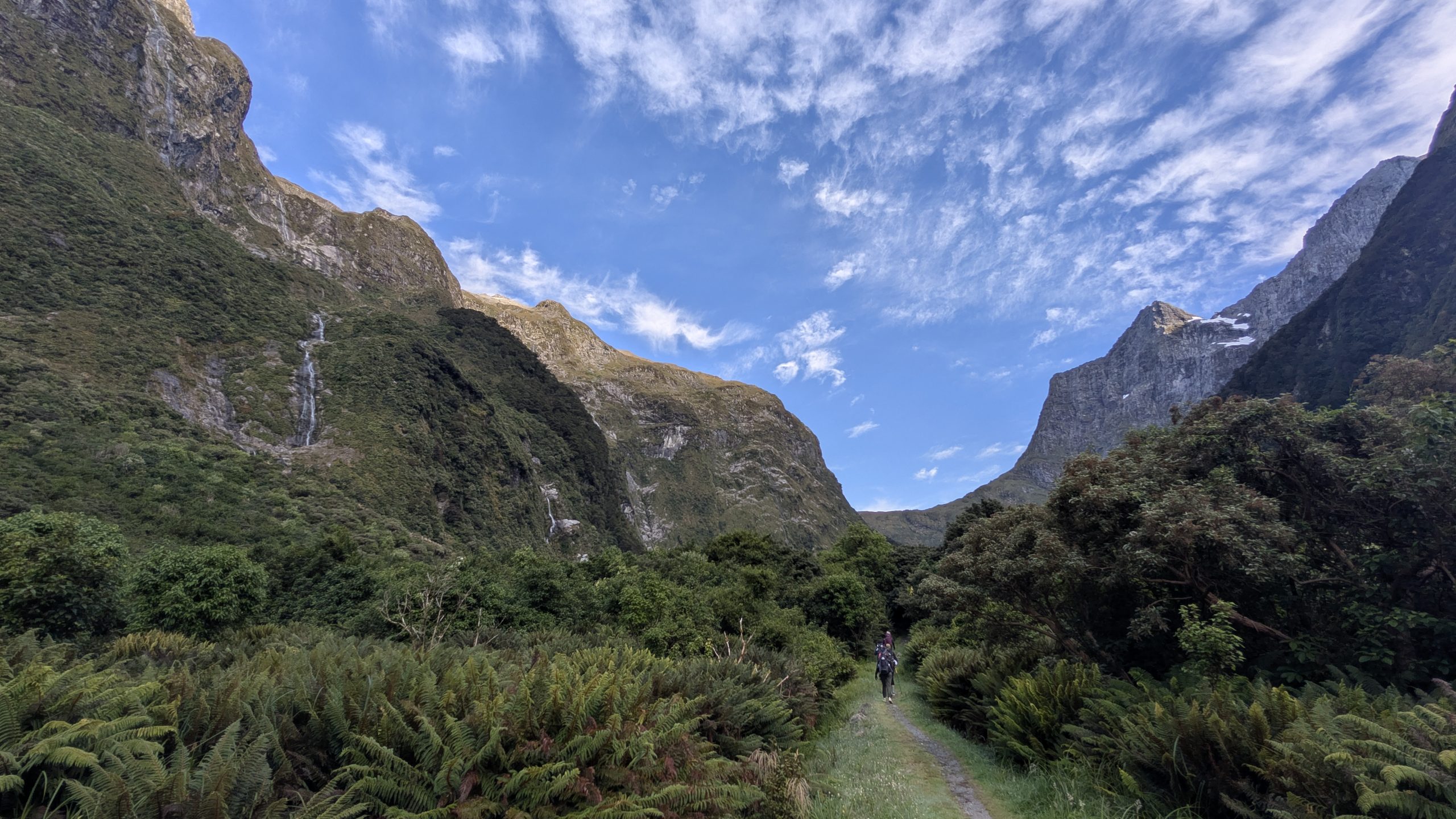
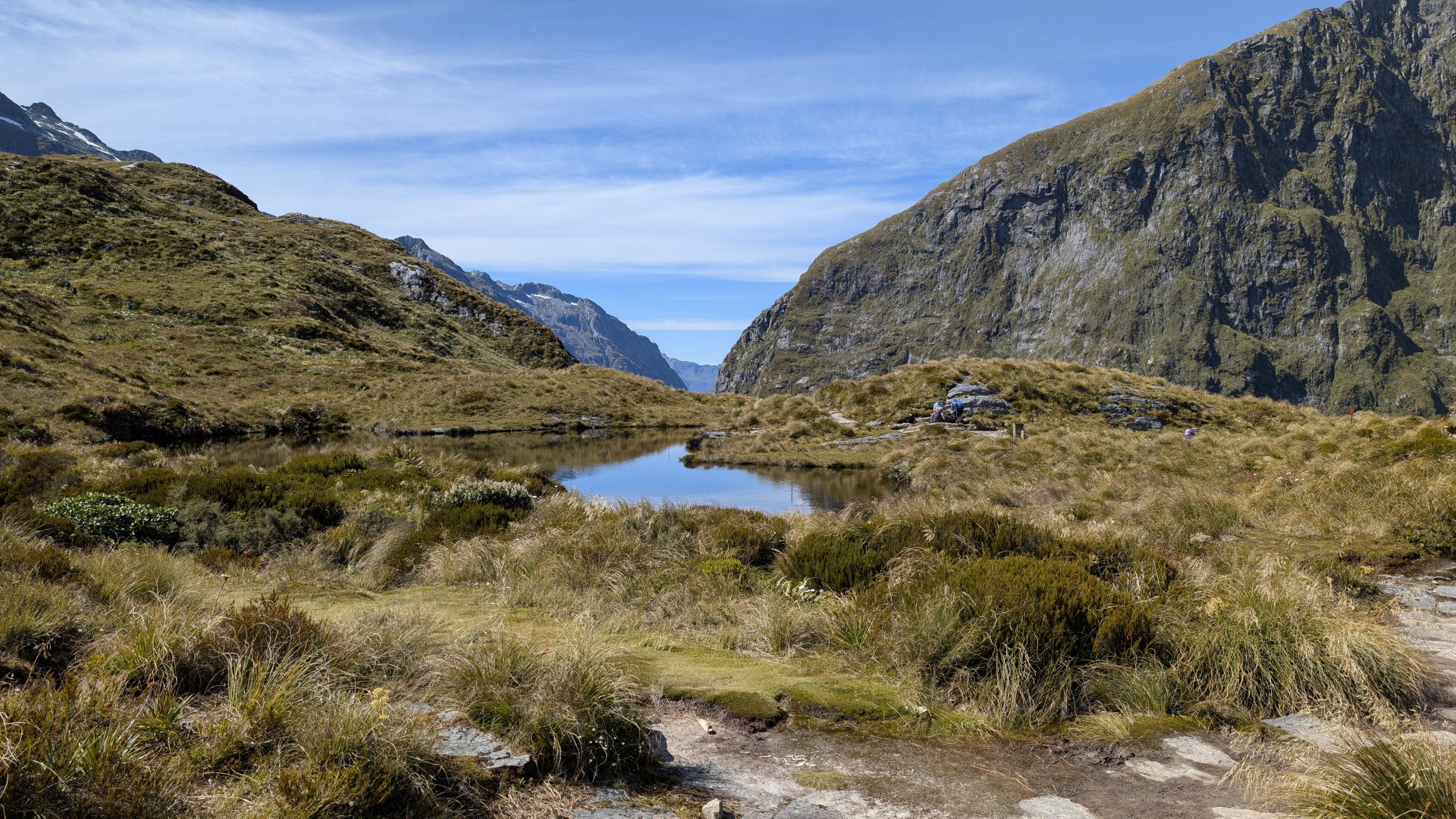
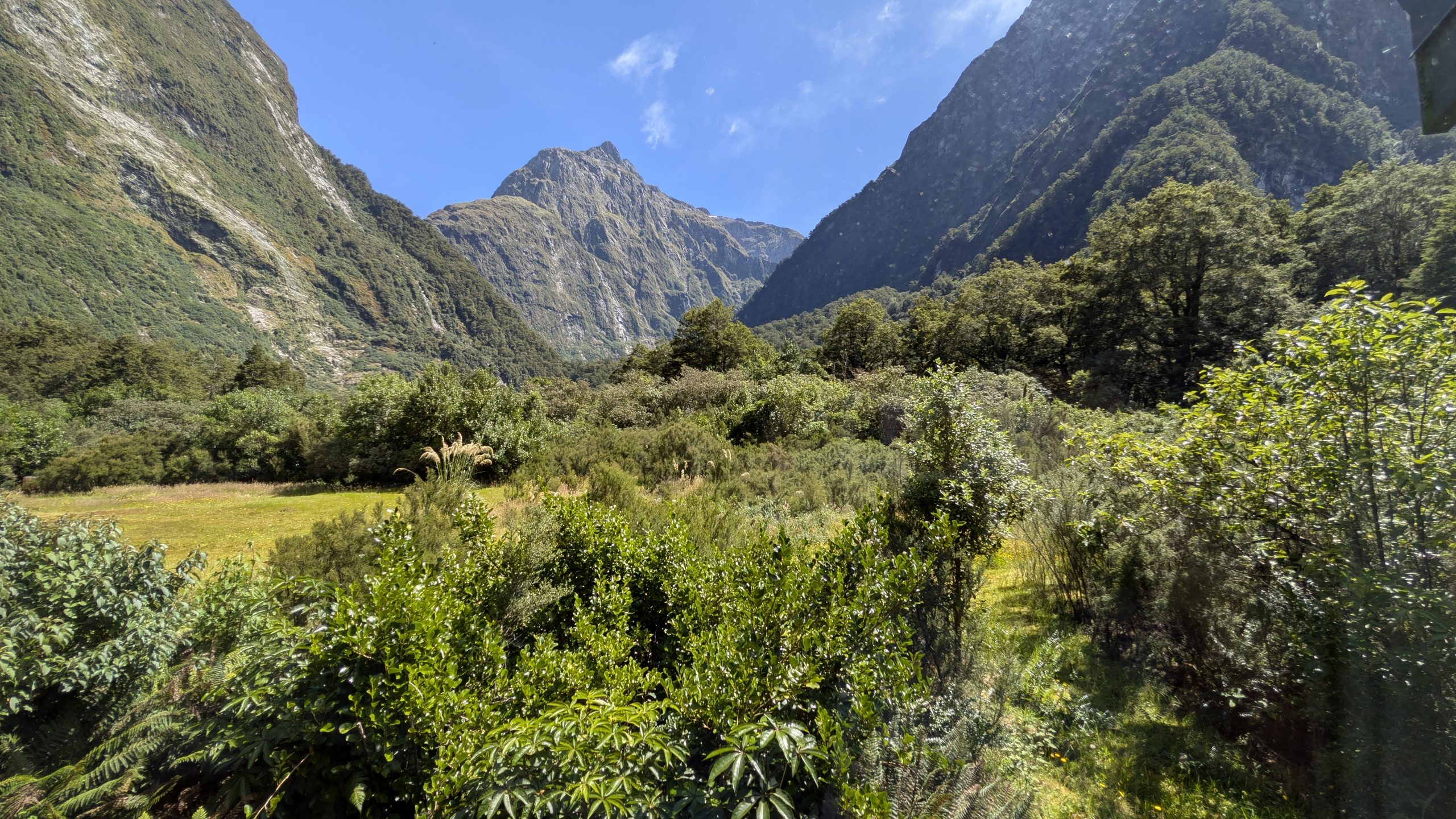
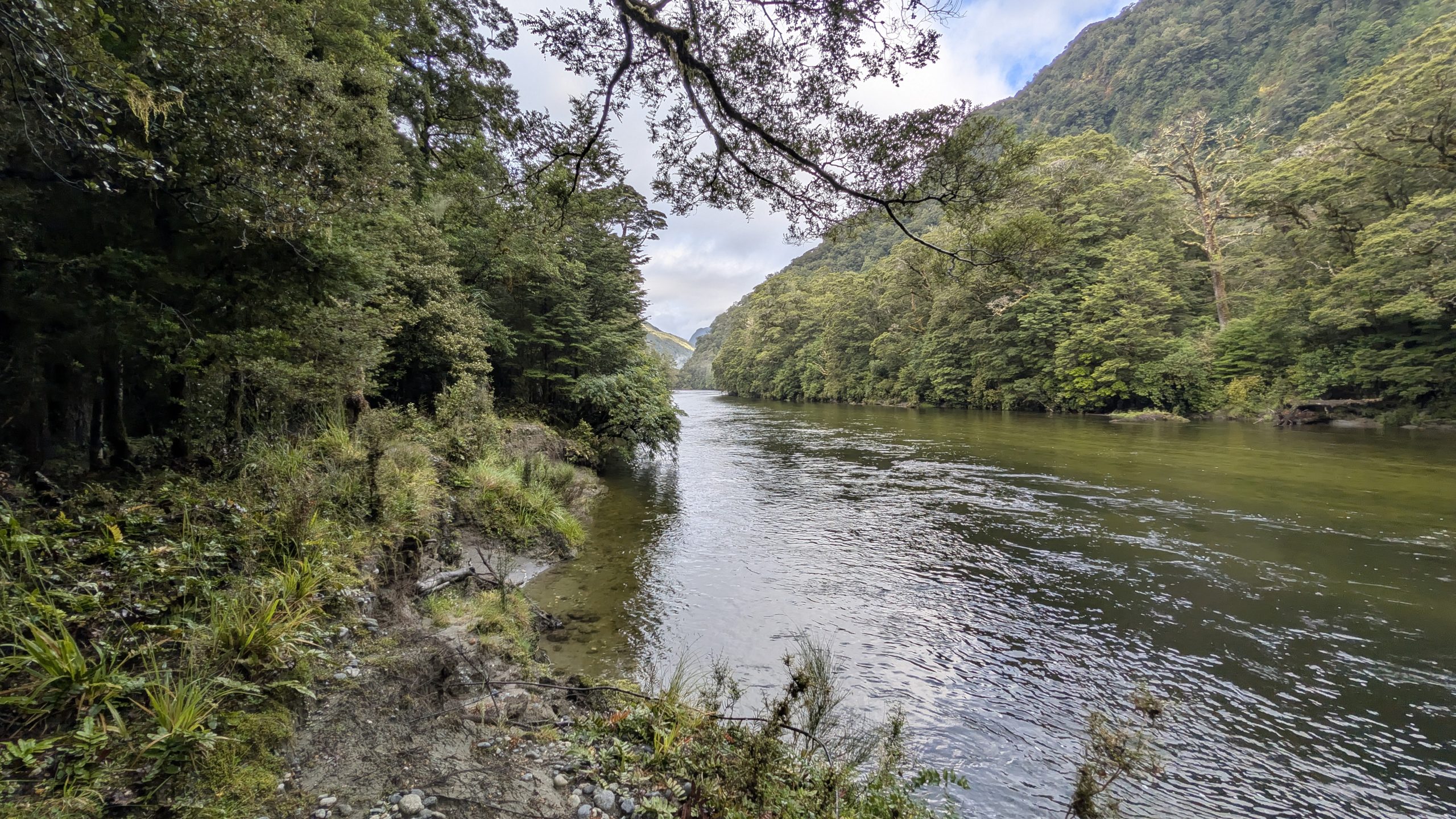
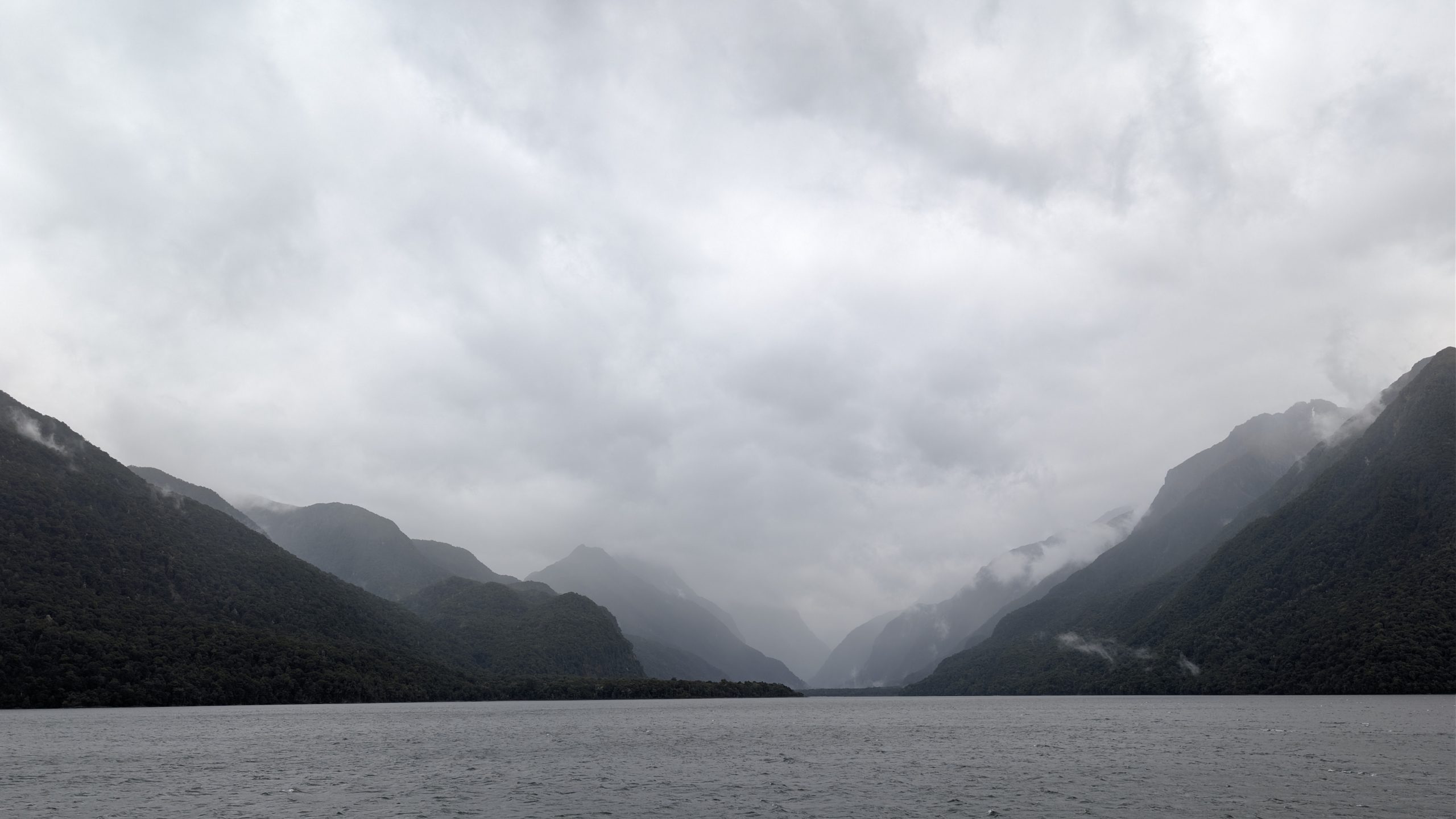
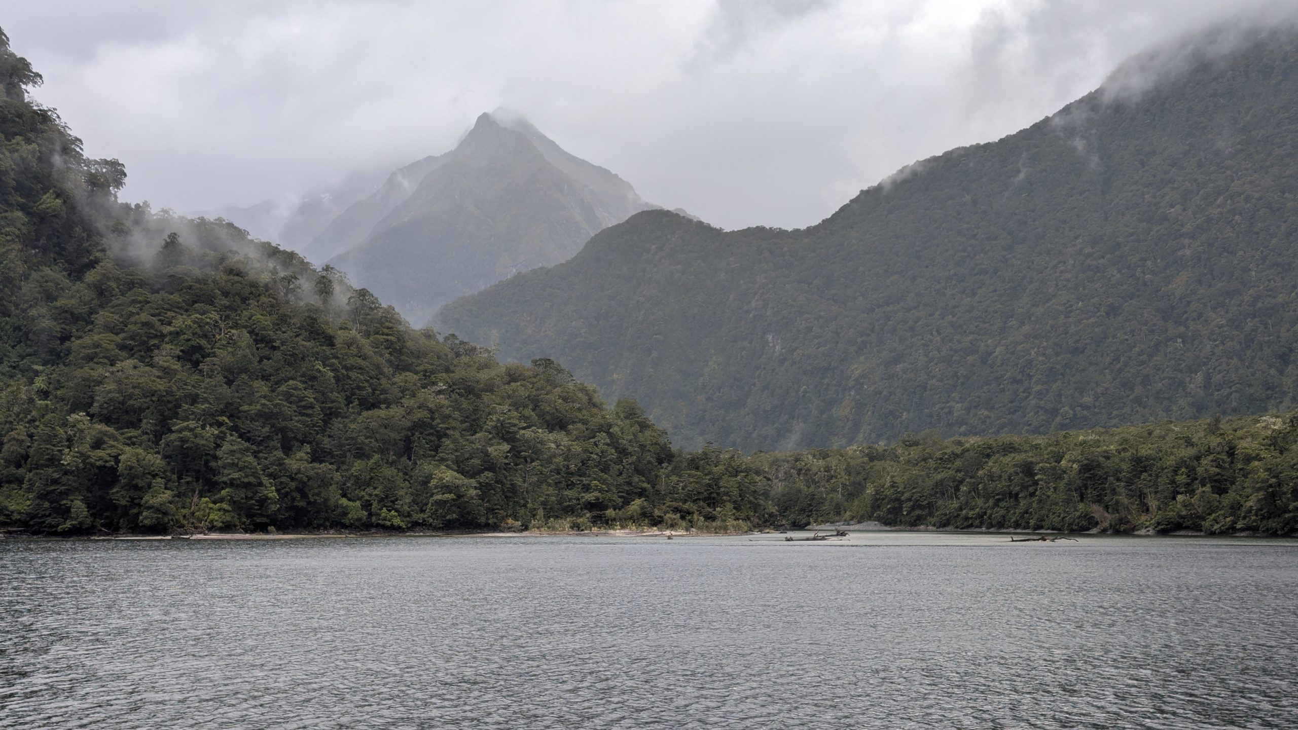
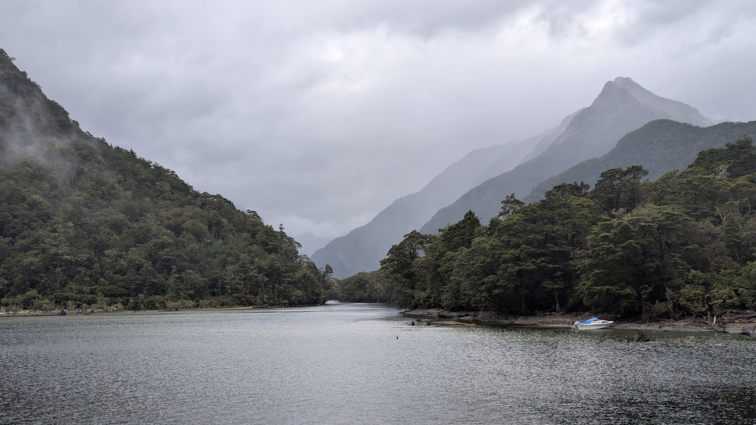
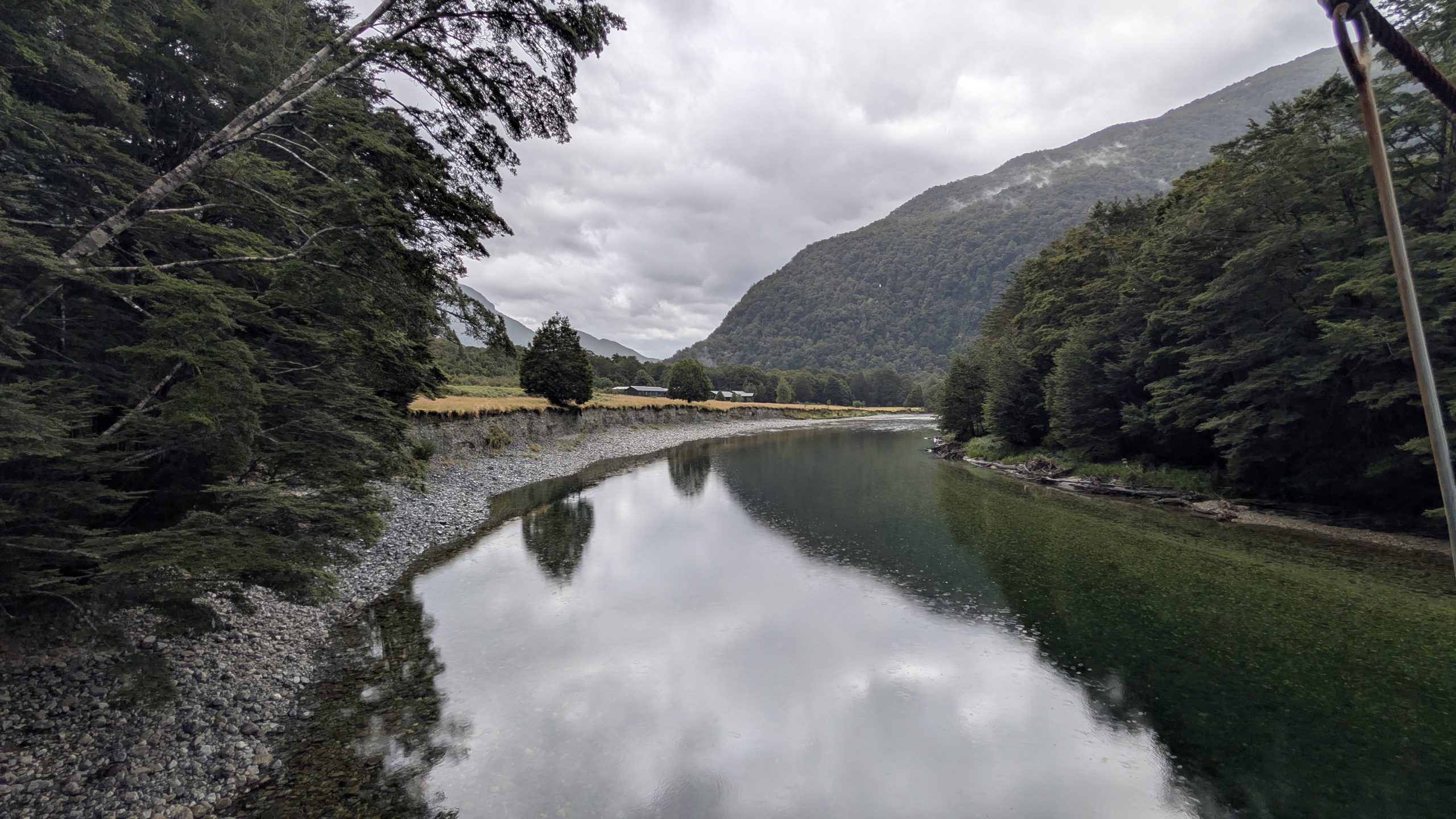
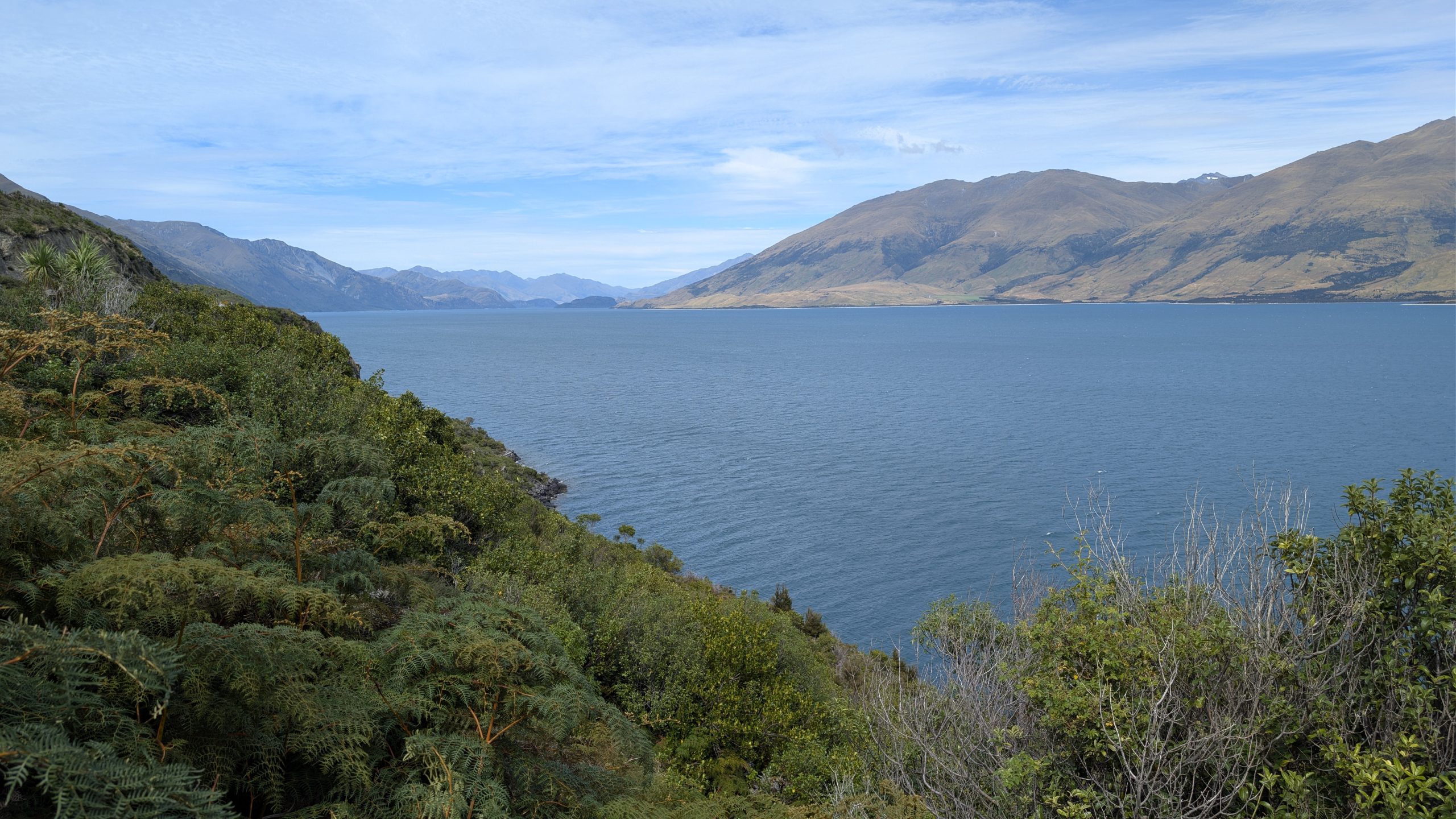
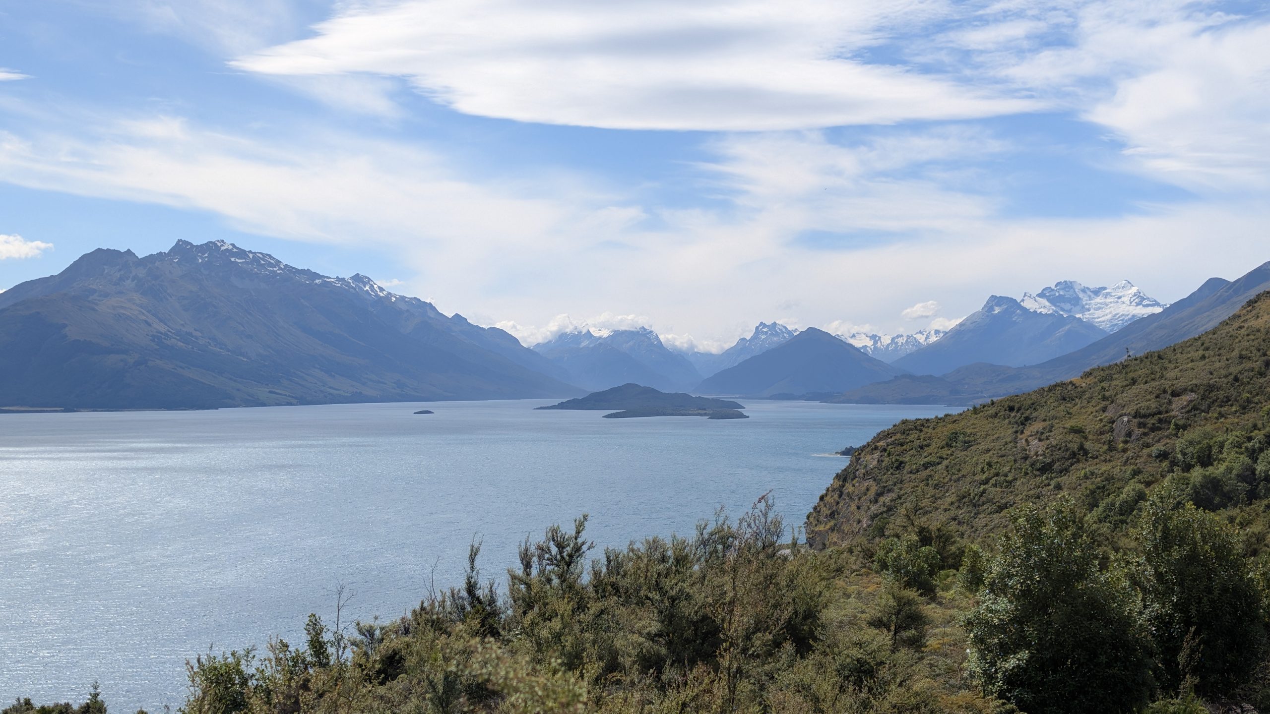
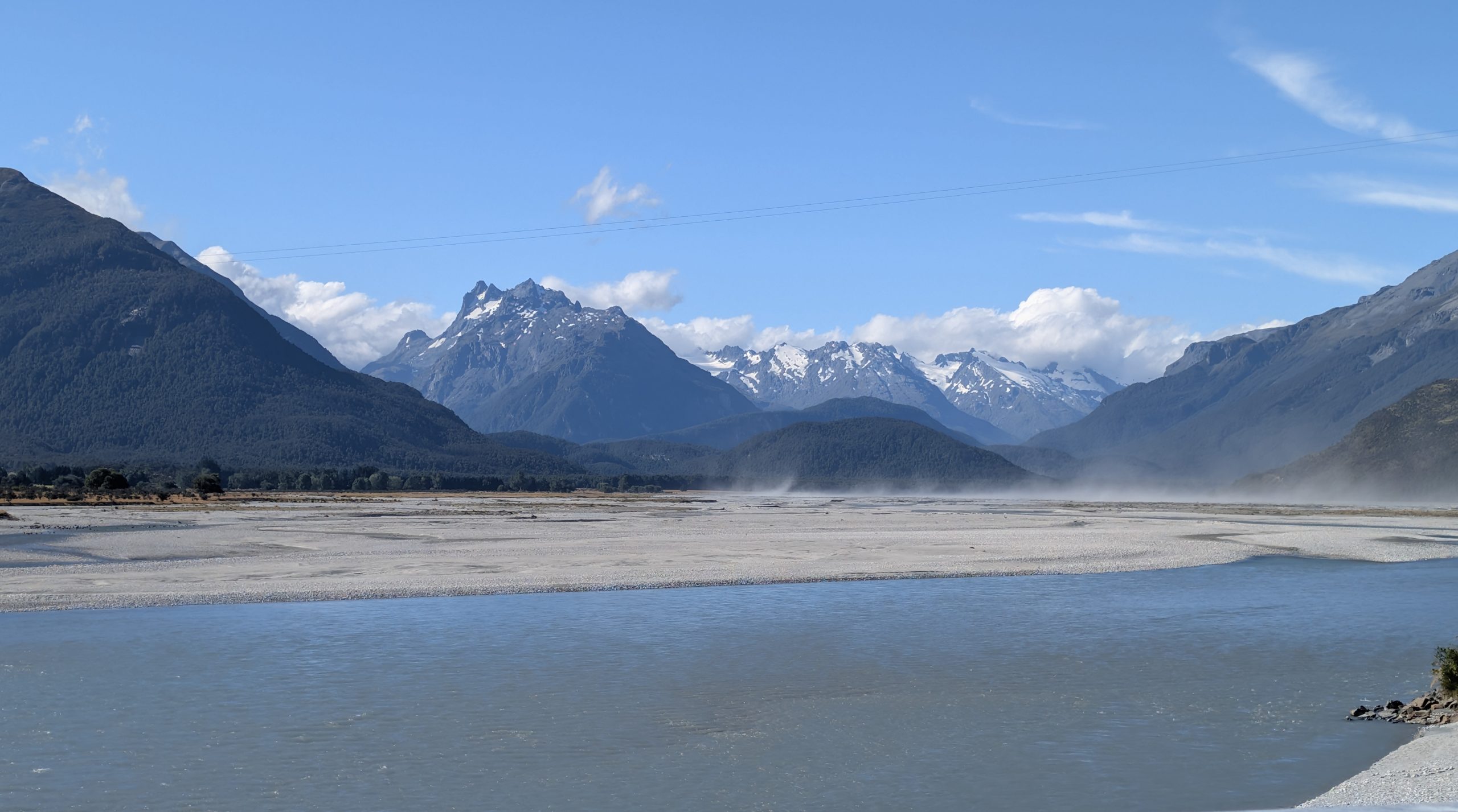
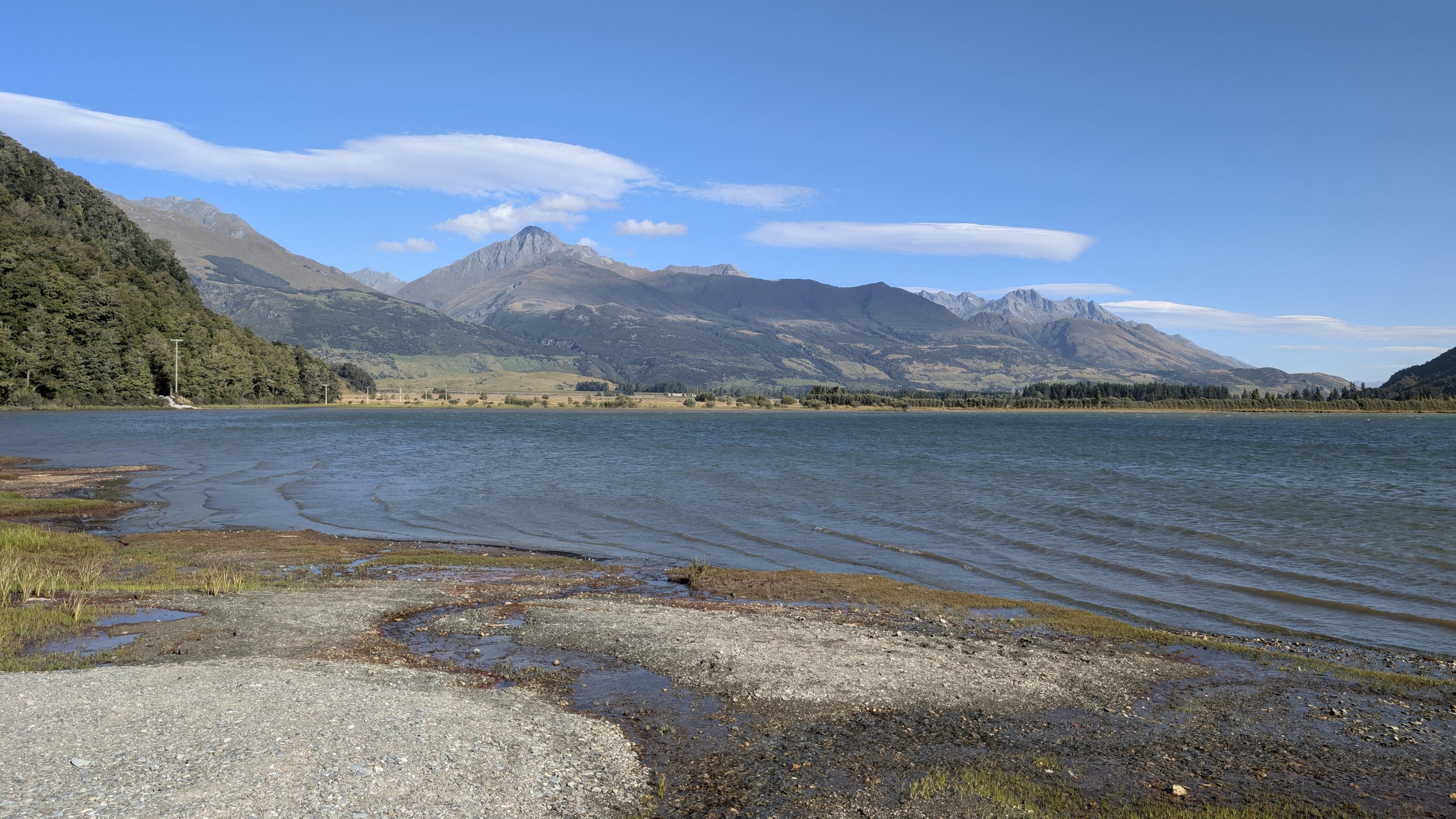
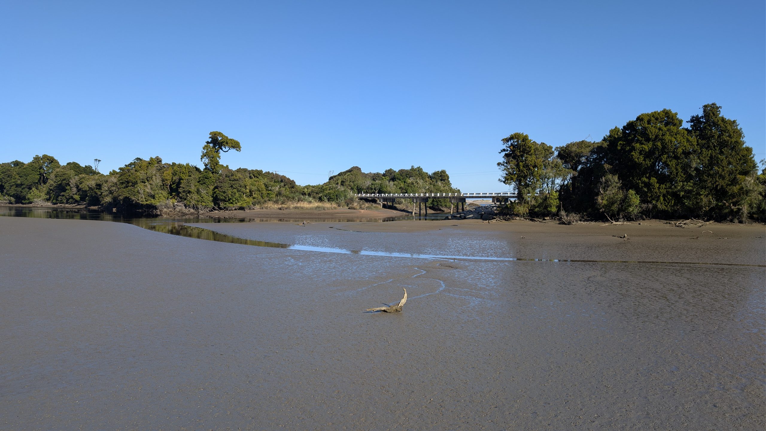
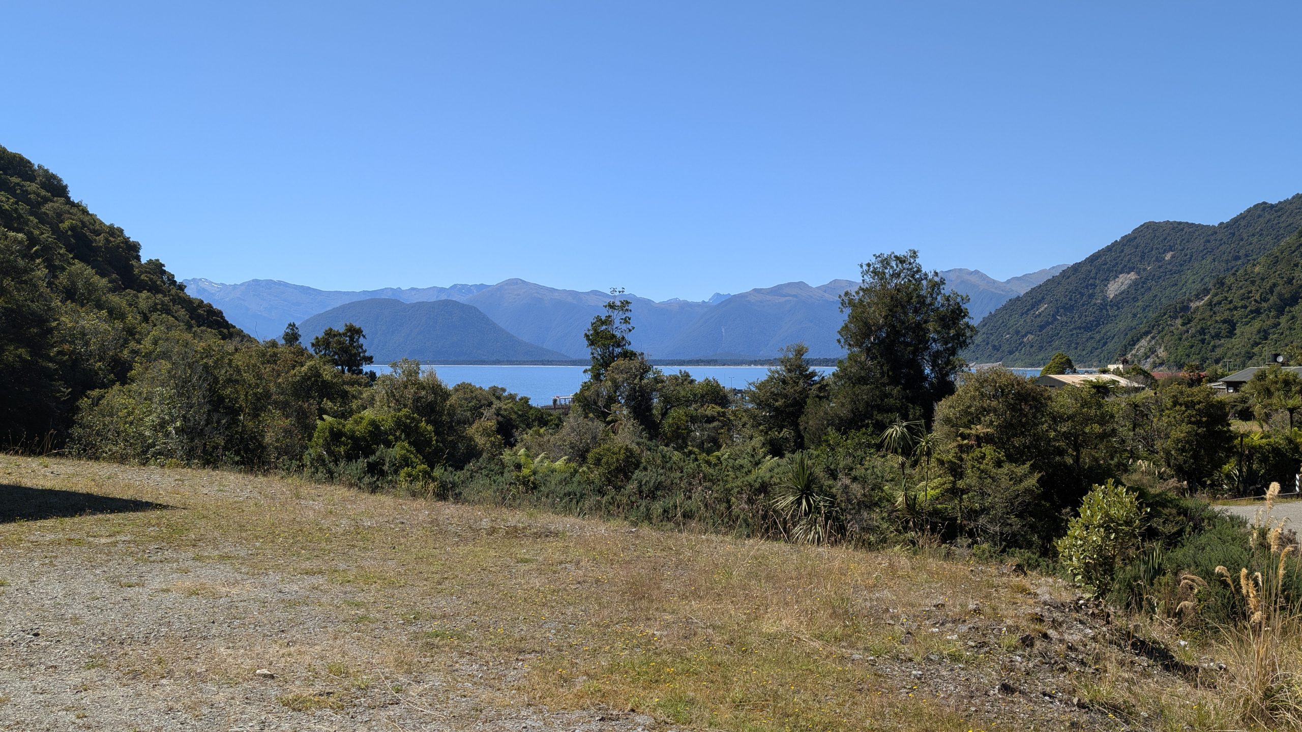
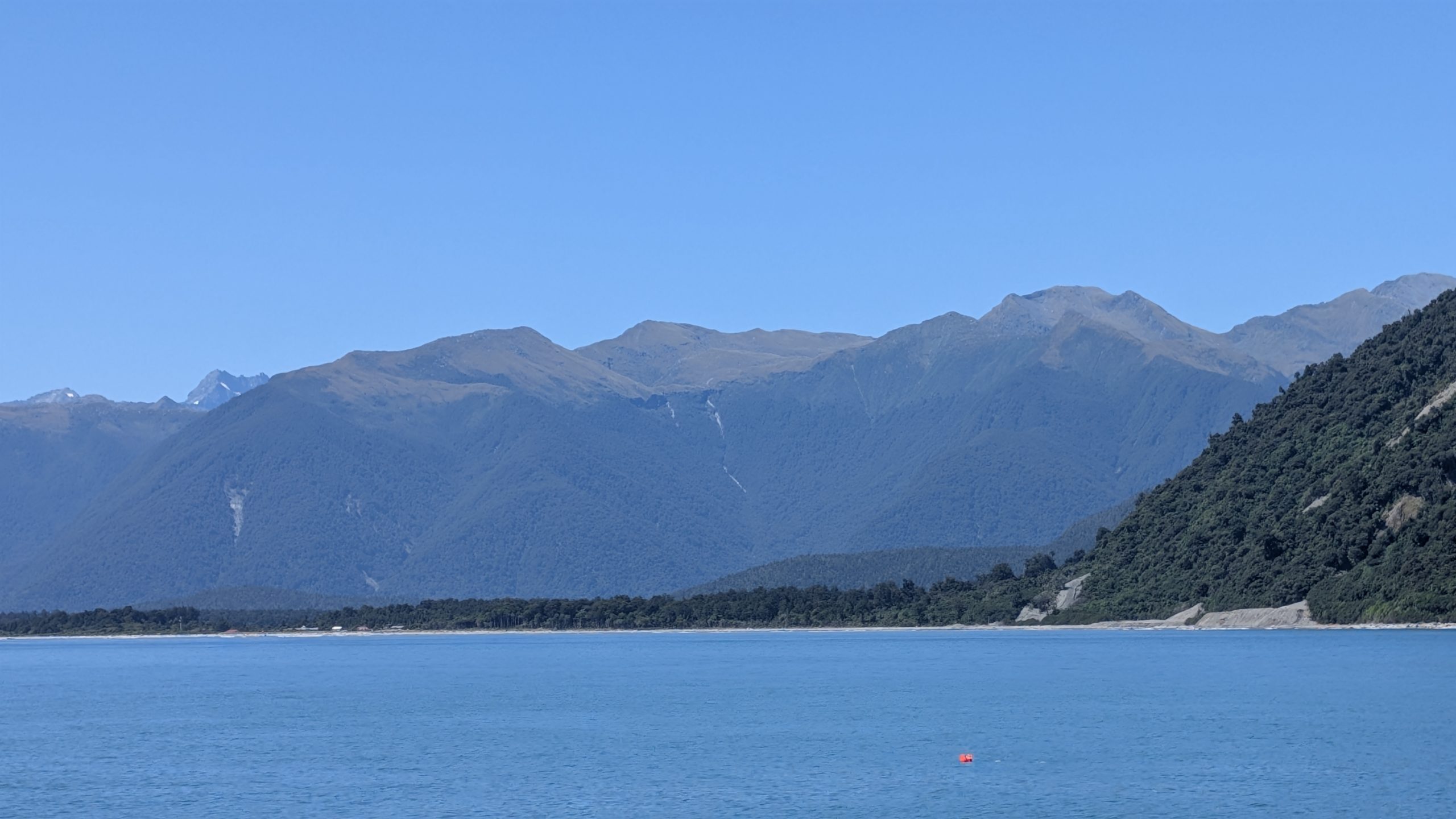
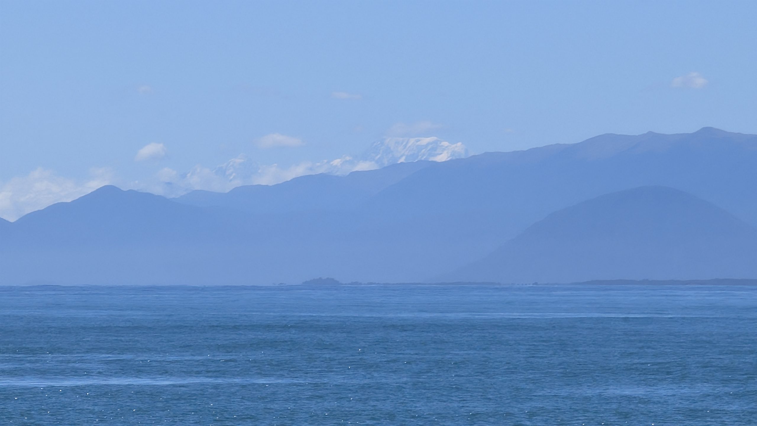
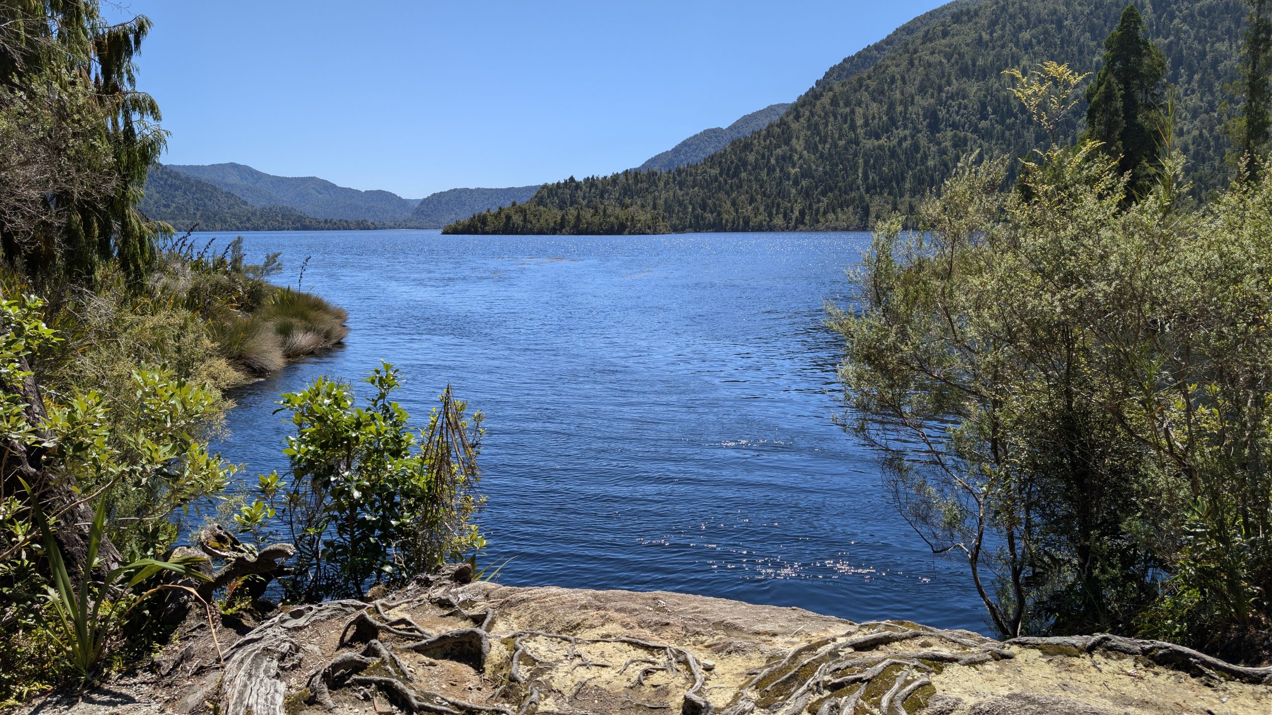
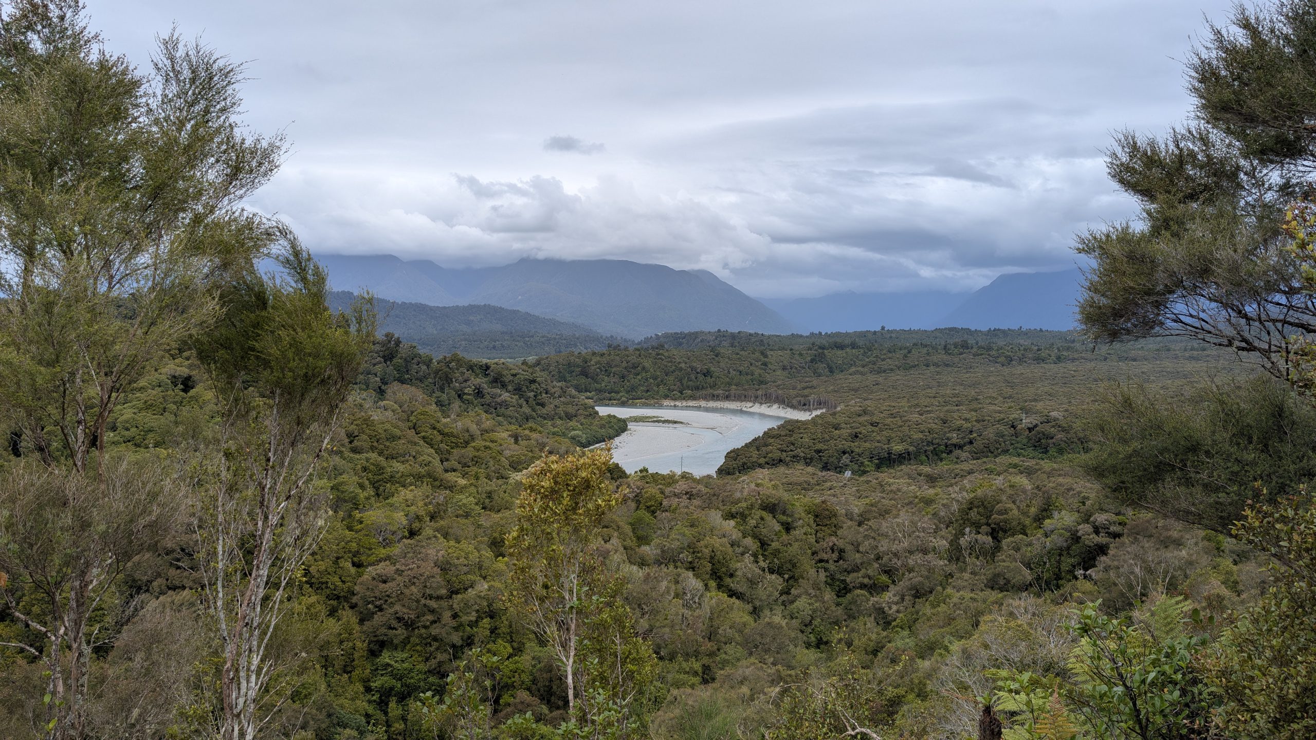
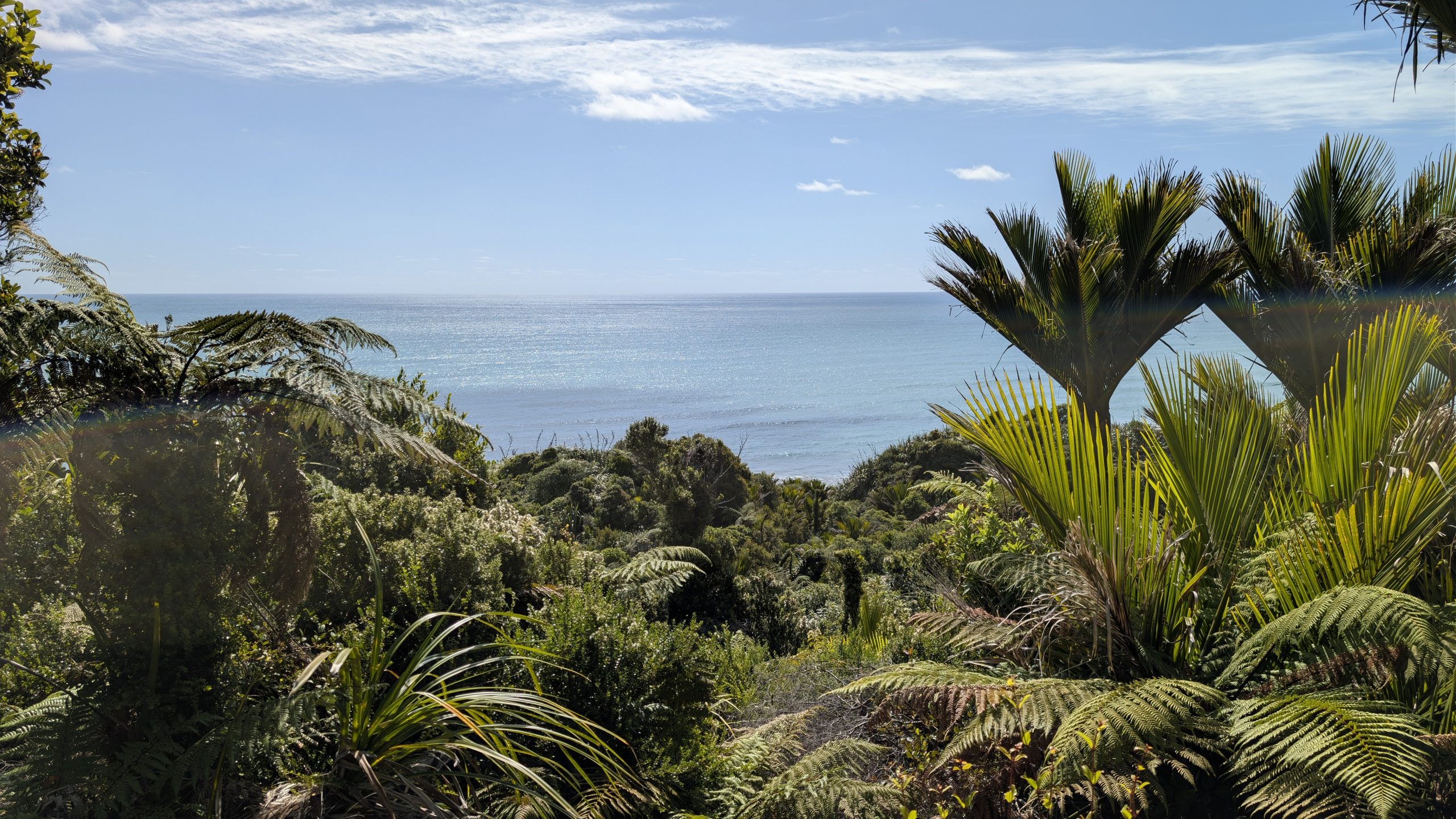
Traveling onward, the trail flattened out even more, but the weather started to deteriorate. Light rain was falling intermittently, and there were lots of large puddles on the trail and muddy areas. The rain fed even more waterfalls. The trail followed the shore of Lake Ada, and soon afterwards we started to see the flats leading into Milford Sound.
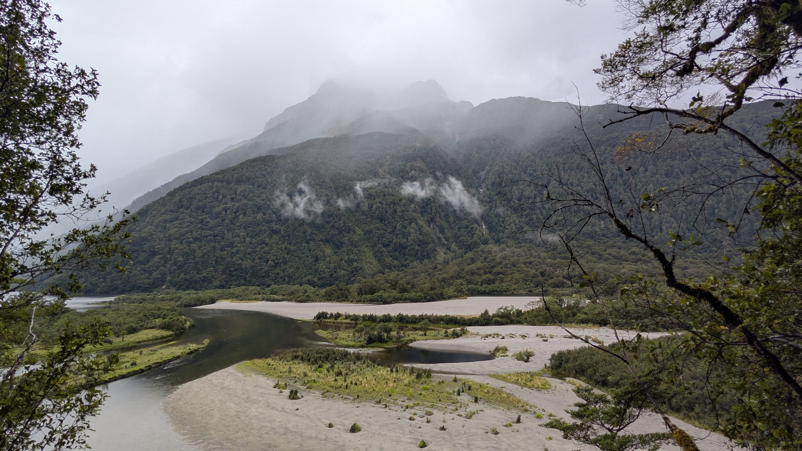
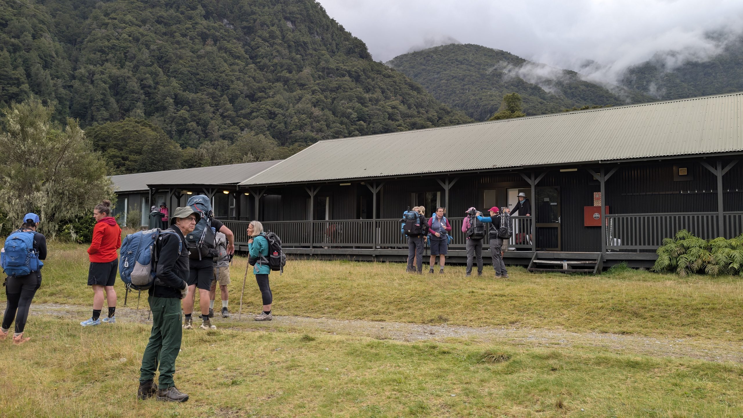
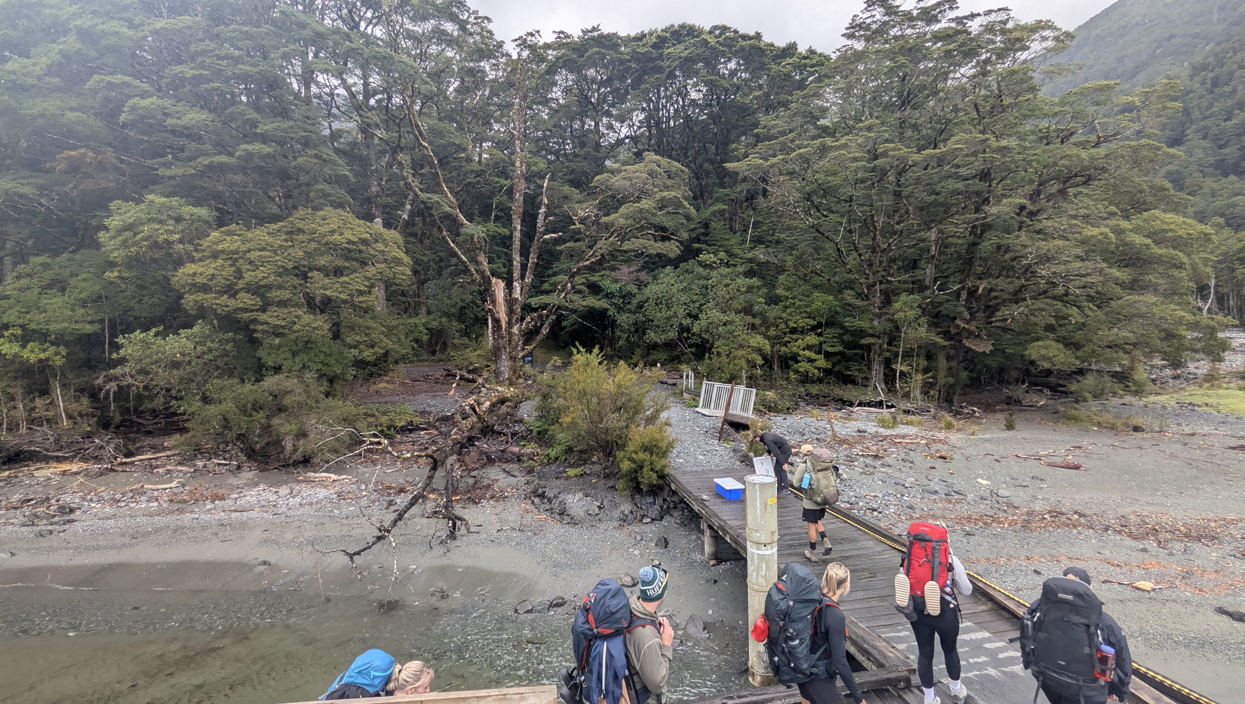
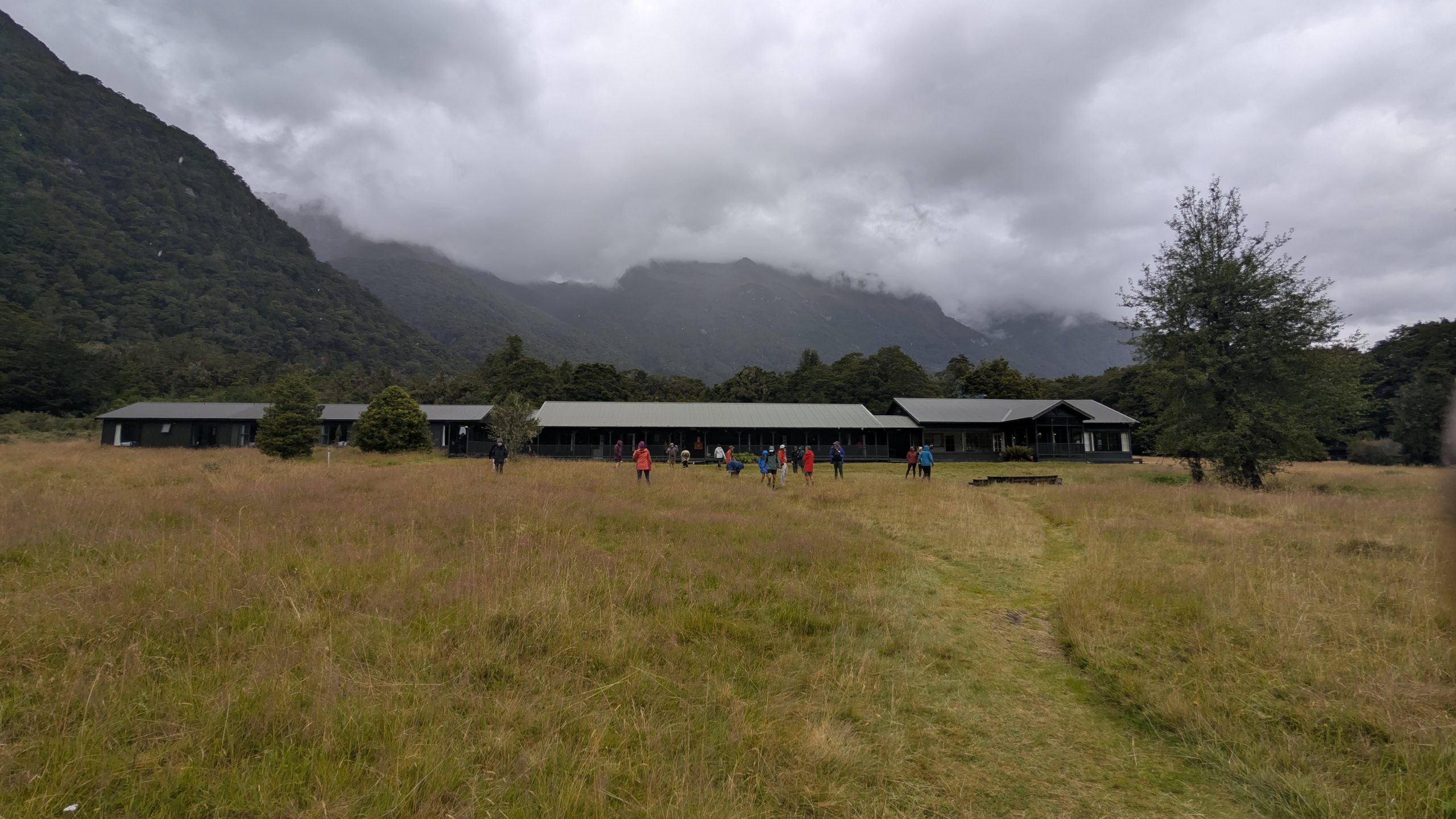
Finally we reached the shelter near Giants Gate Falls. This was the designated lunch stop for the day. I grabbed some snacks out of my backpack and downed some water. After 5 minutes Heinrich and I were ready to continue on to make up some time. Graham was already there, and all three of us hiked together for the final stretch. The boat at Sandfly Point, the end of the trail, left every half hour, and the guides had mentioned the night before that the goal was to get everyone to the boat by 4 PM. It was already 2:30 PM and we still had over 3 miles of hiking to go. Would we make it?
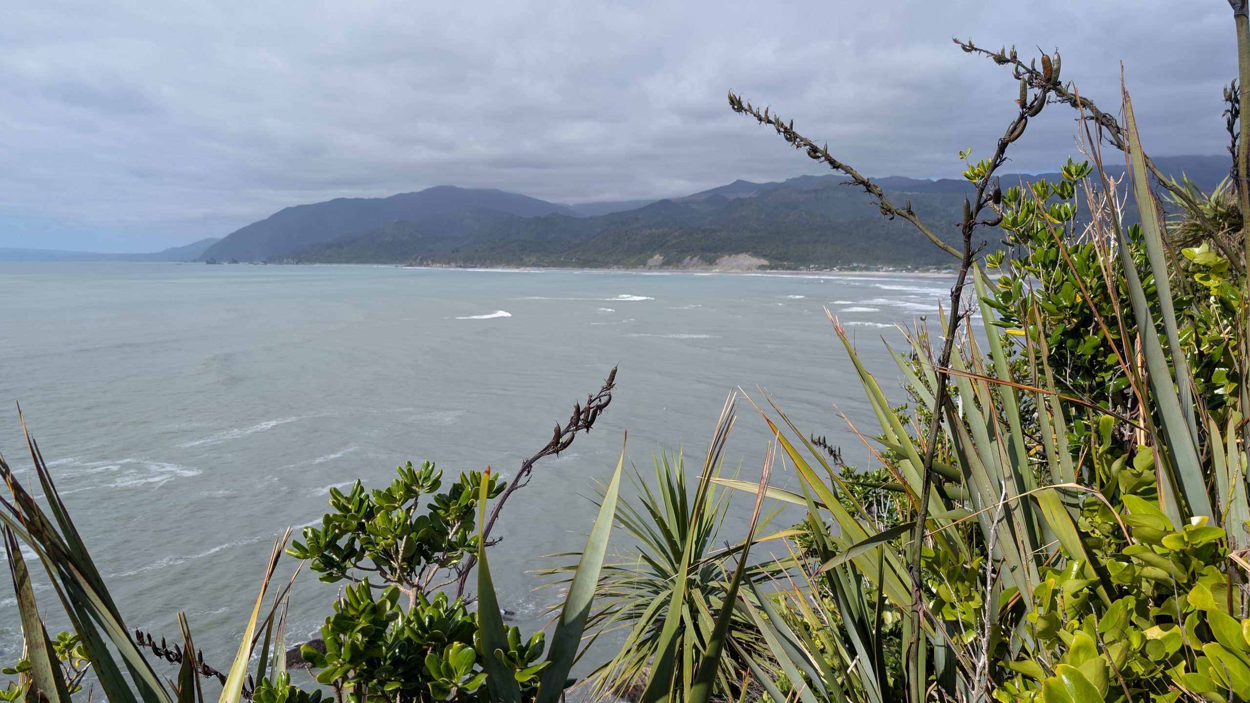
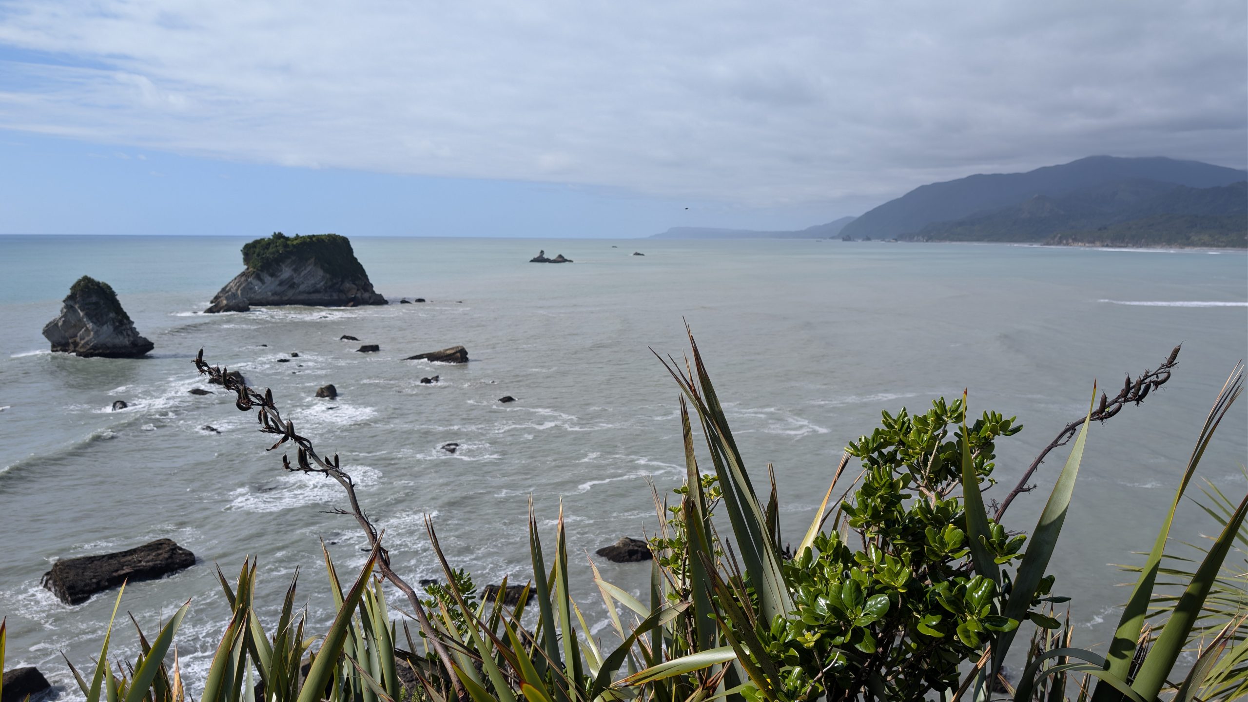
After passing Giants Gate Falls we started to run into day hikers that had taken the boat ride for a short hike to see the falls. For the final mile the weather got even worse and had turned into a steady light rain. The trail puddles got larger and it became much harder to avoid them. Of course the waterfalls got better!
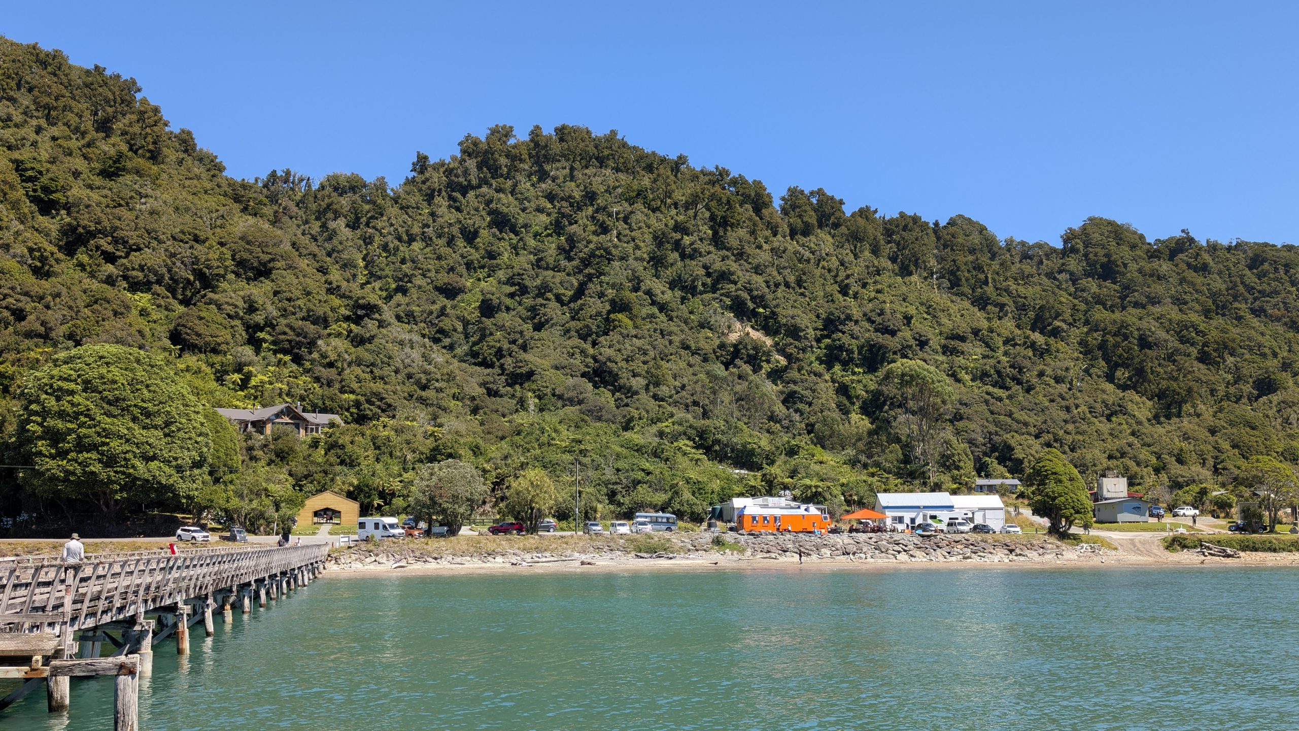
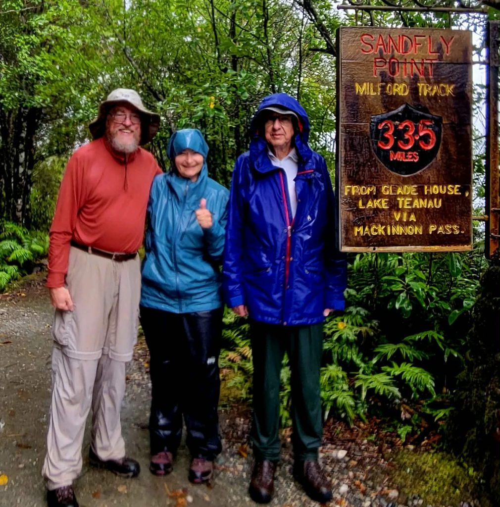
Finally we reached Sandfly Point, the official end of the trail. Sandfly Point truly lived up to its name since the sandflies were really obnoxious there.
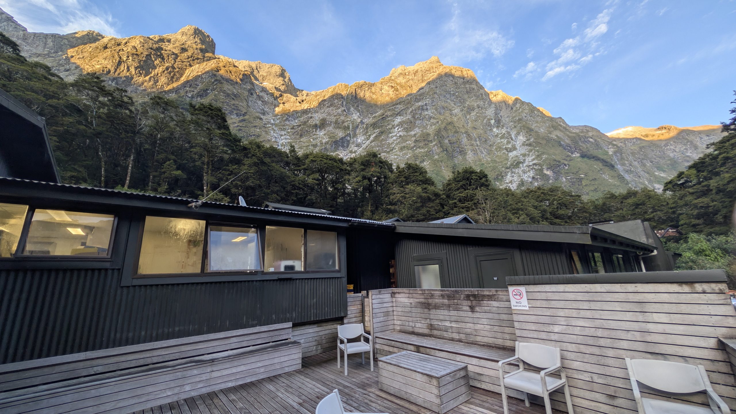
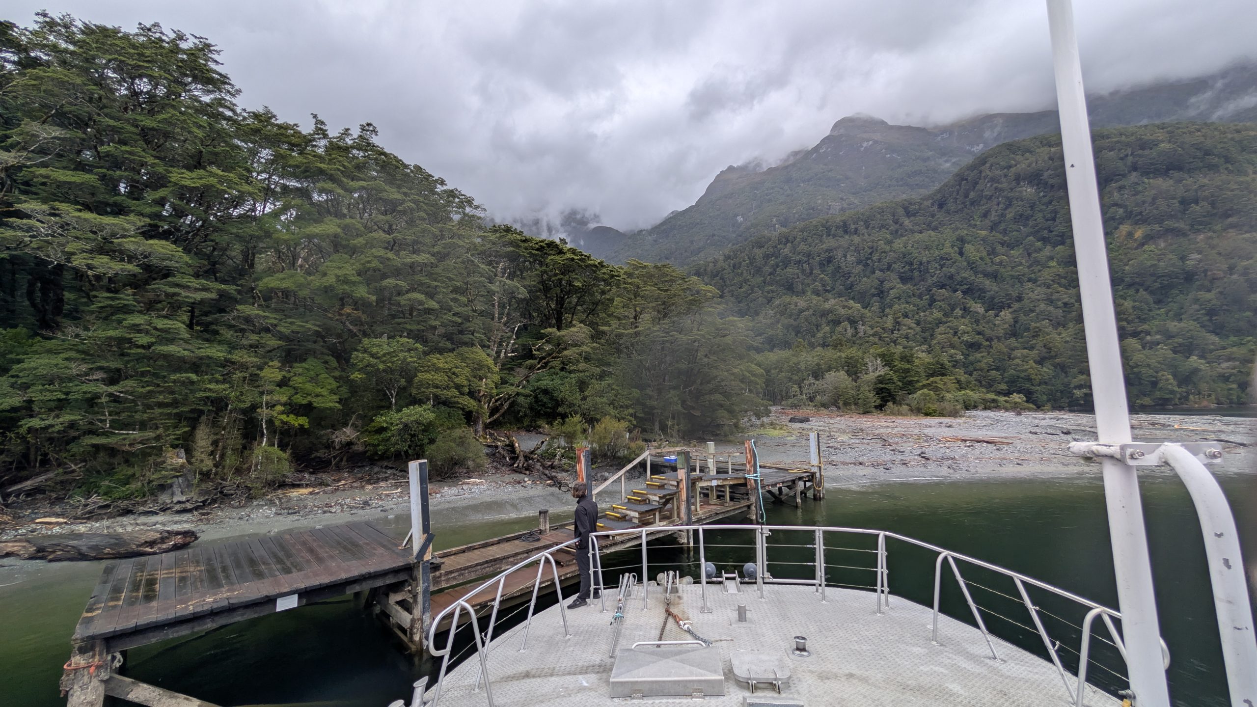
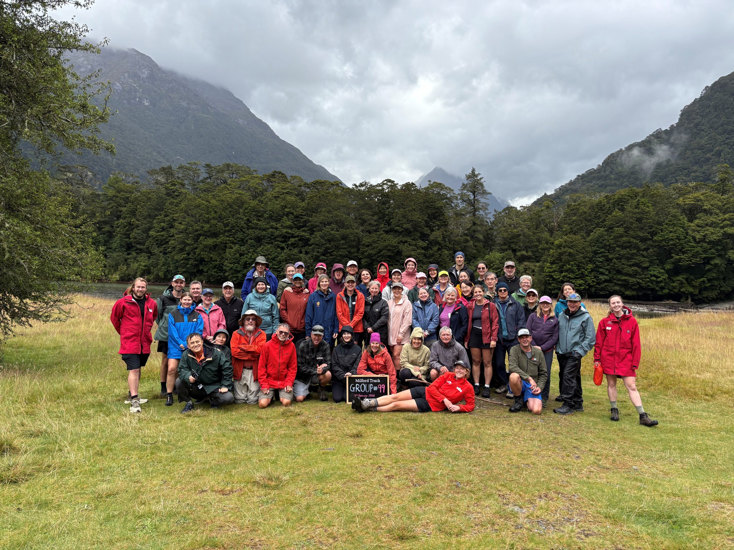
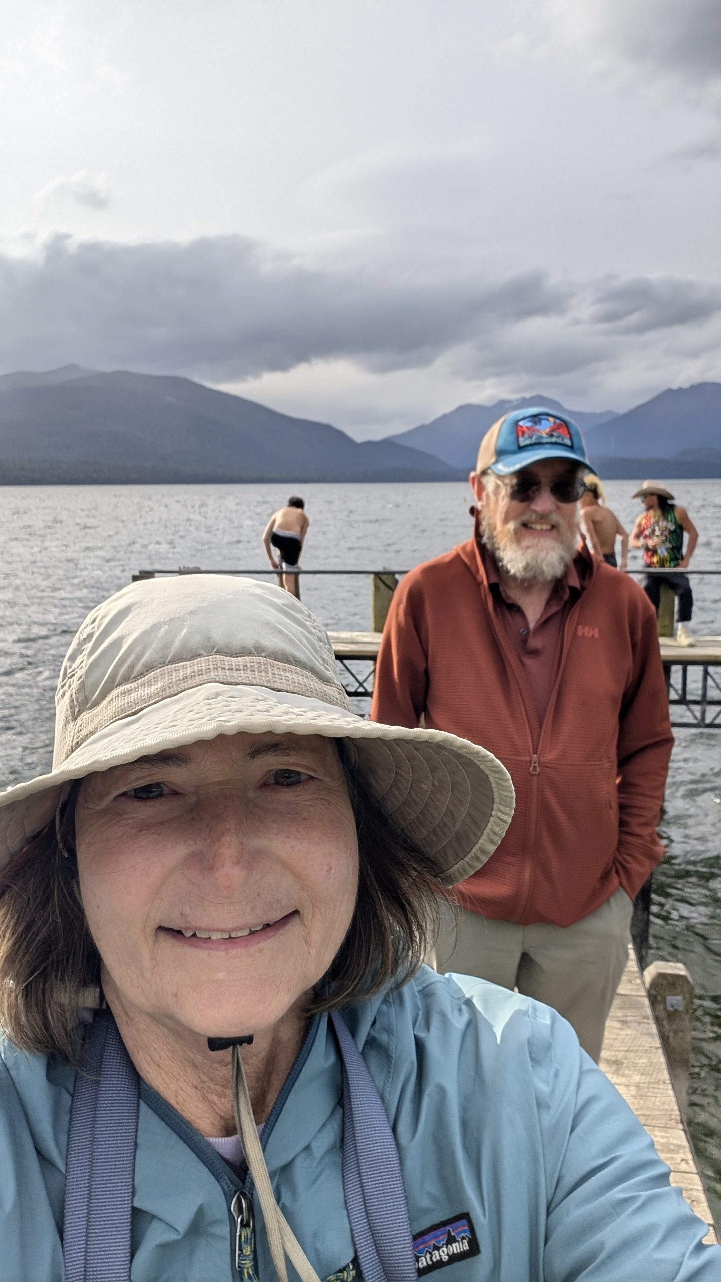
The guides checked us in and gave us our room key for the Mitre Peak Lodge. They provided drinks and cookies. I was thankful for the covered shelter, since it was raining even harder. The time was about 4:10 PM, so we had missed the 4 PM goal time, but we were not the last to arrive. We signed a large numbered board for the check in, and the 3 of us numbered 36 to 38 out of 49. There was one final boat waiting to transfer us to the dock at Milford Sound. The guides said we would have about a 25-minute wait until the final hikers arrived.
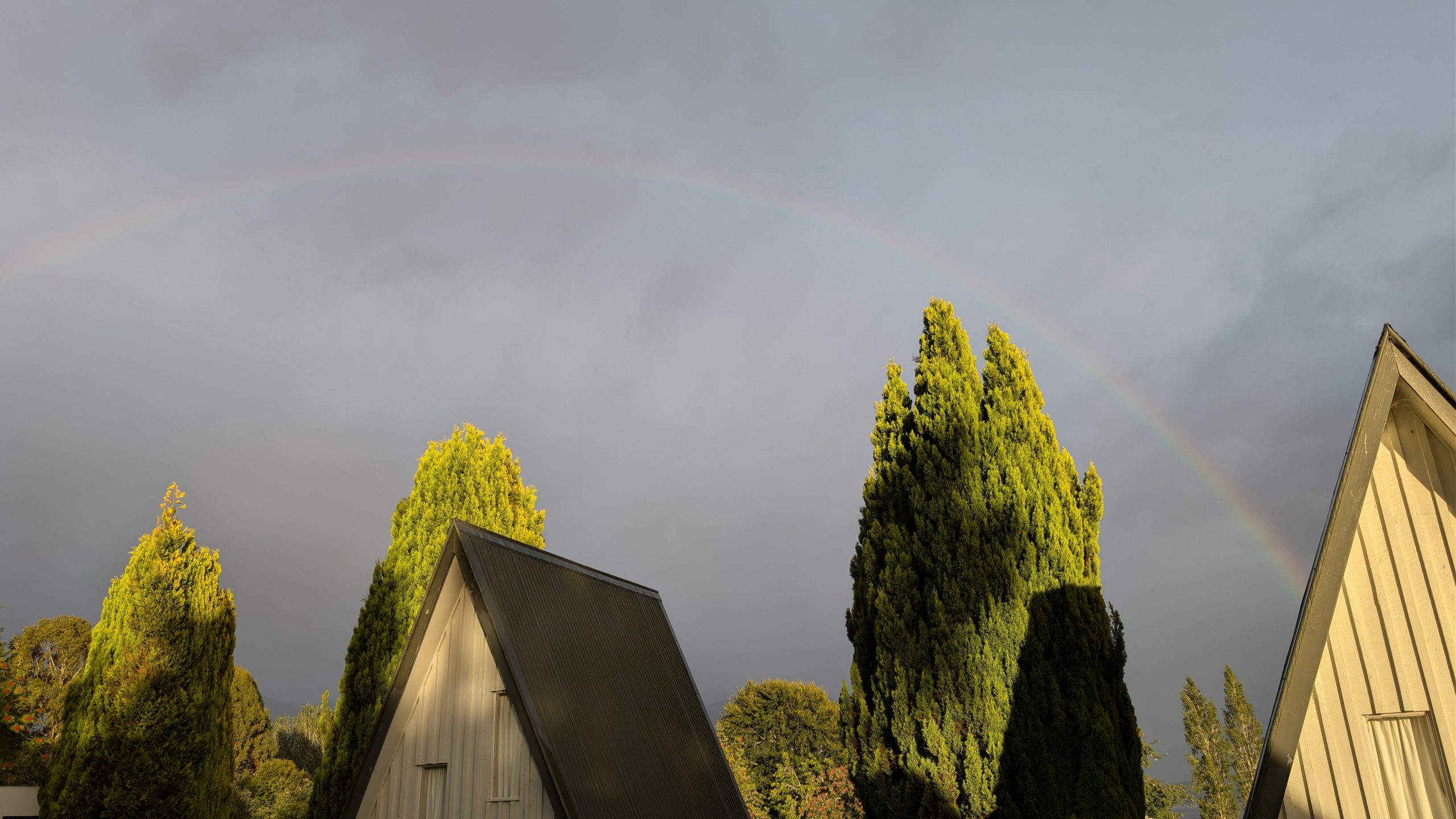
We were told we should take time to get our final photo taken at the "end of the trail" sign before the last hikers arrived. And then, like some sign from the gods, it started to pour! So in order to get that one last photo I became completely drenched.
The official trail length was 33.5 miles, but Graham calculated we hiked a total of 38.3 miles including all of the side trails and the nature walk.
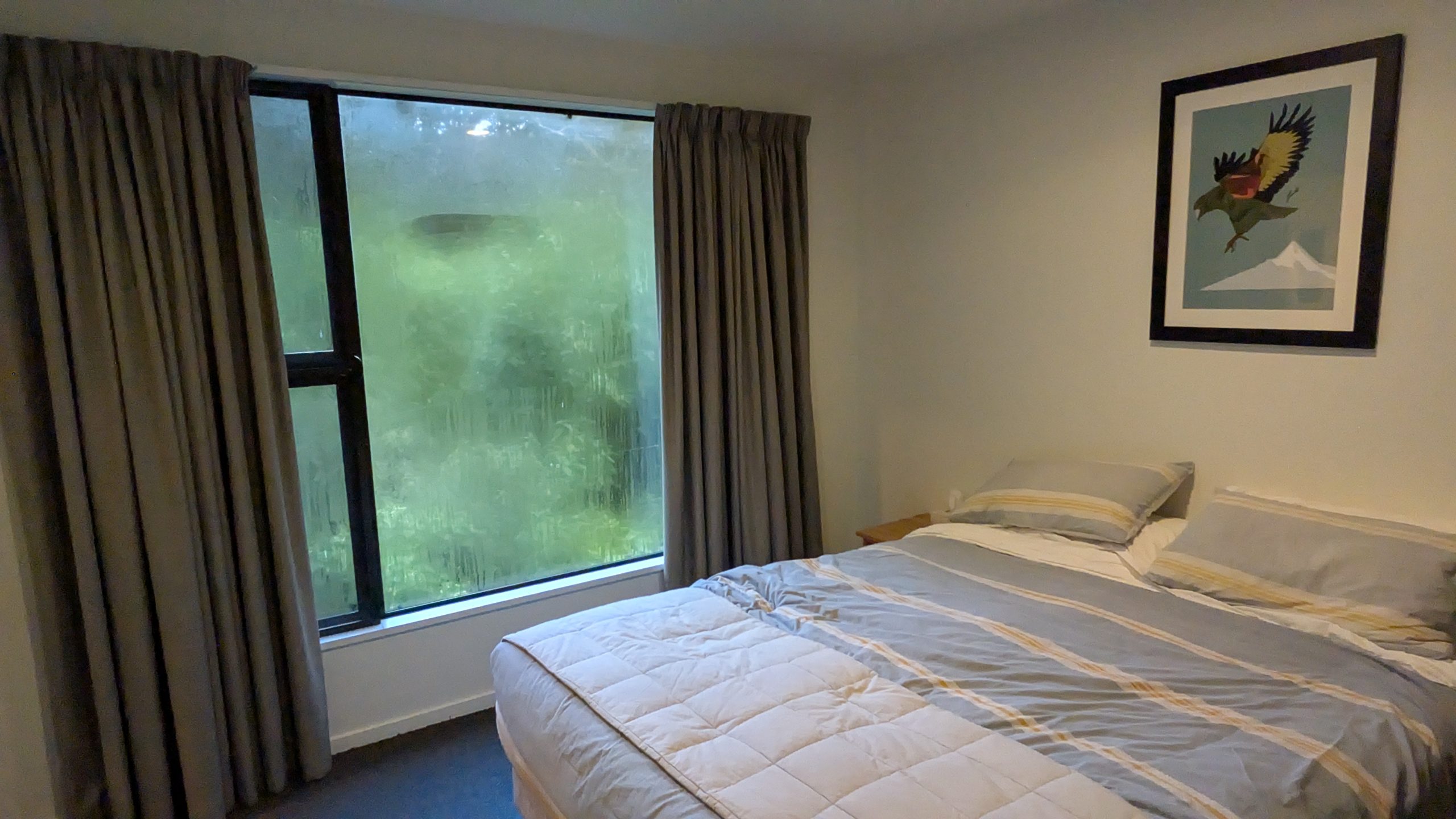
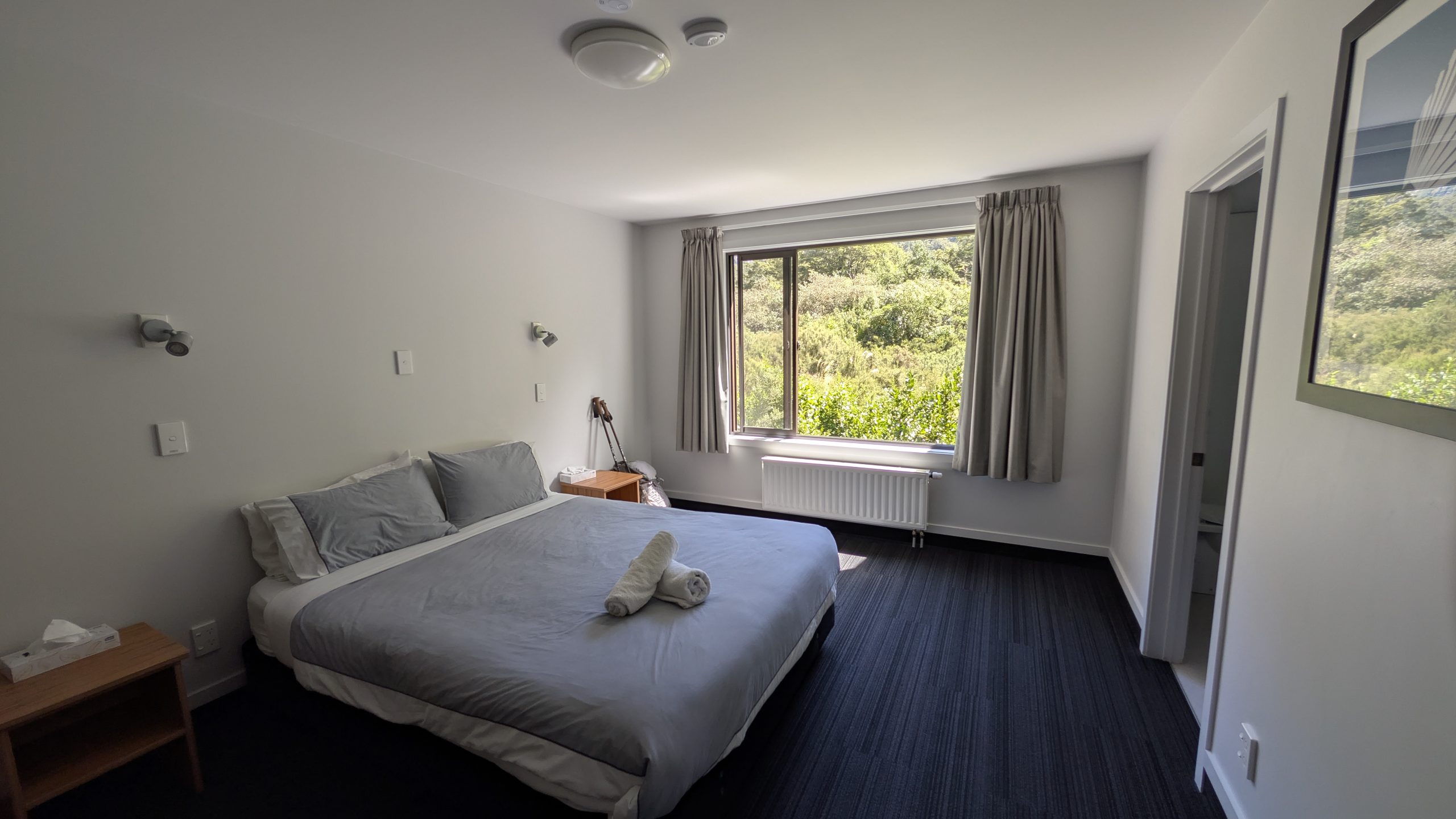
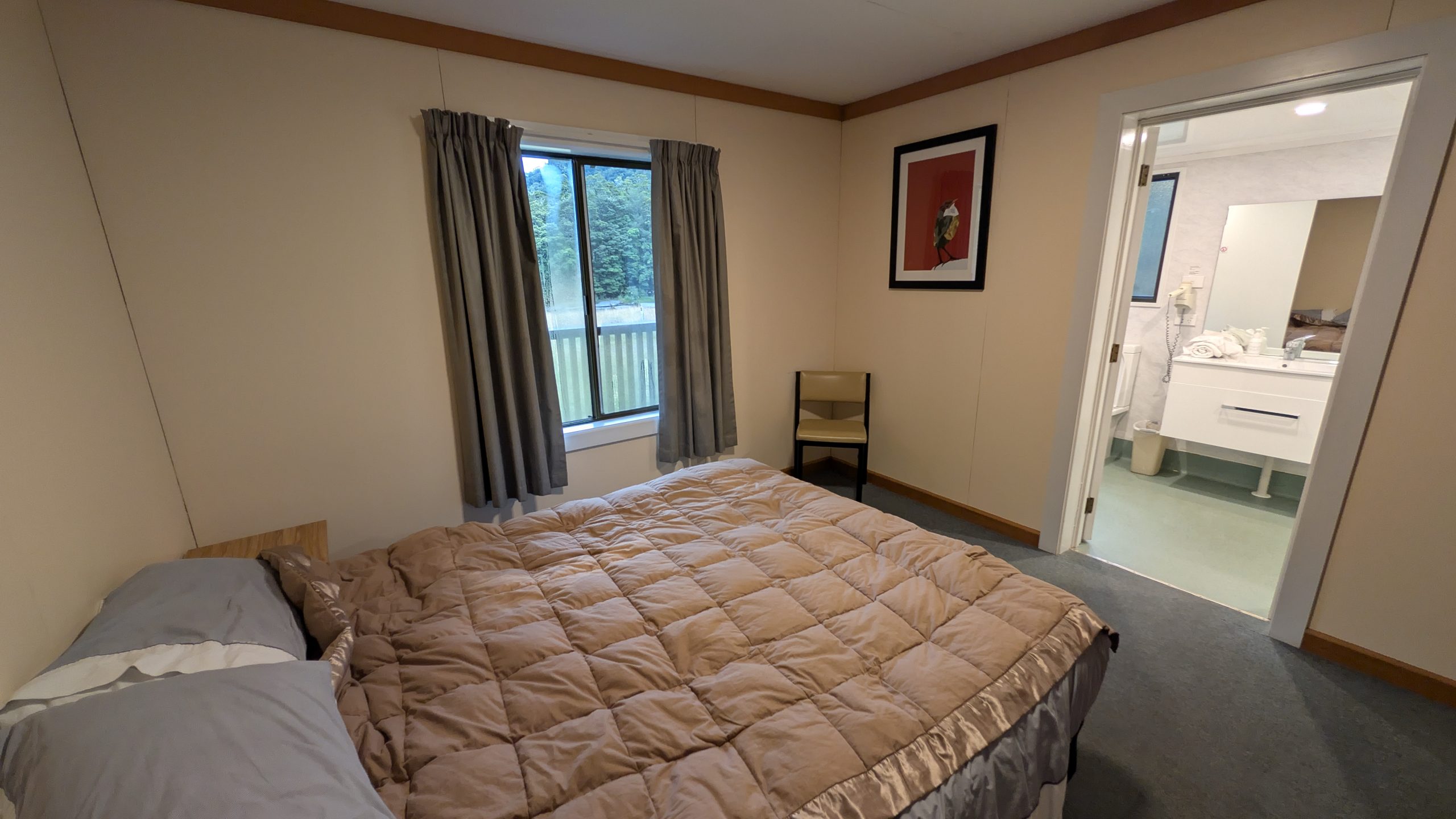
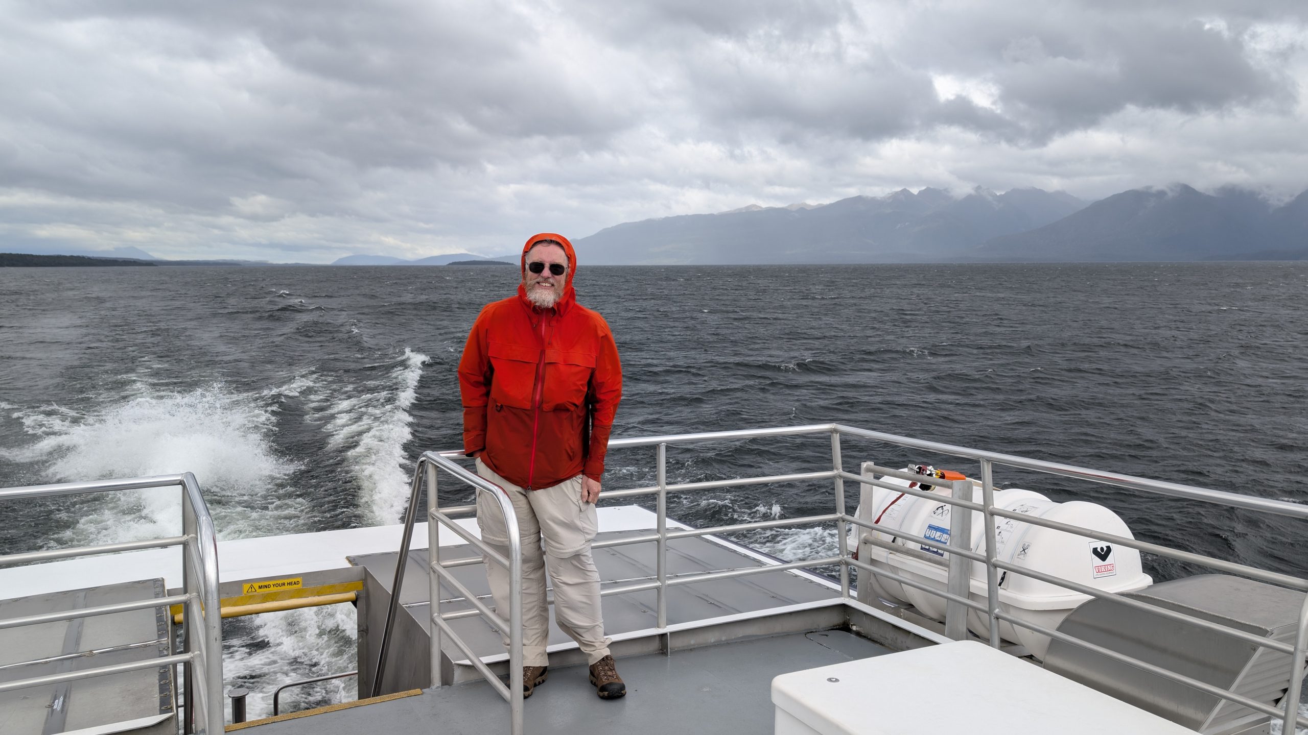
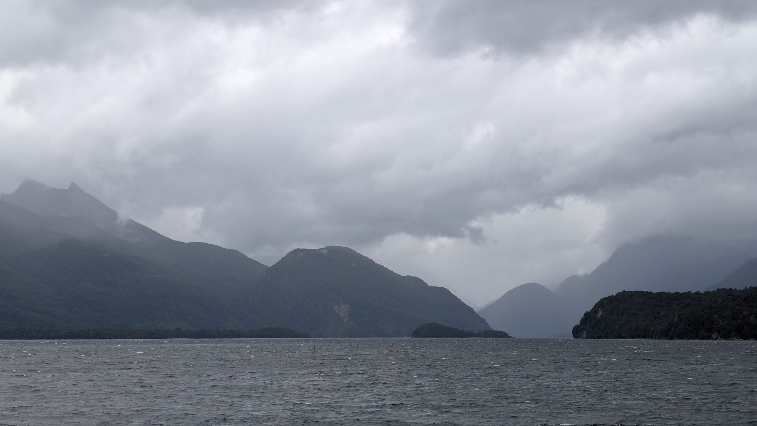
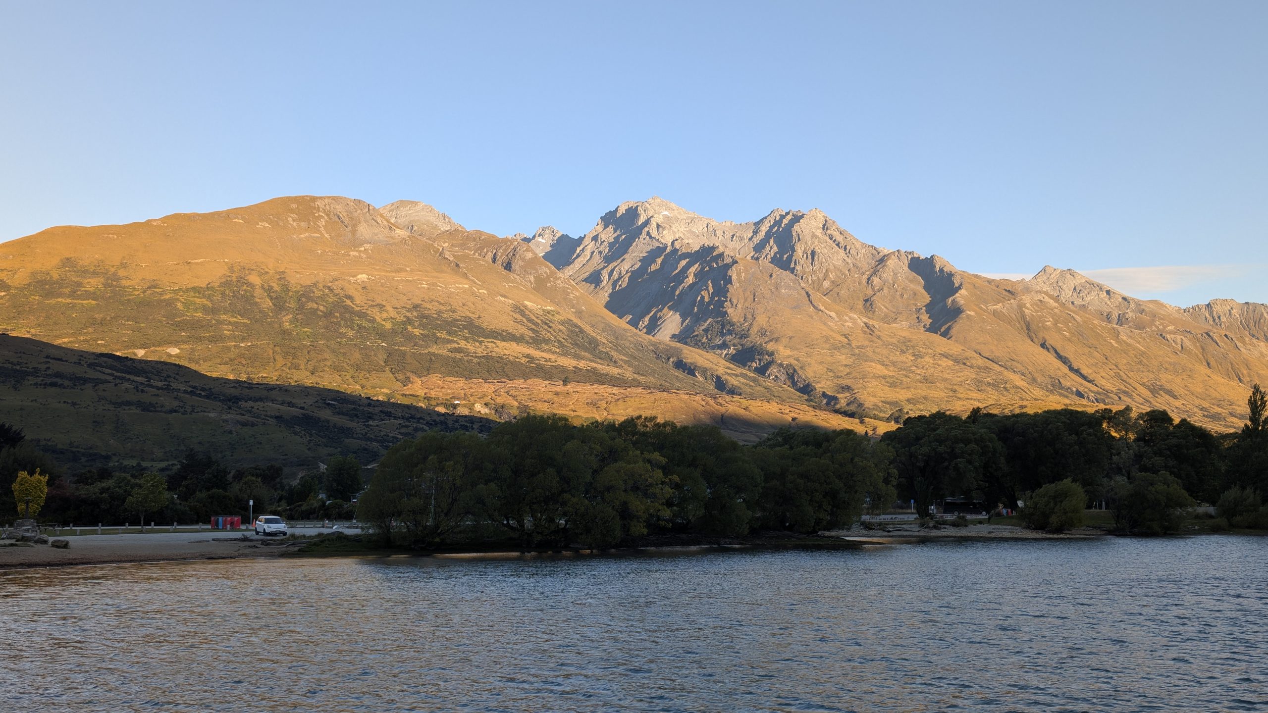
The final hikers arrived and we got on the boat that shuttled us to Milford Sound. From there we took a short bus ride to Mitre Peak Lodge where we checked into our rooms. Once again Heinrich and I got a really great room that was supposed to have a view of Mitre Peak, but there was no view since it was still pouring rain. I do think the reason we got such good rooms was because we were among the very first people to book the tour back in April.
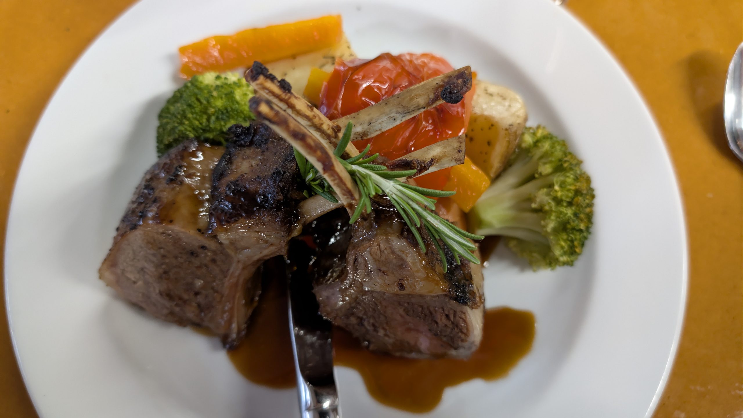
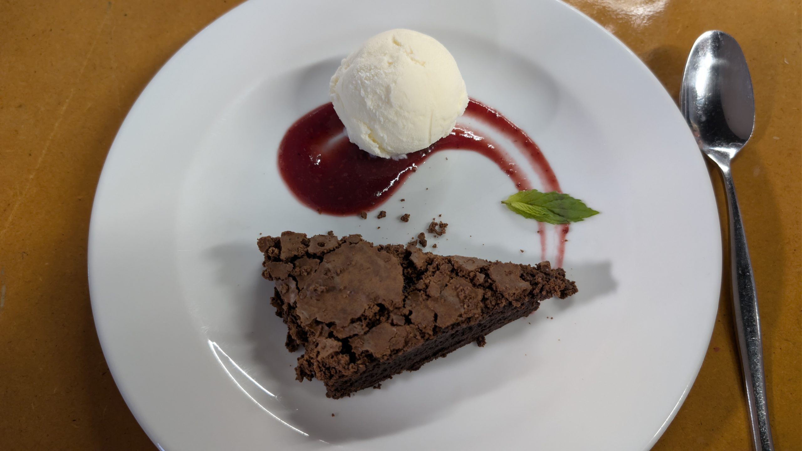
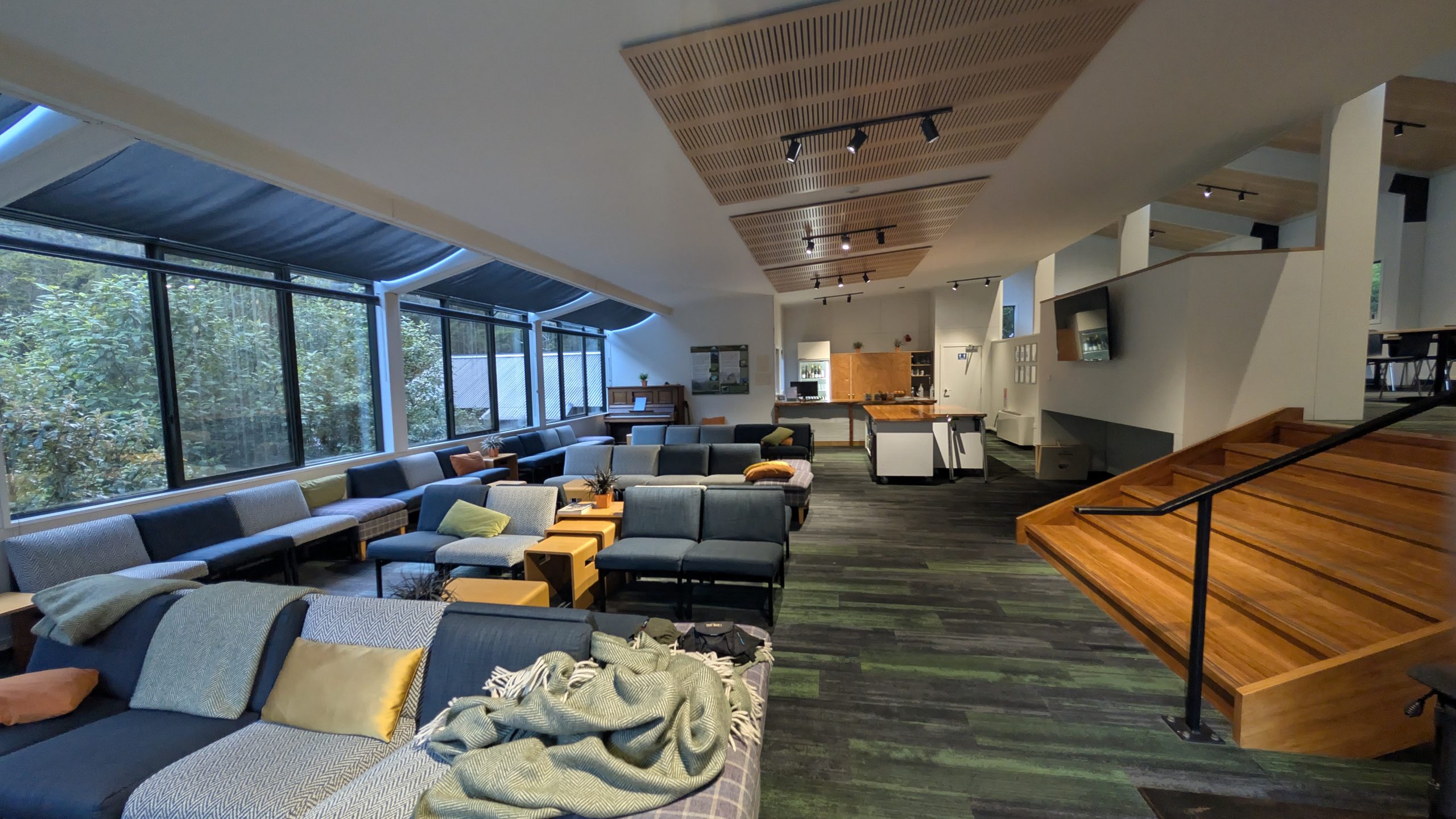
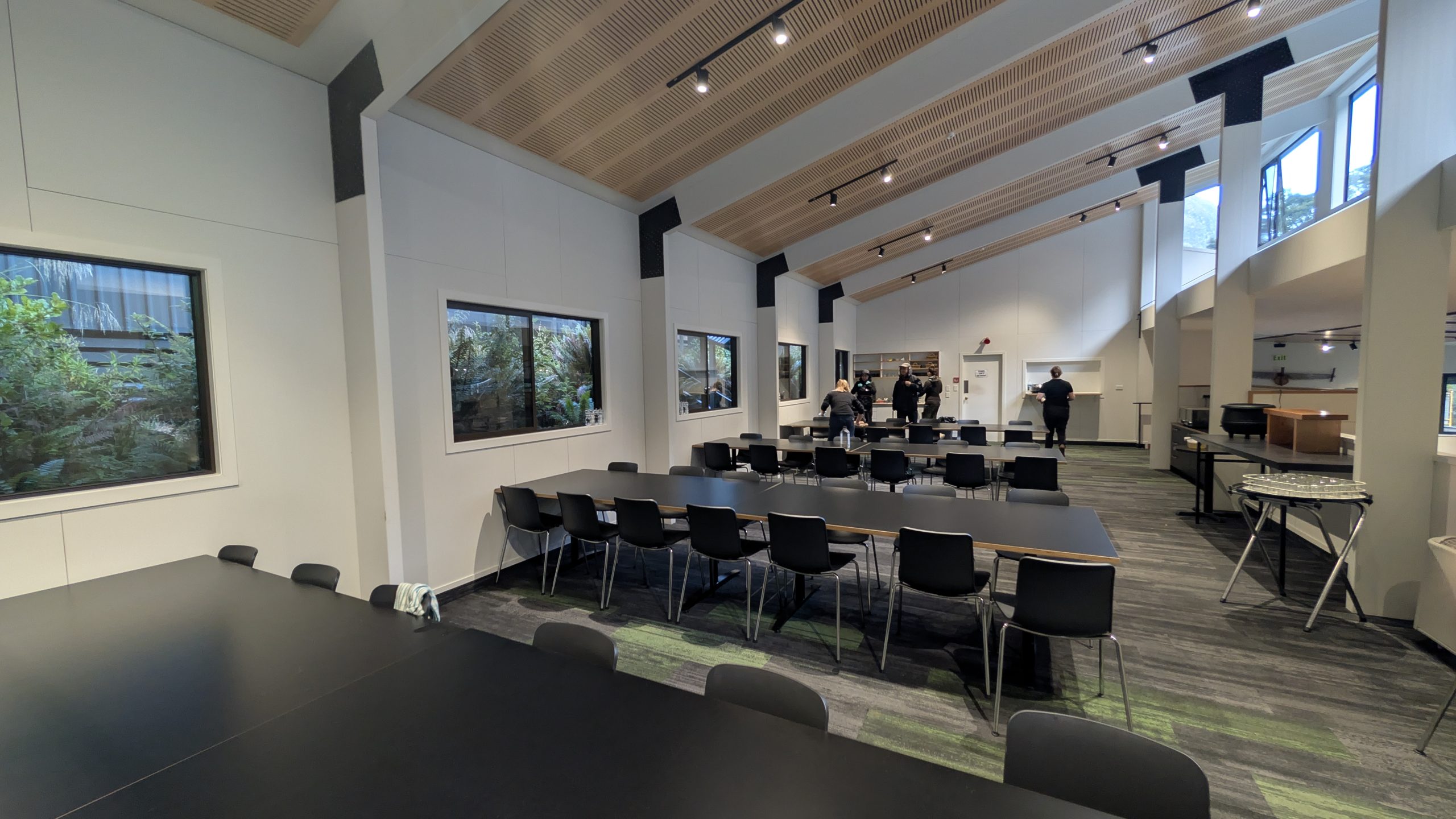
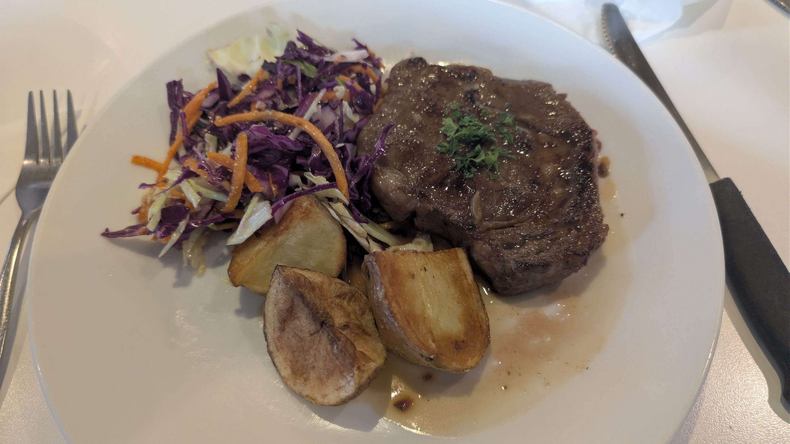
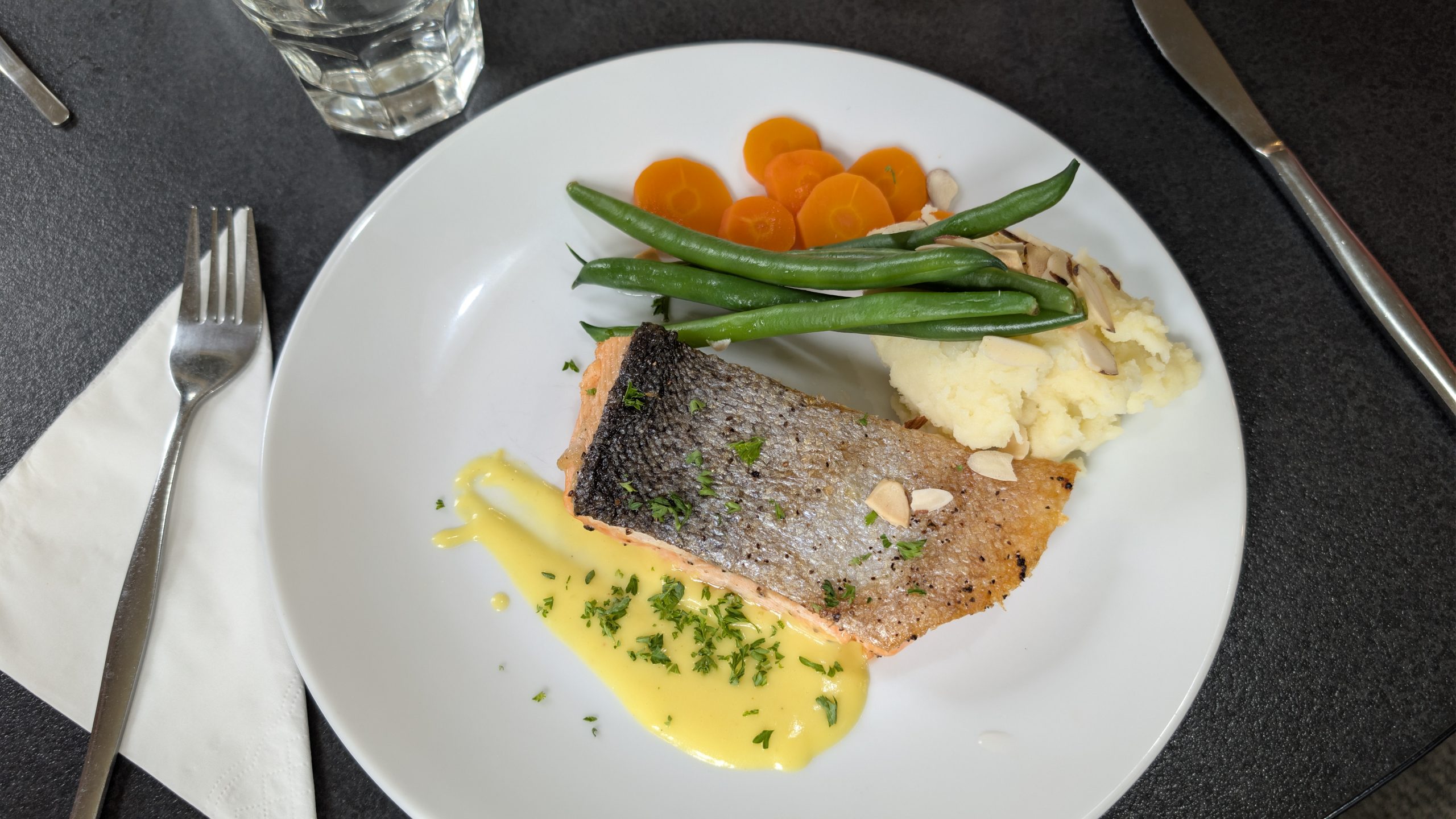
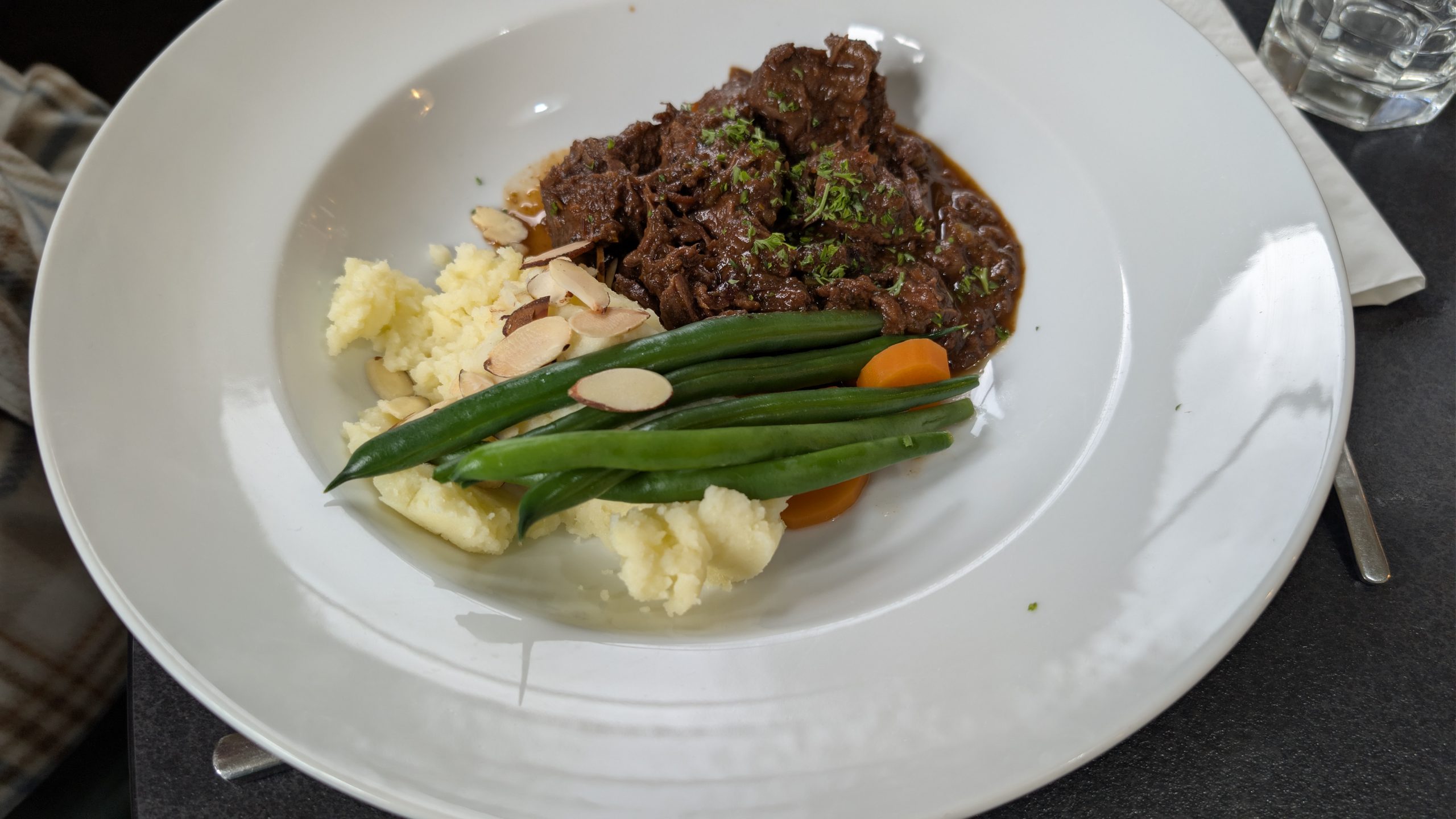
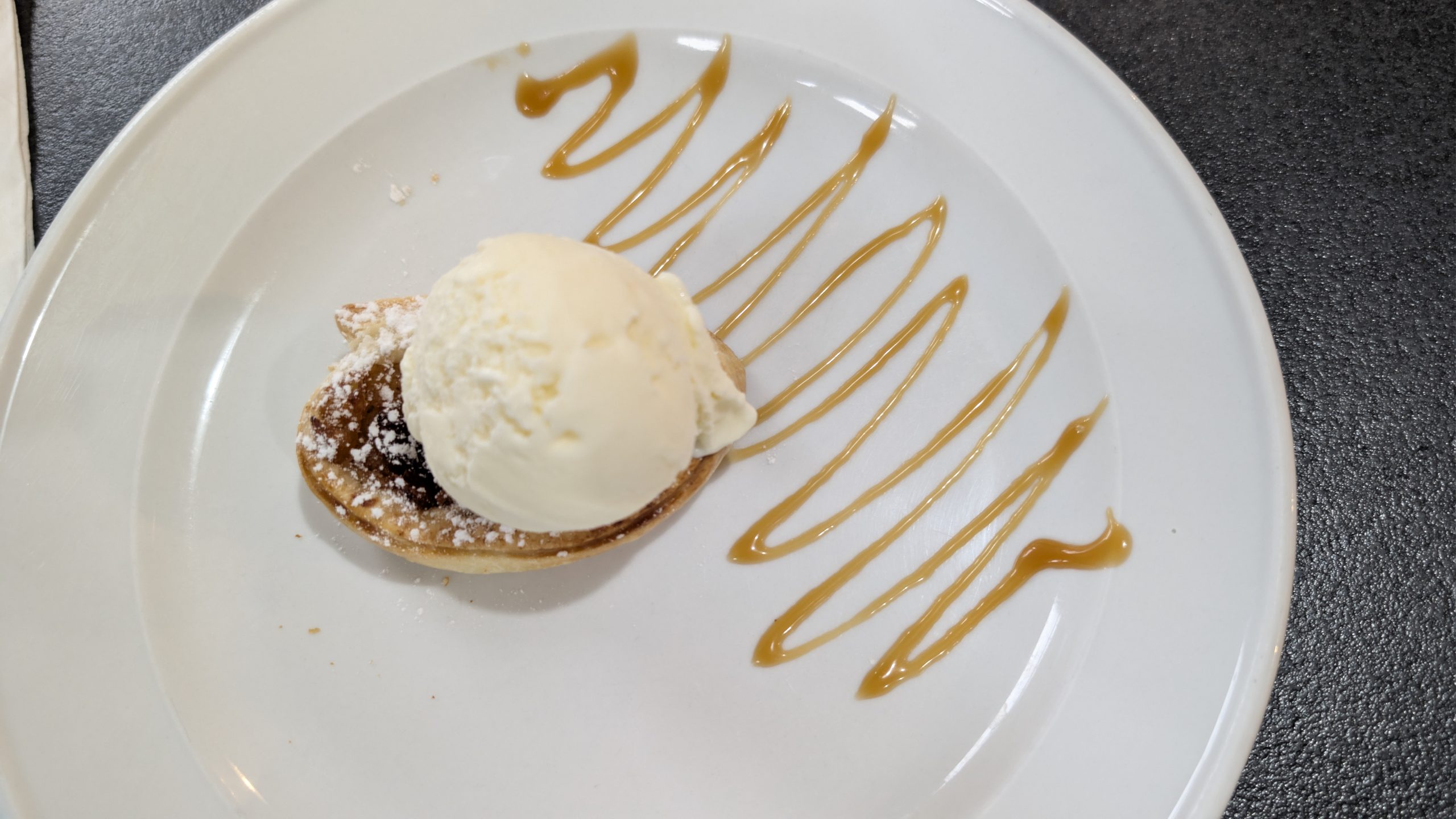
We had the usual wine and drinks before dinner, and then we had the briefing for the next day's activities. Our final dinner for the trip was especially tasty.